Introduction to LiDAR with Drone Technology
LiDAR, which stands for Light Detection and Ranging, is a technology that uses laser light to measure distances and create detailed maps. When combined with drones, LiDAR becomes an even more powerful tool. This combination allows us to gather accurate 3D data over large areas quickly and efficiently.
Choosing the right drone with LiDAR is crucial for obtaining precise data that can be used in various industries, such as construction, forestry, agriculture, and environmental monitoring. The right setup can mean the difference between getting the data you need or missing important details.
Recent advancements in LiDAR technology have made it smaller, lighter, and more affordable. This means that even smaller companies and individual professionals can now use LiDAR drones to enhance their work. In this blog, we will provide a complete guide to LiDAR drones, including how they work, their benefits, and how to choose the right one for your needs. So, read till the end to find out which drone with LiDAR is right for you!
Understanding LiDAR for Drone: How It Works
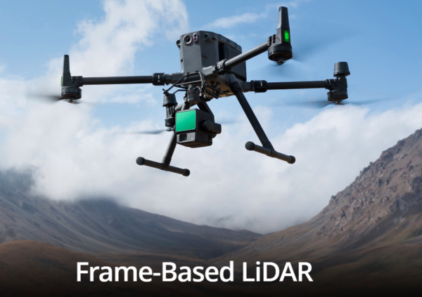
LiDAR: Light Detection and Ranging Defined
LiDAR works by sending out thousands of laser pulses towards the ground. These pulses bounce off objects, like trees or buildings, and return to the LiDAR sensor. By measuring how long it takes for the light to return, the system can calculate the distance to each object. This process happens very quickly, allowing for a large number of measurements to be taken in a short amount of time.
The data collected from these measurements creates what is known as a 3D point cloud. This point cloud is a collection of many individual points that represent the surface of the Earth or objects on it. With specialized software, these points can be processed into detailed 3D models, which are incredibly useful for mapping and analysis.
Comparison to Other Sensing Technologies
Comparison of LiDAR with other traditional sensing technologies like Radar and Sonar:
Feature | LiDAR | Radar | Sonar |
Technology Type | Laser-based | Radio waves | Sound waves |
Distance Measurement | Very precise (centimeter level) | Moderate precision (meter level) | Varies (depth measurement) |
Best Use Cases | Mapping, topography, vegetation analysis | Weather detection, aircraft | Underwater mapping |
Limitations | Affected by weather (fog, rain) | Less effective in dense environments | Limited to underwater use |
LiDAR’s use of laser pulses makes it particularly effective for 3D mapping. It can penetrate dense vegetation, allowing it to gather accurate data in environments where other methods may struggle. This precision is critical for creating high-quality models that can be used in many fields.
In conclusion, understanding how LiDAR technology works is key to leveraging its benefits. Whether you are looking to map an area for construction, analyze forest health, or conduct archaeological surveys, LiDAR drones provide an excellent solution for achieving precise results.
By combining LiDAR with drones, we unlock new possibilities for data collection and mapping that were previously unavailable.
Lidar Drones Accuracy
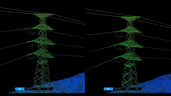
LiDAR Accuracy refers to the precision with which a LiDAR system can measure distances and capture data about the environment. It is influenced by several factors, including the technology used, sensor calibration, and environmental conditions.
Key Points on LiDAR Accuracy:
- Distance Measurement: LiDAR can achieve centimeter-level accuracy in distance measurements, meaning it can accurately determine the position of an object within a few centimeters.
- Point Density: Higher point density (the number of measurements per unit area) results in more detailed and accurate models. This is crucial for capturing complex terrains and features.
- Calibration: Regular calibration of LiDAR sensors ensures consistent accuracy over time.
- Environmental Factors: Conditions such as vegetation density, weather, and terrain type can affect accuracy. For instance, LiDAR can penetrate vegetation, but heavy foliage can still reduce measurement precision.
- Application-Specific Requirements: Different applications (e.g., surveying, mapping, forestry) may have varying accuracy requirements, impacting the choice of LiDAR system.
How LiDAR Data Was Collected Before Drones
Traditional Methods of Collecting LiDAR Data
Before the introduction of drones with LiDAR, collecting LiDAR data was a complicated process. Here’s how it was typically done:
- On Foot: In some situations, surveyors would walk through an area using handheld LiDAR sensors. This method was quite labor-intensive and could take a long time to cover large regions. Surveyors had to be very careful and precise, often resulting in inconsistent data quality.
- By Aircraft: Larger areas were usually surveyed using crewed aircraft like airplanes or helicopters equipped with LiDAR sensors. While this method could cover vast spaces quickly, it was also quite expensive. The cost of flying aircraft made it less accessible for smaller projects or companies.
- Through Satellites: Some LiDAR data was gathered from space using satellites. While this approach could provide valuable information about large geographic areas, the resolution was often lower. This means the detail captured wasn’t as precise, making it harder to use for tasks requiring high accuracy.
These traditional methods had their advantages, but they also came with significant drawbacks. They were time-consuming, costly, and often lacked the precision needed for detailed analysis.
Revolutionary Role of Drones Equipped with LiDAR
Now, let’s look at how LiDAR for drones has changed everything. Drones equipped with LiDAR sensors have made data collection faster, cheaper, and more efficient.
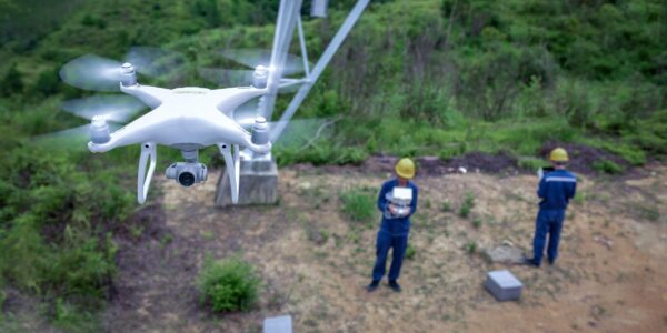
- Speed: Drones can cover large areas in a fraction of the time it would take to collect data on foot or by aircraft. This allows for quicker assessments and faster decision-making.
- Cost Efficiency: Using drones with LiDAR is much more affordable than traditional methods. The reduced operational costs make it easier for smaller companies or projects to access high-quality LiDAR data.
- Accessibility: Drones can reach areas that are difficult or dangerous for humans to access. Whether it’s steep terrain or dense forests, LiDAR drones can capture important data without putting anyone at risk.
- High Precision: Drones equipped with LiDAR systems provide highly accurate data. They can create detailed 3D maps that were hard to achieve with older methods. This level of detail is crucial for applications like urban planning, forestry management, and infrastructure assessments.
Why Have LiDAR Drones Become So Popular?
Improvements in LiDAR Technology
The rise of LiDAR drones can be attributed to significant improvements in LiDAR technology. Here are some key advancements:
- Smaller Sensors: Modern LiDAR sensors are much smaller than their predecessors. This compact size makes them easier to integrate into drones without affecting their performance.
- Enhanced Accuracy: Newer LiDAR technology offers improved accuracy, allowing users to capture data with centimeter-level precision. This is essential for industries requiring high-quality measurements.
- Advanced Features: Many LiDAR systems now come with advanced features that enable better data processing and analysis, making them more user-friendly.
Cost Effectiveness
The cost of LiDAR sensors has decreased significantly over the years. This reduction in price has lowered the barrier to entry for many companies looking to adopt this technology. Here’s how:
- Affordable Options: High-quality LiDAR sensors are now available at a fraction of the price they used to be. This affordability allows more companies to invest in drone with LiDAR systems.
- Increased Accessibility: With reduced costs, small businesses and startups can now access LiDAR technology, which was previously reserved for large companies with bigger budgets.
- Return on Investment: Using LiDAR drones can lead to long-term savings. By streamlining data collection and reducing labor costs, organizations can achieve a quicker return on their investments.
How to Choose the Right LiDAR Camera: Key Considerations for DJI & Autel Drones with LiDAR Systems
Choosing the right drone with LiDAR technology is crucial for collecting accurate and detailed spatial data. LiDAR drones have transformed the way various industries gather and analyze information about the environment. When selecting a LiDAR camera for your drone, it’s important to consider several key factors. Here are some essential points to help guide your decision.
1. Purpose of Use
Before you select a LiDAR drone, think about what you need it for. Different projects require different specifications. For example:
- Surveying and Mapping: If your primary use is surveying large areas, you’ll want a drone that can cover significant distances while maintaining accuracy.
- Forestry Management: A drone that can penetrate dense foliage and collect data under tree canopies is essential for assessing forest health.
- Construction Monitoring: If you need to monitor construction sites, look for drones that provide real-time data and can create 3D models of the terrain.
2. Flight Time and Battery Life
Flight time directly impacts how much area you can cover during a single operation. Look for drones with LiDAR that have longer battery life to maximize your data collection efforts. A drone with a flight time of at least 30 minutes is ideal for extensive projects.
3. Data Processing Capabilities
After data collection, processing that data is essential for creating usable models. Some LiDAR drones come with integrated software that allows for immediate processing of the collected data, while others might require additional software packages. Here’s what to consider:
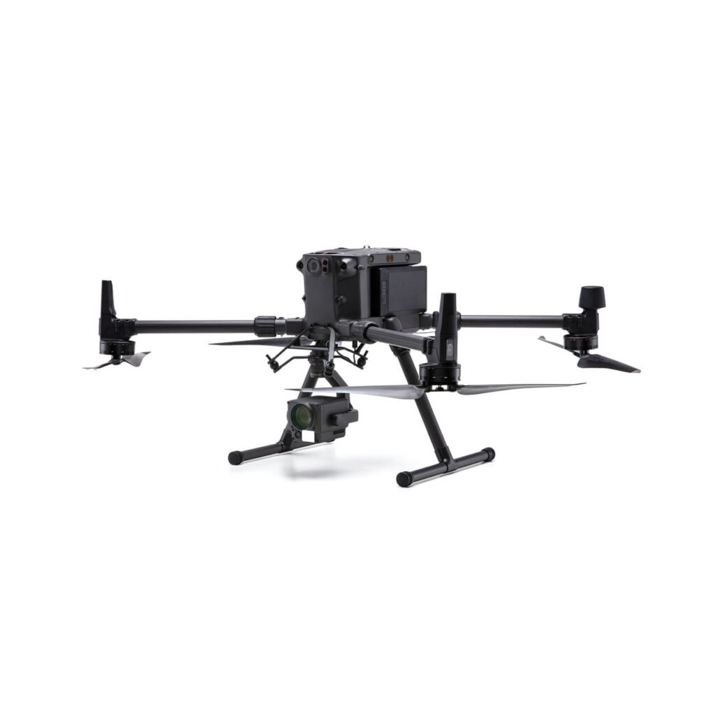
- Integrated Processing: Some drones can process data on-board, which can save time.
- Compatibility with Processing Software: Ensure that the LiDAR data can be easily integrated with popular software like DJI Terra or other GIS platforms.
Key DJI Drones Compatible with LiDAR Systems
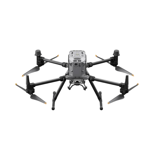
1. DJI Matrice 300 RTK
- LiDAR Camera: DJI Zenmuse L1
- Applications: High-precision surveying, mapping, construction, and forestry
- Features: The M300 RTK is compatible with the DJI Zenmuse L1, which integrates a Livox LiDAR module, a high-precision IMU, and a camera with a 1-inch CMOS sensor. It delivers centimeter-level accuracy in 3D data collection.
- Flight Time: Up to 55 minutes
- Cost: Approximately £10,000 / $13,000 / AED 47,500 / ₹10,75,000
- Check Out our DJI Matrice 300 RTK
2. DJI Matrice 350 RTK
- LiDAR Camera: DJI Zenmuse L1
- Applications: Industrial inspection, topographic mapping, and large-scale infrastructure surveys
- Features: The M350 RTK is an advanced version of the M300, supporting the same DJI Zenmuse L1 LiDAR camera, offering excellent accuracy for geospatial data collection.
- Flight Time: Up to 55 minutes
- Cost: Approximately £13,500 / $17,500 / AED 64,500 / ₹15,00,000
- Check out our DJI Matrice 350 RTK
3. DJI Matrice 600 Pro
- LiDAR Cameras: Third-party LiDAR systems (RIEGL, Velodyne, Phoenix LiDAR)
- Applications: Large-scale surveys, agriculture, construction, and mining
- Features: The M600 Pro is a heavy-lift drone with the capacity to carry larger third-party LiDAR systems. It’s perfect for carrying payloads that require more power and stability.
- Flight Time: Up to 40 minutes
- Cost: Approximately £6,000 / $8,000 / AED 30,000 / ₹7,00,000
4. DJI Matrice 200 Series (M210 RTK V2)
- LiDAR Cameras: Third-party LiDAR systems
- Applications: Infrastructure inspection, geospatial mapping, and environmental monitoring
- Features: The M210 RTK V2 can be equipped with third-party LiDAR sensors, making it suitable for use in rugged environments.
- Flight Time: Up to 38 minutes
- Cost: Approximately £3,500 / $5,000 / AED 18,500 / ₹4,50,000
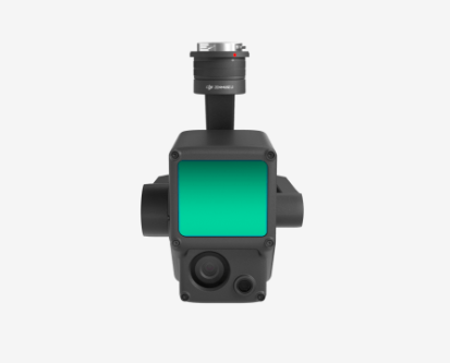
1. DJI LiDAR Camera: Zenmuse L1
- Features: Integrates a Livox LiDAR module, 1-inch CMOS camera, and high-precision IMU for real-time 3D data collection. Supports centimeter-level accuracy and efficient mapping even in challenging environments.
- Use Cases: Surveying and Mapping for accurate terrain models. Construction and Forestry Management to assess land use and manage resources.
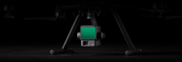
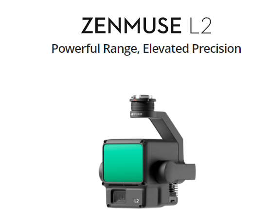
2. DJI Zenmuse L2 LiDAR Camera
- Features: The Zenmuse L2 integrates an upgraded LiDAR module with a 20MP 4/3 CMOS RGB camera and a high-precision IMU. It supports multi-return data collection, allowing detection of objects beneath dense foliage, and can achieve 5 cm horizontal and 4 cm vertical accuracy for highly detailed 3D mapping.
- Use Cases: Ideal for high-precision applications such as terrain surveying, forestry management, large-scale infrastructure inspection, and construction modeling
Key Autel Drones Compatible with LiDAR Systems
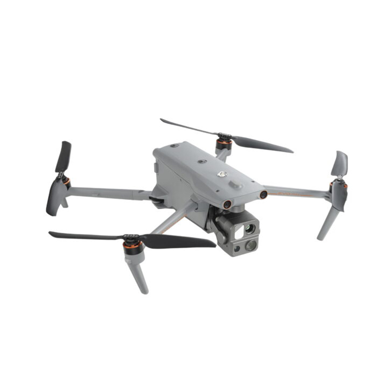
1. Autel EVO Max 4T
- LiDAR Camera: Compatible with third-party LiDAR systems
- Applications: Surveying, mapping, security, and infrastructure inspection
- Features: The EVO Max 4T supports third-party LiDAR sensors for high-precision 3D data collection.
- Flight Time: Up to 40 minutes
- Cost: Approximately £3,000 / $4,000 / AED 14,500 / ₹3,50,000
- Check out Autel EVO Max 4T
2. Autel EVO Max 4N
- LiDAR Camera: Compatible with third-party LiDAR systems
- Applications: Night operations, mapping, search and rescue
- Features: Built for low-light operations, valuable for night-time LiDAR mapping.
- Flight Time: Up to 40 minutes
- Cost: Approximately £3,200 / $4,200 / AED 15,500 / ₹3,80,000
- Check out Autel EVO Max 4N
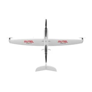
3. Autel Dragonfish Standard
- LiDAR Camera: Compatible with third-party LiDAR systems
- Applications: Long-range mapping, forestry, large-scale infrastructure monitoring
- Features: A fixed-wing VTOL drone for long-endurance missions.
- Flight Time: Up to 60 minutes
- Cost: Approximately £7,000 / $9,000 / AED 33,000 / ₹8,00,000
- Check out Autel Dragonfish Standard
4. Autel Dragonfish Lite
- LiDAR Camera: Compatible with third-party LiDAR systems
- Applications: Smaller mapping projects, geospatial surveys
- Features: Ideal for short-range LiDAR mapping projects with smaller payloads.
- Flight Time: Up to 40 minutes
- Cost: Approximately £5,000 / $6,000 / AED 22,000 / ₹5,50,000
- Check out Dragonfish Lit
5. Autel Dragonfish Pro
- LiDAR Camera: Compatible with third-party LiDAR systems
- Applications: High-precision mapping, infrastructure inspections
- Features: Capable of carrying larger LiDAR payloads for highly detailed mapping.
- Flight Time: Up to 60 minutes
- Cost: Approximately £9,000 / $12,000 / AED 44,000 / ₹10,50,000
- Check out Autel Dragonfish Pro
6. Autel LiDAR Camera Options
Autel Robotics doesn’t have proprietary LiDAR sensors like DJI’s Zenmuse L1, but its drones, especially the EVO Max and Dragonfish series, are compatible with third-party LiDAR systems from manufacturers like Velodyne, RIEGL, and Phoenix LiDAR.
Comparison of Key DJI & Autel Drones with LiDAR Integration
Drone Model | LiDAR Camera | Applications | Flight Time | Cost (approx.) |
DJI Matrice 300 RTK | DJI Zenmuse L1 | Surveying, mapping, forestry | Up to 55 mins | £10,000 / $13,000 / AED 47,500 / ₹10,75,000 |
DJI Matrice 350 RTK | DJI Zenmuse L1 | Industrial inspection, topographic mapping | Up to 55 mins | £13,500 / $17,500 / AED 64,500 / ₹15,00,000 |
DJI Matrice 600 Pro | Third-party (RIEGL, Velodyne) | Large-scale surveys, agriculture | Up to 40 mins | £6,000 / $8,000 / AED 30,000 / ₹7,00,000 |
DJI Matrice 200 Series (M210) | Third-party LiDAR | Infrastructure inspection, mapping | Up to 38 mins | £3,500 / $5,000 / AED 18,500 / ₹4,50,000 |
Autel EVO Max 4T | Third-party LiDAR | Surveying, infrastructure inspection | Up to 40 mins | £3,000 / $4,000 / AED 14,500 / ₹3,50,000 |
Autel EVO Max 4N | Third-party LiDAR | Night-time mapping, search and rescue | Up to 40 mins | £3,200 / $4,200 / AED 15,500 / ₹3,80,000 |
Autel EVO Max 4RTK | Third-party LiDAR | Precision mapping, industrial applications | Up to 40 mins | £3,500 / $4,500 / AED 16,500 / ₹4,00,000 |
Autel Dragonfish Standard | Third-party LiDAR | Long-range mapping, forestry | Up to 60 mins | £7,000 / $9,000 / AED 33,000 / ₹8,00,000 |
Autel Dragonfish Lite | Third-party LiDAR | Short-range surveys | Up to 40 mins | £5,000 / $6,000 / AED 22,000 / ₹5,50,000 |
Autel Dragonfish Pro | Third-party LiDAR | High-precision mapping, infrastructure | Up to 60 mins | £9,000 / $12,000 / AED 44,000 / ₹10,50,000 |
How LiDAR Works with Drones: Step-by-Step Process
1. Emission and Reflection of Laser Pulses
The process of how LiDAR works with drones begins with the emission of laser pulses:
- Laser Emission: The LiDAR system on the drone emits thousands of laser pulses every second. These pulses travel toward the ground and reflect back to the sensor.
- Reflection: When the laser pulses hit objects on the ground, they bounce back to the LiDAR sensor. The time it takes for each pulse to return is measured.
2. Distance Calculation
After the pulses are reflected, the next step involves calculating the distances:
- Speed of Light: The LiDAR system uses the speed of light to calculate how far each pulse traveled. Since light travels at a known speed, it can easily determine the distance to each object.
- Precise Measurements: This distance calculation is essential for creating accurate maps. Each measurement helps build a detailed picture of the terrain.
3. Data Collection and Point Clouds
Each pulse contributes to a larger dataset known as a “point cloud”:
- Data Points: Every time a laser pulse returns, it generates a data point. This point represents a precise distance measurement.
- Formation of Point Clouds: Collectively, these points form a “point cloud,” which contains a wealth of information about the surveyed area.
4. Point Cloud Processing
Once the point cloud is created, it must be processed:
- Creating 3D Models: Specialized software takes the point cloud data and processes it to create detailed 3D models of the terrain.
- Analysis and Visualization: These models can then be analyzed to extract important information, such as elevation changes or vegetation density.
5. Integration with GPS
Finally, GPS technology plays a crucial role in ensuring spatial accuracy:
- Geolocation: The LiDAR systems use GPS to geolocate each point in the cloud. This means that every data point is accurately mapped to its position on Earth.
- Enhanced Accuracy: This integration allows for improved spatial accuracy, ensuring that the resulting 3D models are reliable and usable for various applications.
Benefits of Using Drones with LiDAR Sensors
Drones equipped with LiDAR sensors offer remarkable precision, capturing aerial data with an accuracy of centimeters. This level of accuracy is essential for creating detailed 3D models of landscapes and structures. Whether you’re mapping a construction site or surveying a forest, the precise measurements provided by LiDAR ensure that every detail is captured accurately. This not only helps in creating reliable data but also aids in making informed decisions based on the collected information.
2. Penetrating Vegetation and Other Obstacles
One of the standout features of drones with LiDAR is their ability to penetrate dense vegetation and other obstacles. This capability is especially important in areas like forestry and urban planning. Traditional mapping methods can struggle in areas with heavy tree cover or buildings, but LiDAR for drones can easily measure ground surfaces even when they are hidden beneath foliage. This ability allows land surveyors and environmental scientists to gather crucial data that was once difficult to obtain, helping to ensure better planning and management of natural resources.
3. Unrivaled Data Collection
LiDAR-equipped drones can rapidly cover large areas, making them highly efficient for data collection. Unlike traditional surveying methods that require significant time and labor, drones can fly over vast expanses and gather detailed information in a fraction of the time. This efficiency not only saves money but also allows for timely data collection. With the ability to quickly gather intricate details, LiDAR drones provide organizations with the data they need to make swift and informed decisions.
4. Versatile Deployment
The adaptability of drones with LiDAR sensors makes them suitable for a variety of applications across different industries. In construction, they can be used for site surveys, helping builders assess land before starting projects. In agriculture, farmers can utilize LiDAR drones to monitor crop health and optimize irrigation systems. Their versatility extends to environmental monitoring, disaster management, and more. This wide range of applications demonstrates how LiDAR for drones can be integrated into many sectors, enhancing their effectiveness.
LiDAR Drones vs. Photogrammetry: Key Differences
What is Photogrammetry?
Key points about Photogrammetry:
- Image-Based Measurements: Uses photographs to gather spatial data.
- Dependence on Lighting Conditions: Requires good lighting for accurate measurements.
- Limitations with Vegetation: Struggles to accurately measure ground surfaces covered by trees or obstructions.
- Processing Requirements: Typically requires more computing power and time to process the images into usable data.
LiDAR vs. Photogrammetry: Key Differences
Feature | LiDAR | Photogrammetry |
Measurement Method | Uses laser pulses to measure distances | Uses photographs to estimate distances |
Accuracy | Centimeter-level accuracy | Lower precision, dependent on quality of images |
Vegetation Penetration | Can penetrate dense foliage and obstacles | Struggles with dense cover |
Data Collection Speed | Rapid coverage of large areas | Slower, requires multiple images |
3D Model Detail | Generates detailed point clouds | Creates visually rich, but less detailed, models |
Situations to Use Each Technology
When deciding whether to use LiDAR drones or photogrammetry, it’s important to consider the specific project requirements and the environment:
- LiDAR is ideal for:
- Forestry Management: Mapping areas beneath tree canopies to assess vegetation and terrain.
- Urban Planning: Gathering detailed ground measurements in cities where obstructions are common.
- Infrastructure Inspections: Inspecting power lines and bridges where high precision is necessary.
- Photogrammetry is best for:
- Open Fields: Surveying bare earth mine sites and agricultural lands where obstructions are minimal.
- Small Projects: Quick assessments of smaller areas that don’t require extensive data collection.
- Cultural Heritage Documentation: Recording structures in detail without invasive methods.
Guidelines for Choosing Between LiDAR and Photogrammetry
- Terrain Characteristics: Use LiDAR in densely vegetated or complex terrains, and photogrammetry in open, unobstructed areas.
- Project Scale: For large surveys requiring high accuracy, LiDAR drones are preferred, while photogrammetry can work well for smaller projects.
- Budget Constraints: LiDAR systems can be more expensive; assess whether your project can justify the cost based on the required precision.
- Data Requirements: Determine what level of detail is needed. If centimeter-level accuracy is crucial, opt for LiDAR; if visual representation is sufficient, consider photogrammetry.
- Timeframe: If time is of the essence and you need to cover a large area quickly, LiDAR-equipped drones provide a faster solution.
Industry Applications of LiDAR Drones
LiDAR drones have transformed how industries collect, analyze, and utilize spatial data, enabling more informed decision-making and operational efficiency. Their ability to capture precise, high-resolution data across different environments makes them essential tools in various fields. Below are detailed applications of drones with LiDAR technology, highlighting their unique contributions.
Industry Applications of LiDAR Drones
Industry | Application | Benefits |
Agriculture | Monitoring crop health and soil properties | Identifies issues like disease and optimizes irrigation |
Archaeology | Mapping hidden structures beneath vegetation | Preserves archaeological sites with non-invasive methods |
Construction | Site surveys and progress tracking | Enhances decision-making with real-time data |
Disaster Management | Rapid assessment of affected areas | Aids in recovery planning and resource allocation |
Environmental Monitoring | Tracking ecosystem changes | Supports conservation efforts and policy-making |
Forestry | Assessing tree health and biomass | Enables sustainable forest management |
Infrastructure Inspections | Inspecting bridges, roads, and dams | Identifies hazards and reduces inspection time |
Mining | Mapping and monitoring mining sites | Improves operational efficiency and safety |
Pipeline Monitoring | Checking for leaks and corrosion in pipelines | Enhances maintenance planning and safety |
Power Line Inspections | Monitoring power lines for vegetation encroachment | Ensures reliability and safety of electrical infrastructure |
Railway Inspections | Assessing track conditions and vegetation encroachment | Supports maintenance and operational efficiency |
Telecommunications | Planning efficient networks and infrastructure | Improves connectivity and service quality |
Topographic Mapping | Creating high-resolution maps for land surveying | Aids in geological studies and infrastructure planning |
Urban Planning | Designing efficient transportation systems | Supports disaster preparedness and zoning |
Wildlife Habitat Analysis | Mapping terrain and vegetation for wildlife studies | Assists in tracking animal populations and conservation planning |
1. Agriculture
In agriculture, LiDAR drones are revolutionizing farming practices by offering farmers critical insights into their crops and land. The technology allows for more precise management of resources, ultimately enhancing yield and sustainability.
- Crop Monitoring and Health Assessment: LiDAR drones can monitor crop growth over time, identifying areas that may require additional nutrients or water. By detecting subtle variations in crop health, farmers can target their interventions more effectively.
- Soil Management: The ability to analyze soil composition and moisture content through LiDAR helps farmers adjust irrigation strategies and improve soil health, leading to more productive fields.
- Precision Planting: By mapping the terrain and understanding soil variability, farmers can implement precision planting techniques that optimize seed placement and spacing, ultimately leading to better crop yields.
- Irrigation Planning: Drones equipped with LiDAR can generate detailed elevation maps, enabling farmers to design efficient irrigation systems that minimize water waste and enhance productivity.
- Harvest Planning: With accurate data on crop maturity and density, farmers can time their harvests more effectively, improving both quality and efficiency.
2. Archaeology
LiDAR drones are a game changer for archaeologists, allowing for the exploration of historical sites without disturbing the ground, which preserves delicate structures and artifacts.
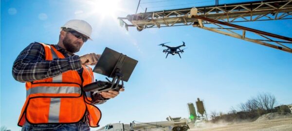
- Mapping Ancient Landscapes: Drones can reveal long-lost structures and landscape features hidden under vegetation, providing new insights into ancient civilizations and their environments.
- Identifying Sites of Interest: By quickly surveying large areas, archaeologists can pinpoint potential excavation sites, streamlining their efforts and resources.
- Non-Invasive Exploration: The technology allows for detailed surveying without the need for extensive groundwork, making it easier to study fragile sites that traditional methods might damage.
- Historical Context Analysis: LiDAR-generated maps can provide valuable context for understanding how ancient societies interacted with their landscapes, contributing to broader historical narratives.
- Monitoring Sites Over Time: Drones can regularly survey archaeological sites, tracking changes and threats from natural processes or human activities.
3. Construction
In construction, LiDAR-equipped drones facilitate better planning, management, and execution of projects, leading to improved outcomes.
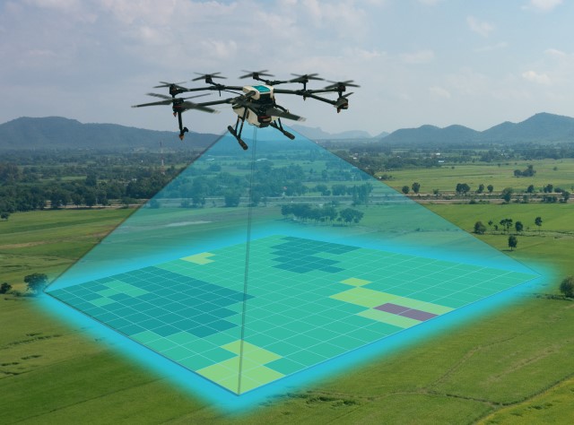
- Detailed Terrain Analysis: Drones capture high-resolution 3D models of construction sites, enabling precise assessments of land and infrastructure before work begins.
- Real-Time Progress Monitoring: Regular aerial surveys provide updates on project progress, helping managers identify delays and allocate resources more effectively.
- Site Safety Assessments: Drones can inspect hard-to-reach areas, identifying potential safety hazards and ensuring compliance with regulations.
- Material Quantification: Accurately measuring stockpiles and materials through LiDAR data helps prevent overordering and waste, enhancing budget management.
- Project Lifecycle Management: From initial surveys to final inspections, drones provide comprehensive data that supports decision-making throughout the project lifecycle.
4. Disaster Management
- Rapid Damage Assessment: After a disaster, drones can quickly survey affected areas, providing critical information to emergency responders and helping prioritize aid distribution.
- Mapping Safe Evacuation Routes: Drones can identify obstacles and hazards in real-time, guiding people to safety during emergencies.
- Infrastructure Damage Analysis: By capturing detailed imagery, drones help assess the integrity of buildings and infrastructure, aiding in recovery planning.
- Resource Allocation Planning: Data collected can inform strategies for effective resource distribution in recovery efforts, ensuring that help reaches the most affected areas promptly.
- Ongoing Monitoring: Following an event, drones can track changes in affected areas, providing data that can be used for future disaster planning and mitigation.
5. Environmental Monitoring
LiDAR drones are instrumental in tracking environmental changes, supporting sustainability and conservation initiatives.

- Ecosystem Health Monitoring: Drones can collect data on vegetation health, water levels, and biodiversity, aiding in the assessment of ecosystem stability.
- Wildlife Habitat Analysis: Detailed mapping of habitats helps researchers understand animal movements and the effects of environmental changes on species.
- Coastal and River Monitoring: Drones provide data on coastal erosion, sediment movement, and water quality, which are essential for managing aquatic environments.
- Climate Change Impact Assessment: By regularly surveying ecosystems, drones help scientists monitor the effects of climate change on various habitats and species.
- Conservation Strategy Development: The data collected can inform conservation strategies, guiding efforts to protect vulnerable species and ecosystems.
6. Forestry
In forestry, LiDAR drones support sustainable management and conservation by providing in-depth analysis of forest ecosystems.
- Forest Inventory Management: Drones can gather precise data on tree height, species distribution, and biomass, aiding in sustainable timber management practices.
- Fire Risk Assessment: By mapping vegetation density and moisture levels, drones help identify areas at risk of wildfires, enabling proactive management.
- Habitat Mapping: LiDAR data allows for the identification of critical habitats for wildlife, supporting conservation efforts and biodiversity.
- Reforestation Planning: Detailed mapping of areas for reforestation helps ensure that the right species are planted in suitable locations, promoting successful growth.
- Pest and Disease Monitoring: Drones can detect signs of pest infestations or disease in trees, allowing for timely interventions to protect forest health.
7. Infrastructure Inspections
LiDAR drones are essential for maintaining critical infrastructure, improving safety and reliability.
- Bridge and Road Condition Assessments: Regular inspections with drones provide data on structural integrity, identifying maintenance needs before they become serious problems.
- Dam Safety Monitoring: Drones can assess the condition of dams and levees, ensuring that they remain safe and functional.
- Pipeline Integrity Checks: Monitoring pipelines with LiDAR helps detect leaks and other issues, reducing environmental risks and maintaining operational efficiency.
- Power Line Surveillance: Drones provide detailed insights into power line conditions, helping utilities manage vegetation and infrastructure risks effectively.
- Railway Maintenance Planning: Drones can quickly assess track conditions, ensuring that railways are safe and operational.
8. Mining
In mining operations, LiDAR drones enhance safety and efficiency by providing accurate data on terrain and resources.
- Resource Exploration: Drones help identify mineral deposits and assess their viability, supporting informed decision-making in exploration activities.
- Site Monitoring: Regular surveys can track changes in mining sites, allowing for better resource management and environmental protection.
- Safety Assessments: By monitoring areas that may pose risks, drones enhance safety for workers and help identify potential hazards before they cause incidents.
- Stockpile Measurement: Accurate tracking of stockpile volumes ensures efficient inventory management and planning for operational needs.
- Environmental Compliance: Monitoring environmental impacts helps ensure that mining operations adhere to regulations and sustainable practices.
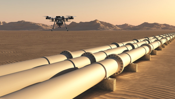
9. Pipeline Monitoring
LiDAR drones provide a crucial role in maintaining the integrity and safety of pipeline networks.
- Leak Detection: Drones can quickly identify potential leaks in pipeline systems, reducing environmental impact and ensuring safety.
- Corrosion Monitoring: Regular inspections help detect corrosion, allowing for timely maintenance and repairs.
- Environmental Impact Assessments: Monitoring surrounding areas helps assess the ecological effects of pipeline operations and informs necessary adjustments.
- Routine Inspections: Drones streamline regular inspections, ensuring that pipelines remain safe and operational without putting personnel at risk.
- Data for Regulatory Compliance: Comprehensive monitoring provides documentation needed to comply with environmental regulations.
10. Power Line Inspections
LiDAR drones are vital for ensuring the safety and reliability of power distribution systems.
- Real-Time Condition Monitoring: Drones provide continuous data on power line conditions, helping utilities manage maintenance proactively.
- Vegetation Management: Drones help identify areas where vegetation may threaten power lines, enabling timely intervention to prevent outages.
- Hazard Identification: Regular monitoring helps identify potential hazards in the vicinity of power lines, enhancing safety for both infrastructure and surrounding communities.
- Maintenance Planning: Accurate data supports efficient scheduling of maintenance work, minimizing service disruptions.
- System Reliability Assurance: Continuous monitoring ensures the integrity of power infrastructure, promoting confidence in electrical services.
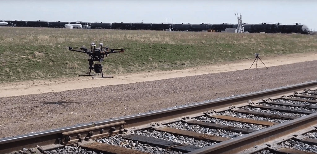
11. Railway Track Inspections
LiDAR drones are invaluable in maintaining the safety and efficiency of railway operations.
- Condition Monitoring of Tracks: Drones can assess track integrity, detecting wear and tear before it poses safety risks.
- Monitoring Vegetation Growth: Drones help manage vegetation along tracks, preventing obstructions and ensuring clear paths for trains.
- Infrastructure Assessment: Drones provide detailed data on adjacent structures, ensuring that everything remains safe and operational.
- Safety Planning: Continuous monitoring contributes to the safety of railway networks, ensuring timely interventions for any issues that arise.
- Data-Driven Decision Making: Accurate data supports informed decisions on maintenance and operational improvements.
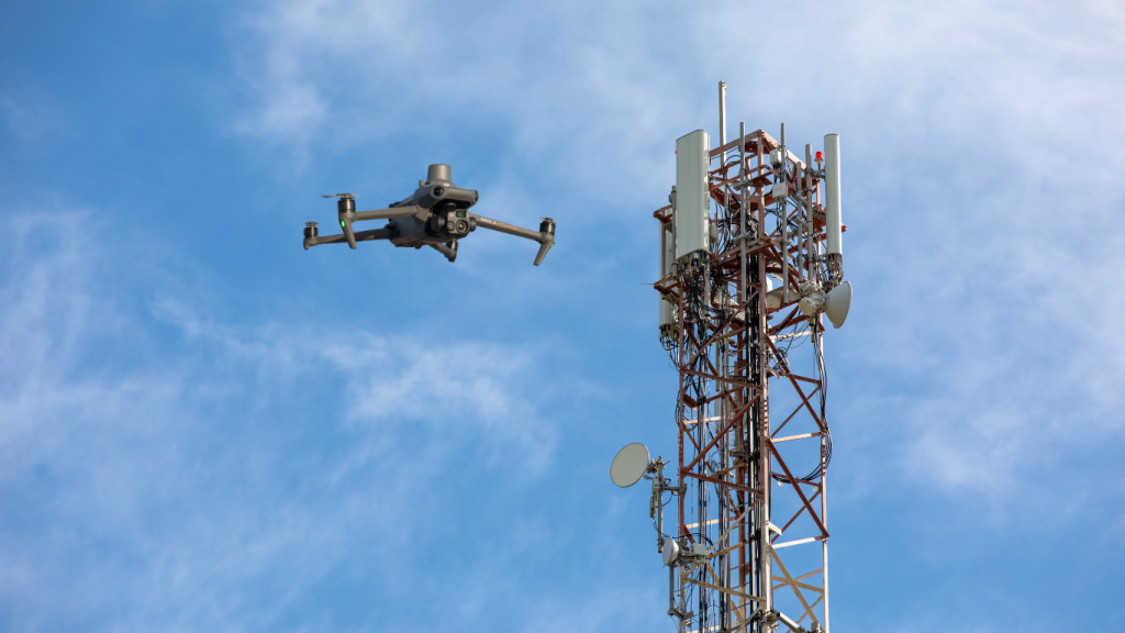
12. Telecommunications Network Planning
LiDAR drones support efficient telecommunications planning and infrastructure deployment.
- Site Selection for Towers: Drones provide precise data that helps identify optimal locations for telecommunication towers, ensuring effective coverage.
- Infrastructure Planning: High-resolution mapping aids in the design and deployment of networks, improving connectivity.
- Network Coverage Optimization: Data analysis helps ensure that telecommunications networks are efficient and meet the needs of users.
- 3D Urban Modeling: Creating accurate models of urban environments helps in planning network deployments effectively.
- Integration with Existing Infrastructure: Drones assist in evaluating how new installations will integrate with existing systems.
13. Topographic Mapping
LiDAR drones play a critical role in creating high-resolution topographic maps, which are essential for various fields including geology, civil engineering, and land-use planning.
- High-Resolution Terrain Models: Drones equipped with LiDAR technology can generate precise digital elevation models (DEMs) that provide detailed representations of the Earth’s surface, revealing subtle changes in topography.
- Flood Risk Assessment: Accurate mapping helps identify flood-prone areas, allowing for better planning and management of water resources, as well as disaster preparedness.
- Geological Mapping: LiDAR data supports geological studies by revealing landforms, rock formations, and other critical features that inform resource management and environmental assessments.
- Land Surveying: Drones enhance the efficiency and accuracy of land surveys, making it easier to gather data for real estate development, urban planning, and environmental conservation.
- Infrastructure Development: Understanding the topography is crucial for designing roads, bridges, and buildings. LiDAR drones provide the data necessary to optimize infrastructure layouts.
14. Wildlife Monitoring
LiDAR drones are invaluable for studying wildlife habitats and assessing ecosystem health.
- Habitat Mapping: Drones can map vegetation structure and density, which helps researchers understand the habitat needs of different species and monitor changes over time.
- Biodiversity Assessment: By analyzing vegetation and terrain, drones can aid in assessing the biodiversity of an area, providing insights into conservation strategies.
- Animal Population Tracking: Drones can monitor wildlife movements and population dynamics without disturbing their natural behavior, contributing to effective management practices.
- Habitat Quality Evaluation: LiDAR data allows for the assessment of habitat quality, identifying areas that may require conservation efforts or restoration.
- Conservation Planning: The insights gained from LiDAR drones support conservation initiatives by helping stakeholders make informed decisions about habitat protection and resource allocation.
15. Accident Scene Mapping and Reconstruction
LiDAR drones are increasingly being used in public safety and accident investigation, providing a reliable method for mapping and analyzing accident scenes with precision.
- Accurate 3D Modeling: Drones equipped with LiDAR can create detailed three-dimensional models of accident sites. By capturing precise measurements of the environment, these models help investigators visualize the scene accurately.
- Timely Assessments: Unlike traditional methods, which often require extensive time on-site, LiDAR drones can quickly survey large areas. This speed is crucial when traffic needs to be cleared or when time-sensitive evidence must be documented.
- Data Collection Regardless of Light Conditions: LiDAR technology is not dependent on natural light, allowing for effective data collection even in low-light conditions. This capability enables investigations to proceed at any time, day or night.
- Evidence Documentation: The high-resolution data captured can be used as vital evidence in court cases. Precise measurements of vehicle positions, road conditions, and environmental factors provide critical context for legal proceedings.
- Enhanced Safety for Personnel: By utilizing drones for accident reconstruction, investigators can minimize the risk to human personnel, especially in hazardous environments. This practice ensures that safety is prioritized while maintaining thorough investigative processes.
Maximizing Return on Investment (ROI) with LiDAR Drones
Project Scale and Frequency: When investing in a drone with LiDAR, consider how often you’ll use it. Frequent, large-scale projects, like surveying construction sites, make the investment worthwhile. For example, if a traditional survey takes two weeks and a LiDAR drone can do it in three days, you save significant time and costs.
Project Type | Traditional Duration | With LiDAR Drone Duration |
Construction Site Survey | 2 weeks | 3 days |
Agricultural Field Mapping | 10 days | 2 days |
Forestry Land Monitoring | 15 days | 5 days |
Data Value and Cost-Saving Insights: The accurate data from drones with LiDAR improves decision-making. Early detection of issues can prevent costly fixes, making it essential for project success.
Cost Considerations for Drone LiDAR Mapping
Drone Type | Cost | Best For |
Entry-Level LiDAR | $3,000 – $8,000 | Small to medium surveys |
Mid-Range LiDAR | $10,000 – $30,000 | Agricultural mapping, Construction |
High-End LiDAR | $40,000+ | Large-scale projects |
Software and Data Processing: Selecting the right software for processing LiDAR data is crucial. While some software is free, advanced tools may have costs that add up. Make sure the software meets your project needs for effective data handling.
Operational Costs and Maintenance: Consider pilot expenses, logistics, and maintenance. Trained pilots are necessary for safe operation, and regular drone maintenance is essential to avoid breakdowns. Maintenance costs can range from 10% to 20% of the initial hardware cost annually.
By evaluating project frequency, costs for hardware and software, and operational expenses, you can ensure that investing in LiDAR drones is beneficial. They offer a faster, more accurate solution compared to traditional methods, maximizing efficiency and data quality.
How to Choose the Right Drone and Sensor for LiDAR Mapping
Key Factors in Drone Selection
- Terrain: The type of land you plan to survey greatly affects your drone choice. For example, if you’re working in rugged, hilly areas, a multirotor drone might be better because it can hover and maneuver easily. On the other hand, if you’re covering large, flat areas, a fixed-wing drone can fly farther and faster.
- Flight Duration: Consider how long you need the drone to fly. Multirotor drones usually have shorter flight times because they use more power to hover. Fixed-wing drones can fly longer distances on less energy, making them suitable for extensive surveys.
- Altitude: The altitude at which the drone will fly is important too. Higher altitudes provide a wider view, but they might reduce the detail of your LiDAR data. You need to find a balance that gives you enough coverage while keeping detail in mind.
- Payload Capacity: This is the weight the drone can carry. Your LiDAR sensor will add weight, so it’s vital to choose a drone that can handle the combined weight of the LiDAR system and any other equipment, like cameras or batteries.
- Battery Life and Efficiency: Look for drones that have long battery life to ensure you can complete your surveying tasks without interruptions. Efficient drones can save you time and money, especially on larger projects.
Drone Platforms for LiDAR
When choosing a drone, you often decide between multirotor drones and fixed-wing drones. Here’s a quick comparison of their pros and cons:
Feature | Multirotor Drones | Fixed-Wing Drones |
Flight Duration | Shorter flight times (20-40 minutes) | Longer flight times (up to several hours) |
Maneuverability | Excellent for small, complex areas | Best for large, open areas |
Payload Capacity | Limited due to weight restrictions | Higher payload capacity, can carry heavier sensors |
Data Resolution | High detail in small areas | Good overall coverage, less detail per area |
Ease of Use | Simple to operate and suitable for beginners | More complex; requires training |
Training, Licensing, and Regulatory Costs for LiDAR Drones
Using drones with LiDAR means you must follow specific regulations and guidelines. Here’s what you need to know.
Certifications and Permits
Before you fly, you need to get the right licenses and permits. For commercial operations, such as aerial surveying, you typically need a Part 107 certification in the United States and similarly each and every country has different rule regarding drones, it is recommended to check for each country’s official civil aviation authority online. This certification ensures that you understand the rules and safety measures necessary for flying drones.
Additionally, depending on where you operate, you may need permits for specific locations. Always check with local authorities to ensure you’re compliant.
Insurance
Insuring your drone and LiDAR equipment is a smart move. Accidents can happen, and having insurance protects you from unexpected costs. It’s also important for building trust with clients, as they know you have safety measures in place.
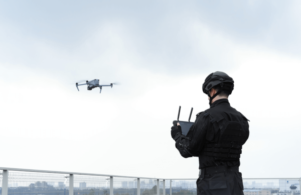
Operational Guidelines for Drone LiDAR Missions
To get the most out of your LiDAR drone, it’s essential to have a clear plan for your missions. Here are some key guidelines.
Pre-Flight Planning and Certification
Make sure you’re prepared before taking off. This includes checking airspace regulations, weather conditions, and ensuring all necessary certifications are up to date. Planning your flight path carefully will help you gather the most accurate data.
Calibration, Settings, and Optimization
Before you start collecting data, calibrate your LiDAR system. This means adjusting it based on the conditions you’ll be flying in, such as weather or terrain. Proper calibration helps ensure that the data you collect is accurate.
Data Processing Workflow
Once you’ve collected your data, you’ll need specialized software to process it. Software like DJI Terra is designed to convert LiDAR data into usable 3D models. This process involves cleaning the data and ensuring everything is accurate for analysis.
LiDAR Drones in the Future of Geospatial Mapping
Increasing Applications Across Industries
LiDAR technology is becoming more popular in different sectors, such as agriculture, construction, and environmental monitoring. Businesses are discovering how effective these drones can be for tasks like mapping, inspecting infrastructure, and tracking changes in the environment.
Technological Advancements
With technology constantly improving, we can expect even more innovations in LiDAR for drones. Future developments may lead to lighter, more efficient sensors and enhanced software capabilities that make data collection faster and more precise.
Conclusion: The Future of LiDAR Drones in Mapping and Surveying
LiDAR drones are becoming essential tools in mapping and surveying. Here’s a quick recap of their advantages:
- Accuracy: They provide highly precise data for various applications.
- Efficiency: Data collection is quicker and can cover larger areas than traditional methods.
- Versatility: They can be used across multiple industries for different tasks.
Investing in drones with LiDAR technology is not just about keeping up with trends; it’s about revolutionizing how data is collected and analyzed. As more businesses embrace this technology, they will benefit from better decision-making, efficiency, and innovation.
FAQs for LiDAR Drones and Cameras
What is LiDAR technology in drones?
LiDAR (Light Detection and Ranging) technology in drones uses laser pulses to measure distances between the drone and the surface. These pulses create highly accurate 3D maps, making LiDAR-equipped drones ideal for surveying, mapping, and terrain analysis.How does a LiDAR drone work?
A LiDAR drone emits laser pulses that bounce off objects and return to the sensor. By calculating the time it takes for each pulse to return, the system generates a point cloud that forms a 3D model of the surveyed area, helping in detailed topographical mapping.Which industries benefit most from LiDAR drones?
LiDAR drones are widely used in industries like construction, forestry, mining, urban planning, agriculture, and environmental monitoring. These industries benefit from precise 3D mapping, terrain analysis, and accurate spatial data collection.What is the range of a LiDAR-equipped drone?
The range of a LiDAR drone varies by model and system. Typically, LiDAR systems on drones can range from a few hundred meters to several kilometers, depending on the LiDAR sensor’s power and the drone’s altitude.How accurate are LiDAR drones?
LiDAR drones are known for their high precision, with horizontal accuracies reaching up to 5 cm and vertical accuracies around 4 cm. The accuracy depends on the LiDAR system used, flight altitude, and environmental factors like vegetation.How does LiDAR compare to photogrammetry for mapping?
LiDAR provides better results in areas with dense vegetation or poor lighting, as it can penetrate obstacles like tree canopies. Photogrammetry, on the other hand, is ideal for large, open areas where visual details are more important. Both have their own use cases based on the environment.Can a drone carry multiple sensors including LiDAR?
Yes, many drones can carry multiple sensors like LiDAR, RGB cameras, and thermal sensors. This multi-sensor approach enhances data collection by providing a more comprehensive analysis of the surveyed area.What are the main drones compatible with LiDAR sensors?
DJI drones like the Matrice 300 RTK, Matrice 350 RTK, and Matrice 600 Pro are popular for carrying LiDAR sensors. Autel’s EVO Max and Dragonfish series also support third-party LiDAR integration.What are the typical applications for LiDAR drones in agriculture?
In agriculture, LiDAR drones are used for terrain mapping, soil analysis, crop monitoring, and irrigation planning. They help farmers optimize land use, assess crop health, and manage water resources efficiently.How much does a LiDAR drone system cost?
The cost of a LiDAR drone system varies widely based on the drone model and LiDAR sensor. Entry-level systems may start around $10,000, while high-end systems can exceed $100,000, depending on the features and specifications.