Brief questions. Practical guidance. Get an indicative estimate instantly, and we only proceed to a formal quote once the basics are clear.
Advisor mode: this form will recommend the lowest resolution and type that fits your objective so you do not overpay.
Step 1 — Area & Location
1 / 4
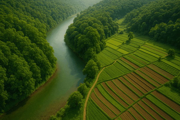
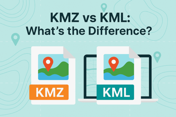
Start simple: Upload a KML/KMZ/ZIP if you have it. If not, a bounding box or center plus dimensions works fine. We will calculate area for you where possible.
Upload AOI file (KML / KMZ / ZIP) — recommended
Preferred: a single polygon AOI. We compute the area automatically.
Enter corner coordinates (bounding box)
Use min/max latitude and longitude.
Enter center coordinate + width & height
Good for quick feasibility when exact boundaries are not available.
Describe location (city / region / site name)
We will follow up to confirm an AOI boundary if needed.
Max 10MB. If you have multiple polygons, zip them.
Leave blank if unknown, we will calculate from the file.
We will compute an approximate rectangular area for estimating. Upload a polygon AOI for precise pricing.
Yields an estimated rectangular area (Width x Height). Upload AOI for exact boundaries.
Give your best area estimate. We will help refine boundaries later.
Advisor note: If speed is the priority, we usually check archive first. If you need a specific date window or fresh capture, choose new tasking.
Archive imagery
Previously captured imagery, typically faster delivery.
New capture (tasking)
Satellite is tasked for your AOI; weather and availability can affect capture date.
Not sure, advise me
We will recommend the most feasible option based on area, timing, and objective.
Minimum order guidance
Archive imagery: typically 15 to 25 km²
New capture: typically 50 to 100 km² Feasibility depends on satellite, location, and timing.
Pick a date window. We will advise what is realistic for your area and cloud conditions.
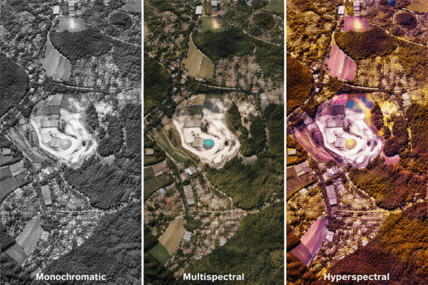
Resolution guidance: Higher resolution increases detail and cost. We will recommend the lowest resolution that meets your objective.
I know what I need
Select 30cm, 50cm, 75cm, or 1m.
Advise me based on my objective
Answer a quick question about what you need to see.
If you have a strict requirement such as tender specs, pick it here. Otherwise Advise me typically yields a more cost-efficient recommendation.
Individual vehicles, containers, small structures
Cars/trucks, site equipment, temporary objects — typically 30cm
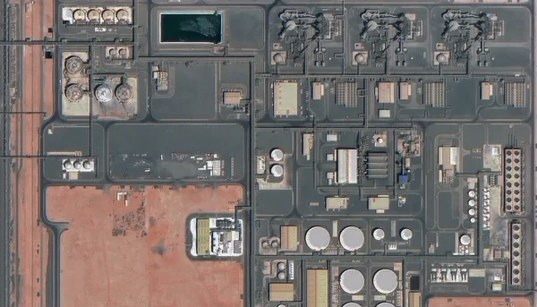
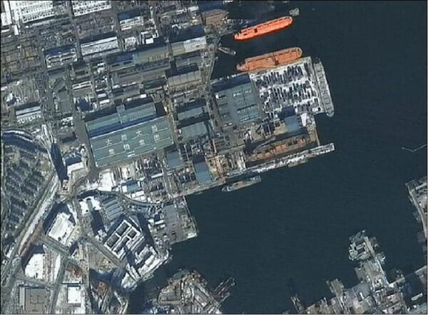
Building footprints, roof detail, facility layout
Compounds, ports, substations — typically 30 to 50cm
Roads, pipelines, corridors, industrial assets
Linear infrastructure mapping — typically 50 to 75cm
Detect changes over time
Progress, damage, expansion — typically 30 to 75cm depending on target size
AI / ML training or automated extraction
Object detection and segmentation — typically 30 to 50cm with consistent revisit
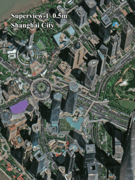
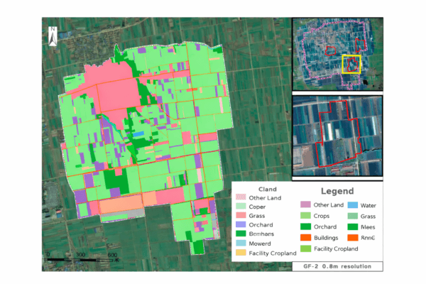
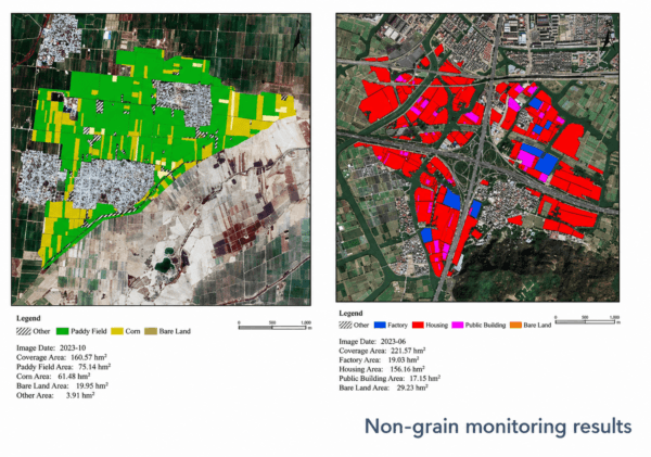
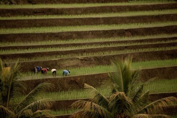
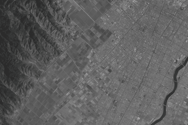
Large-area mapping or regional monitoring
Land use, urban growth, environment — typically 75cm to 1m
Recommendation:Select at least one objective to get a recommendation.
Almost done. You will see an indicative estimate. If you agree, we will run feasibility and send a formal quote.
I understand this is an indicative estimate and request feasibility and a formal quote.
We handle requests confidentially. No data is shared with third parties.
Protected by spam filter and bot detection. Genuine enquiries only.
Live Summary
Updates as you answer
Area (km²)—
AOI method—
Coordinates / Location—
Imagery type—
Date range—
Resolution—
Indicative Estimate
Based on XRTech published pricing. Final price confirmed after feasibility check.
—
Complete Steps 1 to 3 to see an estimate.
Once you submit, XRTech will:
Archive: run a coverage check in your date range
Tasking: confirm window and issue order form or invoice
✓
Quote Request Sent
Your satellite imagery request has been sent to admin@xrtechgroup.com. XRTech will review feasibility and send a formal quote within 24 hours. A free sample tile for your AOI is included in the quote response.