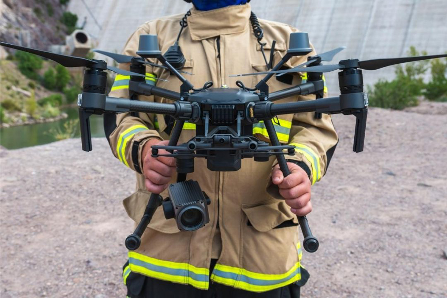
XRT Battery Swap Dock for DJI Matrice 30 Series

XRT Battery Swap Dock for DJI Matrice 30 Series

XRT Battery Swap Dock for DJI Matrice 30 Series is designed to support DJI Matrice 30 Series Drones, which are DJI Matrice 30 & DJI Matrice 30T. Paired with the XRT Cloud Box M2, it enables 5G connectivity, remote control, real-time data transmission, and multi-point hopping.

Highlights:

Compatibility of DJI Matrice 30/T Drones (DJI Matrice 30 Series)

Dimensions of 1810x920x850 mm (LxWxH) (Opened) Dimensions of 1000x920x850 mm (LxWxH) (Closed)

Area Covered of 15 Km

Supports XRT Cloud Box M2

Landing Accuracy of ±0.05m (Nighttime Fill Light)

The dock is equipped with a specialized nighttime fill light that enhances the landing zone’s illumination, allowing the drone to detect and align with the dock precisely. This feature minimizes the risk of misalignment or damage during landing, ensuring safe and reliable battery swaps even in low-light conditions.

Battery Swapping Time of 3 Minutes

The rapid turnaround minimizes downtime, allowing drones to quickly return to the sky and continue their missions without significant delays. Whether in critical operations or routine tasks, the swift battery swapping time ensures uninterrupted performance, enhancing overall productivity and mission success.

Surrounding Tracking of External & Internal Video, Heat Index, Snow & Rainfall, & Wind

The comprehensive environmental awareness allows for real-time adjustments and ensures that the dock operates optimally under varying weather conditions.

Applications

Firefighting

Combat fires and rescue lives while ensuring the safety of personnel.
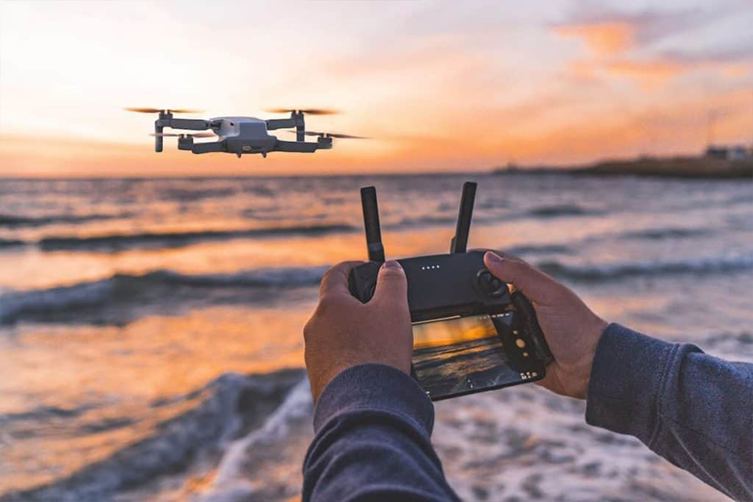
Find & Save

Respond swiftly to find missing individuals and improve rescue mission planning.
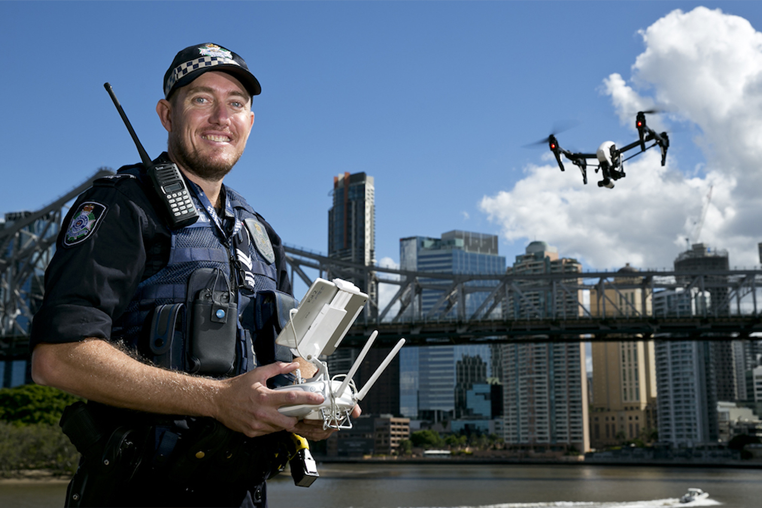
Law Enforcement

Rapidly evaluate an event and plan effectively to enhance the safety of officers and bystanders.

drone for commercial uses

Powerline Examination

Effortlessly visualize vast power line networks in remote domains.
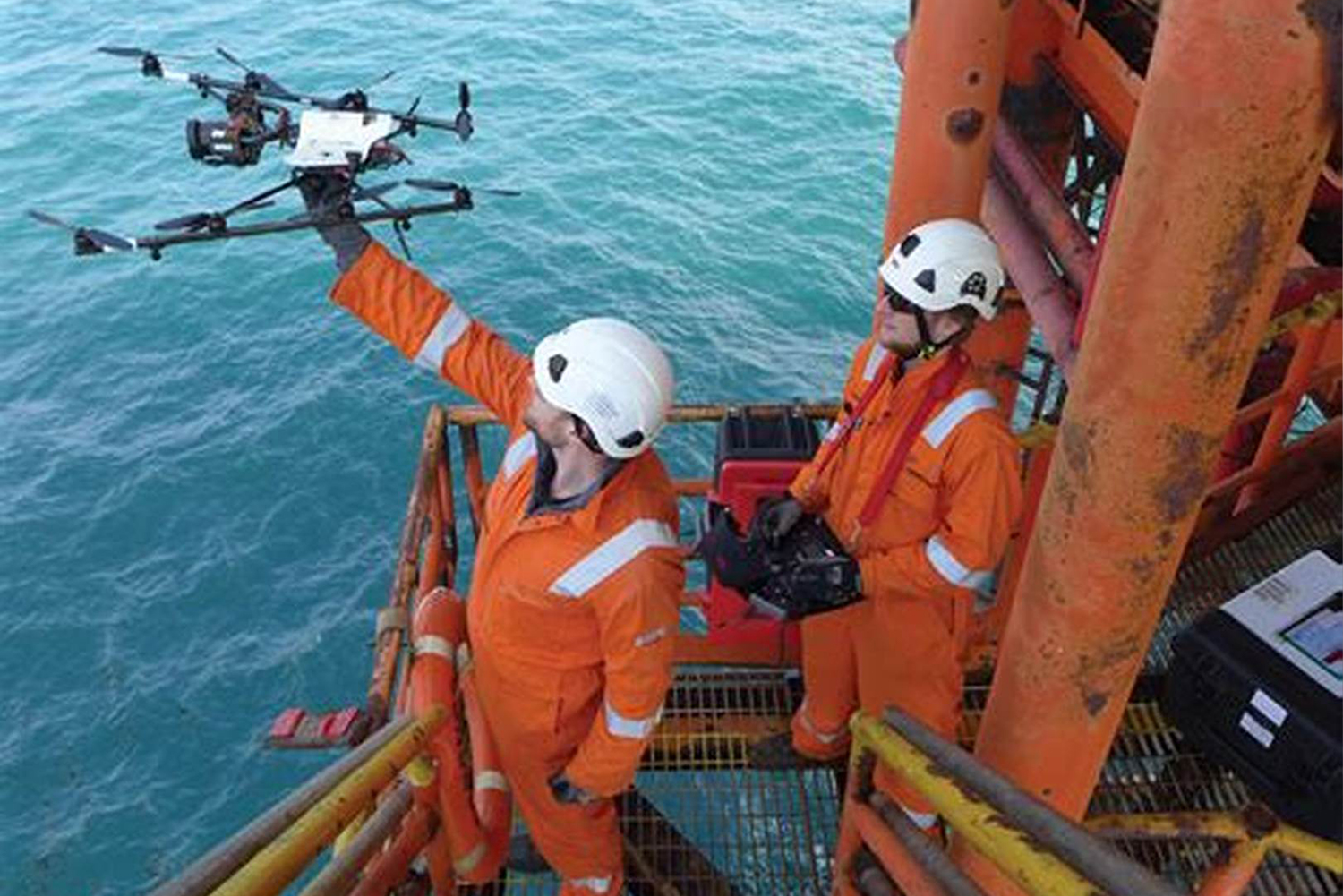
Oil & Gas

Inspect pipelines, well sites, and more while keeping workers out of hazardous areas.
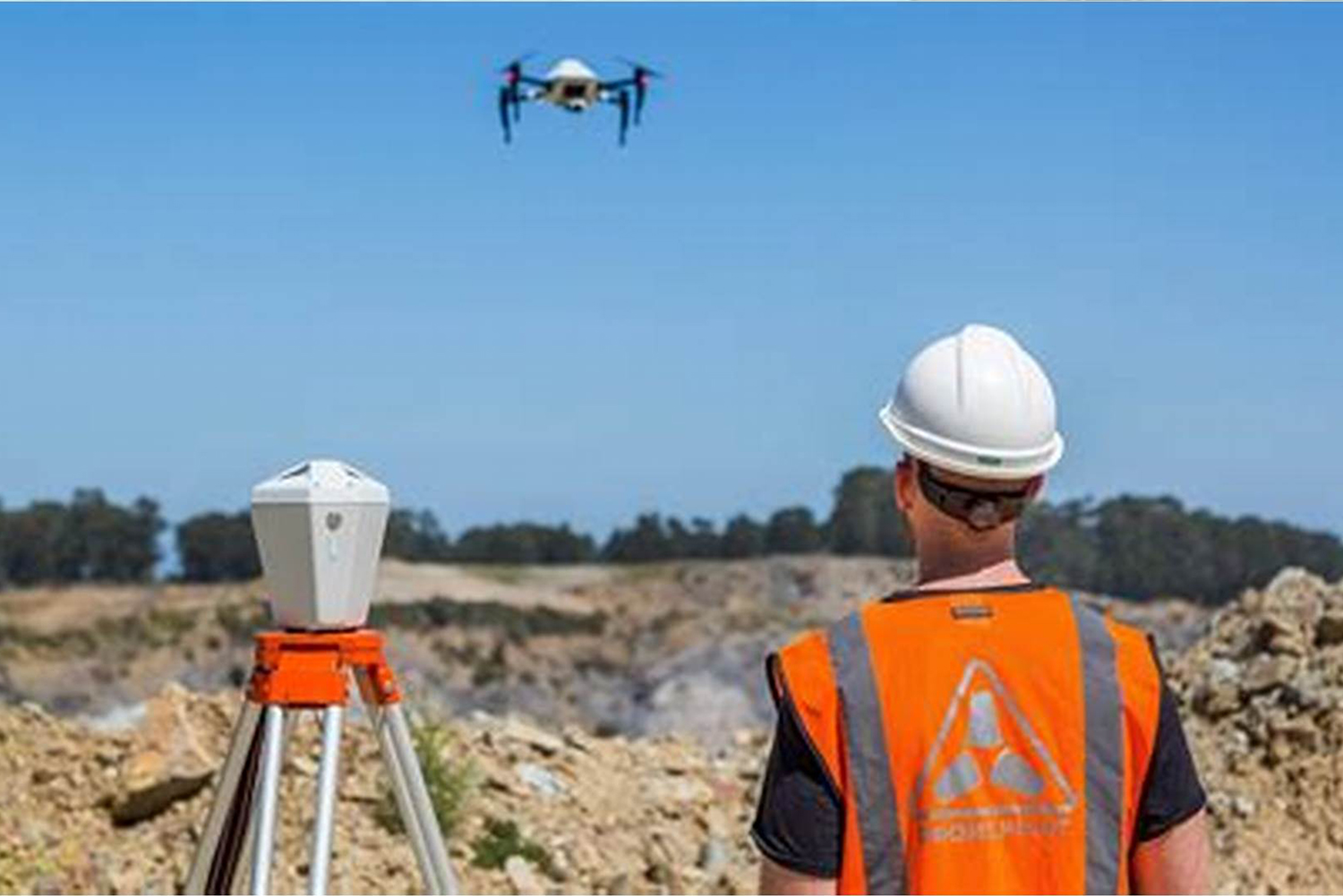
Geomatics

Modernize the examining processes to enhance efficiency in data acquisition and study.

How to Use

Battery swap dock for DJI M30 series, take off again in 3min, real-time feed & control

Notes

1. Delivery time of 3 weeks.

2. Available Configurations:

i) Box + Installation + Delivery

ii) Box + Spare Parts + Installation + Delivery

iii) Box + Spare Parts + Fire Extinguisher +  Installation + Delivery + 2x Maintenance  Visits

3. Client will be responsible for customs and any import related charges.

Request Product Details

Satellite Imagery Advisor

Brief questions. Practical guidance. Get an indicative estimate instantly, and we only proceed to a formal quote once the basics are clear.

Advisor mode: this form will recommend the lowest resolution and type that fits your objective so you do not overpay.
Step 1 — Area & Location
1 / 4
Start simple: Upload a KML/KMZ/ZIP if you have it. If not, a bounding box or center plus dimensions works fine. We will calculate area for you where possible.
Upload AOI file (KML / KMZ / ZIP) — recommended
Preferred: a single polygon AOI. We compute the area automatically.
Enter corner coordinates (bounding box)
Use min/max latitude and longitude.
Enter center coordinate + width & height
Good for quick feasibility when exact boundaries are not available.
Describe location (city / region / site name)
We will follow up to confirm an AOI boundary if needed.
Advisor note: If speed is the priority, we usually check archive first. If you need a specific date window or fresh capture, choose new tasking.
Archive imagery
Previously captured imagery, typically faster delivery.
New capture (tasking)
Satellite is tasked for your AOI; weather and availability can affect capture date.
Not sure, advise me
We will recommend the most feasible option based on area, timing, and objective.
Minimum order guidance
Archive imagery: typically 15 to 25 km²
New capture: typically 50 to 100 km²
Feasibility depends on satellite, location, and timing.
Pick a date window. We will advise what is realistic for your area and cloud conditions.
Resolution guidance: Higher resolution increases detail and cost. We will recommend the lowest resolution that meets your objective.
I know what I need
Select 30cm, 50cm, 75cm, or 1m.
Advise me based on my objective
Answer a quick question about what you need to see.
Almost done. You will see an indicative estimate. If you agree, we will run feasibility and send a formal quote.
I understand this is an indicative estimate and request feasibility and a formal quote.
We handle requests confidentially. No data is shared with third parties.
Protected by spam filter and bot detection. Genuine enquiries only.
Live Summary
Updates as you answer
Area (km²)
AOI method
Coordinates / Location
Imagery type
Date range
Resolution

Indicative Estimate

Based on XRTech published pricing. Final price confirmed after feasibility check.
Complete Steps 1 to 3 to see an estimate.
Once you submit, XRTech will:
  • Archive: run a coverage check in your date range
  • Tasking: confirm window and issue order form or invoice

Quote Request Sent

Your satellite imagery request has been sent to admin@xrtechgroup.com. XRTech will review feasibility and send a formal quote within 24 hours. A free sample tile for your AOI is included in the quote response.