The mining industry is going through a major transformation, and much of that progress is due to the advances in satellite imagery & data. Satellite mining, powered by high-speed satellites orbiting Earth, is giving mining operators a new way to explore, monitor, and manage mining projects from space.
The ability to access accurate and up-to-date satellite imagery & data is not only helping companies improve productivity, but it also allows for smarter planning, safer operations, and a deeper understanding of the planet’s mineral landscape.
In 2026, satellite imagery is more powerful and precise than ever. With advances in satellite speed, resolution, and data analytics, the mining industry is using this technology for tasks that were once time-consuming, expensive, or even dangerous.
Whether it’s mapping minerals or ensuring environmental safety, satellite technology is reshaping every stage of the mining lifecycle.
This blog explores 10 powerful ways satellite imagery is transforming the mining industry today.
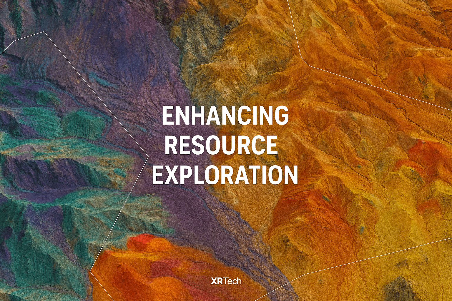
1. Enhancing Resource Exploration with Satellite Mining
Satellite mining imagery has revolutionized the search for mineral deposits. By analyzing the spectral signatures unique to each mineral, satellites imagery for mining can identify potential exploration sites without ground intervention. These spectral signatures, reflecting and absorbing solar radiation in distinct patterns, are detectable by satellites equipped with advanced sensors.
Through sophisticated mineral mapping, analysts can pinpoint rock formations likely to contain valuable materials such as gold, copper, or iron. Mining satellites also detect subtle geological patterns or surface anomalies indicative of underground resources, expediting exploration and reducing costs by focusing fieldwork on high-potential areas.
Integrating satellite imagery for mining with existing geological surveys produces comprehensive mineral maps, aiding decision-makers in planning drilling activities, analyzing mineral density, and locating untapped reserves. This approach enhances efficiency and accuracy, even in the most remote locations.
2. Creating Accurate Mineral Maps with Advanced Satellite Imaging
Modern mining satellites are equipped with multispectral and hyperspectral sensors, providing detailed satellite imagery of Earth’s surface across various wavelengths. These sensors capture data beyond the visible spectrum, crucial for mineral mapping.
By examining how surfaces reflect light across different wavelengths, satellite imagery reveals hidden information about rock composition, moisture content, and mineral presence. This non-intrusive method is particularly valuable in areas with complex terrain or dense vegetation, generating mineral maps that indicate the location and distribution of minerals like oxides, clay, or rare earth metals.
These mineral maps support informed land-use planning and resource allocation, ensuring mining projects target appropriate zones. Since the data is collected remotely, initial exploration phases pose no risk to human teams or the environment.
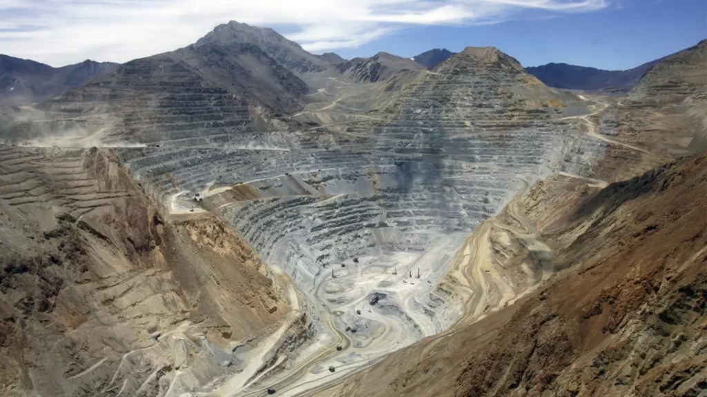
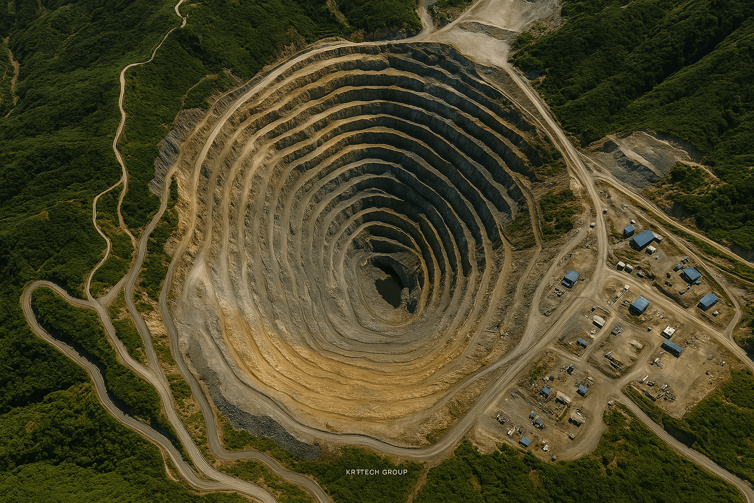
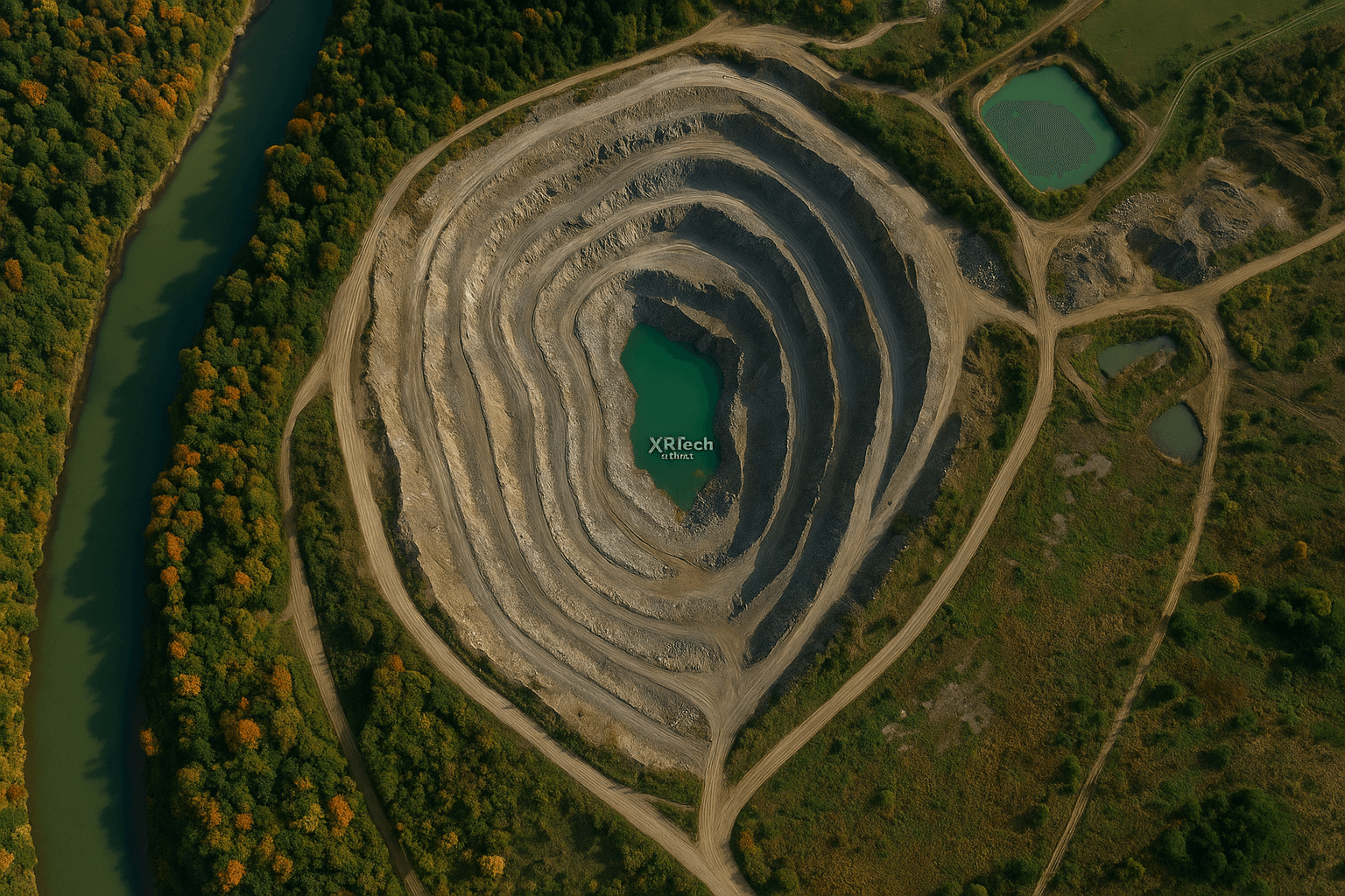
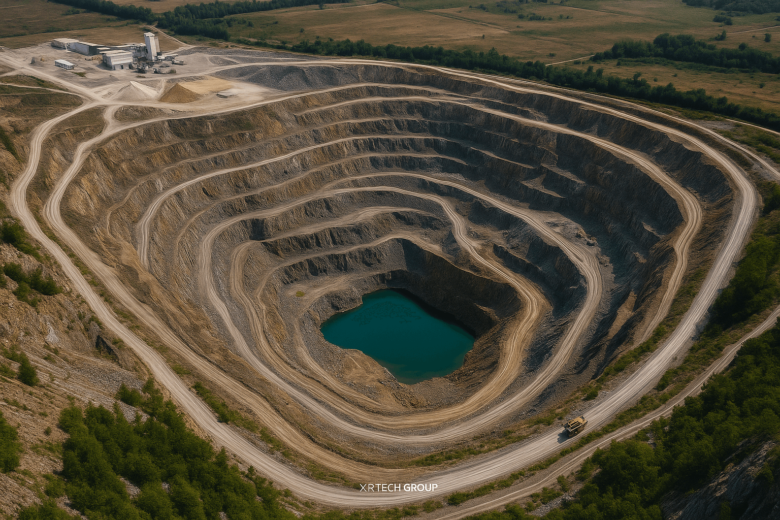
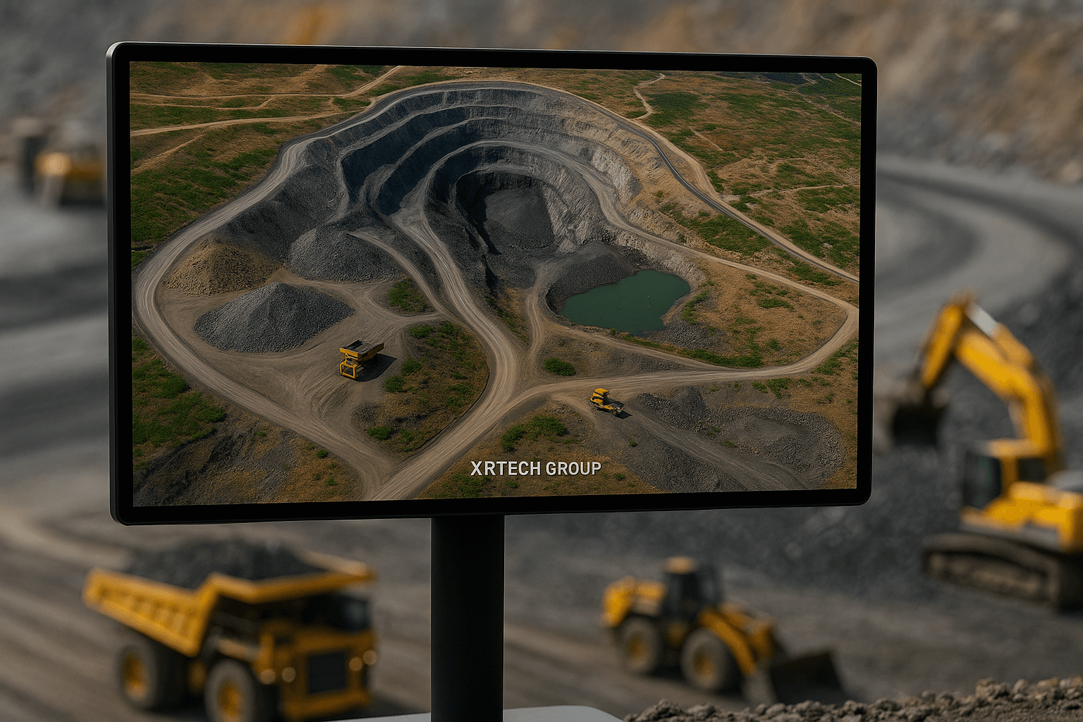
3. Monitoring Mine Sites with High-Resolution Satellite Imagery
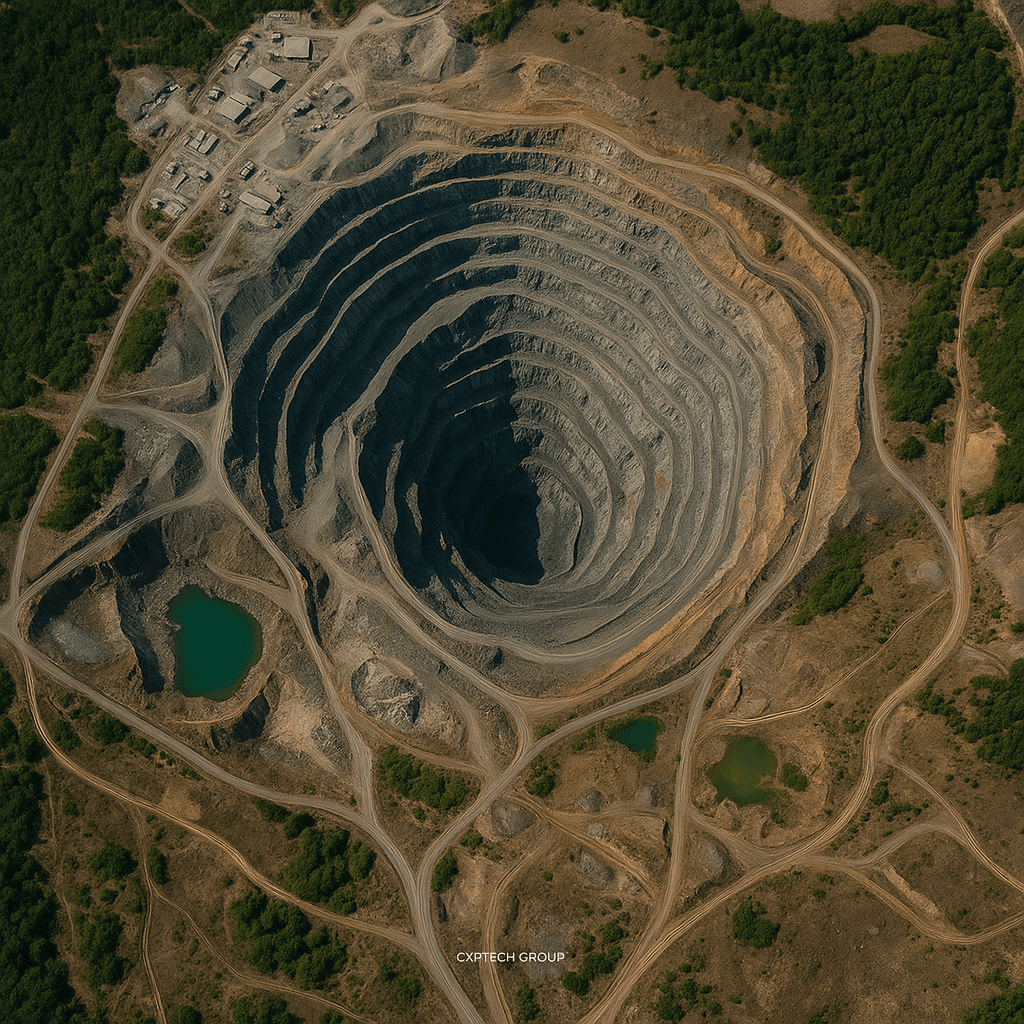
Monitoring active mine sites is essential, and satellites simplify this process. High-resolution satellite images from mining satellites allow managers to observe daily changes in topography, structure, and surface activity.
Utilizing historical satellite imagery enables tracking of long-term landscape changes. Mine operators use this information to detect surface shifts, manage construction, and assess site development progress. Sudden changes can indicate risks like landslides or equipment malfunctions, prompting swift action to prevent disruptions.
Satellite imagery also tracks stockpiles, measures pit depth, and verifies that operations remain within permitted boundaries, supporting compliance with local regulations and enhancing transparency with stakeholders.
4. Improving Safety with Satellite-Based Monitoring
Satellite mining imagery and satellite technology significantly contributes to safety efforts. Satellite imagery can detect early signs of slope instability, ground movement, and potential hazards. These issues, if unaddressed, can lead to serious accidents.
Radar-based data from satellites for mining like XRTech Group’s GF-3 SAR enables analysts to monitor surface deformation at a millimeter scale, particularly beneficial for open-pit mines where terrain shifts pose higher risks. The objective is to protect workers and minimize downtime.
Integrating these mining satellite imagery insights with on-the-ground sensors creates a robust safety network. Real-time alerts generated from satellite data indicating danger signs allow teams to respond promptly, preventing harm.
5. Supporting Environmental Monitoring and Compliance
Environmental considerations are integral to modern mining, and satellites assist companies in responsible environmental stewardship. Mining satellite imagery monitors land degradation, water pollution, and vegetation health around mining areas.
This information is vital for identifying sources of acid mine drainage, soil erosion, or deforestation. Continuous satellite monitoring enables mining companies to detect and address these issues promptly, reducing their environmental impact.
Satellite imagery for mining also plays a role in reclamation efforts. Post-closure, satellite data monitors revegetation, soil restoration, and wildlife return. Remote monitoring aids companies in meeting sustainability goals and complying with environmental regulations.
6. Speeding Up Mine Planning and Design
Planning mining operations is complex, but satellite mining imagery simplifies and enhances precision. Satellite images map terrain, elevation, and infrastructure, providing engineers with a comprehensive land overview before initiating ground activities.
Accurate maps from mining satellites imagery enable planners to select optimal access routes, avoid flood zones, and identify stable ground for facility construction, leading to safer construction and cost reduction. In many instances, satellite imagery replaces the need for expensive aerial surveys or manual inspections.
Mining Site planning also benefits from historical mining satellite imagery records, allowing planners to study location changes over time, useful in anticipating challenges like seasonal flooding or ground shifts.
7. Optimizing Logistics and Infrastructure Management
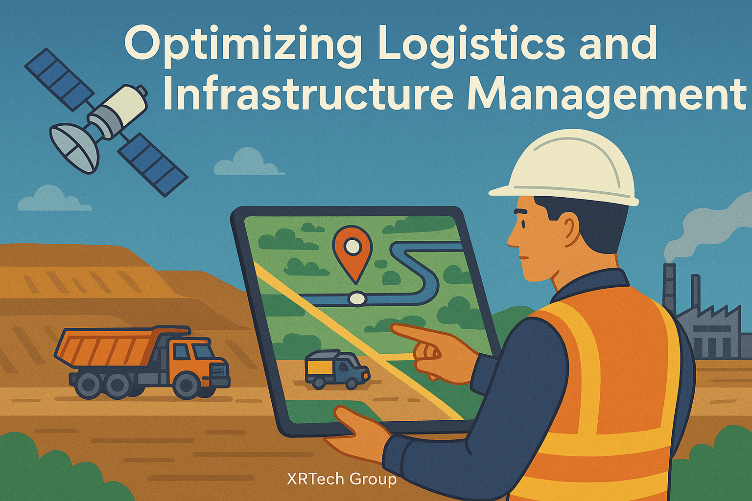
Efficient transport and logistics are crucial in mining, especially in remote areas. Satellite mining imagery and technology aid in managing infrastructure such as roads, pipelines, and processing plants.
Satellite imagery for mining enables real-time planning and monitoring of transportation networks. If a road is obstructed due to weather or landslides, satellite data assists in immediate shipment rerouting, ensuring smoother operations and improved team communication.
Satellite imagery for mining also tracks vehicle movement and equipment locations, reducing downtime and theft risk. Overlaying GPS data with satellite images provides operators with a clear view of vehicle efficiency and fuel usage.
8. Tracking Mineral Extraction and Production
Satellite imagery for mining offers an intelligent method of mining to monitor material extraction and processing over time. By analyzing satellite images to measure excavation size changes, mine operators estimate production levels without on-site presence.
Remote sensing for mining facilitates monitoring of stockpiles and ore movement, enabling teams to make data-driven decisions. This supports production forecasting and early detection of output irregularities.
Advanced satellite imagery analytics can also predict when a site approaches the end of its productive life, allowing managers to schedule equipment relocation and initiate remediation planning timely, avoiding delays.
9. Enabling Sustainable Land Use After Mining
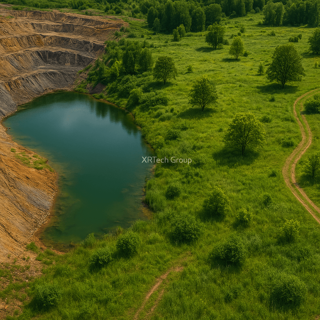
Post-mining, land must be restored to a usable and safe condition. Satellite mining imagery is instrumental in this phase, monitoring post-mining land for environmental recovery signs and future use suitability.
Satellite mineral mapping assesses soil quality and vegetation growth in reclaimed areas, informing decisions on land use for farming, conservation, or development.
Continuous observation from mining satellites ensures former mine sites do not become pollution sources. If acid drainage or erosion is detected, corrective measures can be swiftly implemented to protect the ecosystem.
10. Improving Decision-Making with Real-Time Satellite Data
In the digital era, satellite imagery for mining speed has significantly improved. Satellites in low Earth orbit travel at approximately 7.8 km per second, completing an orbit in about 90 minutes, allowing multiple daily revisits to the same location.
This high revisit rate ensures mining satellite data is often available in near real-time, enabling decisions that once took weeks to be made within hours. Whether reacting to weather changes, managing safety risks, or updating stakeholders, rapid satellite access provides teams with a substantial advantage.
Advancements in cloud platforms and AI have also simplified satellite data analysis, supporting smarter, faster decisions across the mining value chain.
Use of Satellite Remote Sensing in the Mining Industry
Satellite remote sensing has become a vital tool in the mining industry. With wide-area monitoring and the ability to accurately identify surface features, this technology helps detect mineral deposits and track environmental changes caused by mining. Its growing use is transforming how mining companies plan, operate, and manage resources around the world.
From early-stage exploration to environmental monitoring, remote sensing in mining offers powerful insights. Mining companies now rely on satellite imagery to improve efficiency, reduce risk, and ensure compliance with environmental regulations.
How Is Remote Sensing Used in the Mining Industry?
Satellite remote sensing plays a key role throughout every stage of a mine’s lifecycle—from exploration and development to production and rehabilitation.
1. Mineral Exploration and Prospecting
In the early stages, satellite imagery for mining supports the discovery of new mineral deposits. It helps geologists identify geological formations, outcrops, and weathered rock surfaces that may indicate the presence of valuable minerals. These images can also show man-made structures like roads, fences, and trails—vital for mapping access routes to exploration areas.
The satellite imagery helps create accurate land cover maps, making it easier to plan projects and evaluate the environmental impact before starting large-scale operations.
2. Exploring Remote Areas
In places where on-the-ground access is difficult—such as remote parts of Europe, Asia, or Africa—satellite remote sensing in mining industry helps locate potential mineral deposits without costly fieldwork. Mining teams can focus their ground operations more effectively, reducing time and expense.
3. Monitoring Active Mine Sites
During extraction, satellites provide ongoing data to track changes in open-pit mines. For example, synthetic aperture radar (SAR) imagery from satellites like GF-3 helps monitor slope stability and structural changes in mine areas. This helps prevent accidents by detecting hazards early and allowing mine operators to take timely safety measures.
4. Environmental Monitoring and Mine Rehabilitation
After mining, the focus shifts to land restoration, known as renaturation. Multispectral satellite images are used to monitor vegetation health and detect acid mine drainage, a common issue in coal and iron ore mines. These images help assess how well post-mining areas are recovering and guide better rehabilitation efforts.
The high spatial and temporal resolution of satellite data enables detailed tracking of land conditions, making satellite monitoring in mining a valuable tool for ensuring that reclaimed lands are safe for farming or other uses.
How Satellite Imagery Helps Map Mineral Deposits
One of the most powerful uses of remote sensing in mining is detecting the location of mineral deposits using spectral signatures.
Each mineral on Earth—among the more than 4,000 known—has a unique spectral signature, similar to a fingerprint. These signatures are based on how minerals reflect, absorb, and scatter sunlight due to their chemical structure. Satellites can detect these subtle differences in the infrared and short-wave parts of the electromagnetic spectrum, far beyond what the human eye can see.
Key Benefits of Spectral Mapping:
- Identifies the chemical composition of rocks and soils
- Detects specific minerals like clay, oxides, or carbonates
- Helps locate areas with high mineral potential
- Supports thematic mapping of surface features and soil types
By analyzing satellite images in multiple spectral bands, mining companies can create detailed maps showing mineral content, vegetation stress, and geological structures—without setting foot on the ground.
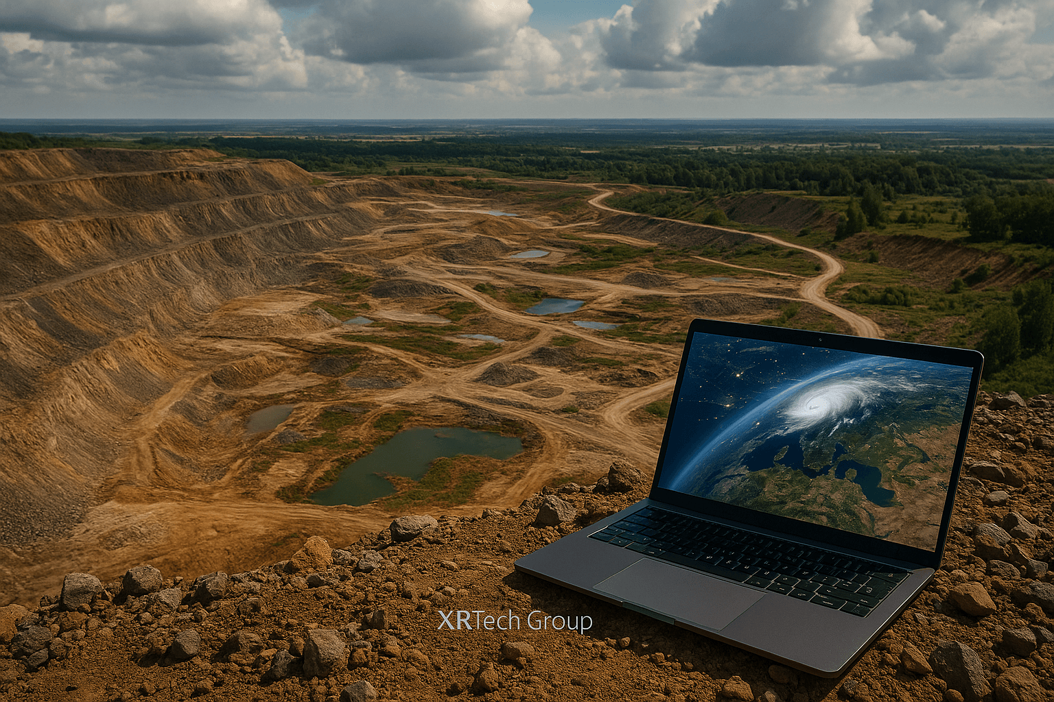
How XRTech Helps You with Mining Satellite Imagery
At XRTech, we make it easy for you to get the power of satellite imagery right where you need it. Whether you’re working in Mining, farming, construction, city planning, or disaster response, our satellite imagery solutions help you see the big picture — from above.
What We Offer
-
High-Resolution Satellite Images
We provide clear, detailed satellite images that show land, water, buildings, and more. You can use them to check changes over time or monitor large areas without needing to visit the location. -
Real-Time and Historical Data
Need to know what’s happening now or what happened last year? XRTech gives you access to both real-time satellite data and past satellite images, so you can compare and make better decisions. -
Custom Image Analysis
We don’t just give you the image — we help you understand it. Our experts can help you analyze satellite data to find patterns, detect problems, or plan ahead. -
Industry Solutions
XRTech supports industries like:- Mining – Advanced satellite imagery and data analytics for faster mineral exploration, site monitoring, and environmental safety.
-
Agriculture – to monitor crops and soil health
-
Environmental Monitoring – to track deforestation, pollution, or natural changes
-
Urban Planning – to map cities, roads, or construction sites
-
Disaster Management – to respond faster to floods, fires, or storms
Easy Access and Support
You don’t need to be a space expert. At XRTech, we provide user-friendly tools and helpful support, so anyone can use satellite imagery with ease.
Ready to See Your Project from Space?
Contact XRTech today and get free satellite imagery for your project location. Whether it’s a farm, a construction site, or a city block — we’ll help you see it from above with clear, high-quality data.
👉 Contact Us Now to get started — it’s fast, easy, and free!
Conclusion
Satellite mining has evolved from a futuristic concept to an essential component of the global mining industry. Utilizing high-speed satellites and detailed mineral mapping, companies are discovering new resources, enhancing safety, protecting the environment, and managing land more responsibly.
In 2026 and beyond, mining satellites will continue to offer unparalleled insights from space, aiding companies in remaining competitive, responsible, and innovative. The power of satellite imagery lies in its ability to transform mining planning, execution, and optimization, making the future of mining smarter, safer, and more sustainable.
XRTech Group is committed to leveraging advanced satellite solutions to assist mining operators in achieving success. With personalized satellite support, comprehensive data analysis, and extensive experience, XRTech empowers the mining industry to embrace the sky as the new frontier for mineral discovery.
FAQs
Q1: What is satellite mining and how does it work?
A: Satellite mining uses high-resolution images from space to detect, monitor, and manage mineral deposits. Mining satellite data helps identify geological patterns, track mine development, and ensure safety through remote sensing.
Q2: How fast do satellites travel in space for mining purposes?
A: Satellites used in mineral mapping orbit Earth at speeds of around 7.8 km per second (about 28,000 km/h). This speed allows satellites to cover vast areas and capture detailed images daily.
Q3: What are the benefits of using satellite imagery in the mining industry?
A: Satellite imagery helps with mineral exploration, site mapping, environmental monitoring, safety, and production forecasting. It reduces costs, improves decision-making, and promotes sustainable mining.
Q4: How is mineral mapping done through satellites?
A: Mineral mapping uses satellite sensors to detect spectral signatures of different minerals. These readings are then analyzed to locate and classify mineral deposits remotely.
Q5: Is satellite data reliable for mining exploration?
A: Yes, modern mining satellite data is highly accurate. Advanced multispectral and radar imaging technology ensures reliable, real-time insights into mineral-rich regions.
Q6: How do satellite maps help in identifying mineral deposits?
A: Satellites scan the Earth’s surface to detect geological structures, mineral reflectance patterns, and vegetation anomalies, which can indicate the presence of valuable minerals.
Q7: What makes satellite imagery essential for mining in remote areas?
A: Satellite mining allows operators to access, analyze, and monitor remote or inaccessible mining regions without the need for physical site visits, saving time and cost.
Q8: Can satellite imagery improve environmental safety in mining?
A: Absolutely. It tracks changes in vegetation, water contamination, land degradation, and mine tailing stability, helping mining operations minimize environmental damage.
Q9: What kind of minerals can be detected using mining satellites?
A: Satellites can help identify various minerals such as gold, copper, iron, rare earth elements, and clays by analyzing their unique spectral fingerprints.
Q10: How does satellite mining support sustainability in the mining sector?
A: It provides continuous monitoring, reduces ground disruption, helps manage reclamation, and ensures more efficient use of natural resources, leading to more responsible mining.

