
Get a firsthand look at the power of our Earth Observation (EO) data delivery in critical situations. In the example below — Derna, Libya, just 24 hours after devastating floods — we delivered more than just images. We enabled action.
Precisely identified flood extents to support relief operations.
Helped authorities plan safe zones and allocate emergency resources effectively.
Our EO data was delivered within 24 hours — while others were still preparing quotes.
Teams around the world are choosing XRTech for Earth Observation data because we go beyond imagery — we deliver mission-ready solutions built for real-world demands.
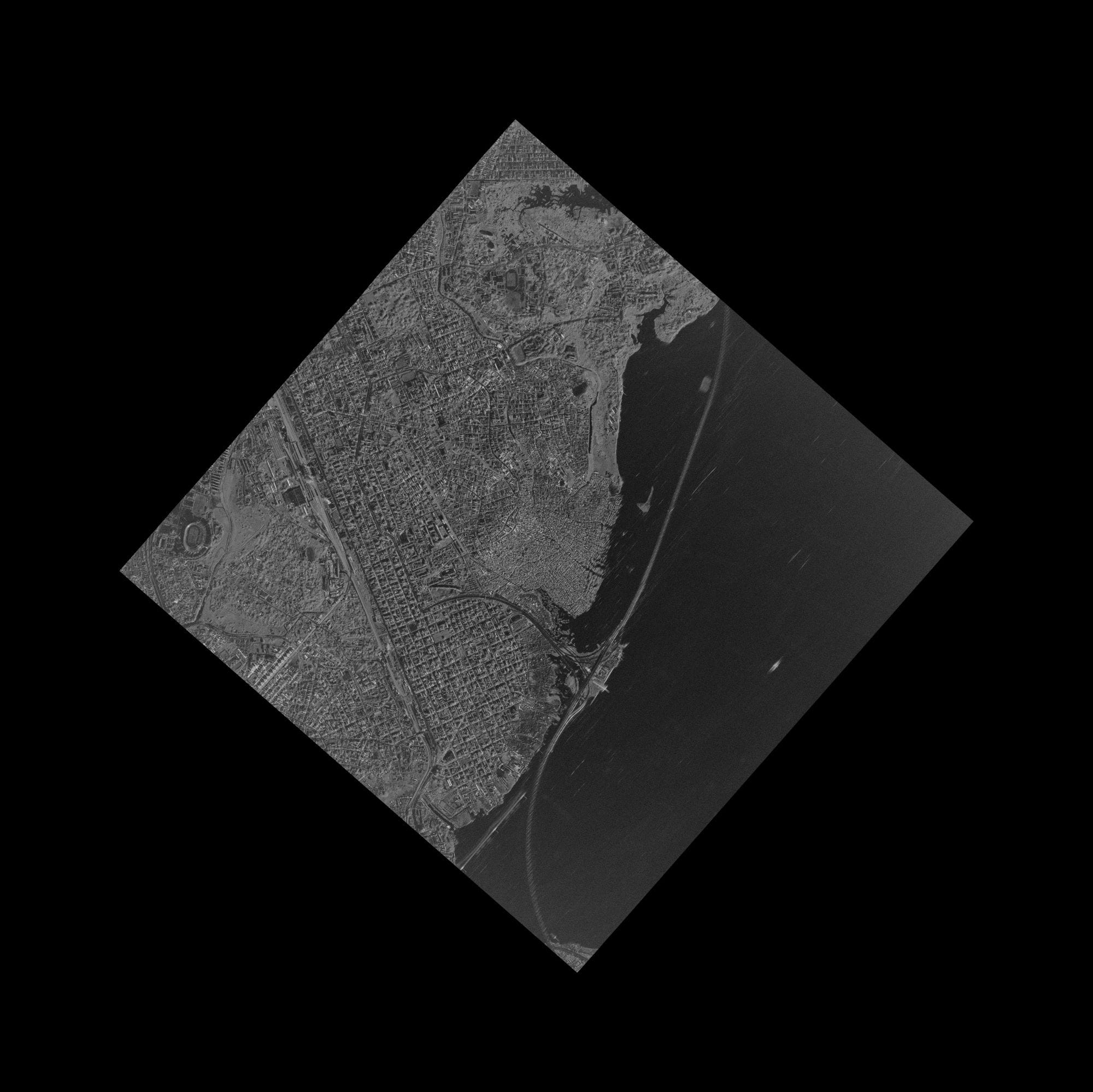
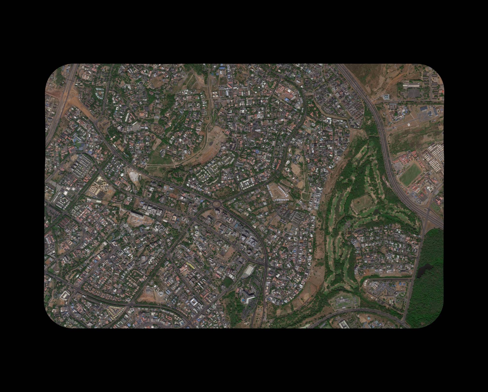
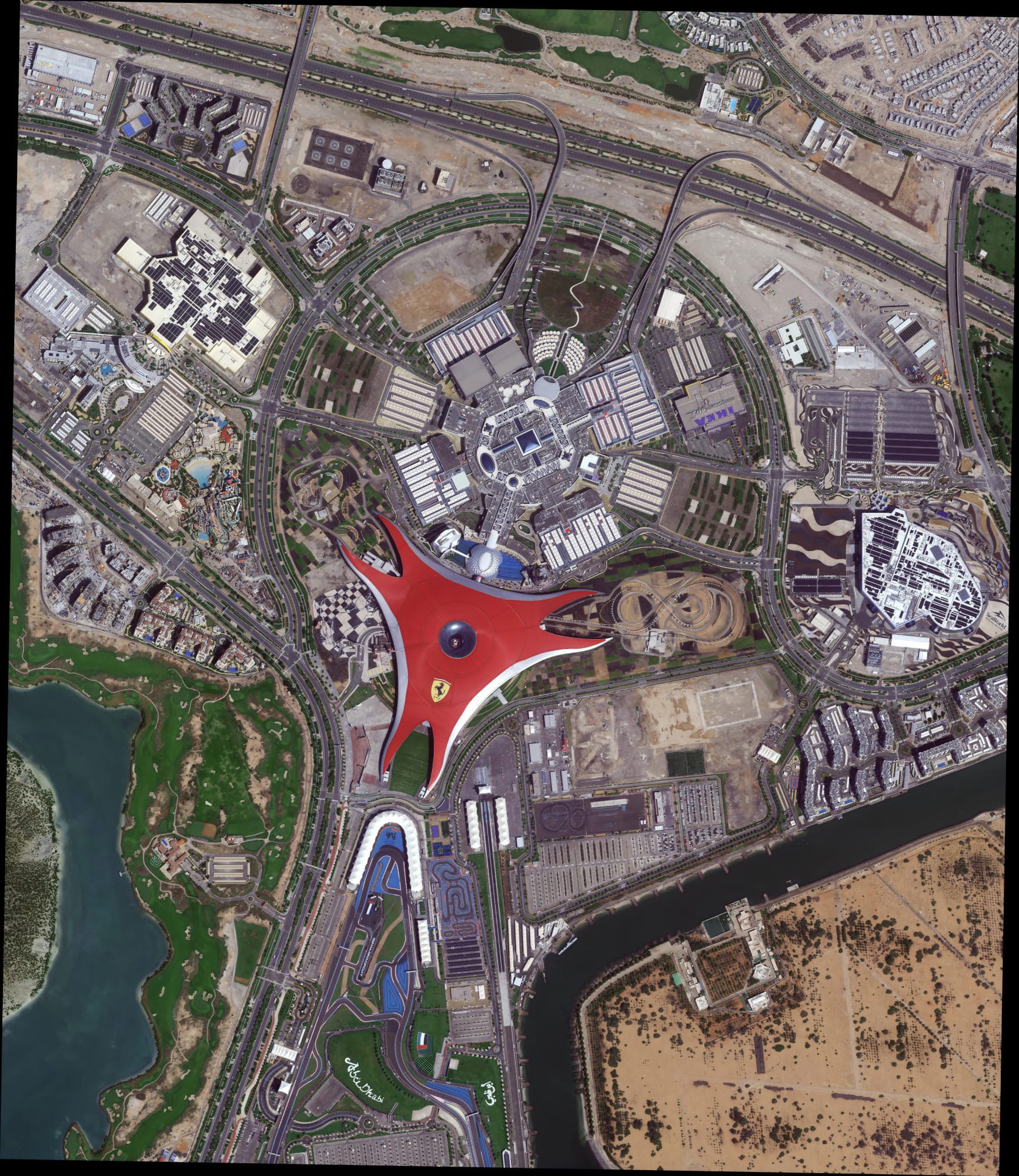
A powerful constellation including optical, SAR, stereo, and hyperspectral sources ensures coverage across any terrain or condition.
Get EO imagery in under 7 days and DEMs in under 21 days, even for large or remote areas.
Enjoy sub-meter resolution with CE90 and RMSE specs that meet even the most demanding project standards.
Delivered in formats you already use — GeoTIFF, SHP, DWG, and UTM — for seamless integration with your GIS or CAD workflows.
As a non-U.S. provider, we avoid export control bottlenecks, getting your data to you faster and with fewer restrictions.
Designed to match your operational realities, whether you're mapping a floodplain or planning national infrastructure.
XRTech’s Earth Observation capabilities are trusted by governments, NGOs, and enterprises to support real, high-impact work across continents and industries. Our solutions are not theoretical — they’re already making a difference.
Rapid-response EO imagery enabled critical response efforts in Libya and Southeast Asia, supporting evacuation, assessment, and recovery.
Delivered high-accuracy Digital Elevation Models across Africa to guide large-scale infrastructure and transportation planning.
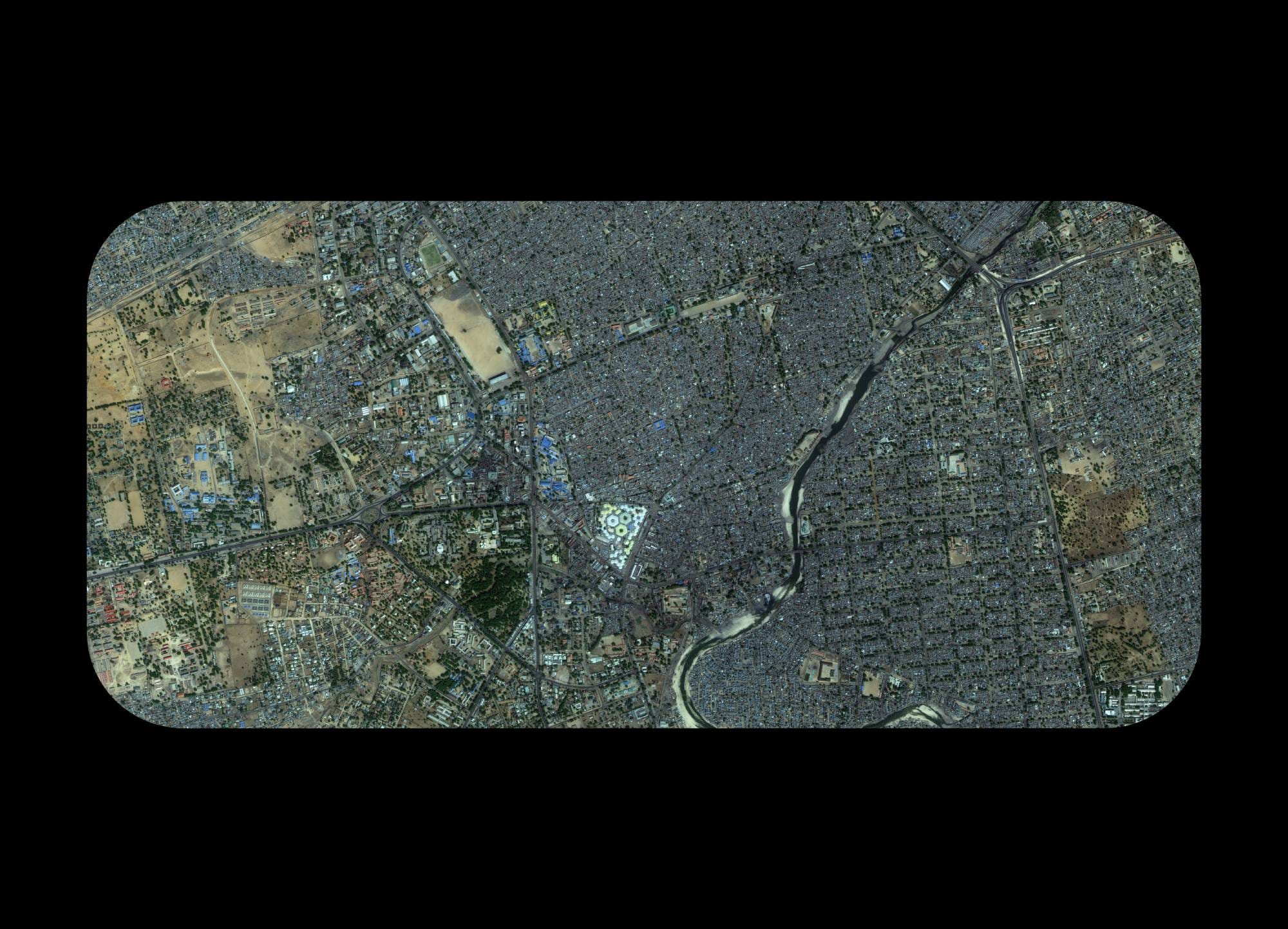
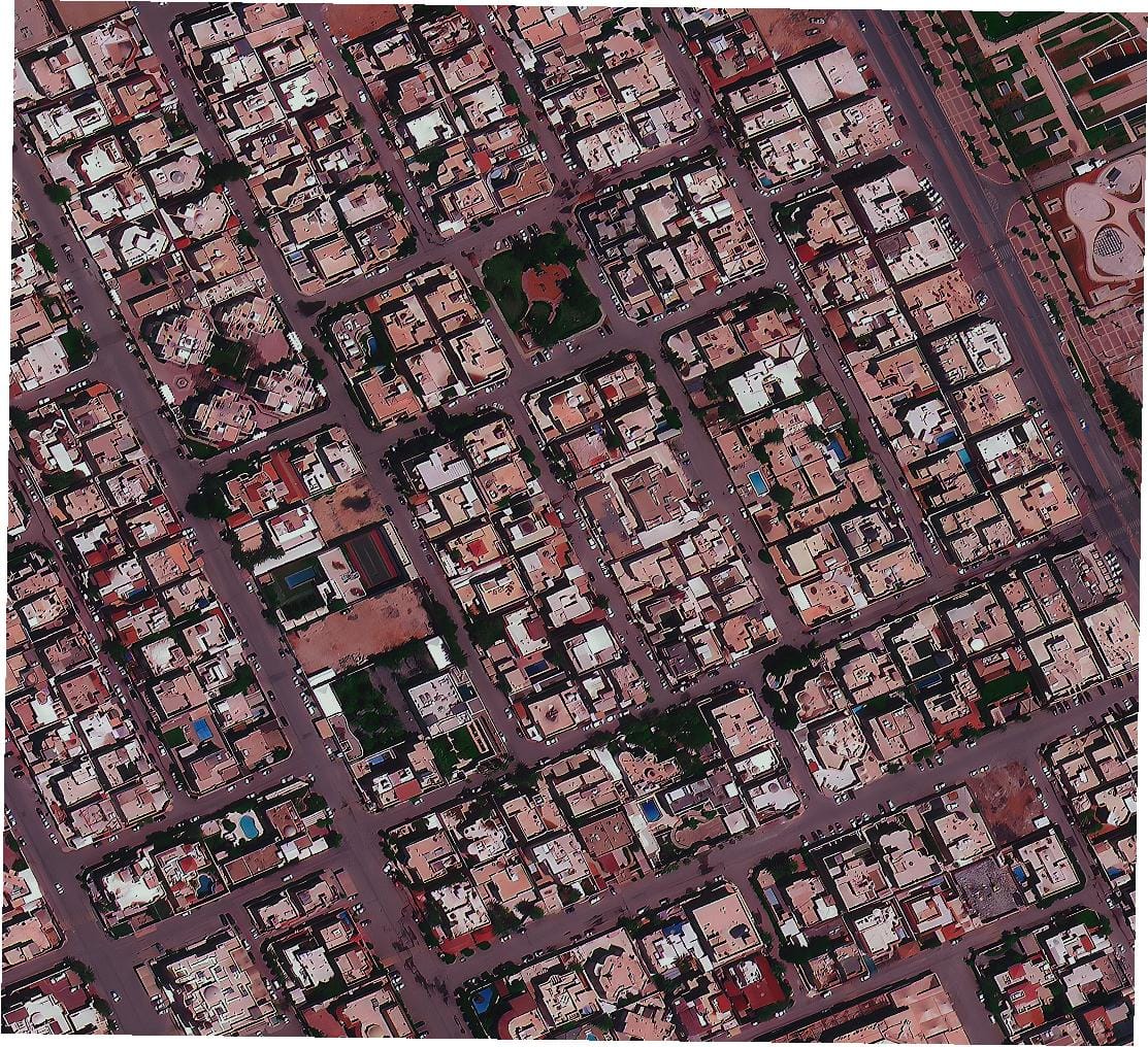
Enabled forward-thinking urban planning in China and Vietnam with high-resolution data tailored for zoning, mobility, and growth projections.
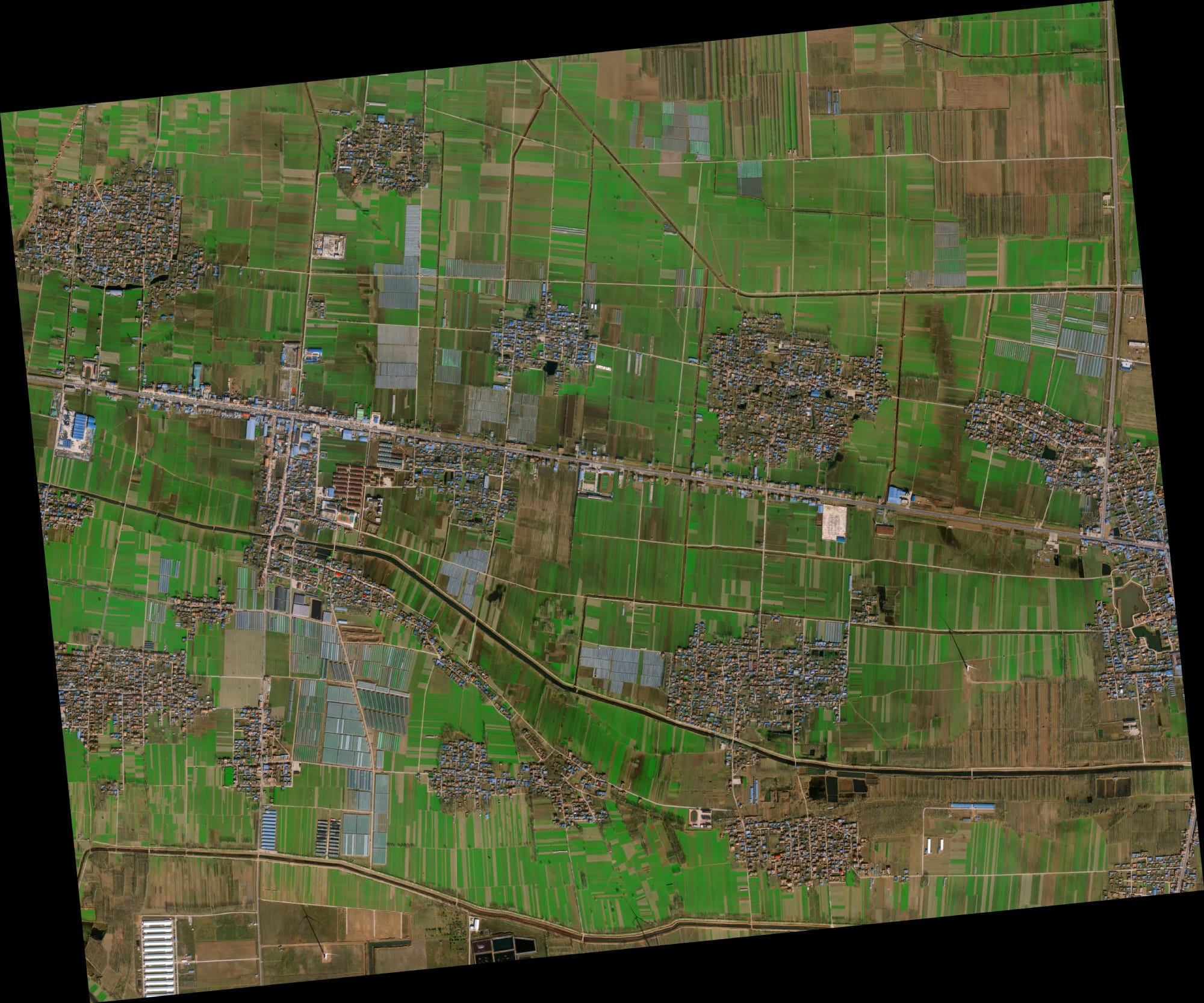
Supported crop health tracking and subsidy distribution accuracy in India and Nigeria, combining EO data with local insights.
Leveraged SAR and optical fusion to provide persistent, all-weather monitoring of sensitive border regions.
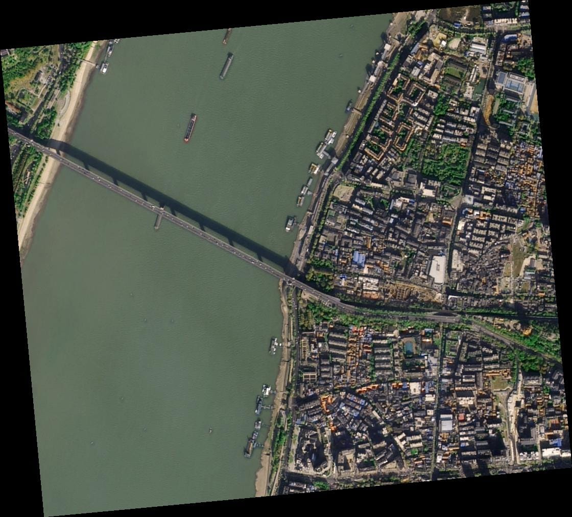
Delivered detailed modeling for complex water systems like the Yellow River Basin, enhancing hydrological analysis and water resource management.
Sub-meter resolution with support for 8-bit, 11-bit, and 16-bit depth — ortho-ready and optimized for analysis.
Available at 2–10 meter spacing with ±3m vertical RMSE, suitable for engineering, hydrology, and land development.
Delivered in industry-standard formats: GeoTIFF, IMG, SHP, DWG, ready for GIS, CAD, or modeling workflows.
Receive your data via secure cloud delivery or physical HDD, depending on your project needs.
Flexible support for WGS84, UTM, or custom coordinate systems.
Simple, project-wide licensing that’s publication-friendly and built for collaborative teams.
Our clients don’t just get data — they get speed, clarity, and support that exceeds expectations. Here’s what they’re saying:
Choose a plan that fits your needs — from rapid response imagery to full-scale DEM + analysis packages. No hidden fees, no license confusion.
51-80cm | Applicable up to 4 bands
31-50cm | Applicable up to 4/8 Bands*
30cm | Applicable up to 4 Bands
We’re confident in the quality of our data and service. To ensure your satisfaction, we offer a free sample image before you commit to any order. This allows you to check the quality firsthand, with no risk or obligation.
Curious how XRTech supports real-world missions across sectors and regions? Start with a closer look at 5 actual deployments — including before/after imagery, timelines, and outcomes.
Brief questions. Practical guidance. Get an indicative estimate instantly, and we only proceed to a formal quote once the basics are clear.
Your satellite imagery request has been sent to admin@xrtechgroup.com. XRTech will review feasibility and send a formal quote within 24 hours. A free sample tile for your AOI is included in the quote response.