HJ-1A/B/C Satellite Constellation
The HJ-1 series is a dedicated constellation for environmental monitoring and disaster assessment. Featuring a unique combination of optical (HJ-1A/B), hyperspectral (HJ-1A), infrared (HJ-1B), and Synthetic Aperture Radar (HJ-1C) sensors, it provides a comprehensive and multi-faceted view of the Earth's surface for complex analysis.

Max SAR Res.
5m
Max Optical Res.
30m
Max Swath
720 km
Sensors
Multi-Sensor
Bands (Hyper)
115
Primary Mission
Environment
Technical Specifications Comparison
| Attribute | HJ-1A | HJ-1B | HJ-1C (SAR) |
|---|---|---|---|
| Primary Sensor | Optical / Hyperspectral | Optical / Infrared | C-Band SAR |
| Resolution | 30m (CCD) 100m (Hyper) | 30m (CCD) 150m (IR) | 5m (Strip) 20m (Scan) |
| Swath Width | 700km (CCD) 50km (Hyper) | 700km (CCD) 720km (IR) | 40km (Strip) 100km (Scan) |
| Spectral Bands | 4 (CCD) 115 (Hyper) | 4 (CCD) 4 (IR) | C-Band |
Features and Benefits
- Multi-Sensor Synergy: The constellation's unique combination of optical, hyperspectral, infrared, and SAR sensors allows for comprehensive, multi-layered environmental analysis.
- All-Weather Monitoring: With the HJ-1C SAR satellite, data collection is guaranteed for disaster response and environmental monitoring, even in cloudy or rainy conditions.
- Wide Area Coverage: The optical and infrared sensors feature very wide swaths (up to 720 km), making them highly efficient for regional-scale monitoring and rapid assessment.
- Advanced Spectral Data: HJ-1A's hyperspectral imager, with 115 bands, provides detailed data for material classification, while HJ-1B's infrared camera is key for thermal analysis and fire detection.
Applications
Why Choose XRTech Group for HJ-1 Imagery?
We provide more than just satellite data; we deliver comprehensive solutions tailored to your project's specific needs, ensuring you get actionable insights quickly and efficiently.
Expert Consultation
Our geospatial experts provide a free consultation to understand your needs and recommend the best acquisition parameters to ensure optimal results for your project.
Rapid Delivery
Leveraging our direct partnership and access to a vast 130+ satellite constellation, we offer fast turnaround times, delivering imagery in days, not weeks.
Seamless Integration
We deliver data in industry-standard formats (like GeoTIFF) compatible with your GIS, CAD, or modeling software, with a team ready to support your workflow.
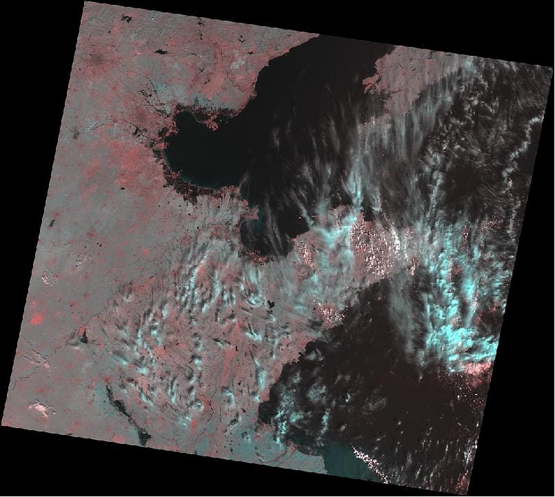
HJ-1 Series Sample Imagery

