
Critical infrastructure monitoring
Tailings Dam Monitoring with Satellite Technology
Mitigate Risks, Ensure Safety & Maintain Compliance with AI-Powered Satellite Monitoring
XRTech Group provides specialized tailings dam monitoring with satellite solutions to detect deformation, identify changes early, support risk assessment, and protect communities and environments downstream of every facility.
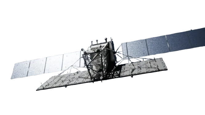
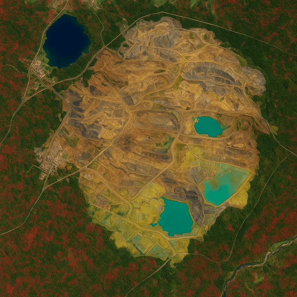
Tailings storage facility, satellite view of pond, embankment and access roads
1–2mm
Deformation detection
130+
Satellite access
24h
Emergency delivery
3+ Years
Historical baseline
The Critical Need for Advanced Satellite Tailings Dam Monitoring
The Global Tailings Dam Crisis
Tailings dam failures have caused catastrophic environmental damage and loss of life worldwide. When an embankment fails, a flow of saturated mine waste can reach rivers, farmland and communities long before anyone downstream can react.
270
Lives lost in the Brumadinho disaster alone
$17B
In fines that followed the same failure
01
Over 3,500 tailings dams worldwide require constant monitoring
02
Many dams sit in remote, difficult-to-access areas
03
Traditional monitoring can be costly and reactive
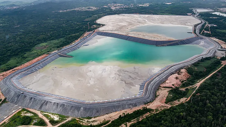
Tailings pond and containment embankment at an active mine
Regulatory Pressure & ESG Requirements
Global standards and investor coalitions representing more than $24 trillion now expect improved tailings dam monitoring and transparency. Operators are asked to show evidence of control, not just assurances.
01
Global Tailings Standard
Calls for continuous monitoring of tailings facilities throughout their life.
02
ESG investors
Require demonstrable risk mitigation and transparent reporting from operators.
03
Insurance requirements
Premiums are increasingly tied to the monitoring capabilities in place.
The Challenges of Traditional Tailings Dam Monitoring
Ground inspections and in-situ instruments remain essential, but on their own they leave gaps in coverage, frequency and timing across a large tailings storage facility.
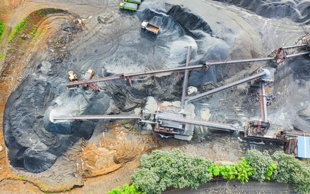
Processing plant and stockpiles, the areas crews walk every day
01
Manual Inspection Risks
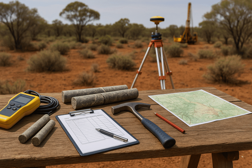
Personnel walking unstable perimeters face real safety risks, and each walk only captures a limited set of observation points and subjective readings.
02
Remote Location Access
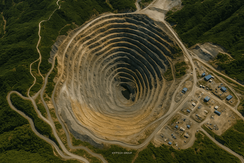
Many tailings dams are in isolated terrain, so frequent physical visits are difficult, slow and expensive to organise, especially in wet seasons.
03
Delayed Response Times
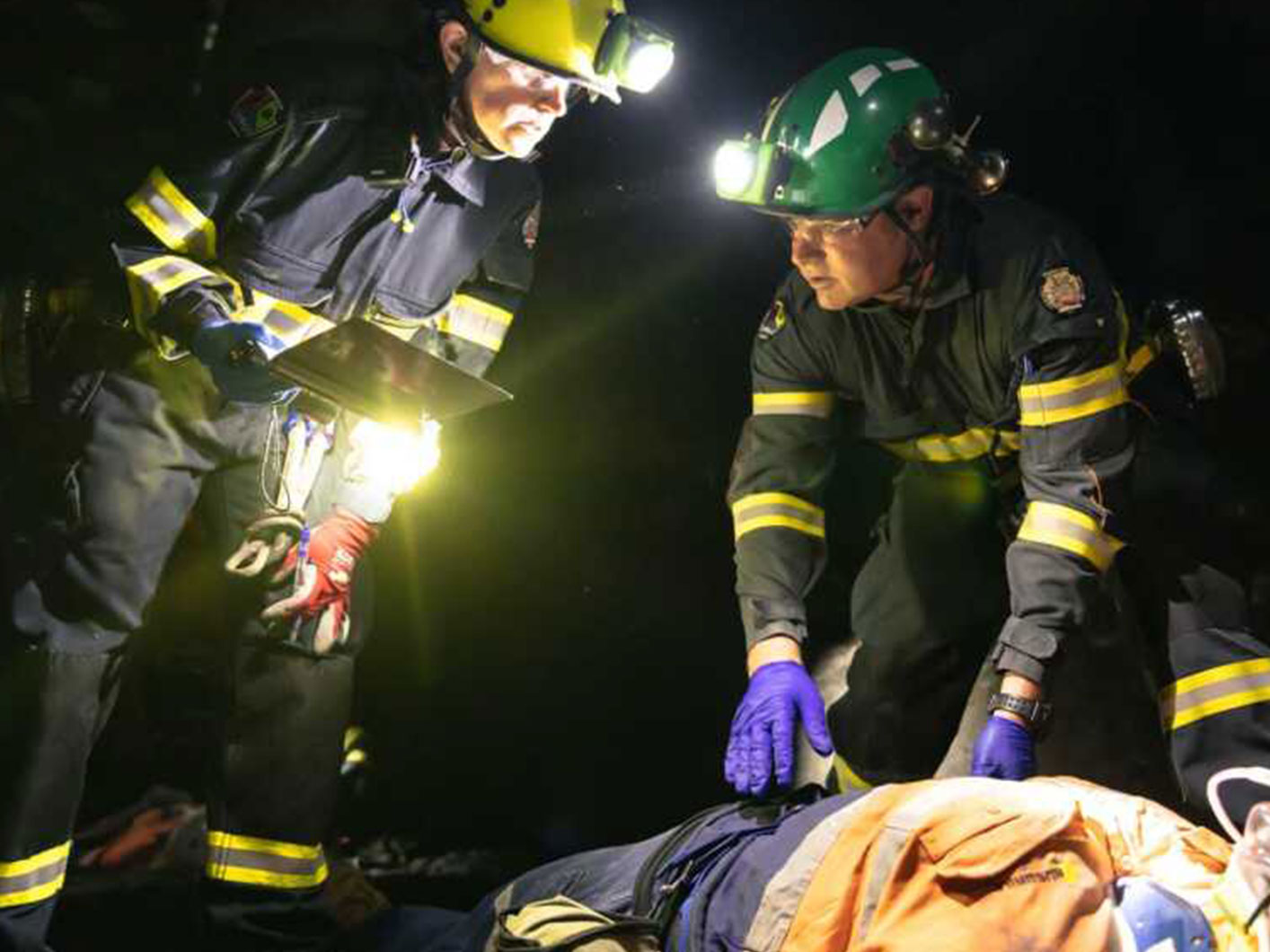
When movement is only noticed during the next scheduled visit, it may be identified too late for effective intervention, and teams end up reacting instead of preventing.
XRTech's Satellite Tailings Dam Monitoring Solution
Our multi-sensor, AI-driven approach combines satellite monitoring, deformation analysis and environmental observation to support structural integrity, compliance and remediation across the whole facility.
01
Structural Integrity Monitoring
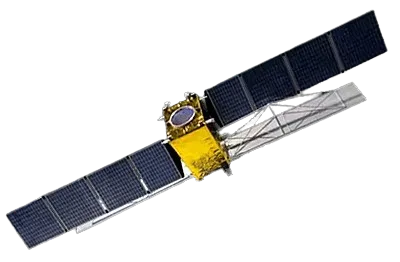
Radar interferometry follows how the embankment, crest and abutments move between satellite passes, building a continuous deformation record for your geotechnical team.
02
Environmental & Remediation Monitoring
Optical, multispectral and hyperspectral observations follow water, seepage and vegetation around the facility, from active operation through to post-closure.
LOS velocity, mm/yr
+20
0
−20
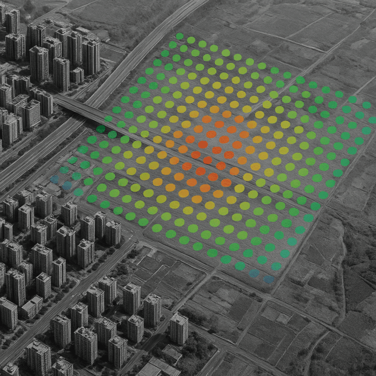
Illustrative InSAR velocity map over a tailings facility. Warm tones mark subsidence on the embankment toe.
Repeat passes, same orbit geometry
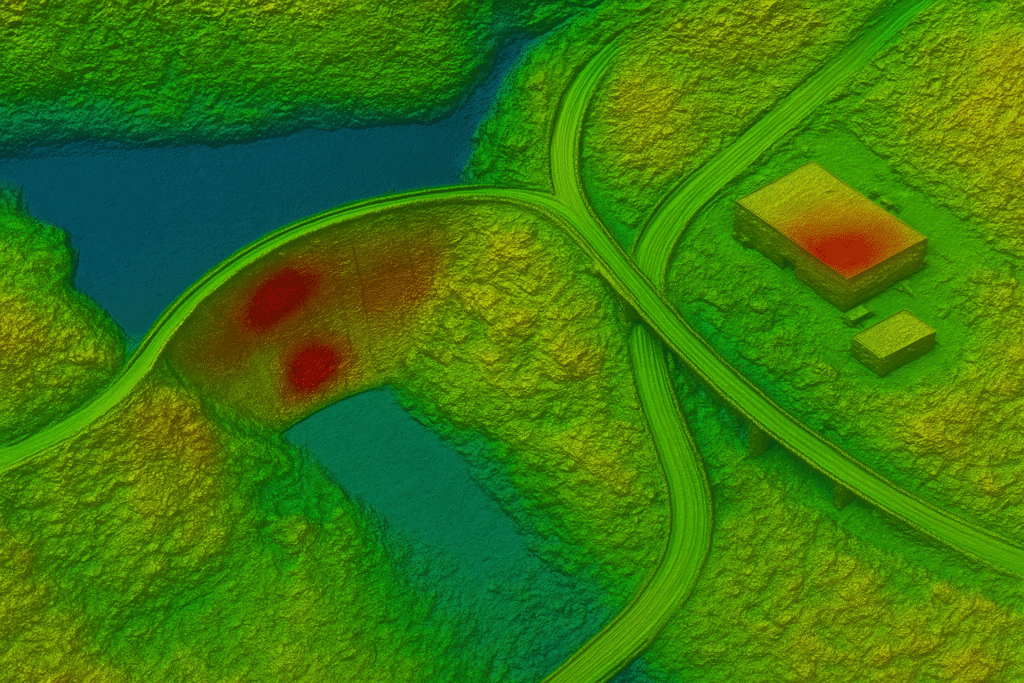
Phase difference between passes becomes line-of-sight displacement
Structural Integrity Monitoring with InSAR
Interferometric Synthetic Aperture Radar compares the phase of radar echoes from repeat satellite passes over the same tailings dam. Small shifts in that phase reveal surface movement on the embankment, crest and slopes, building a long-term deformation history for every point on the structure.
1–2mm deformation detection
Identify movement long before visual signs such as cracking or bulging appear.
All-weather operation
Radar images through clouds, smoke and darkness, so the record has no seasonal gaps.
Historical baseline analysis
Current movement is compared against 3+ years of archived radar observations.
Automated alert system
Immediate notifications when movement exceeds the thresholds agreed with your engineers.
Environmental & Remediation Monitoring
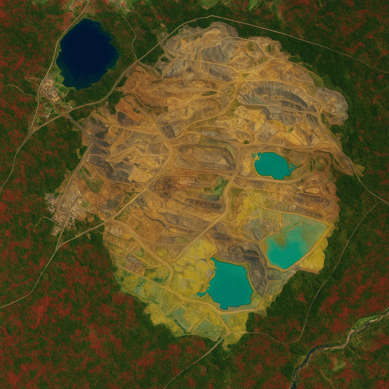
Monitor environmental conditions across the tailings lifecycle. Spectral satellite data shows what is happening to water, soil and vegetation around the facility, well beyond the reach of a single sampling point.
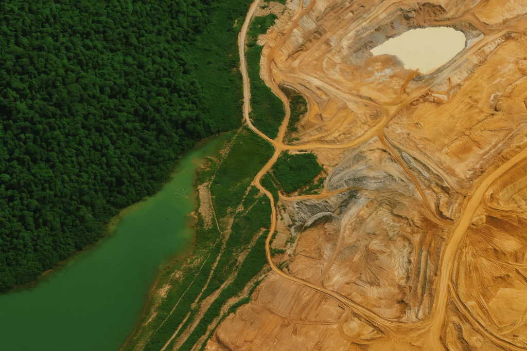
Mine water, disturbed ground and forest edge in a single spectral scene
01
Water Quality Tracking
Monitor pH, turbidity and heavy metal indicators in tailings ponds, decant water and receiving streams.
02
Contamination Detection
Identify likely seepage and leakage sources by mapping spectral anomalies along the embankment toe and drainage paths.
03
Vegetation Health
Track revegetation progress on capped and rehabilitated surfaces during closure phases.
04
Compliance Reporting
Automated, dated documentation that supports your regulatory submissions.
Monitoring across the tailings lifecycle
Active operation
Baseline water and land condition while deposition continues.
Monitoring
Regular observation of ponds, seepage paths and disturbance.
Closure
Evidence that capping and drainage works perform as designed.
Remediation
Measured progress of revegetation and water recovery.
Post-closure
Long-term records that support relinquishment and stewardship.
Advanced Satellite Technology for Tailings Dam Monitoring
Three sensor families work together: radar for movement, optical and spectral sensors for surface and water condition, and elevation models for geometry.
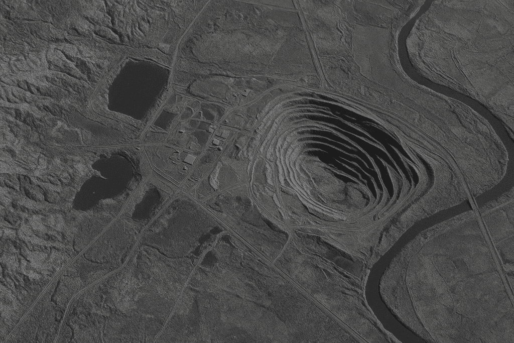
Synthetic Aperture Radar
The core monitoring technology. Day-and-night imaging through clouds, smoke and darkness, with 1–2mm movement detection using InSAR.
Satellites
GF-3 SAR (C-band, 1m) and LT-1 SAR (L-band, 3m)
Bands
L-band, C-band and X-band for different penetration depths
Polarization
Single, dual and full
Operation
All-weather, day and night
Accuracy
1–2mm surface movement
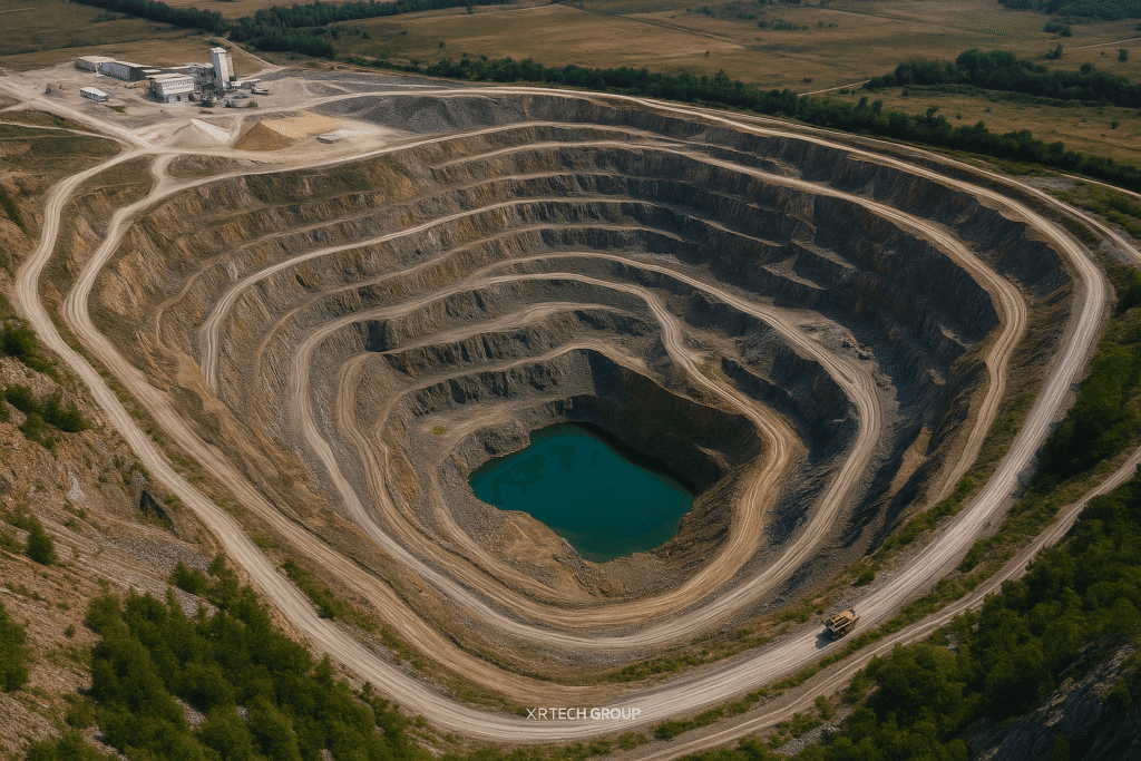
Optical & Spectral Sensors
High-resolution and spectral imagery for visual monitoring, land disturbance tracking, environmental assessment and chemical detection.
Optical
0.3m to 2m resolution
Hyperspectral
400 to 2500nm range
Multispectral
Panchromatic, RGB, NIR and specialized bands
Use
Land disturbance, water and vegetation condition
Digital Elevation Models
Elevation data for geotechnical assessment, critical for slope stability and overburden calculations.
Products
DEM, DSM and DTM
Spacing
2 to 10m
Vertical
±3m RMSE accuracy
Formats
GeoTIFF, SHP and DWG, compatible with existing systems
Understand Tailings Dam Terrain in Three Dimensions
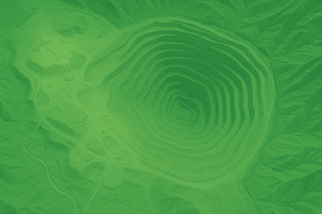
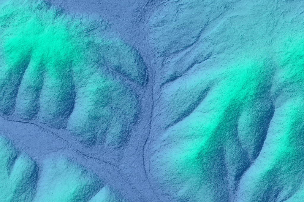
Stereo satellite imagery is processed into surface and terrain models of the whole facility. Stacked together, they turn a flat picture into geometry your geotechnical team can measure: crest levels, beach profiles, slopes and the ground the embankment sits on.
Imagery on surface model
The DSM with imagery draped on top shows the pond, embankment and structures as they stand.
Digital Terrain Model
The DTM removes structures and vegetation to reveal the bare ground beneath the facility.
Shaded relief DEM
Relief shading exposes slope angles, drainage lines and subtle terrain change.
Used for slope stability analysis of embankments and pit walls, overburden and volume calculations, runoff modelling and geotechnical assessment.
From Satellite Observations to Actionable Alerts
Every new acquisition runs through an automated chain. Your team does not have to study each image; they are told when something needs attention and where to look.
01
Satellite data
New SAR and optical acquisitions arrive over the facility.
02
Change detection
Each pass is compared with the historical baseline.
03
AI analysis
Machine learning separates real trends from noise.
04
Threshold check
Movement rates and anomalies are tested against your limits.
05
Alert
Immediate notification with the location and trend.
06
Field response
Engineers inspect the exact area that changed.
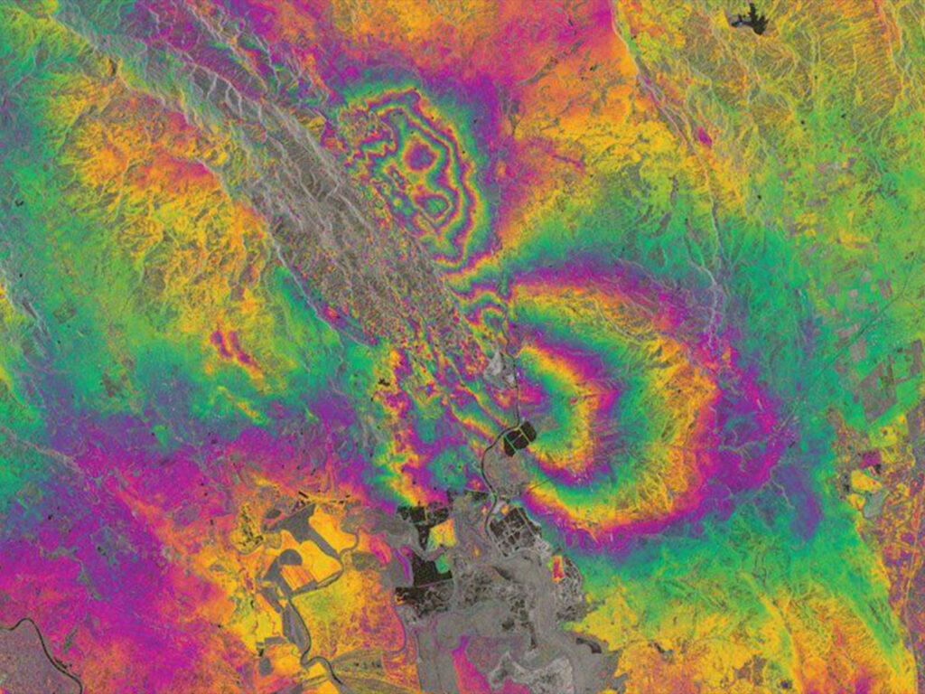
Raw interferogram: the input the analysis chain starts from
Pattern detection
Models learn the normal seasonal behaviour of your embankment, so ordinary settlement is not reported as a risk.
Anomaly identification
Acceleration, new movement zones and unusual surface change are flagged automatically across the full facility.
Alerting and response
Thresholds are agreed with your engineers, and each alert carries the evidence needed to decide on the next step.
Benefits of Satellite Tailings Dam Monitoring
What changes for the operator, the engineer of record and the people living downstream.
01
Risk Mitigation
Earlier identification of movement gives engineers time to investigate and act before a problem escalates, protecting lives and the environment downstream.
02
Cost Reduction
Remote monitoring reduces unnecessary physical inspections, and demonstrated risk control can help lower insurance premiums.
03
Compliance Assurance
Automated, dated records support Global Tailings Standard and ESG reporting without adding fieldwork.
04
Rapid Response
Alerts point teams to the area that changed, so investigations start sooner and focus where they matter.
Explore Our Satellite Imagery Portal
Search satellite imagery for your tailings facility, inspect available archive coverage, define your Area of Interest and request new tasking.
01
Search your site
Find the tailings facility by name or coordinates and see which archive imagery already covers it.
02
Draw or upload KML
Define the exact Area of Interest on the map, or upload the KML of your lease or facility boundary.
03
Order imagery
Review the scenes, choose archive imagery or request new tasking, then place your order.
buysatelliteimages.com/satellite-imagery-portal
Archive search
Tailings storage facility
Search
Draw AOI
Upload KML
AOI 26.4 km²
Archive imagery found
Optical, 0.5m
Cloud 2%, archive
SAR, 1m
All-weather, archive
Optical, 0.3m
Cloud 0%, archive
Search, select archive imagery, draw an AOI or upload KML, review, order
Rapid Data Delivery for Time-Critical Monitoring
When a threshold is crossed, the value of satellite data depends on how quickly it reaches your engineers.
24 hours
Emergency satellite imagery
Under 7 days
Standard satellite imagery delivery
Under 21 days
Custom Digital Elevation Models
Online access
Data is delivered through the Siwei Earth cloud platform for immediate access by your team.
No export delays
As a non-U.S. provider we avoid export control bottlenecks.
Transparent Satellite Imagery Pricing
Prices in USD per km². Archive imagery has already been captured; new tasking schedules a satellite over your facility.
High
51–80cm resolution
$5
per km², archive
$8
per km², new tasking
Minimum 25 km² archive, 100 km² new tasking
Very High
31–50cm resolution
$13
per km², archive
$20
per km², new tasking
Minimum 25 km² archive, 100 km² new tasking
Super High
30cm resolution
$20
per km², archive
$30
per km², new tasking
Minimum 25 km² archive, 100 km² new tasking
Stereo imagery: 2× cost. Tri-stereo imagery: 3× cost.
View Detailed Pricing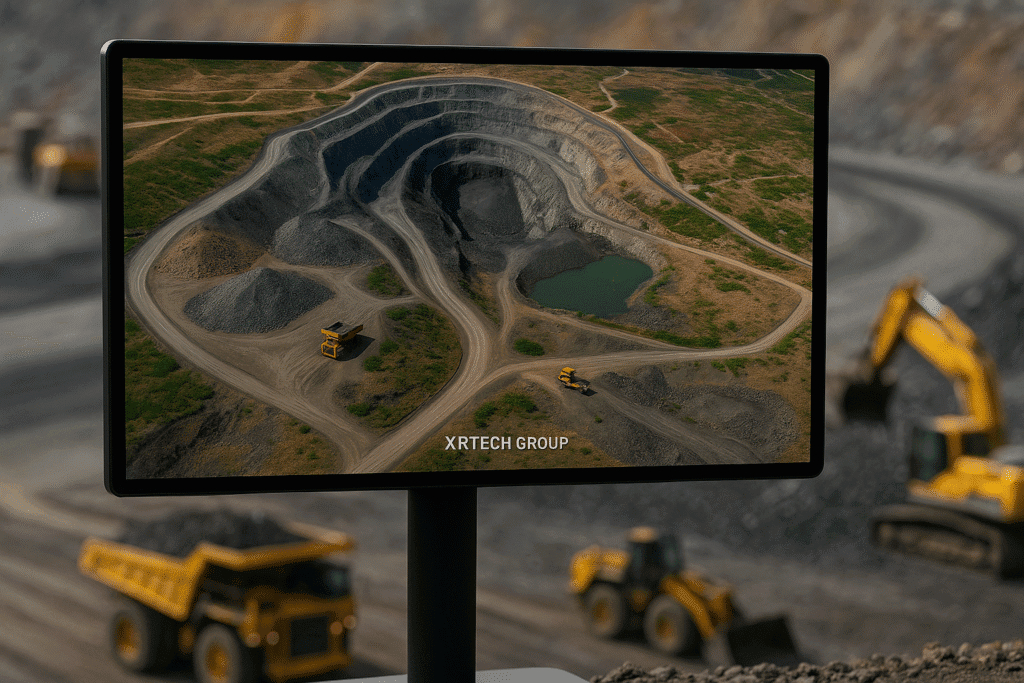
Why Choose XRTech for Tailings Dam Monitoring?
What you get from XRTech specifically, beyond the technology itself.
01
130+ Satellite Constellation
The largest non-U.S. satellite network, giving continuous coverage and redundancy if one sensor is unavailable.
02
AI-Powered Analytics
Machine learning algorithms that catch patterns and anomalies human operators miss.
03
Historical Baseline
Archive depth that makes change detection and trend analysis accurate from the first report.
04
Rapid Delivery
Some of the fastest delivery times in the industry, including a 24-hour emergency service.
05
Expert Support
Dedicated geotechnical and remote sensing specialists who work on your project with you.
Global Satellite Monitoring Expertise
XRTech Group specializes in satellite monitoring solutions for critical infrastructure. As a global distributor partnering with China Siwei, we combine a large satellite fleet with AI analytics and in-house specialists.
Our expertise
InSAR deformation monitoring
Multi-sensor data fusion
AI-powered change detection
Emergency response systems
Global impact
Monitoring 1000+ critical assets worldwide
24/7 operations center
Rapid deployment capability
Non-U.S. provider advantage
Satellite Monitoring for Critical Infrastructure
The same monitoring approach protects assets beyond mining. Our record includes successful satellite monitoring of critical infrastructure such as the Aswan Dam.
Frequently Asked Questions
Answers to the questions geotechnical, environmental and operations teams ask us most about satellite monitoring of tailings dams.
Ask an Expert
What is tailings dam monitoring?
Tailings dam monitoring is the ongoing observation of a tailings storage facility, including its embankment, pond, seepage paths and surroundings, to detect instability or environmental impact early. Satellite monitoring adds facility-wide InSAR, optical, spectral and elevation data to ground instruments and inspections.
How does InSAR monitor tailings dams?
InSAR compares the phase of radar signals from repeat satellite passes over the same area. Differences in phase reveal surface movement on the embankment, crest and slopes, and a time series of passes shows whether that movement is steady or accelerating.
Can SAR monitor tailings dams through clouds?
Yes. Synthetic Aperture Radar sends its own microwave signal, so it images through cloud, smoke and darkness. Deformation monitoring stays continuous in wet seasons, when tailings dams are often under the most stress.
How accurate is satellite deformation monitoring?
InSAR can detect surface movement of 1–2mm. Achievable accuracy depends on the radar band, revisit frequency, surface conditions and the number of acquisitions, so results are best read alongside in-situ instruments on site.
What satellite data is used for tailings dam monitoring?
SAR for deformation, high-resolution optical imagery for visual change and land disturbance, multispectral and hyperspectral imagery for water and vegetation condition, and DEM, DSM and DTM elevation data for slope and volume analysis.
How does hyperspectral imagery help monitor tailings dams?
Hyperspectral sensors record hundreds of narrow bands, so they can pick up changes in water quality, the spectral signatures of seepage and contamination, and early stress in the vegetation around a facility.
How can satellite monitoring support tailings dam compliance?
Automated, dated records of deformation and environmental condition give evidence for Global Tailings Standard obligations, ESG disclosures, insurer questions and regulatory reporting.
What is DEM data used for in mining?
Digital Elevation Models support slope stability analysis, overburden and volume calculations, drainage planning and geotechnical assessment. We deliver them in GeoTIFF, SHP and DWG for use in existing GIS and CAD systems.
Start Protecting Your Tailings Dams Today
Implement proactive tailings dam monitoring with satellite technology to support safer operations, environmental protection and informed risk management.