
Digital elevation model services
Digital Elevation Models (DEM), DSM and DTM Data
Order satellite-derived DEM images for any location on Earth. XRTech Group delivers DEM, DSM and DTM data products at 2 to 10m grid spacing with around 3m vertical RMSE, ready for GIS and CAD, in under 21 days.
2 to 10m
DEM grid spacing
±3m
Vertical RMSE
< 21 days
Delivery, even for remote areas
130+
Optical and radar satellites
Definition
What Is a Digital Elevation Model?
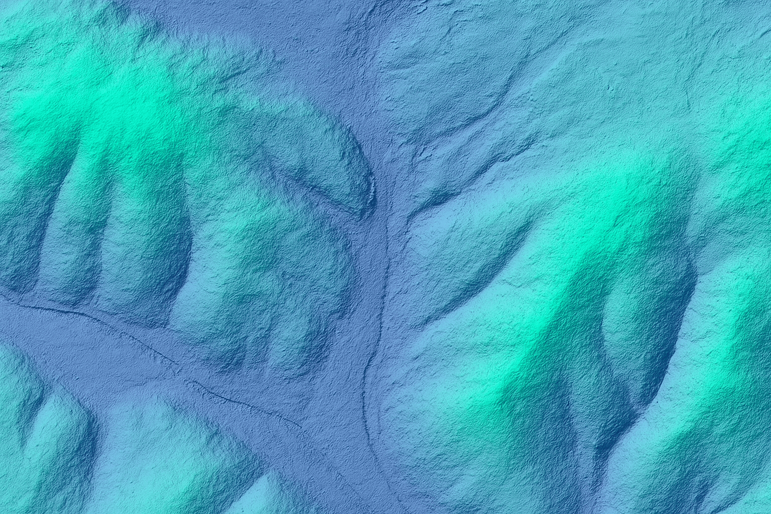
A digital elevation model (DEM) is a raster grid in which every cell stores the height of the bare ground surface, with buildings, trees and other objects removed. DEM data is the base layer for slope, drainage, flood and earthworks analysis in GIS and engineering software.
XRTech Group creates DEM images from high-resolution stereo and radar satellite imagery, so we can model large, remote or restricted areas without aerial flights or field crews. Alongside the bare-earth DEM we supply surface models (DSM), engineering terrain models (DTM) and orthophotos from the same data. Read our full guide: what is a digital elevation model.
Order DEM Data →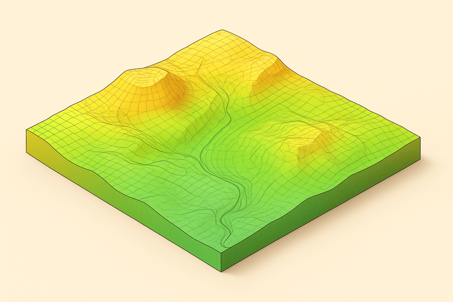
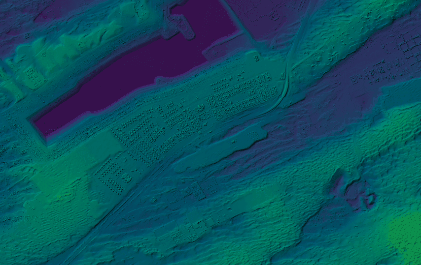
A bare-earth DEM: every grid cell holds a ground height, shown here as colour
Our services
Our Digital Elevation Model Services
A suite of 3D data products derived from high-resolution satellite imagery, each modelling the Earth's surface in a different way.

Digital Elevation Model (DEM)
A bare-earth model of the terrain, representing the ground surface with all natural and man-made features removed. Essential for hydrology, geology and land-use planning.
Digital Surface Model (DSM)
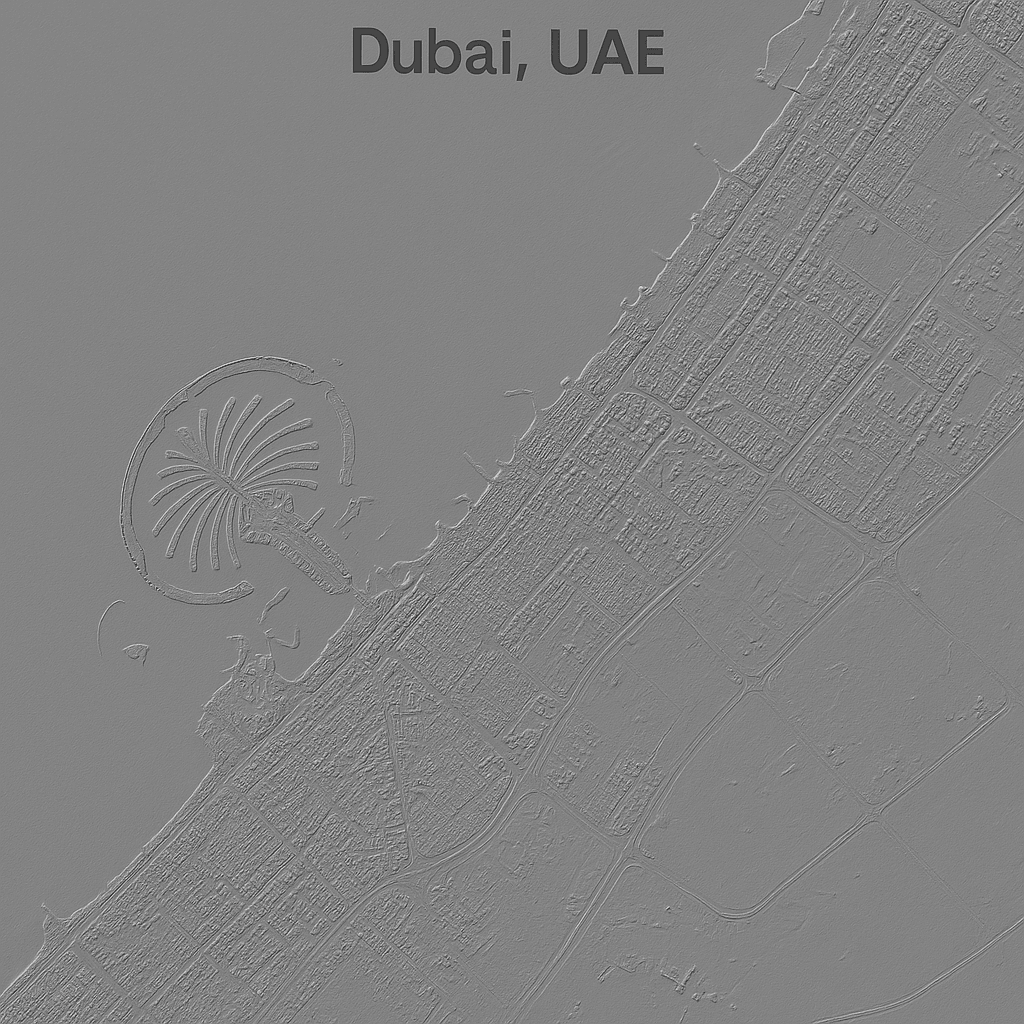
Captures the elevation of every surface feature, including vegetation, buildings and infrastructure. Crucial for urban planning, forestry and line-of-sight analysis.
Digital Terrain Model (DTM)
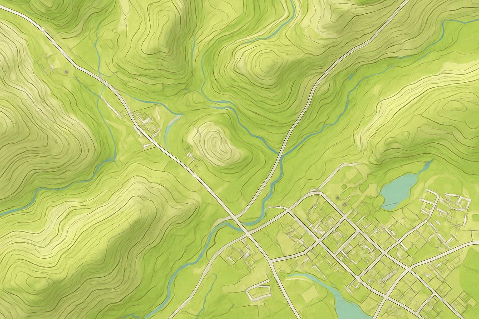
A more detailed bare-earth model that adds characteristic terrain features and breaklines. The foundation for advanced engineering and cartographic work.
DEM vs DSM vs DTM
Which Elevation Model Do You Need?
All three are 3D height models, but they describe different surfaces. Pick the model by what your analysis needs to see.
Product
What it shows
Best for
Digital Elevation Model (DEM)
Bare-earth ground surface with vegetation and buildings removed
Hydrology, geology, flood modelling, land-use planning
Digital Surface Model (DSM)
Top surface including roofs, tree canopies and infrastructure
Urban planning, RF line-of-sight, forestry, obstacle mapping. See the DSM service
Digital Terrain Model (DTM)
Bare earth enhanced with breaklines and characteristic terrain features
Civil engineering design, cartography, contours. See the DTM service
Orthophoto (DOM) and 3D City Model
Geometrically corrected 50cm imagery with 8m CE90 precision, plus 3D buildings
Visual base maps and 3D context on top of elevation data. See DOM
Technical specifications
DEM Data Specifications
The details your GIS and engineering teams need to plan integration. Custom spacing, projections and sub-meter LiDAR options are available on request.
Request a Custom DEM →Grid spacing
2 to 10m (sub-meter LiDAR options available)
Vertical accuracy
±3m vertical RMSE (root mean square error)
Orthophoto (DOM)
50cm resolution, 8m CE90 horizontal precision
Delivery time
Under 21 days, including large or remote regions
Data sources
Optical stereo (GF-7, ZY-3, Beijing-3A) and radar (LT-1 L-band, GF-3 C-band)
File formats
GeoTIFF, IMG, SHP, DWG
Projections
WGS84, UTM or custom local coordinate systems
Delivery method
Secure cloud download link or physical hard drive (HDD)
How DEM images are made
From Satellite Imagery to Elevation Data
Satellites measure height in two main ways: by viewing the ground from different angles (stereo), or by comparing radar signals (InSAR). We choose the method that fits your terrain, weather and accuracy target.
01
Optical Stereo Photogrammetry
Two or three images of the same area from different angles are matched to calculate height. GF-7 adds a dual-linear camera and laser altimeter; ZY-3 and Beijing-3A add wide stereo coverage.
02
Radar Interferometry (InSAR)
LT-1 L-band and GF-3 C-band SAR measure elevation through cloud and at night, which helps in persistently cloudy regions.
03
Processing and Filtering
Raw surface heights form the DSM. Buildings and vegetation are then filtered out to produce the bare-earth DEM, and breaklines are added for the DTM.
04
Quality Control
Every model is checked against reference heights and ground control points where available, to meet the ±3m RMSE standard before delivery.

Left: surface model with trees and buildings. Right: the same area filtered to bare earth
Applications
What DEM Data Is Used For
Digital elevation models are the foundation for any analysis that depends on height, slope or water flow.
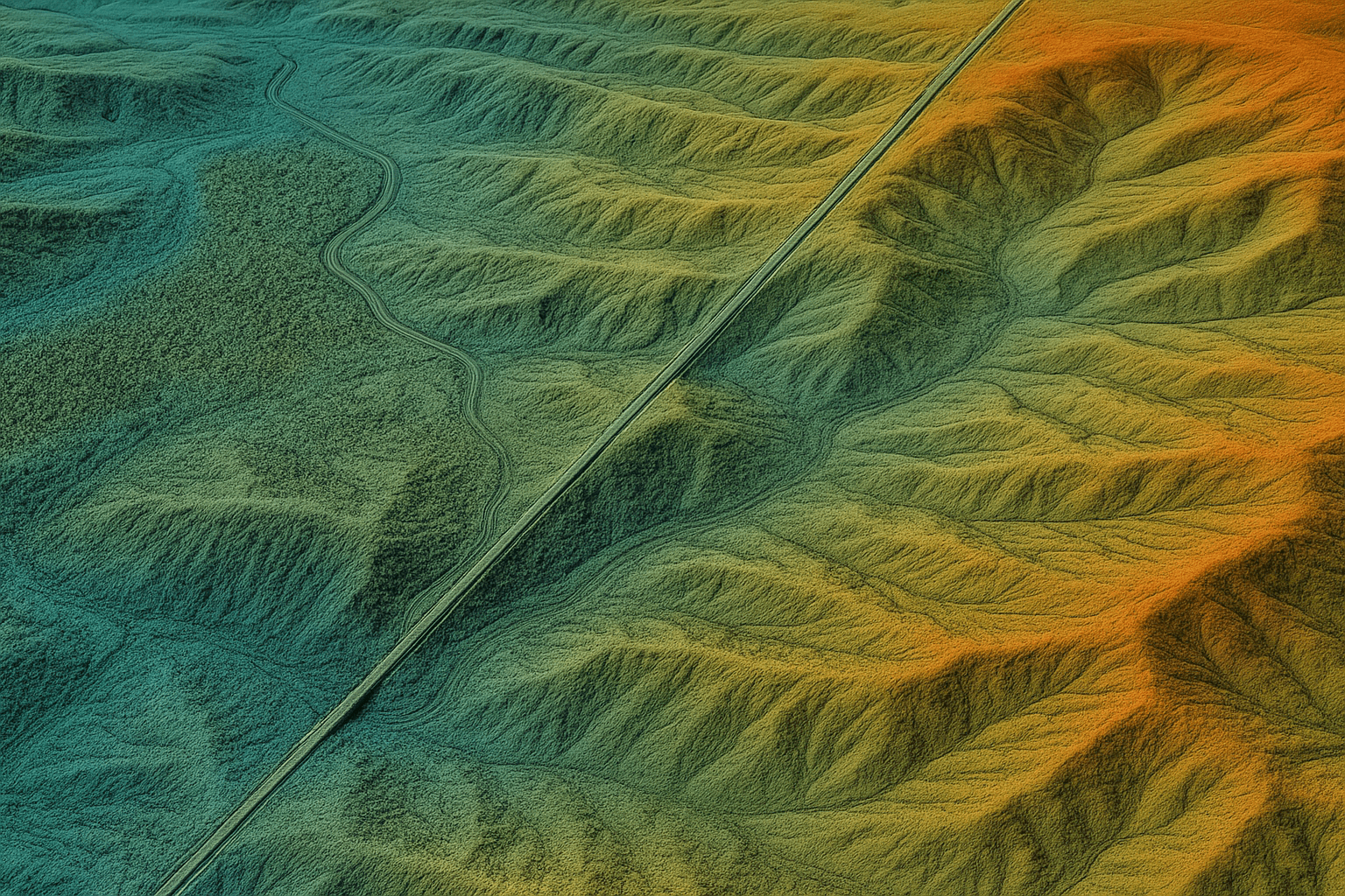
Civil Engineering and Infrastructure
Route selection for roads, railways and pipelines, slope and profile analysis, and cut-and-fill earthwork volumes. Pair with our land survey services.
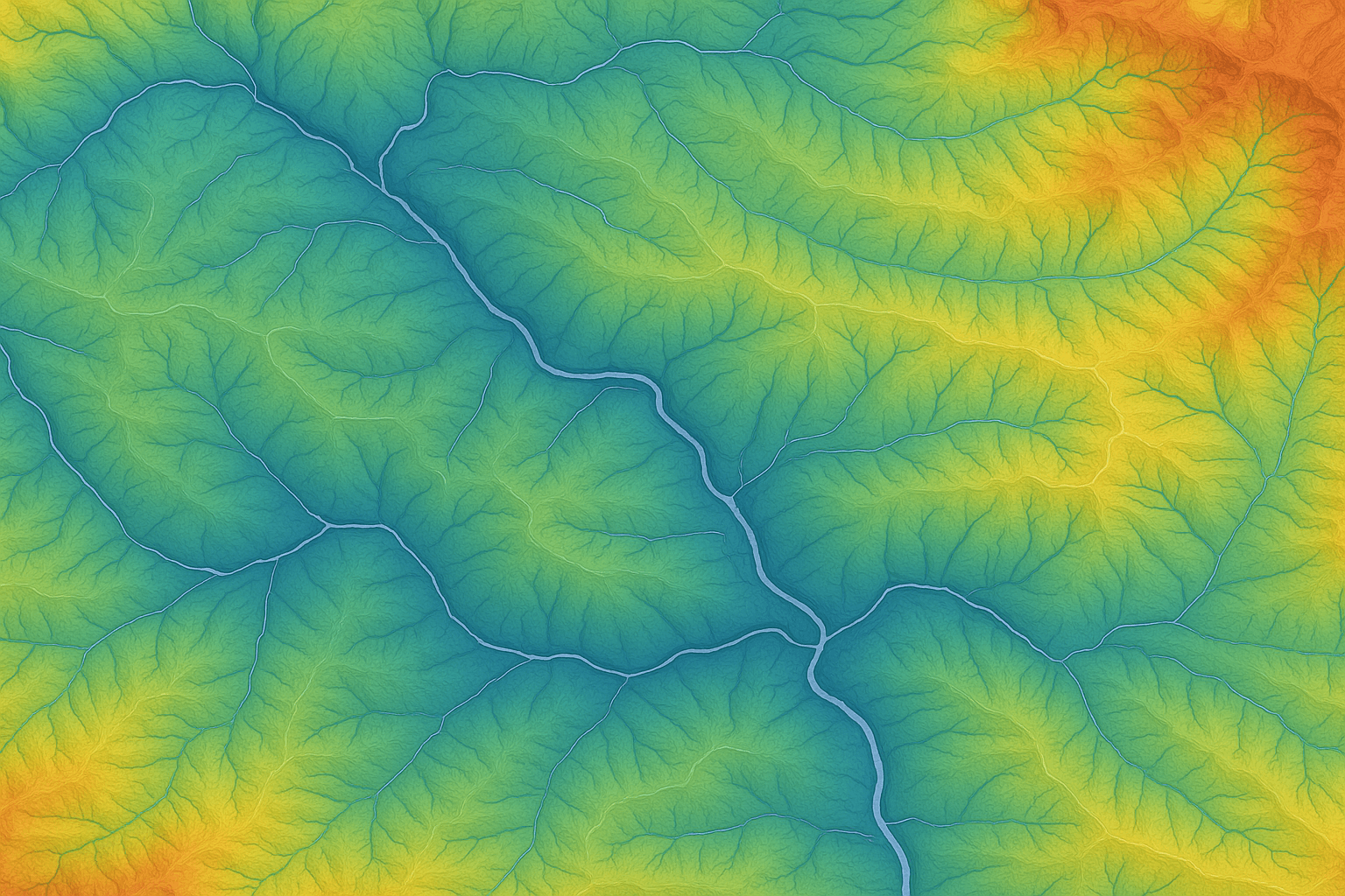
Watershed and Flood Modelling
Delineate drainage basins, simulate surface runoff and predict flood inundation zones from bare-earth DEM data.
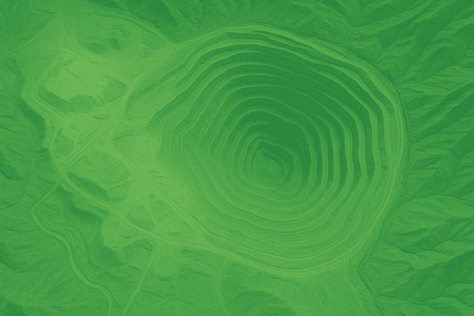
Mining, Oil and Gas
Geological structure mapping, well-site selection, overburden volumes and environmental impact assessments for mining and oil and gas.
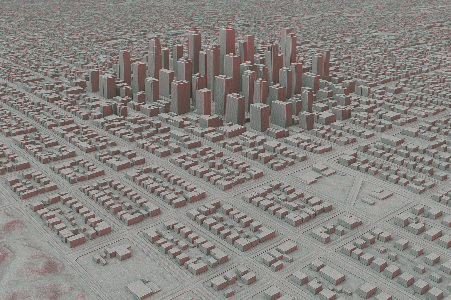
RF and Wireless Planning
Model signal propagation and transmitter placement with DSMs that map building and tree canopy obstructions.
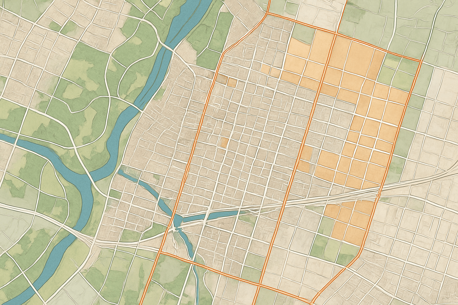
Imagery Orthorectification
Remove terrain distortion from satellite and aerial images so distances and areas are true to scale. Learn about orthorectification.
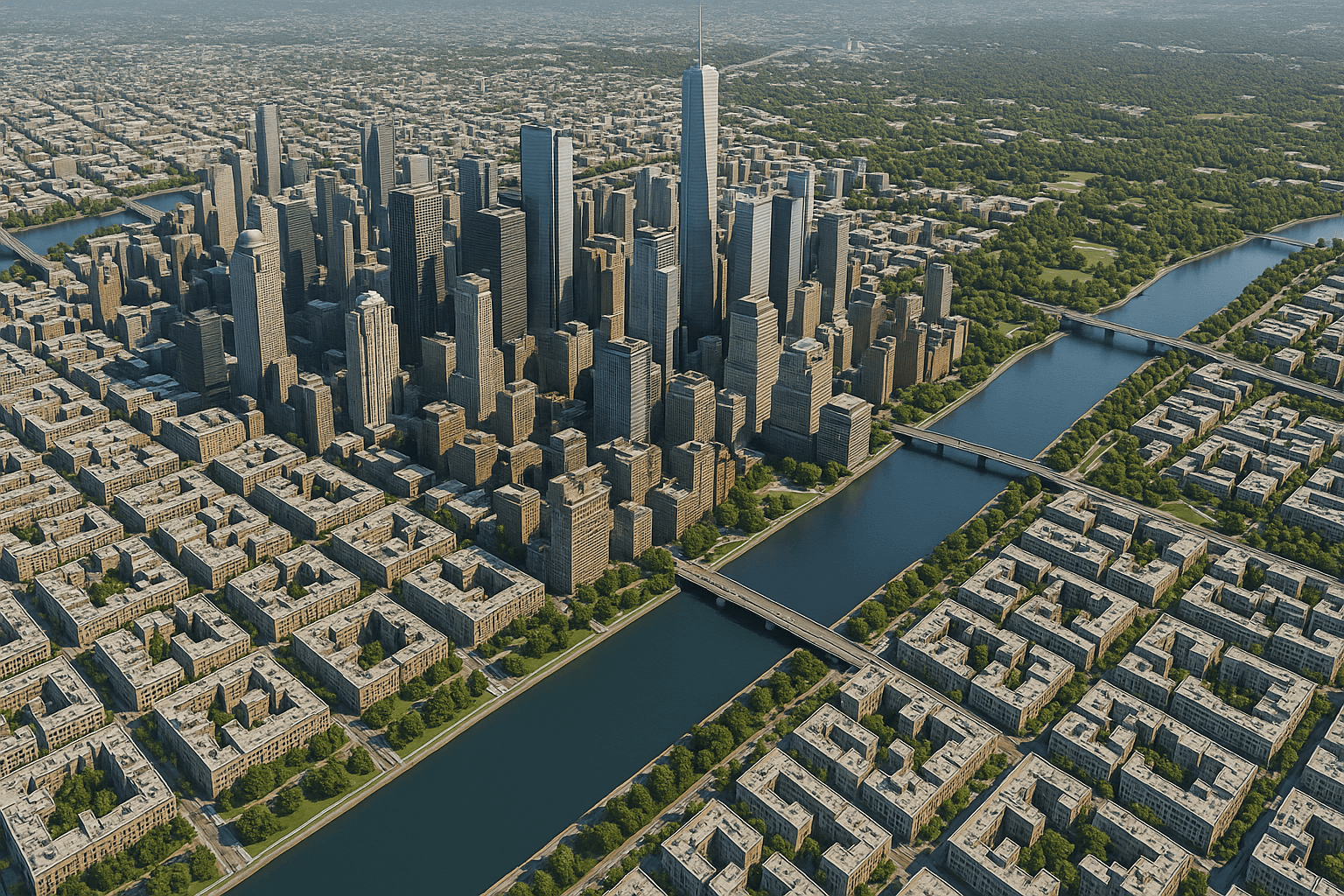
Cartography and Base Mapping
Produce topographic maps and accurate contour lines from reliable elevation data, and build 3D city models for urban planning.
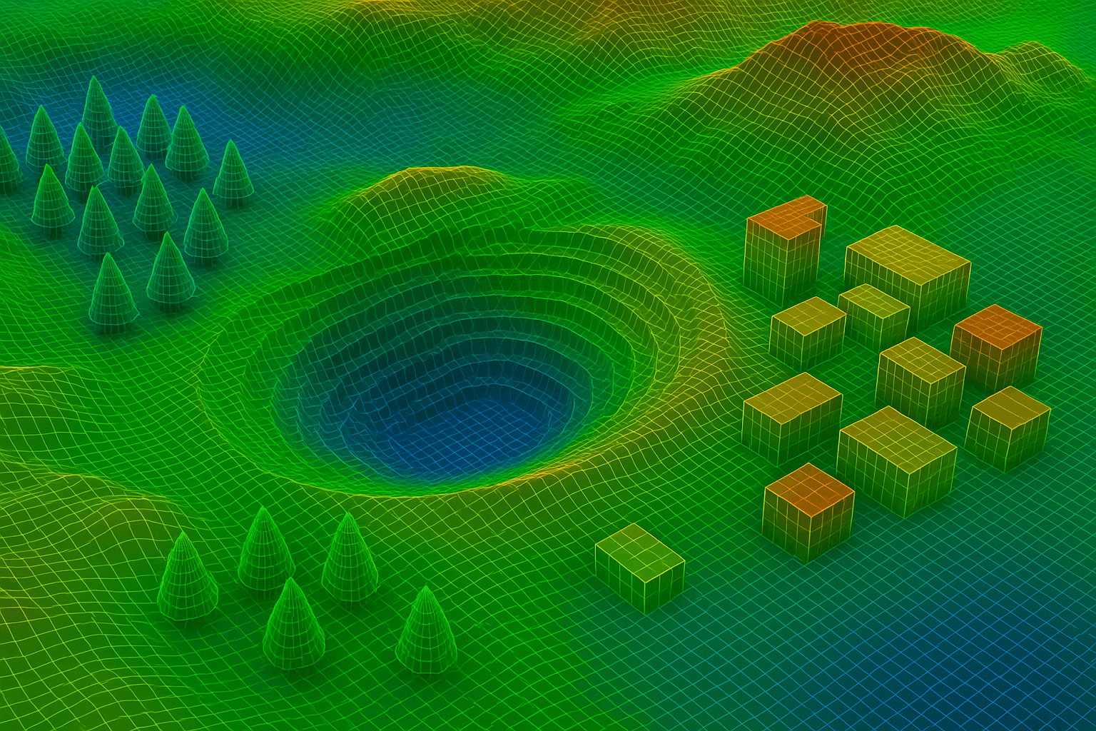
Simulation and Military Training
Build realistic virtual terrain for flight simulators, mission planning and urban training exercises from detailed 3D elevation data.
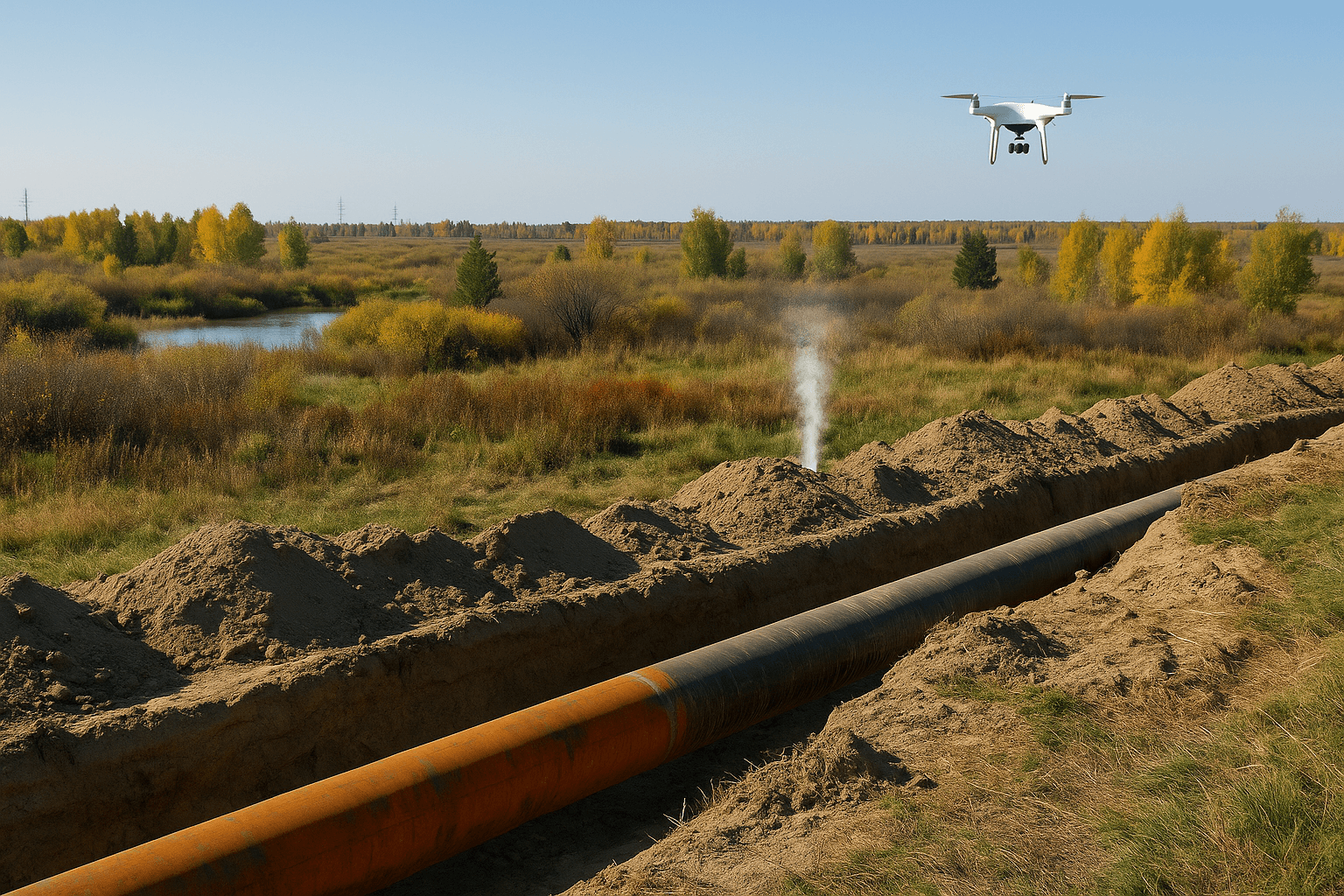
Utilities and Route Planning
Optimise pipeline, transmission line and road corridors by analysing slope, aspect and profiles to cut cost and environmental impact.
Environmental Impact Assessment
Model how a development will affect landscape, drainage and ecosystems, using baseline topography from before work begins.
How to order
How to Order DEM Images
Four simple steps from your area of interest to delivered DEM data.
1
Define Your Area of Interest
Send coordinates or a KML, KMZ or SHP file, or simply describe the location.
2
Free Consultation and Quote
We check archive stereo coverage against new satellite tasking and recommend the right product and spacing.
3
Processing and Quality Control
Stereo or InSAR processing, filtering to bare earth and QA validation to the ±3m RMSE standard.
4
Secure Delivery
Your DEM, DSM or DTM arrives by secure cloud link or hard drive, in your chosen format and projection.
Download DEM Images: Free or Commercial?
Free global DEMs are useful for regional studies, but their 30m cells are too coarse for most site design. Commercial satellite DEMs add detail and recent data.
SRTM
Free, about 30m spacing, near-global coverage
Copernicus DEM GLO-30
Free, 30m spacing, global coverage
ALOS World 3D (AW3D30)
Free, 30m spacing, global coverage
XRTech satellite DEM
2 to 10m spacing, ±3m RMSE, recent stereo data
Why XRTech
Why Choose XRTech Group for DEM Images?
More than just data: a reliable, efficient elevation data service built around your project.
01
Engineering-Grade Accuracy
DEM images built to ±3m vertical RMSE at 2 to 10m spacing, a reliable foundation for planning and design, and tighter still with ground control points.
02
Global Reach
Access to 130+ optical and radar satellites means we can produce consistent digital elevation models for almost any location, including remote regions.
03
Fast Delivery
Custom DEM data in under 21 days, and often sooner when suitable archive stereo imagery already covers your area.
04
Multiple DEM Solutions
Archive or new stereo tasking, optical or radar sources, and DEM, DSM, DTM or sub-meter LiDAR options to fit your budget and accuracy target.
05
Expert Consultation
Our geospatial specialists give a free, tailored recommendation for your project area and use case, so you order the right data the first time.
06
Trusted Across Sectors
Governments, NGOs and enterprises across the Middle East, Africa and beyond use our elevation data for infrastructure and environmental projects.
FAQ
DEM Data Questions Answered
Straight answers about digital elevation models, accuracy, downloads and ordering. Need something specific? Our team replies within 24 hours.
Ask Our Experts →
What is a digital elevation model (DEM)?
A digital elevation model is a raster grid where each cell holds the height of the bare ground, with buildings and vegetation removed. It is used for slope, drainage, flood, earthworks and terrain analysis in GIS and engineering software.
What is the difference between DEM, DSM and DTM?
A DEM shows bare earth. A DSM shows the top surface, including roofs and tree canopies. A DTM is a bare-earth model enhanced with breaklines and terrain features for engineering and cartography. Many projects use a DSM and DEM together.
How accurate are satellite DEM images?
XRTech satellite DEMs are produced at 2 to 10m grid spacing with around ±3m vertical RMSE. Accuracy depends on the stereo geometry, terrain and cloud cover, and improves when ground control points are available. Sub-meter LiDAR options are available for smaller sites.
Where can I download DEM images for free?
Free global DEMs include SRTM, Copernicus DEM GLO-30 and ALOS World 3D, all at about 30m spacing. They suit regional studies. For site design, volumes or detailed flood models, a commercial 2 to 10m satellite DEM gives much more detail.
How do I order DEM images from XRTech Group?
Send your area of interest as coordinates or a KML, KMZ or SHP file. We check archive stereo coverage against new tasking, send a quote, process and quality-check the DEM, then deliver it by secure cloud link or hard drive.
What formats and projections is DEM data delivered in?
DEM data is delivered as GeoTIFF or IMG rasters, with SHP and DWG for contours and vectors, in WGS84, UTM or a custom local coordinate system. Files load directly into ArcGIS, QGIS, AutoCAD and Civil 3D.
How long does it take to get a custom DEM?
Custom DEMs are delivered in under 21 days, including for large or remote regions. Projects that can use existing archive stereo imagery are often faster than new satellite tasking.
How much does DEM data cost?
DEM pricing depends on area, grid spacing, accuracy and whether archive or new stereo imagery is needed. Stereo imagery costs about twice a single image and tri-stereo about three times. Send your area of interest for a free, no-obligation quote.
Get started
Order Accurate DEM Data for Your Project
Send your area of interest and we will recommend the right elevation model, spacing and data source. We respond in under 24 hours, and a free sample can be included.