Precision 3D Terrain Data Solutions: Digital Terrain Models (DTM) by XRTech Group
XRTech Group delivers industry-leading Digital Terrain Models (DTM), transforming complex terrain into accurate, engineering-grade 3D intelligence. Leveraging a vast constellation of 130+ high-resolution satellites and advanced AI-powered processing, we provide foundational elevation data essential for construction engineering, land development, hydrology, and cartographic work worldwide. We ensure your most critical projects move forward with precision, speed, and confidence.
Defining the Precision: What is a Digital Terrain Model (DTM)?
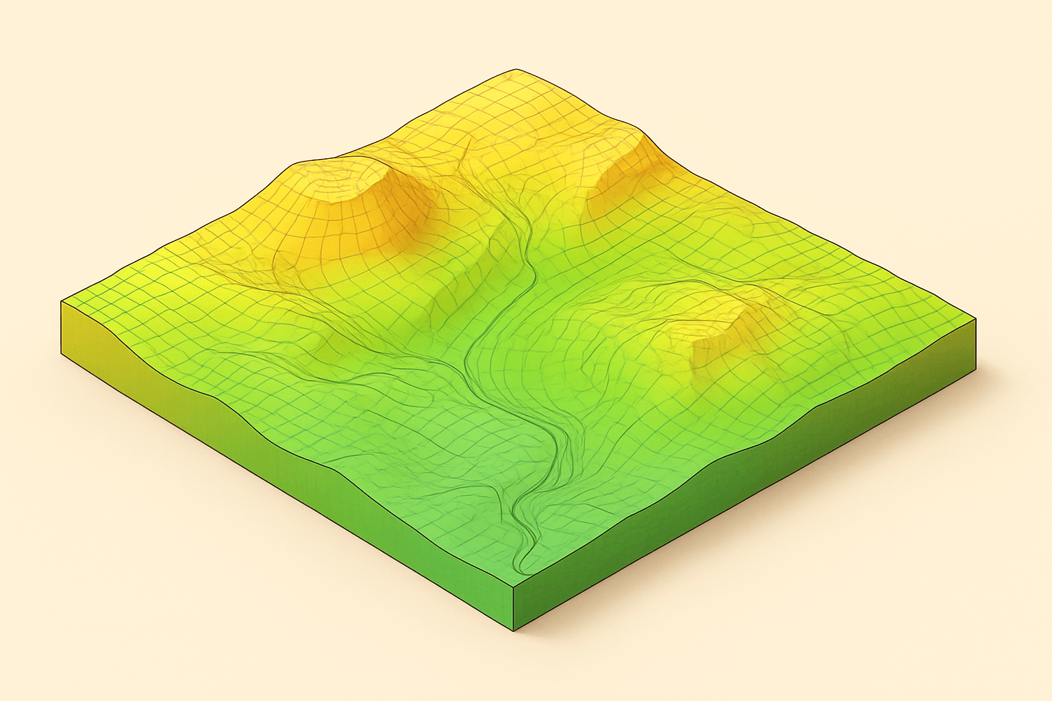
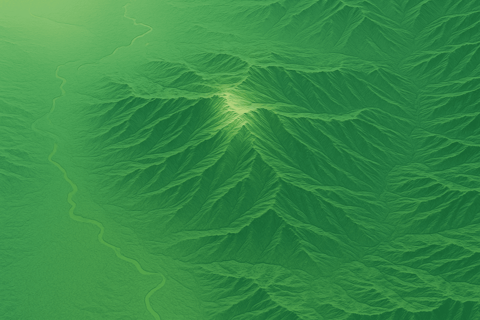
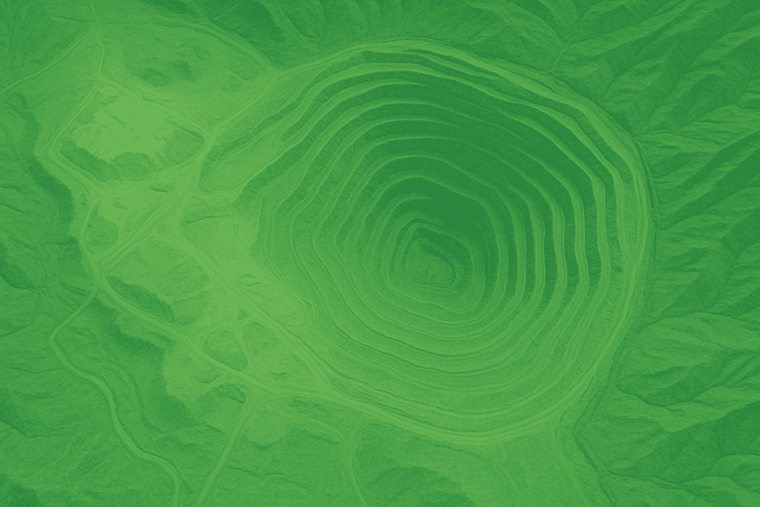
The Digital Terrain Model (DTM) is the most refined and detailed representation of the bare-earth surface available. Unlike simpler elevation models that capture the highest point (including buildings and trees), the DTM focuses solely on the morphology of the ground beneath all features.
What the DTM Represents
The DTM is the foundation for most advanced engineering and cartographic work. It depicts the terrain itself, with the influence of vegetation, buildings, and infrastructure intentionally removed, ensuring the data reflects the true ground surface.
Bare-Earth Focus
The DTM specifically models the bare-earth terrain.
Detailed Morphology
It often includes characteristic terrain features and breaklines.
Suitability
DTM images are suitable for engineering, hydrology, and land development.
DTM Creation Engine: Satellite Data and Geospatial Processing
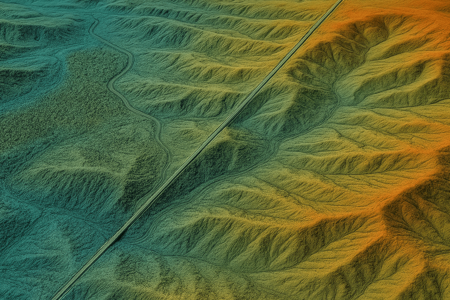
The creation of DTMs involves meticulous data collection using advanced satellite sensors, followed by rigorous processing to filter non-ground features and ensure engineering-grade accuracy.
A. High-Accuracy Satellite Inputs
DTMs require precise inputs, typically derived from stereo or radar acquisition from XRTech Group’s powerful satellite constellation.
Stereo Imagery
DTMs are built using data from high-resolution satellites designed for stereo acquisition.
GF-7 Satellite
This 0.65m/px stereo mapping satellite is designed to generate 1:10000 stereo mapping data, crucial for high-accuracy elevation measurements.
ZY-3 Constellation
China's first civilian stereomapping constellation, its primary mission is creating 1:50,000 DEM databases for resource mapping.
SAR Integration
Data from SAR sensors (like GF-3 SAR at 1m/px or LT-1 SAR at 3m/px) is integrated for precision across applications, ensuring data capture in any weather.
Input Resolution
The underlying input imagery ranges from sub-meter resolution up to 0.65m/px, ensuring detailed extraction of terrain features.
B. Processing, Refinement, and Software Solutions
DTMs are classified as Value-Added Products and are refined using state-of-the-art software tools and solutions.
1. Software Tools
XRTech Group offers software tools for high-precision, automated processing. These include functionalities like adjustment, orthorectification, fusion, blending, color correction, and mosaicking.
2. Orthorectification Foundation
DTMs serve as the necessary elevation model to perform orthorectification, the process of correcting geometric distortions in satellite or aerial imagery. This creates true-to-scale Digital Orthophoto Maps (DOM), which are pixel-perfect and essential for accurate base mapping.
3. Data Mosaicking
Tools are used for mosaicking—stitching multiple satellite images together to create large, high-resolution maps. This is perfect for detailed geospatial studies covering wide areas.
Engineering-Grade DTM Specifications and Delivery
XRTech Group's DTM services are built on uncompromising standards for precision and efficiency, meeting the requirements of complex engineering projects.
| Specification | Details |
|---|---|
| Vertical Accuracy (RMSE) | ±3m vertical RMSE (Root Mean Square Error), providing the reliability required for detailed planning. |
| Resolution (Spacing) | 2–10 meter spacing for the elevation points. |
| Input Imagery | Derived from sub-meter resolution high-resolution satellite imagery. |
| Delivery Time | Custom DTM data delivered in under 21 days, even for large or remote areas. |
| Compatible Formats | GeoTIFF, IMG, SHP, and DWG, ensuring seamless integration into GIS/CAD workflows. |
| Projections | Flexible support for WGS84, UTM, or custom coordinate systems. |
| Delivery Method | Secure delivery via cloud link or physical HDD. |
Applications Powered by DTM Services
The precise bare-earth information provided by DTMs is critical across strategic planning and operational safety modules.
A. Civil Engineering and Construction
DTMs provide the necessary topographical insight to ensure structural integrity and cost efficiency:
- Route Optimization: DTM analysis helps optimize pipeline, transmission line, and road corridors by analyzing terrain slope, aspect, and profiles to minimize cost and environmental impact.
- Volume Calculation: Enables precise calculation of cut-and-fill volumes for site preparation and construction engineering.
- Infrastructure Planning: Used to plan routes for roadways, utilities, and other corridors.
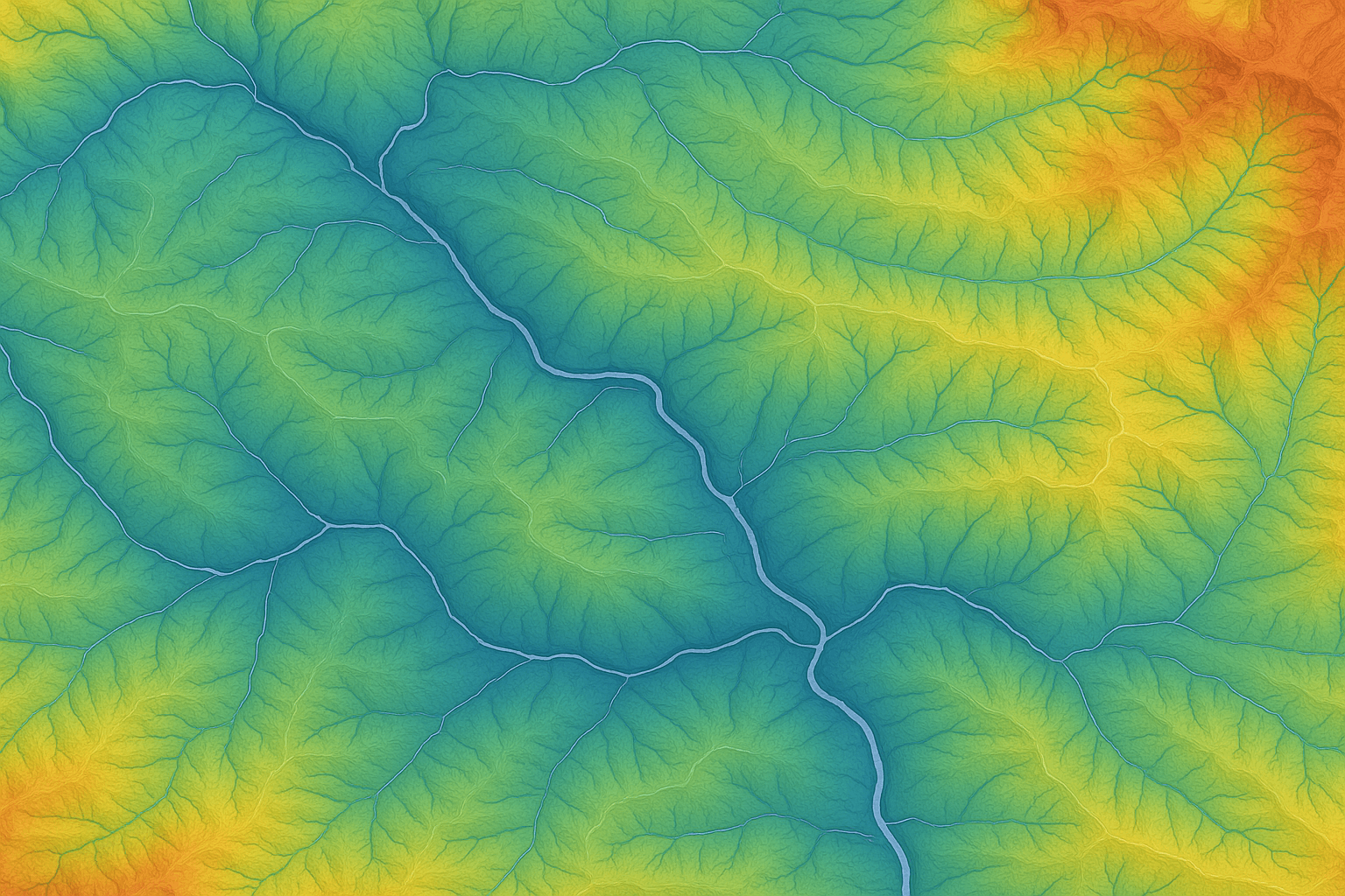
B. Hydrology and Water Resources Management
The DTM's focus on bare-earth morphology makes it indispensable for water resource studies:
- Watershed Modeling: Used to analyze water flow and delineate watersheds.
- Flood Control: Provides the baseline terrain data for modeling potential flood zones, essential for Flood Control and Water Resource Management.
- Environmental Monitoring: Supports detailed modeling for complex water systems, such as the Yellow River Basin, enhancing hydrological analysis.
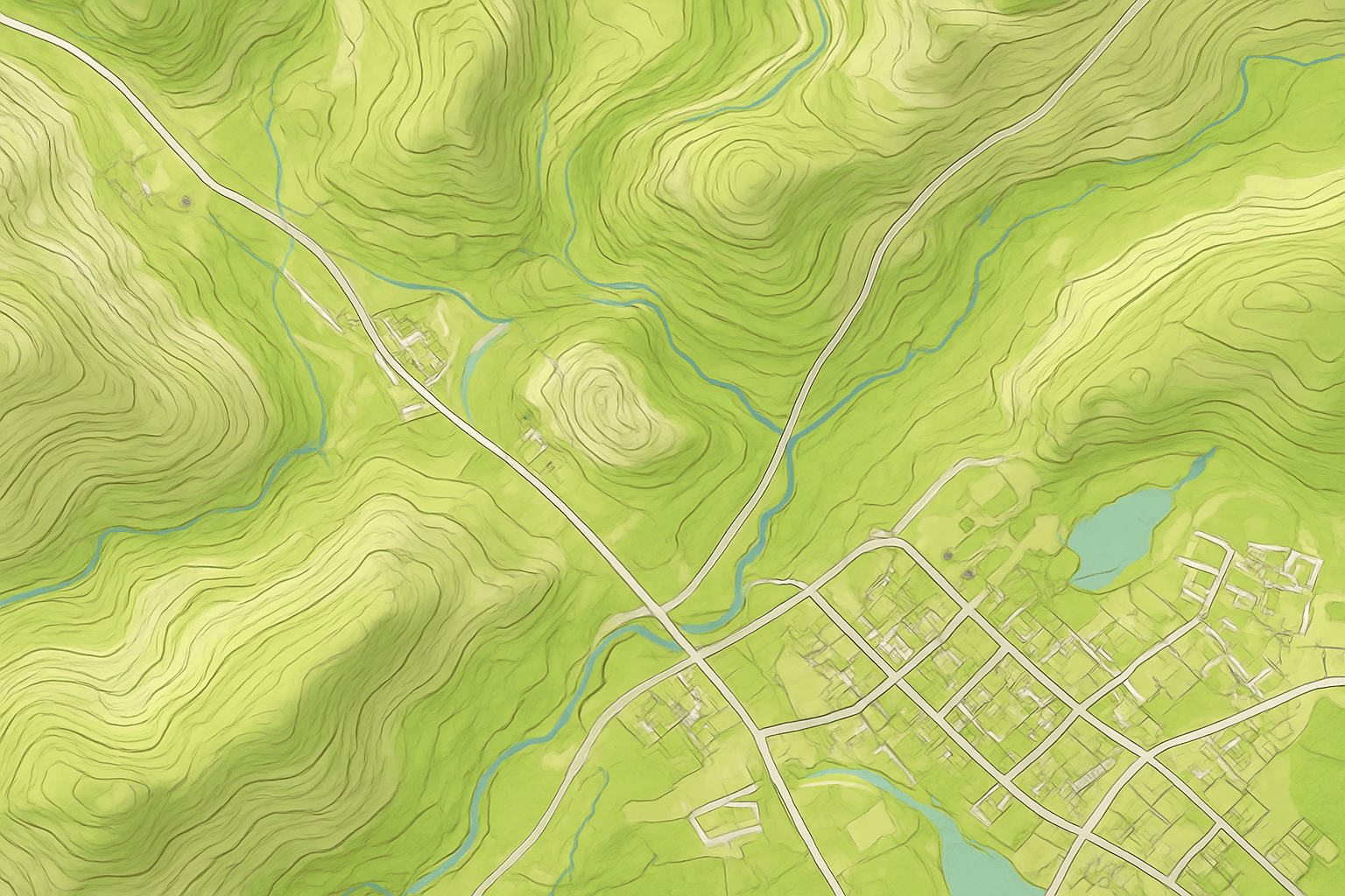
C. Cartography and Land Surveying
DTMs are the fundamental data source for accurate mapping products:
- Topographic Maps: Used to produce high-quality topographic maps and generate accurate contour lines.
- Land Development: DTMs are suitable for land development and land surveying projects.
D. Defense and Simulation
DTM data provides the necessary foundation for realistic scenario planning:
- Simulation & Training: Used to create realistic virtual environments for flight simulators, mission planning, and urban training exercises.
- Targeting: Supports military intelligence by providing precise terrain data for strategic operations.
E. Mining and Natural Resources (DTM in Exploration)
DTMs are used to understand the landscape before extraction activities begin.
- Terrain Intelligence: DTMs deliver precise surface analysis to evaluate terrain, estimate overburden, and detect geohazards before on-site work.
- Geological Surveys: Used for conducting geological surveys and planning well sites for mining and exploration and oil and gas operations.
Why Choose XRTech Group for DTM Services
XRTech Group provides a comprehensive, reliable, and efficient DTM solution tailored to the highest engineering standards, backed by logistical and technological advantages.
1. Uncompromising Accuracy and Engineering-Grade Reliability
Our DTMs are trusted by industry leaders because they are built to demanding specifications.
Guaranteed Vertical Accuracy
We ensure ±3m vertical RMSE, which is required for detailed engineering and planning.
High Accuracy Outputs
Our geospatial outputs meet demanding CE90 and RMSE specs, ensuring reliable and actionable results.
Non-U.S. Provider Advantage
As a non-U.S. high resolution satellite imagery provider, we avoid export control bottlenecks, giving you faster access to data.
2. Speed, Global Reach, and Seamless Integration
We guarantee the necessary speed and global coverage required for global operations.
Rapid Delivery
Receive custom DTM data in under 21 days. Our high-resolution Earth Observation imagery is often delivered in under 7 days. Clients report receiving data 2x faster than Maxar or Airbus vendors.
Global Coverage
Access to a powerful constellation of 130+ satellites ensures we can generate high-quality DTM images for any location on Earth.
Seamless Compatibility
Data is delivered in GeoTIFF, SHP, DWG, and UTM, ensuring seamless integration with your existing GIS or CAD workflows.
3. Advanced Technology and Support Infrastructure
We leverage state-of-the-art infrastructure to maximize data reliability and delivery.
SAR Capability
We integrate SAR data (GF-3 SAR, LT-1 SAR) to ensure all-weather, day-and-night imaging for continuous monitoring.
AI Integration
Our services leverage advanced AI modeling and geospatial solutions to enhance data processing and derive actionable insights.
Trusted Partnership
XRTech Group is the global distributor for China Siwei Surveying and Mapping Technology Co., Ltd, leveraging access to over 130+ partner satellites.
Flexible Pricing
We offer competitive pricing.
Ready to Elevate Your Projects with Engineering-Grade DTM Data?
Contact XRTech Group today to explore custom Digital Terrain Model (DTM) services tailored to your project needs!
Frequently Asked Questions
Find answers to common questions about our Digital Terrain Model (DTM) services.
Q1: What exactly is a Digital Terrain Model (DTM), and what does it represent?
The Digital Terrain Model (DTM) is a detailed representation of the bare-earth surface, modeling the morphology of the ground with all natural and man-made features removed. DTM images are suitable for engineering, hydrology, and land development applications.
Q2: What is the guaranteed vertical accuracy and spacing of XRTech Group's DTM data?
XRTech Group provides DTM data with a guaranteed vertical accuracy of ±3m vertical RMSE (Root Mean Square Error). The elevation data is available at 2–10 meter spacing.
Q3: How fast can XRTech Group deliver custom DTM data for a project?
Custom DTM data is delivered in under 21 days for large or remote areas. The raw high-resolution Earth Observation (EO) imagery, which is used to generate the DTM, is often available in under 7 days.
Q4: How is DTM data utilized in construction and civil engineering projects?
DTM data is crucial for planning infrastructure projects. It is used to calculate cut-and-fill volumes and to design optimal routes for roadways, utilities, and other corridors.
Q5: What specific satellite resources are used to create high-accuracy DTMs?
DTMs are derived from high-resolution optical and SAR satellite imagery. XRTech Group utilizes its powerful 130+ satellite constellation for the data sources, including stereo mapping satellites like GF-7.
Q6: What file formats are supported for the delivery of DTMs to ensure workflow integration?
DTM data is delivered in industry-standard formats you already use, including GeoTIFF, IMG, SHP, and DWG. This ensures seamless integration into existing GIS or CAD workflows.
Q7: How does DTM support utility and route planning?
DTMs are used in Utilities & Route Planning to optimize pipeline, transmission line, and road corridors. This is achieved by analyzing terrain slope, aspect, and profiles to minimize costs and environmental impact.
Q8: Is DTM data used for exploration or geological studies in the mining sector?
Yes, DTM data is essential for Mining, Oil & Gas Exploration. It helps conduct geological surveys, plan well sites, and manage environmental impact by providing precise terrain data.
Q9: How does XRTech Group's DTM accuracy compare to other providers?
XRTech Group’s DTM data provides a high resolution of 2–10 meters and a vertical accuracy of ±3m vertical RMSE. This level of precision is necessary for all industries, including engineering and land development.
Q10: Can DTM data be used to enhance the accuracy of other satellite images?
Yes, DTM data is used for the Orthorectification of Imagery. This process corrects geometric distortions in satellite or aerial imagery, creating true-to-scale orthophotos for accurate measurements.