Get Earth Monitoring + Remote Sensing Solution From The Best Satellite Imaging Company
Trusted by governments, planners, and responders across Middle East, Africa & Across The World.
We respond in under 24 hours. Free satellite imagery samples can be included.
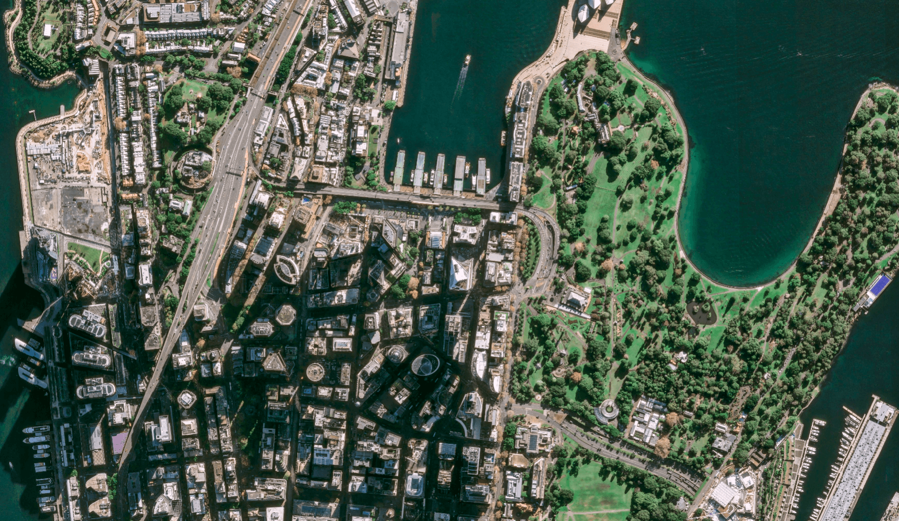
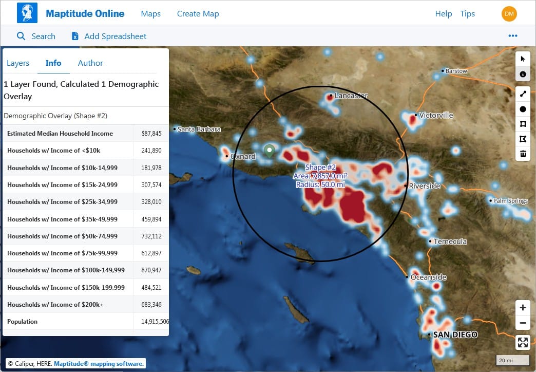
Advanced Satellite Remote Sensing and Monitoring for Daily Decision-Making and Precise Planet Mapping
At XRTech Group, we specialize in advanced satellite imagery, planet monitoring, and satellite remote sensing to deliver actionable insights for better daily decision-making. Our remote sensing solutions empower businesses and governments worldwide to make smarter choices and implement sustainable strategies while addressing critical challenges across industries.
With expertise in satellite imaging, planet mapping, and real-time satellite data analytics, we provide tailored, high-resolution data that helps organizations track changes, monitor resources, and optimize operations.
As leaders in satellite technology, we drive innovation through AI-powered, satellite-driven solutions, focusing on industries like agriculture, energy, and urban planning. By leveraging cutting-edge tools, we help you unlock the full potential of location-based data, ensuring precise, reliable insights for a safer and more efficient future.
Images
Sensors
Providers
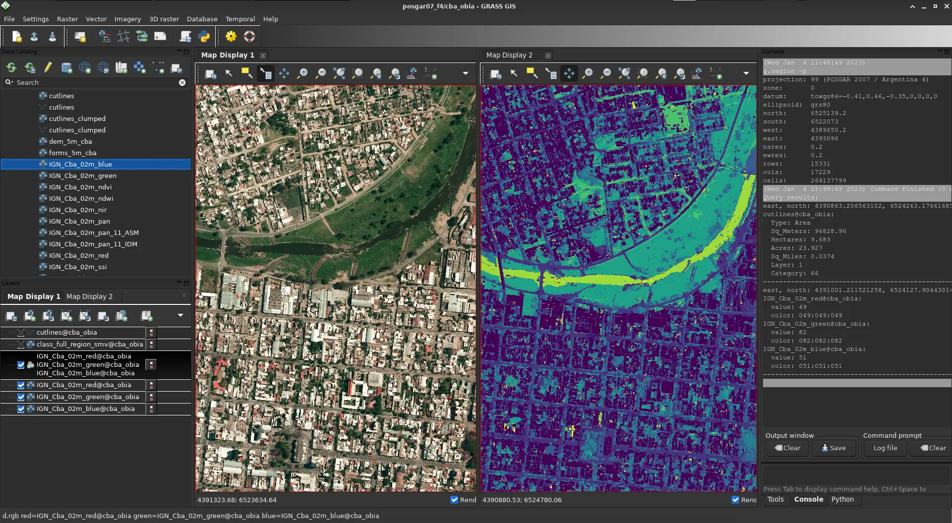
What You Get
Real-Time Insight. Actionable Results. With High-Resolution Satellite Imagery & Remote Sensing
Get a firsthand look at the power of our Earth Observation, satellite remote sensing and high resolution satellite imagery data delivery in critical situations. In the example below — Derna, Libya, just 24 hours after devastating floods — we delivered more than just satellite images. We enabled action.
Precisely identified flood extents to support relief operations.
Helped authorities plan safe zones and allocate emergency resources effectively.
Our high resolution satellite imagery & EO data was delivered within 24 hours — while others were still preparing quotes.
Why Teams Switch to XRTech
Buy Satellite Monitoring & Remote Sensing that Offers Precision, Speed, and Freedom – All in One Platform
Teams around the world are choosing XRTech for Earth Observation data, remote sensing and high resolution satellite imagery because we go beyond imagery — we deliver mission-ready solutions built for real-world demands.
Access to 130+ Satellites
A powerful satellite constellation including optical, SAR, stereo, and hyperspectral satellite sources ensures coverage across any terrain or condition.
Fast Turnaround Times
Get EO satellite imagery in under 7 days and DEMs in under 21 days, even for large or remote areas.
High Accuracy Satellite Imagery Outputs
Enjoy sub-meter satellite imagery resolution with CE90 and RMSE specs that meet even the most demanding project standards.
Compatible Imagery Data Formats
Satellite imagery data delivered in formats you already use — GeoTIFF, SHP, DWG, and UTM — for seamless integration with your GIS or CAD workflows.
No Export License Delays
As a non-U.S. high resolution satellite imagery provider, we avoid export control bottlenecks, getting your data to you faster and with fewer restrictions.
Flexible Licensing
Our high resolution satellite imagery is designed to match your operational realities, whether you're mapping a floodplain or planning national infrastructure.
Built for Projects Like Yours
Our Satellite Imagery & Remote Sensing is Proven Across Sectors. Trusted Around the World.
XRTech Group’s High Resolution Satellite Imagery and Earth Observation capabilities are trusted by governments, NGOs, and enterprises to support real, high-impact work across continents and industries. Our solutions are not theoretical — they’re already making a difference.
Flood & Disaster Mapping
Rapid-response EO high resolution imagery enabled critical response efforts in Libya and Southeast Asia, supporting evacuation, assessment, and recovery.
National Infrastructure DEMs
Delivered high-accuracy Digital Elevation Models across Africa to guide large-scale infrastructure and transportation planning.
Smart City Zoning
Enabled forward-thinking urban planning in China and Vietnam with high-resolution satellite imagery data tailored for zoning, mobility, and growth projections.
Agricultural Monitoring & Subsidy Validation
Supported crop health tracking and subsidy distribution accuracy in India and Nigeria, combining EO data and high resolution satellite imagery with local insights.
Border Surveillance
Leveraged SAR and optical satellite imagery fusion to provide persistent, all-weather monitoring of sensitive border regions.
Water Basin Modeling
XRTech Group satellite imagery delivered detailed modeling for complex water systems like the Yellow River Basin, enhancing hydrological analysis and water resource management.
Specs Snapshot
Satellite Remote Sensing Engineered for Precision. Delivered for Productivity.
Sub-meter resolution high-resolution satellite imagery with support for 8-bit, 11-bit, and 16-bit depth — ortho-ready and optimized for analysis.
DEM images available at 2–10 meter spacing with ±3m vertical RMSE, suitable for engineering, hydrology, and land development.
Satellite imagery delivered in industry-standard formats: GeoTIFF, IMG, SHP, DWG, ready for GIS, CAD, or modeling workflows.
Receive your satellite imagery data via secure cloud delivery or physical HDD, depending on your project needs.
Flexible support for WGS84, UTM, or custom coordinate systems.
Simple, project-wide licensing that’s publication-friendly and built for collaborative teams.
Pricing Plans
Our Flexible High-Resolution Satellite Imagery Pricing Built to Match your Project Scale.
Choose a plan that fits your needs — from rapid response satellite imagery to full-scale DEM + analysis packages. No hidden fees, no license confusion.
51-80cm | Applicable up to 4 bands
- Archive Image (>90 days):
- New Tasking Image:
31-50cm | Applicable up to 4/8 Bands*
- Archive Image (>90 days):
- New Tasking Image:
30cm | Applicable up to 4 Bands
- Archive Image (>90 days):
- New Tasking Image:
30-Day Money-Back Guarantee
Zero risk. Full confidence. We stand by the quality of our satellite imagery, satellite data and service. If you’re not satisfied with your deliverables within 30 days, we’ll refund your project — no questions asked.
Solutions By XRTech Group: Satellite Remote Sensing & Planet Imaging
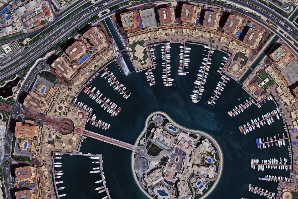
High-Resolution Satellite Data
XRTech Group delivers high-resolution satellite remote sensing to support diverse industries, including agriculture, energy, urban planning, and environmental monitoring. This data ensures precise mapping, monitoring, and analysis to drive efficiency and sustainability.
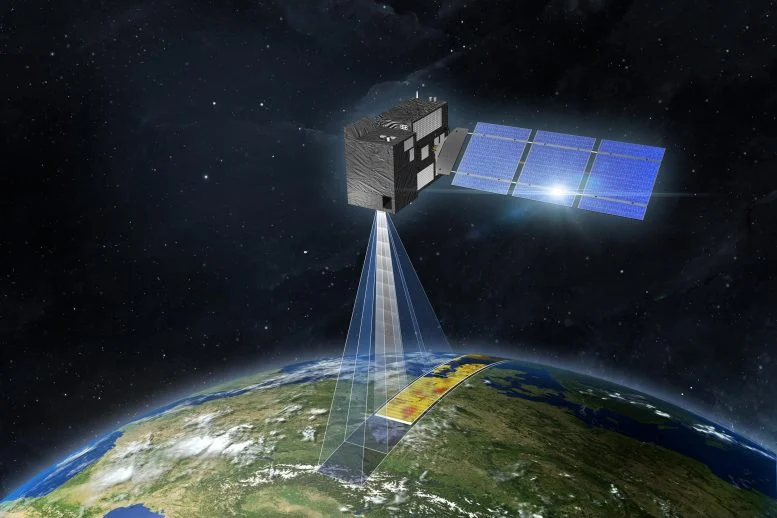
Real-Time Planet Monitoring
Our satellite planet imaging solutions enable real-time observation of Earth’s dynamic changes. From weather monitoring to disaster response, our advanced tools provide accurate, timely insights to address critical challenges.
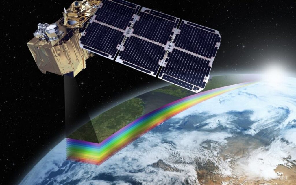
Remote Sensing for Informed Decision-Making
With our remote sensing capabilities, we help organizations analyze land use, track deforestation, monitor resources, and detect anomalies. This empowers businesses to make smarter, data-driven decisions.
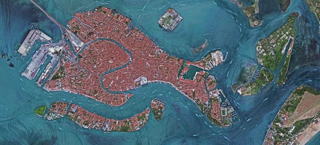
Satellite Mapping & Survey for Strategic Planning
We provide detailed satellite remote sensing mapping solutions that aid in urban planning, infrastructure development, and environmental management. Our mapping provide clarity and accuracy for long-term strategies.
Customized Geospatial Solutions
At XRTech, we tailor our satellite solutions to meet the unique needs of each client. Whether it’s precision agriculture, pipeline monitoring, or smart city development, we offer bespoke services powered by cutting-edge satellite technologies.
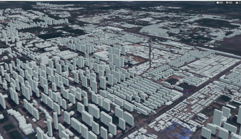
AI-Powered Satellite Analytics
By integrating AI with satellite imaging, XRTech enables advanced data processing for predictive analysis, crop yield estimation, and resource optimization, ensuring better results in less time.
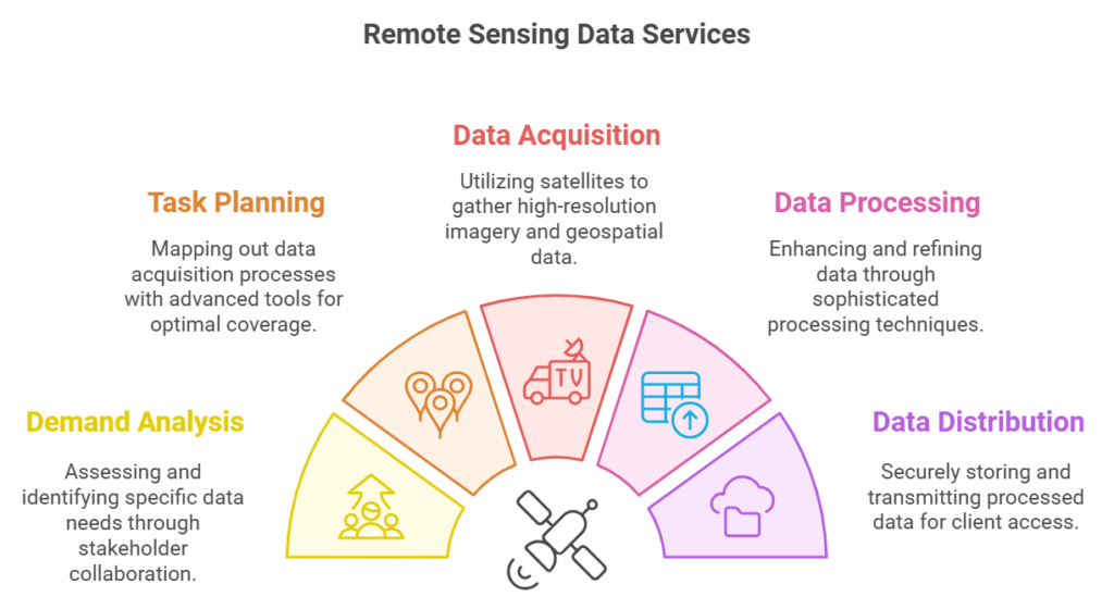
Latest Satellite Imagery
Products & Services Offered by XRTech Group Remote Sensing Satellite
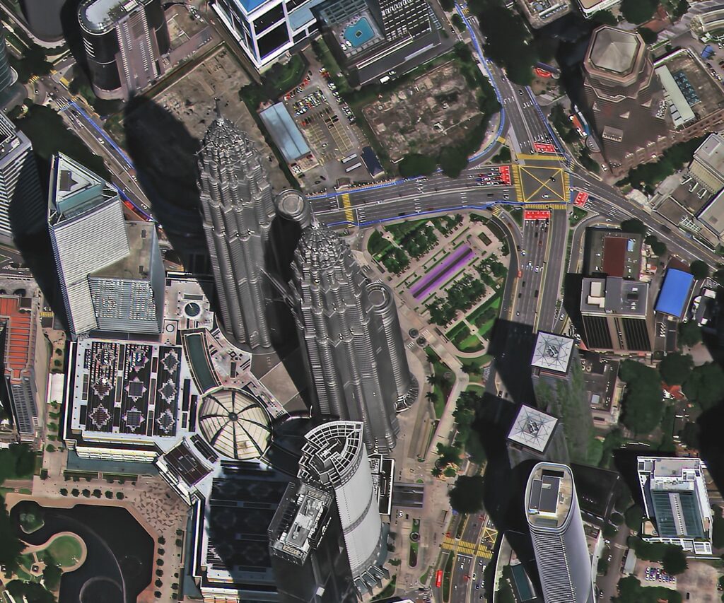
Satellite Imaging Products
Discover XRTech Group’s cutting-edge satellite remote sensing solutions, designed to deliver high-resolution optical and radar imagery for industries such as urban planning, agriculture, defense, and environmental monitoring. Our advanced satellite imaging services provide accurate, actionable data to meet all geospatial requirements. Offering unparalleled insights into ground and maritime activities, our satellite imagery excels in resolution, revisit frequency, spectral range, precision, and access to historical archives, empowering innovation and effective problem-solving.
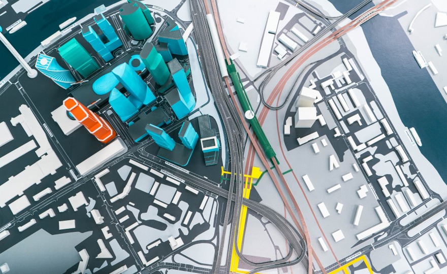
Value-Added Products
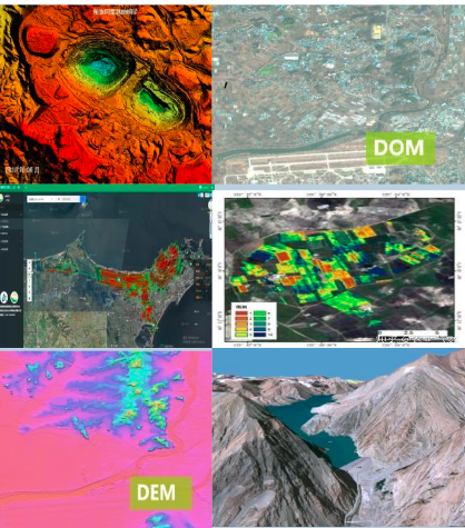
Enhance your projects with XRTech’s innovative satellite imagery value-added products, including 3D models, Digital Surface Models (DSM/DEM), and Digital Orthophoto Maps (DOM). Leverage our high-resolution imaging to unlock deeper insights and streamline decision-making processes.
Satellite Remote Sensing Applications
Unlock the potential of remote sensing applications with XRTech Group’s advanced solutions, designed to support a wide range of industries including agriculture, urban planning, defense, and environmental management. With our precision imagery and analytics, we empower businesses to make informed decisions, optimize operations, and drive sustainable growth through real-time insights and data-driven solutions.
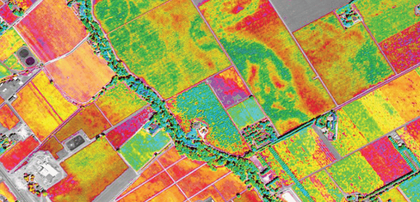
Satellite Data Services
XRTech Group offers comprehensive satellite data services that enable seamless integration of high-resolution satellite imagery into your GIS systems. Our services provide real-time and archive data collections from a diverse range of satellite constellations, ensuring precise, timely, and actionable geospatial information. Whether you’re involved in urban planning, agriculture, environmental monitoring, or disaster management, our satellite data services deliver the accuracy and flexibility needed for effective decision-making. With advanced data processing capabilities, we ensure that you have the right insights, whenever you need them, to drive innovation and efficiency.
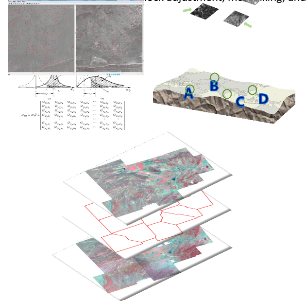
Software Tools & Solutions
XRTech Group offers advanced software tools and solutions that provide high-precision, automated processing for satellite imagery and geospatial data. Our suite of tools includes functionalities like adjustment, block adjustment, orthorectification, fusion, blending, color correction, and mosaicking, tailored to meet specific user needs. These solutions ensure seamless integration of satellite data into your workflows, enabling efficient and accurate processing for applications across urban planning, agriculture, environmental monitoring, and more. With XRTech Group’s software tools, you can enhance the precision, quality, and usability of satellite imagery for better decision-making.
What Our Happy Clients Says About Our Satellite Imeagery Solutions
Applications of XRTech Group's Satellite Remote Sensing Solutions
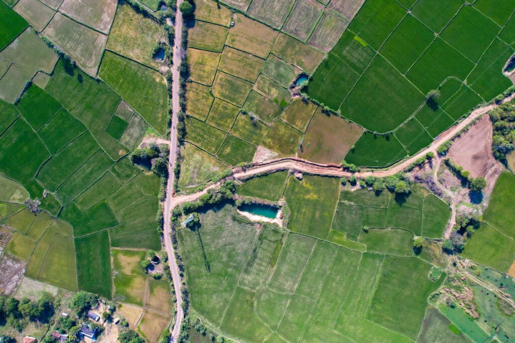
Agriculture
China Siwei leverages cutting-edge satellite remote sensing and AI technologies to revolutionize agricultural management. Our solutions provide comprehensive monitoring across the entire farming cycle, ensuring precision agriculture and sustainable resource management.
Use Cases
- China’s Wheat Belt: Monitoring crop health and predicting yield across vast agricultural regions using multi-temporal satellite imagery and AI models.
- Soil Moisture Monitoring in Henan Province: Enhancing irrigation efficiency through real-time soil moisture data, leading to improved crop yields.
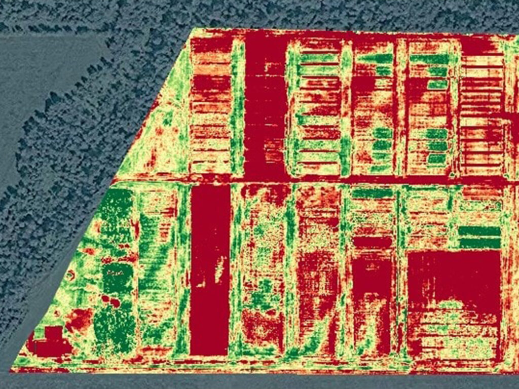
Crop Monitoring & Yield Estimation
Multi-source satellite data enables real-time monitoring of crop growth, health, and maturity. Spectral analysis is used to estimate biomass, monitor soil moisture, and assess crop yield with up to 85% accuracy at the county level.
AI-powered growth management: Detect and analyze non-grain land changes, and classify crop types with accuracy exceeding 90%.

Soil and Fertility Monitoring
Remote sensing for soil moisture and fertility monitoring provides accurate data on soil health, supporting effective irrigation and fertilization strategies.

Pest and Disease Management
AI-driven models detect and classify agricultural risks, enabling timely interventions and reducing crop loss. The accuracy of these models can reach over 90% in specific scenarios.
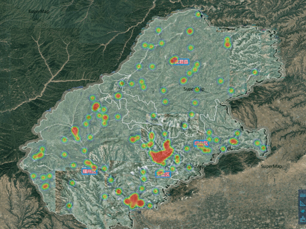
Meteorological and Disaster Early Warning
Integrated satellite data for real-time weather monitoring and early warning systems help mitigate the impact of natural disasters on agriculture.

Disaster Management
China Siwei provides real-time, AI-powered disaster monitoring and response solutions using a constellation of high-resolution satellites. Our systems offer comprehensive coverage, enabling quick assessment and effective management of natural and man-made disasters
Use Cases
- Aswan Dam Monitoring in Egypt: Quarterly satellite-based deformation monitoring ensures the structural stability of one of the world’s largest dams.
- Venezuelan Landslide Response: Rapid satellite imaging enabled timely disaster assessment and response during major landslides in 2022.
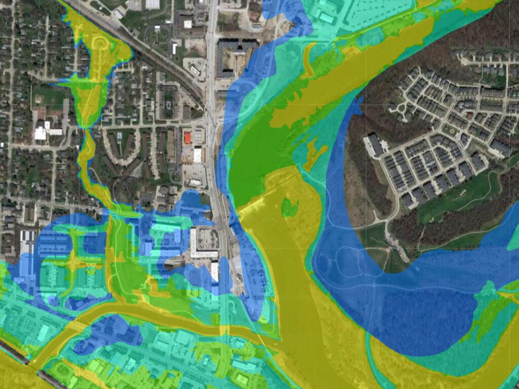
Flood Monitoring and Response
Real-time flood risk mapping using AI and satellite data to predict flood zones, monitor water levels, and assist in disaster response. These solutions have been applied in various flood scenarios, including the Venezuela Flood Response, where China Siwei provided actionable insights within hours.
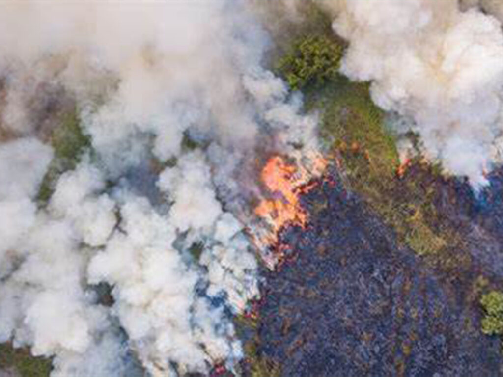
Forest Fire Detection and Monitoring
AI-based early warning systems for forest fires, including real-time fire detection, tracking, and damage assessment, using multi-source satellite data. Continuous monitoring allows minute-by-minute updates, reducing response times and limiting damage.
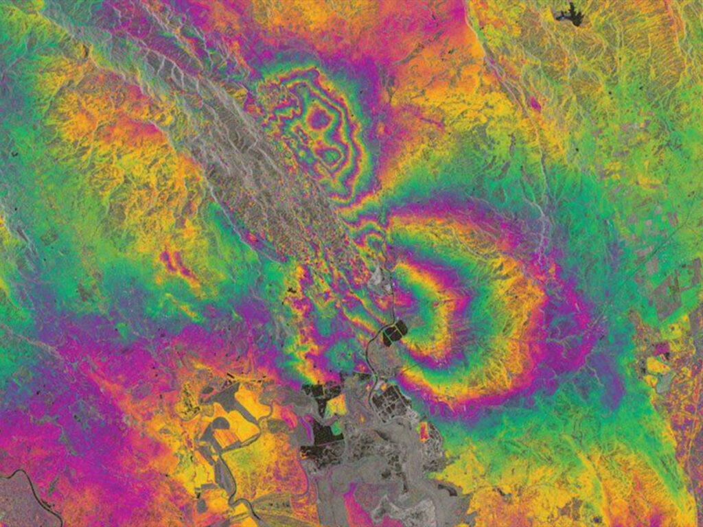
Earthquake and Infrastructure Monitoring
Satellite-based deformation monitoring of critical infrastructure like dams and bridges, identifying potential risks before they lead to disasters. This capability was effectively demonstrated in the monitoring of the Aswan Dam in Egypt.
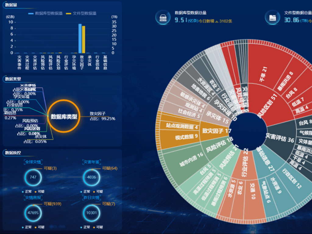
Integrated Disaster Platforms
AI disaster platforms integrate satellite, aerial, and ground data, providing a comprehensive view of disaster scenarios for better decision-making.
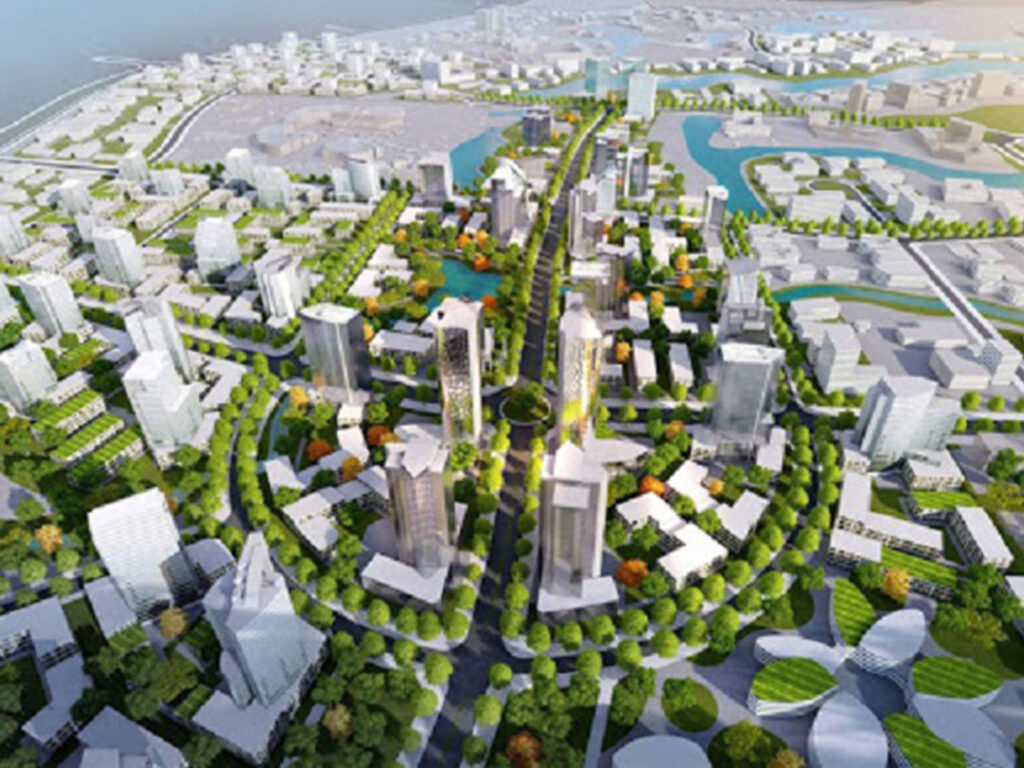
Urban Management
China Siwei empowers smart cities with AI-driven solutions for urban planning, infrastructure management, and environmental monitoring. Our satellite and geospatial technologies enable cities to manage growth sustainably and efficiently.
Use Cases
- Beijing Urban Infrastructure Monitoring: Real-time monitoring of infrastructure deformation using InSAR, ensuring the safety and longevity of urban structures.
- Smart City Development in Asia: Implementation of digital twin models to support urban planning and disaster resilience in rapidly growing cities.
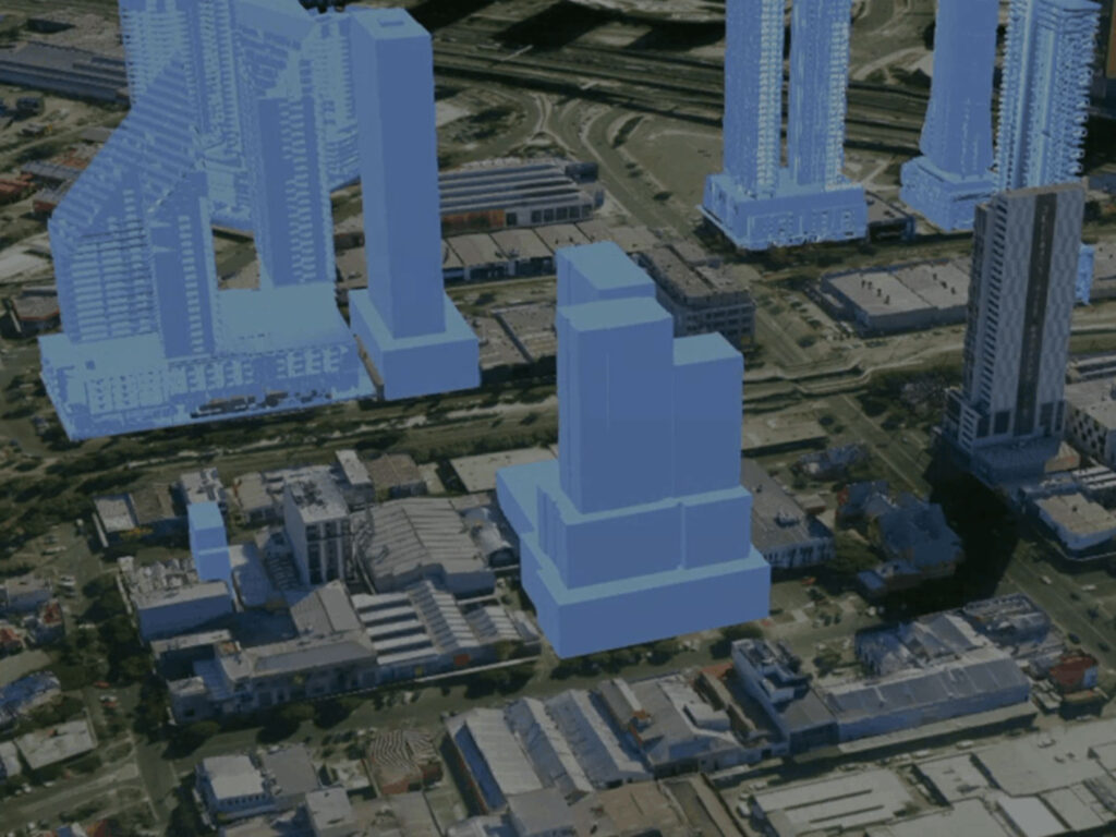
Digital Twins and 3D Urban Mapping
High-resolution 3D city models provide real-time insights into urban infrastructure, supporting planning, construction, and disaster management. AI-powered building contour extraction allows for precise urban planning and scenario modeling, essential for modern city management.
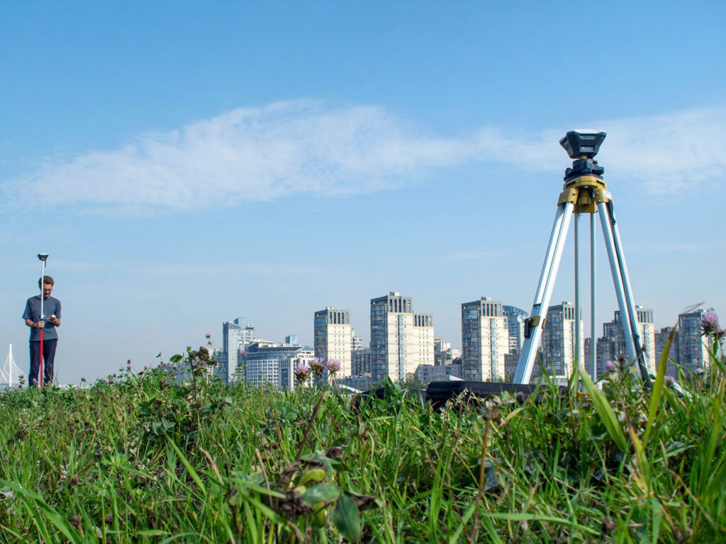
Smart Infrastructure Monitoring
InSAR technology for monitoring urban infrastructure like bridges, roads, and buildings detects subsidence or deformation with millimeter-level accuracy.
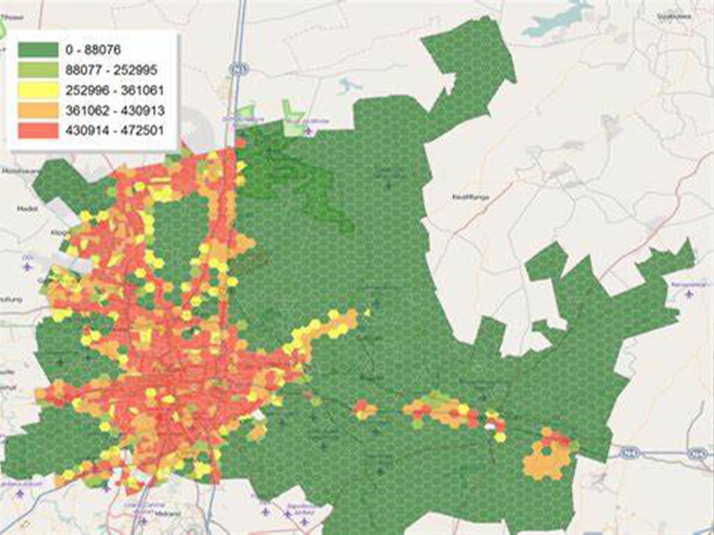
Urban Growth and Land Use Management
Satellite data enables real-time monitoring of urban expansion, identifying unauthorized constructions and optimizing land use.
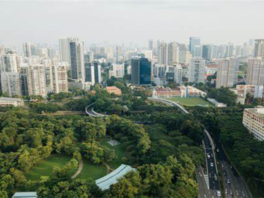
Environmental Monitoring in Urban Areas
Air and water quality monitoring through multi-spectral satellite imaging ensures cities meet sustainability goals and improve residents’ quality of life.
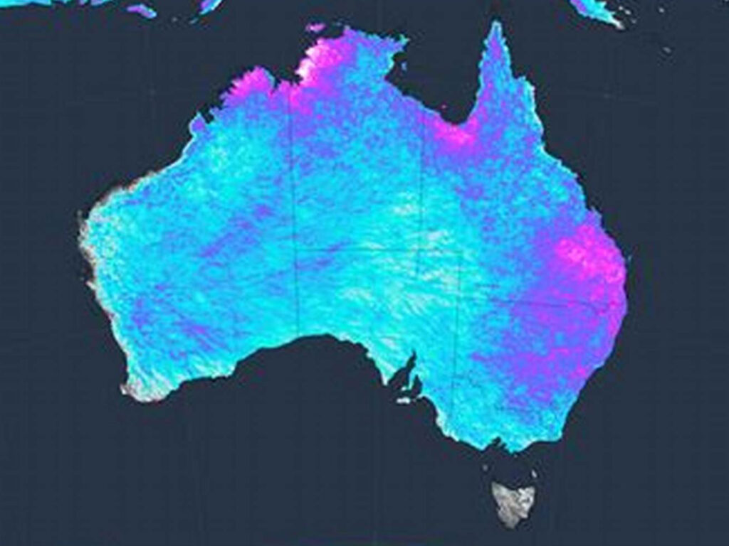
Mining and Natural Resources
China Siwei offers precise monitoring and management solutions for the mining and natural resource sectors, leveraging satellite data and AI to optimize operations, ensure safety, and promote sustainability.
Use Cases
- Oil and Gas Pipeline Monitoring: Monitoring pipeline integrity and detecting potential leaks in real-time, ensuring safe and efficient operations.
- Crude Oil Inventory Monitoring: Using satellite data to track global oil supplies, assisting in strategic decision-making for energy futures trading.
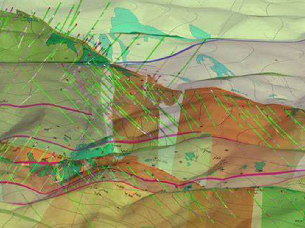
Exploration and Resource Management
High-resolution satellite imagery aids in identifying mineral deposits, planning exploration activities, and monitoring environmental impact. 3D geological mapping using DEM and DOM datasets provides a comprehensive visual representation of mining areas, enhancing exploration and operational efficiency.
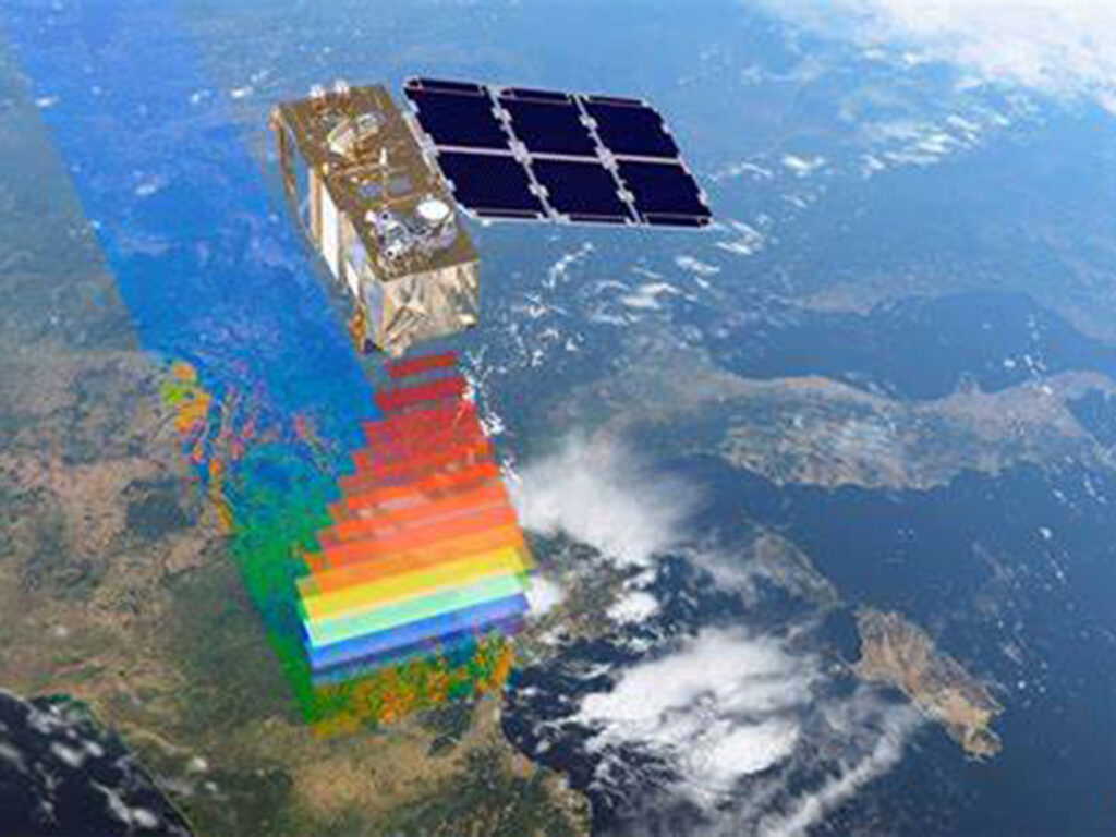
Environmental Impact Monitoring
Satellite-based environmental monitoring tracks deforestation, water pollution, and land degradation around mining sites, ensuring compliance with environmental regulations.
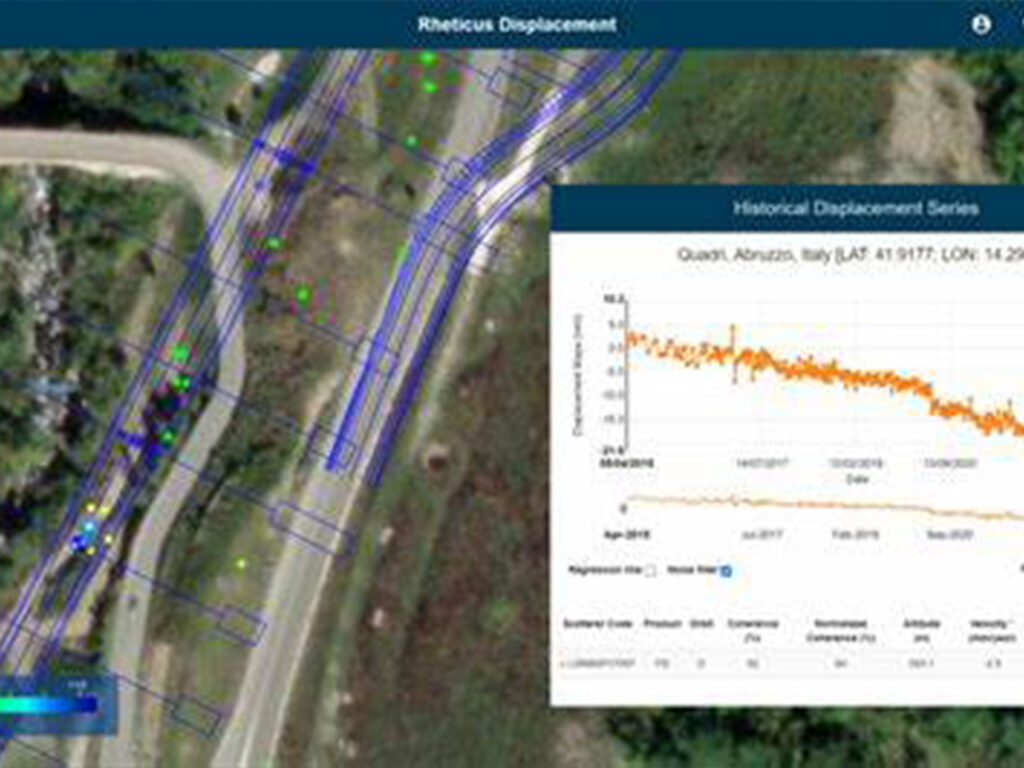
Infrastructure and Safety Monitoring
Real-time monitoring of mining infrastructure such as tailings dams and pipelines, using InSAR technology to detect deformation and prevent disasters.
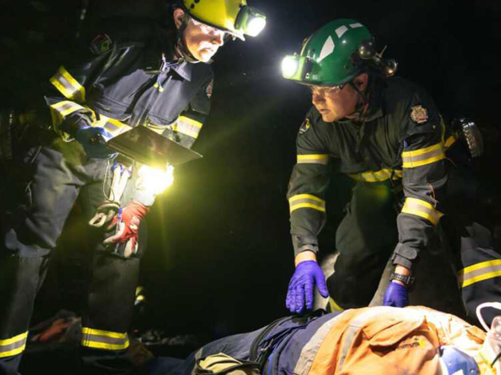
Emergency Response in Mining
AI-driven disaster response platforms enable quick action during incidents like landslides or gas leaks, minimizing damage and ensuring worker safety.

Military and Intelligence
China Siwei provides advanced geospatial intelligence solutions tailored to the needs of military and defense sectors. Our satellites deliver high-resolution imagery and real-time data, empowering national security and strategic operations.
Use Cases
- Border Security in Asia: Implementation of multi-source satellite monitoring to enhance border surveillance and counter-terrorism efforts.
- Naval Fleet Monitoring: Real-time monitoring of naval assets and maritime routes using high-resolution satellite imagery.
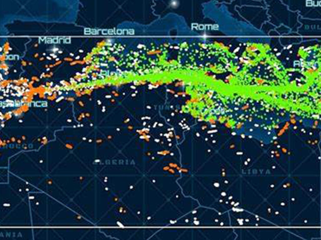
Geospatial Intelligence (GEOINT)
High-resolution optical and SAR satellites deliver detailed imagery for reconnaissance, target detection, and battlefield management. AI-driven image analysis provides real-time monitoring of key areas, detecting military assets, and analyzing enemy movements.

Border and Maritime Security
Multi-source satellite monitoring of borders and coastlines, identifying unauthorized activities, and enhancing border security. Real-time monitoring of naval assets and maritime routes ensures the safety of critical maritime infrastructure.
Strategic Infrastructure Monitoring
Deformation and subsidence monitoring of critical military infrastructure using InSAR technology ensures the safety and readiness of facilities.

Emergency Response and Crisis Management
AI-powered platforms provide rapid response during military crises, offering real-time data on infrastructure damage, troop movements, and logistics.
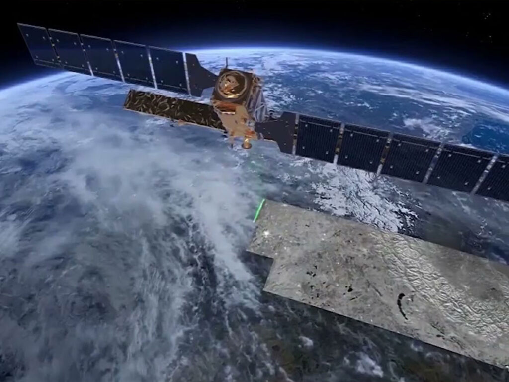
Environment
China Siwei is at the forefront of environmental monitoring, offering comprehensive solutions for tracking climate change, managing natural resources, and ensuring environmental sustainability. Our advanced satellites provide critical data for informed decision-making.
Use Cases
- Bohai Sea Water Quality Monitoring: Comprehensive monitoring of water quality parameters to manage pollution and protect marine ecosystems.
- Global Carbon Monitoring: Tracking CO2 emissions from industrial sources using satellite-based monitoring, aiding in global climate change mitigation.
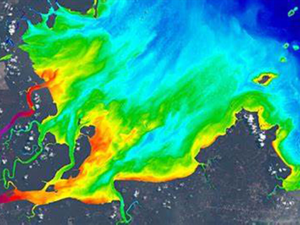
Water Quality Monitoring
Multi-spectral and hyperspectral satellite imaging tracks water quality parameters such as chlorophyll concentration, suspended solids, and pollution sources. AI-driven water resource management provides real-time monitoring of rivers, lakes, and reservoirs to ensure sustainable water use and pollution control.
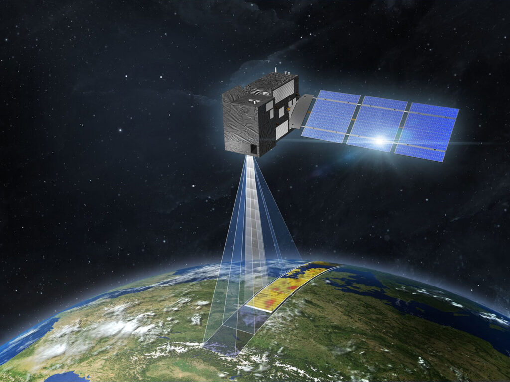
Climate Change and Carbon Monitoring
Satellite-based greenhouse gas monitoring provides accurate measurements of CO2 emissions, assisting in carbon inventory and reduction efforts.
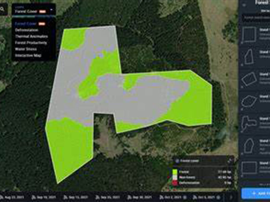
Forest and Land Use Monitoring
Real-time monitoring of deforestation, land use changes, and illegal logging using high-resolution satellite imagery.
Air Quality and Pollution Tracking
AI-powered air quality monitoring tracks urban and industrial pollution levels, helping cities meet air quality standards and protect public health.
Get Started with XRTech Group's Satellite Remote Sensing Solutions
Unlock the power of high-resolution satellite imagery for your projects. Whether you’re in agriculture, urban planning, defense, or environmental monitoring, our advanced geospatial solutions provide the accuracy and insights you need.
Contact us today to explore how XRTech Group can transform your data into actionable intelligence, or request a demo to see our satellite imagery products in action!
