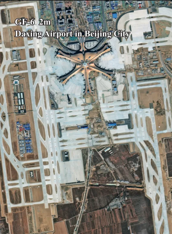
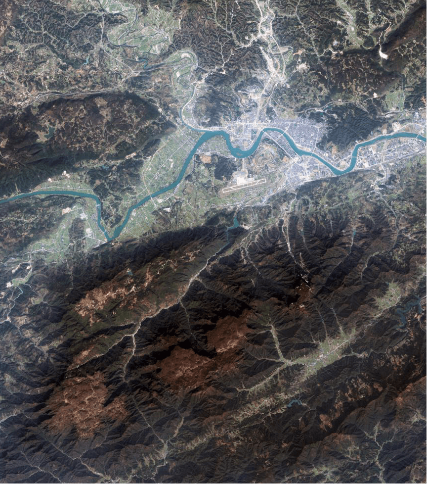
GF-6 Satellite Imagery
Launched in June 2018, the GF-6 satellite is a low-orbit optical remote sensing satellite engineered for precision agriculture. It is the first in its class to feature a Red Edge band, providing unique insights into vegetation health. With its dual-camera system offering both high-resolution detail and wide-swath coverage, GF-6 is a versatile tool for agricultural and environmental resource management.

Resolution
2m Pan
Revisits
4 Days
Wide Swath
800 km
Key Feature
Red Edge Band
Bands
13
Mission Life
8 Years
Technical Specifications
| Launch Date | June 2, 2018 |
| Altitude | 645 km |
| Revisit Capacity | 4 days |
| PAN/MS Camera (90km Swath) | Resolution: 2m (Pan), 8m (MS) Bands: Pan, Blue, Green, Red, NIR |
| MUX Camera (800km Swath) | Resolution: 16m (MS) Bands: Blue, Green, Red, NIR, Red Edge, NIR II, Purple, Yellow |
| Detailed Spectral Bands |
Pan: 0.45-0.90μm Red Edge: 0.69-0.73μm Purple: 0.40-0.45μm Yellow: 0.59-0.63μm |
Features and Benefits
- Pioneering Red Edge Band: Its unique Red Edge band is critical for advanced vegetation analysis, detecting subtle changes in plant health and stress before they are visible to the human eye.
- Dual Capability Imaging: GF-6 offers both high-resolution (2m/8m) imagery for detailed analysis and very wide-swath (800km) imagery for large-area monitoring, providing unmatched flexibility.
- Rich Spectral Information: With 13 distinct spectral bands including Purple and Yellow, GF-6 provides incredibly rich data for sophisticated environmental and agricultural studies.
- Frequent Monitoring: A 4-day revisit capacity ensures timely acquisition of imagery, allowing for dynamic monitoring of rapidly changing environments like agricultural fields.
Applications
Why Choose XRTech Group for GF-6 Imagery?
We provide more than just satellite data; we deliver comprehensive solutions tailored to your project's specific needs, ensuring you get actionable insights quickly and efficiently.
Expert Consultation
Our geospatial experts provide a free consultation to understand your needs and recommend the best acquisition parameters to ensure optimal results for your project.
Rapid Delivery
Leveraging our direct partnership and access to a vast 130+ satellite constellation, we offer fast turnaround times, delivering imagery in days, not weeks.
Seamless Integration
We deliver data in industry-standard formats (like GeoTIFF) compatible with your GIS, CAD, or modeling software, with a team ready to support your workflow.
GF-6 Sample Imagery


