Precision Mapping with XRTech Group's Orthorectification Services
Transform your raw satellite images into perfectly accurate maps. Our orthorectification services remove distortions, giving you clear, measurable, and reliable satellite data for any project.
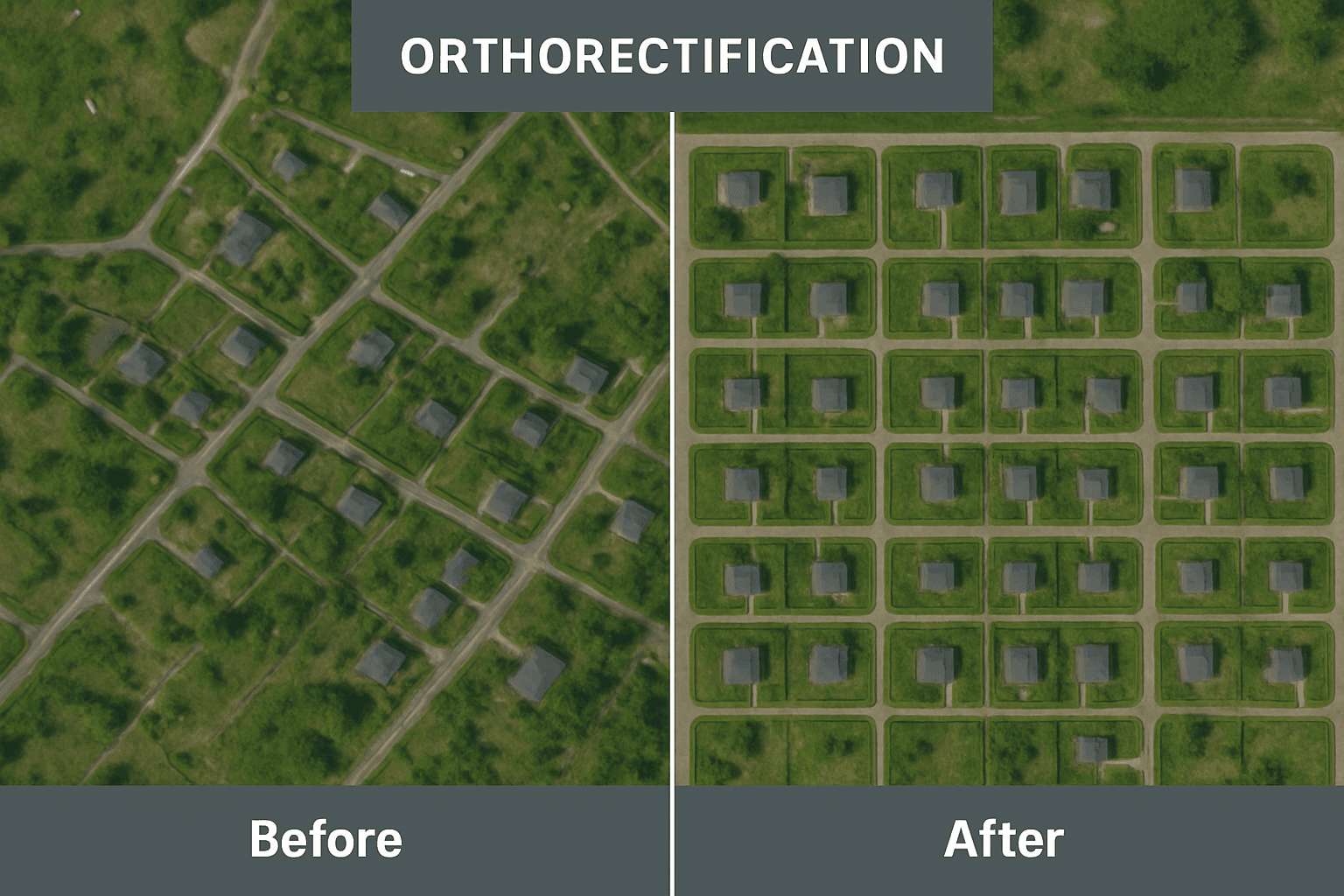
What are Orthorectification of Satellite Imagery Services?
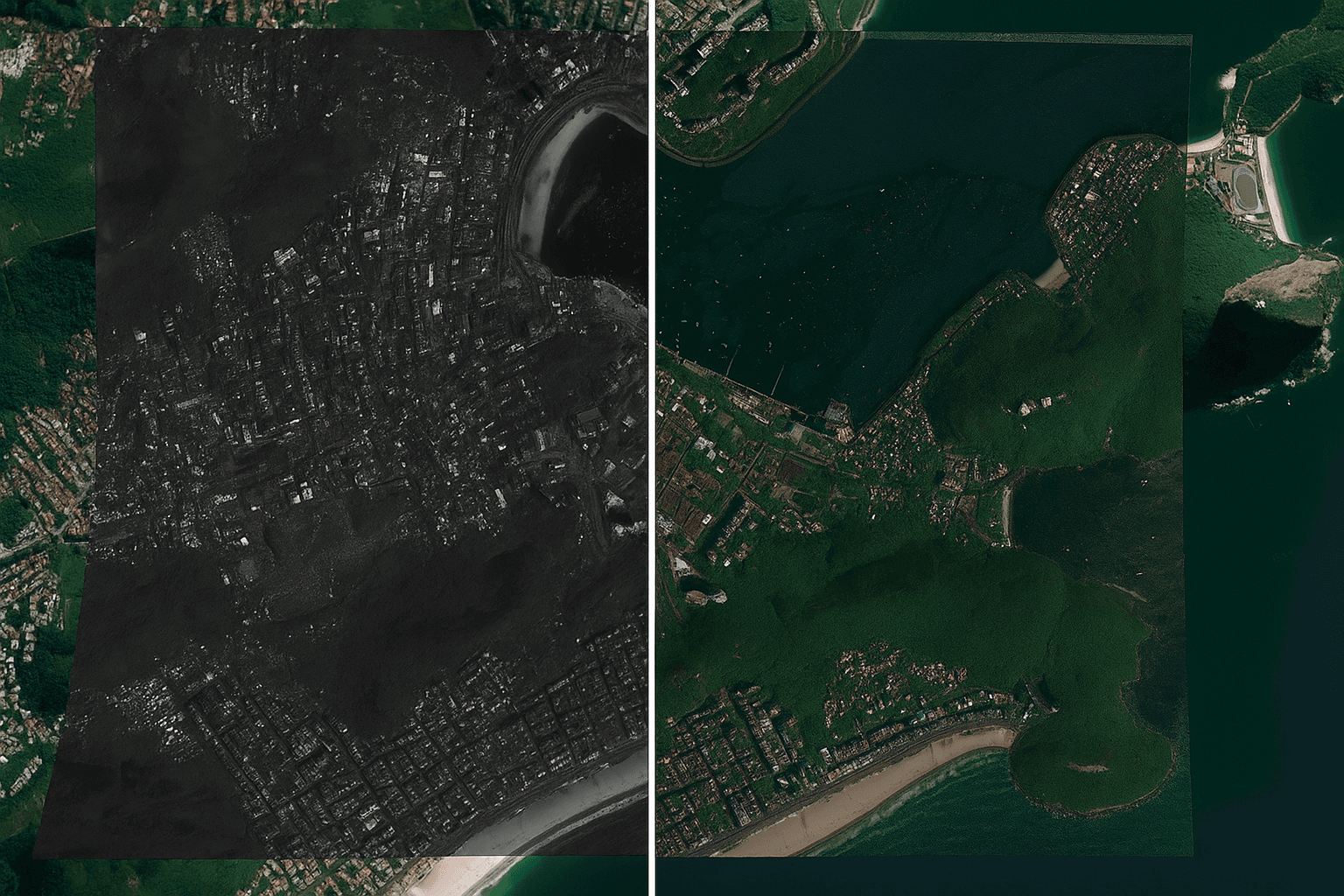
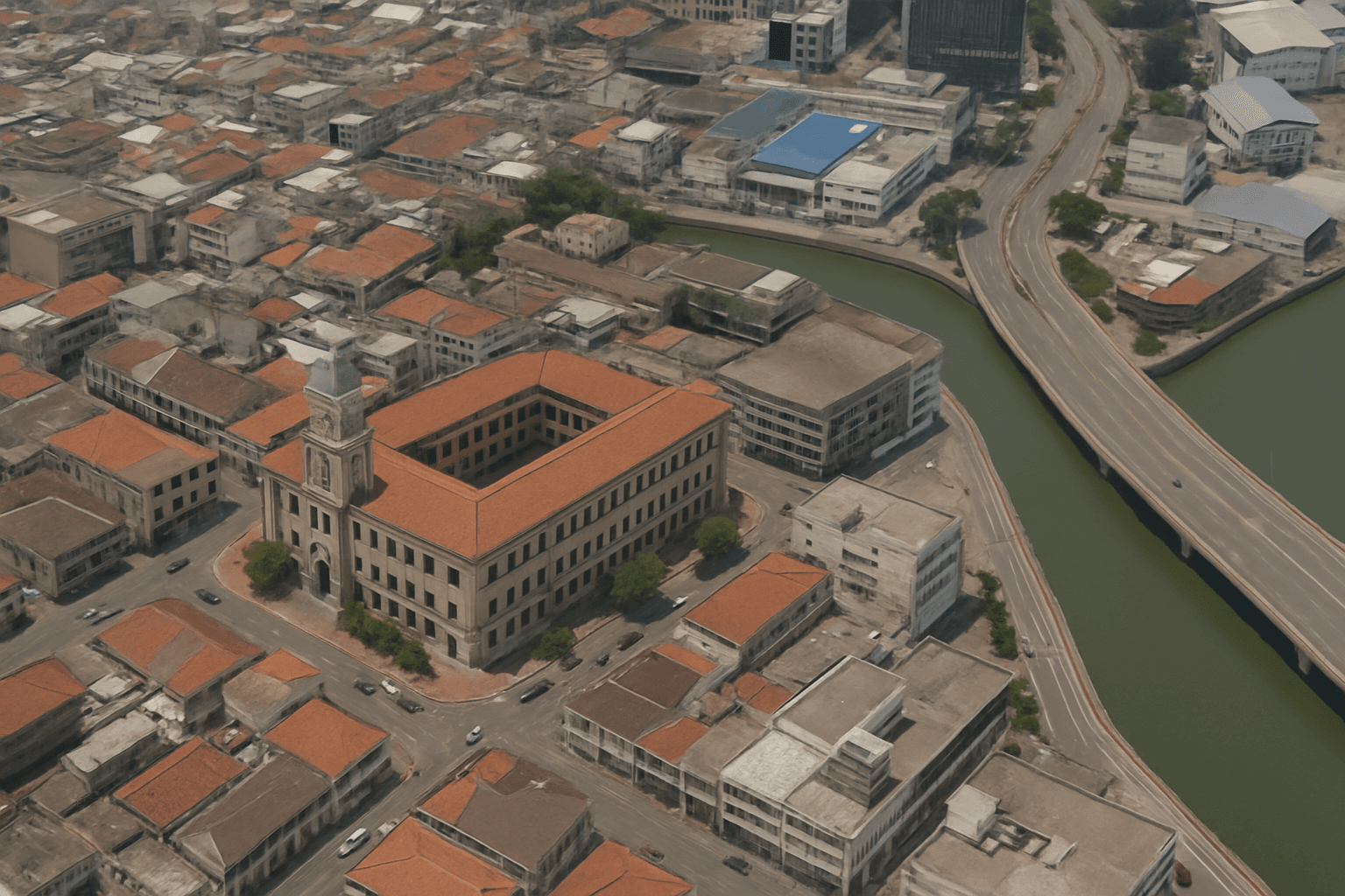
When pictures are taken from satellites high above Earth, they can sometimes look a bit squished or stretched. This happens because our Earth has mountains, valleys, and hills, and the satellite's camera might not be looking straight down. These things can make the images not perfectly accurate for measuring distances or mapping. This is where orthorectification of satellite imagery come in.
Orthorectification is a very important process that fixes these problems. It's like taking a distorted photo and making it perfectly flat and true to scale, just as if you were looking straight down at a perfectly flat map. The main goal is to make sure that every point on the image matches its real location on Earth exactly. This means that if you measure a distance on an orthorectified imagery map, that measurement will be correct in the real world. This process is a key part of XRTech Group's geospatial solutions, helping to create maps that are truly reliable.
Without orthorectification, satellite images might show buildings leaning over, or roads appearing curved when they are actually straight. These distortions can make it hard to use the images for serious work like planning cities or tracking changes over time. By carefully correcting these images, XRTech Group ensures that the data you receive is ready for precise measurements and detailed mapping, providing value that helps in making better decisions across many different industries.
Understanding Digital Orthophoto Maps (DOMs)
The amazing result of orthorectification services is often called a Digital Orthophoto Map, or simply a DOM. You might also hear it called an orthoimage or orthorectified imagery. These are not just pretty pictures; they are powerful tools for mapping and analysis.
Geometric Correction & Georeferencing
DOMs are satellite images that have been perfectly "fixed." All squishing and stretching from hills and camera angles are removed. Every pixel is precisely linked to a real-world location on Earth. This ensures pixel-perfect clarity, making them incredibly accurate for any task.
Unmatched Precision & Quality
Our DOMs are the foundation for serious mapping work, meeting very strict standards. They offer pixel-perfect clarity with 50 cm resolution and 8m CE90 precision. This means 90% of points are within 8 meters of their true location, ensuring reliable measurements.
Powered by DEMs (Digital Elevation Models)
To fix distortions from terrain, our orthorectification satellite imagery services use special 3D maps called DEMs (Digital Elevation Models). XRTech Group provides DEMs at 2-10 meter spacing with ±3m vertical RMSE, perfect for engineering and precise urban planning.
XRTech Group's Advanced Orthorectification Capabilities
At XRTech Group, we don't just provide **orthorectification services**; we offer a full suite of advanced image processing capabilities. Our goal is to ensure that all our high-resolution satellite imagery is delivered "ortho-ready" and perfectly optimized for your analysis needs. This means the images are not only geometrically correct but also visually appealing and easy to use.
Precise Adjustment & Block Adjustment
We ensure all images taken of a large area fit together perfectly. This creates a seamless, spatially consistent map with no gaps or overlaps, vital for large-scale mapping where every detail needs to be in its correct place.
Seamless Fusion & Blending
We combine multiple image sources or different times to create a single, seamless, high-quality visual. This enhances clarity and usefulness, like combining detailed black-and-white images with color ones for high-resolution color maps.
Expert Color Correction
Our process refines image color balance, making sure colors look natural and consistent across the entire map. Good color correction enhances clarity and makes visual interpretation much easier for your **orthorectified imagery**.
Large-Scale Mosaicking
For very large areas, we stitch many individual **orthorectified imagery** pieces together to create one giant, high-resolution map. Seams between images are invisible, providing a smooth, continuous view for comprehensive studies.
Applications and Benefits of Orthorectified Imagery
Orthorectified imagery and Digital Orthophoto Maps (DOMs) provide incredibly valuable data for a wide range of uses. They help people make smarter decisions and work more efficiently across many different fields. Here are some key applications and the benefits they bring:
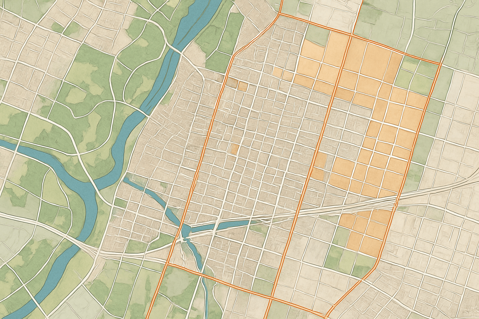
Urban Planning & Infrastructure
Create precise maps for urban planning, enabling accurate mapping of buildings and roads. Ideal for zoning, infrastructure reports, and AI-powered building contour extraction.
Mapping & GIS Applications
Serve as accurate base maps for various GIS applications, ensuring perfect alignment with GPS and other location data for reliable analysis.
Long-Term Monitoring
Ideal for tracking changes in landscapes, evaluating urban growth, and monitoring environmental shifts over time with consistent accuracy.
Environmental Monitoring
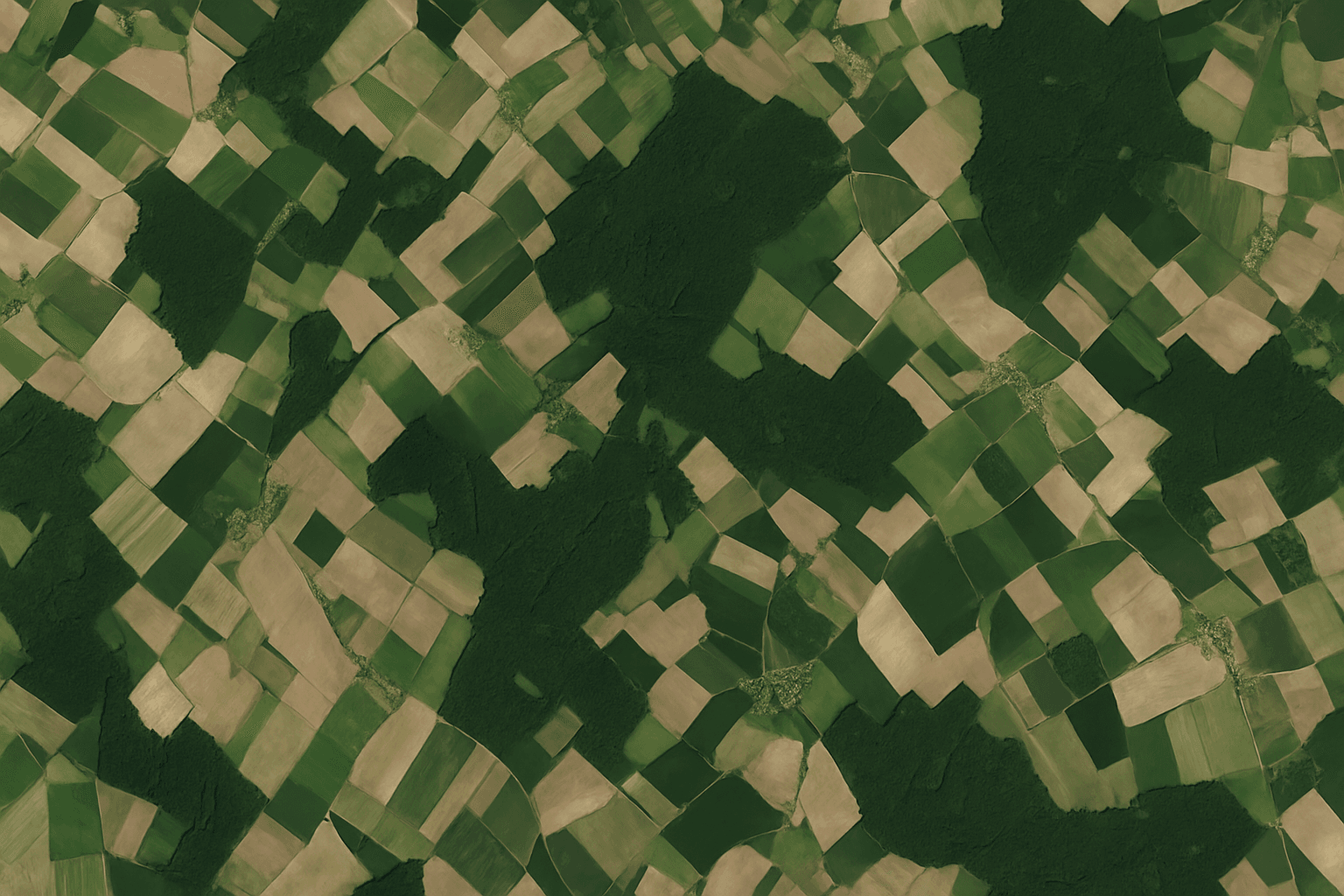
Assess land use changes, water bodies, green cover, and pollution. Combined with multispectral imagery, it provides powerful insights for conservation.
Construction Progress Tracking
Provides accurate, current data for planning and monitoring construction sites, helping identify unauthorized developments and ensure adherence to plans.
General Analysis & Integration
Ortho-ready imagery is optimized for various analyses, ensuring high-quality, actionable insights that seamlessly integrate into existing GIS and CAD workflows.
Challenges with Raw Imagery and XRTech's Solutions
While satellite imagery is amazing, using raw, uncorrected images can lead to many problems. These challenges can make your projects difficult and your results unreliable. XRTech Group's **orthorectification services** are specifically designed to solve these common pain points.
Pain Point 1: Geometric Distortions and Inaccuracy
The Challenge: Raw satellite images are often not flat. They show buildings leaning, roads bending, and features appearing in the wrong place because of the Earth's curved surface and changes in elevation (like hills and mountains). The camera's angle also causes things to look stretched or squished. This means you cannot take accurate measurements directly from these images. If you try to map something, it will not line up with real-world coordinates.
XRTech's Solution: Our **orthorectification services** use advanced mathematical models and precise elevation data (DEMs) to remove these distortions. We correct every pixel so that the image is geometrically accurate, as if every point was viewed straight down from above. This ensures that our **orthorectified imagery** provides true-to-scale representations of the Earth's surface, making all measurements and spatial analyses reliable.
Pain Point 2: Difficulty in Precise Measurement and Analysis
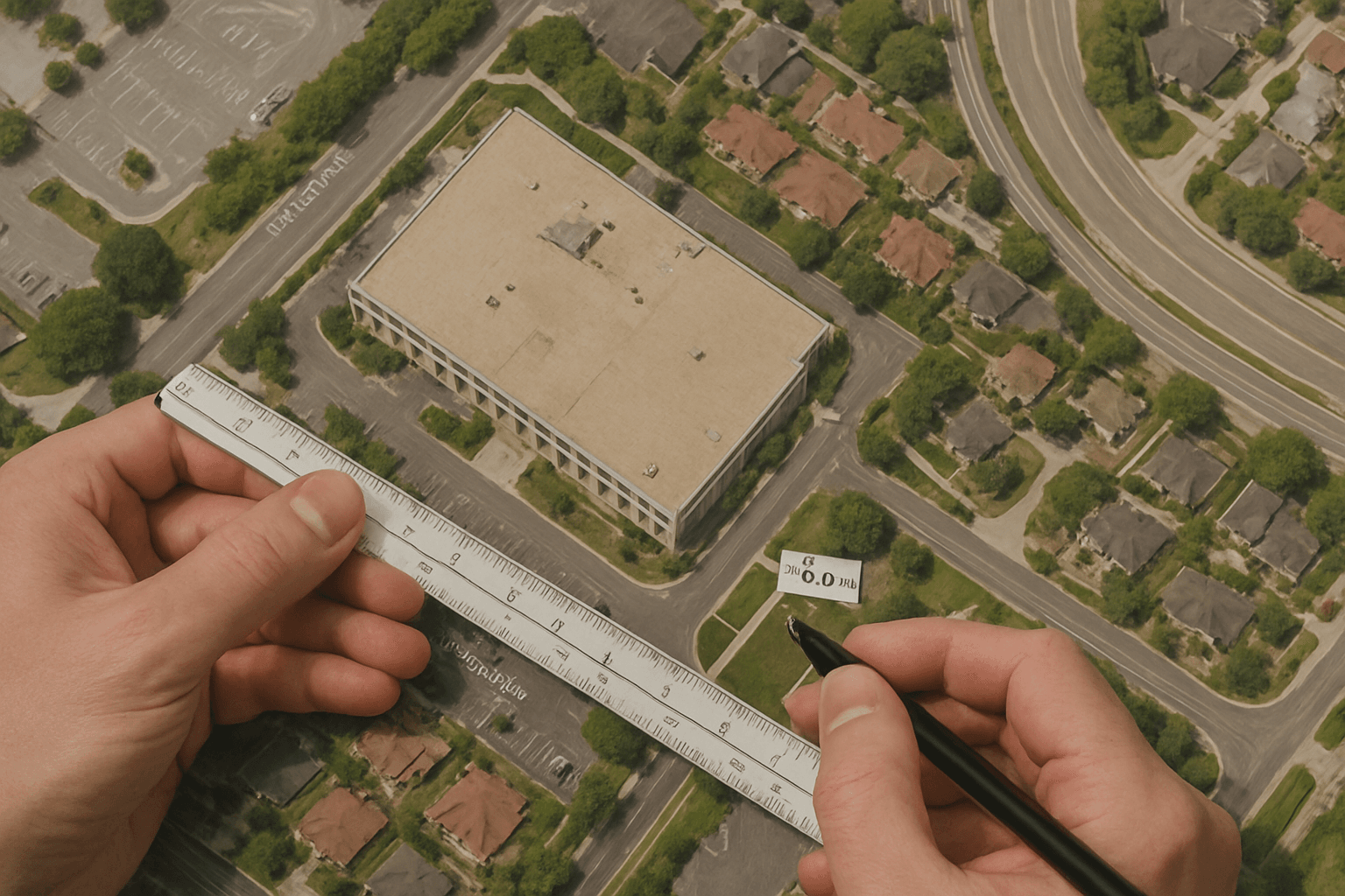
The Challenge: When images are distorted, it's impossible to get accurate measurements of distances, areas, or sizes. You cannot reliably measure the length of a road, the size of a field, or the footprint of a building if the image itself is not geometrically correct. This severely limits the usefulness of raw imagery for engineering, planning, and scientific studies where precision is key.
XRTech's Solution: By providing perfectly **orthorectified imagery** (DOMs), XRTech Group gives you maps from which you can take direct, accurate measurements. Every feature on the map corresponds precisely to its real-world counterpart. This capability is crucial for tasks requiring high precision, such as calculating land parcels, monitoring construction progress, or assessing environmental changes with confidence.
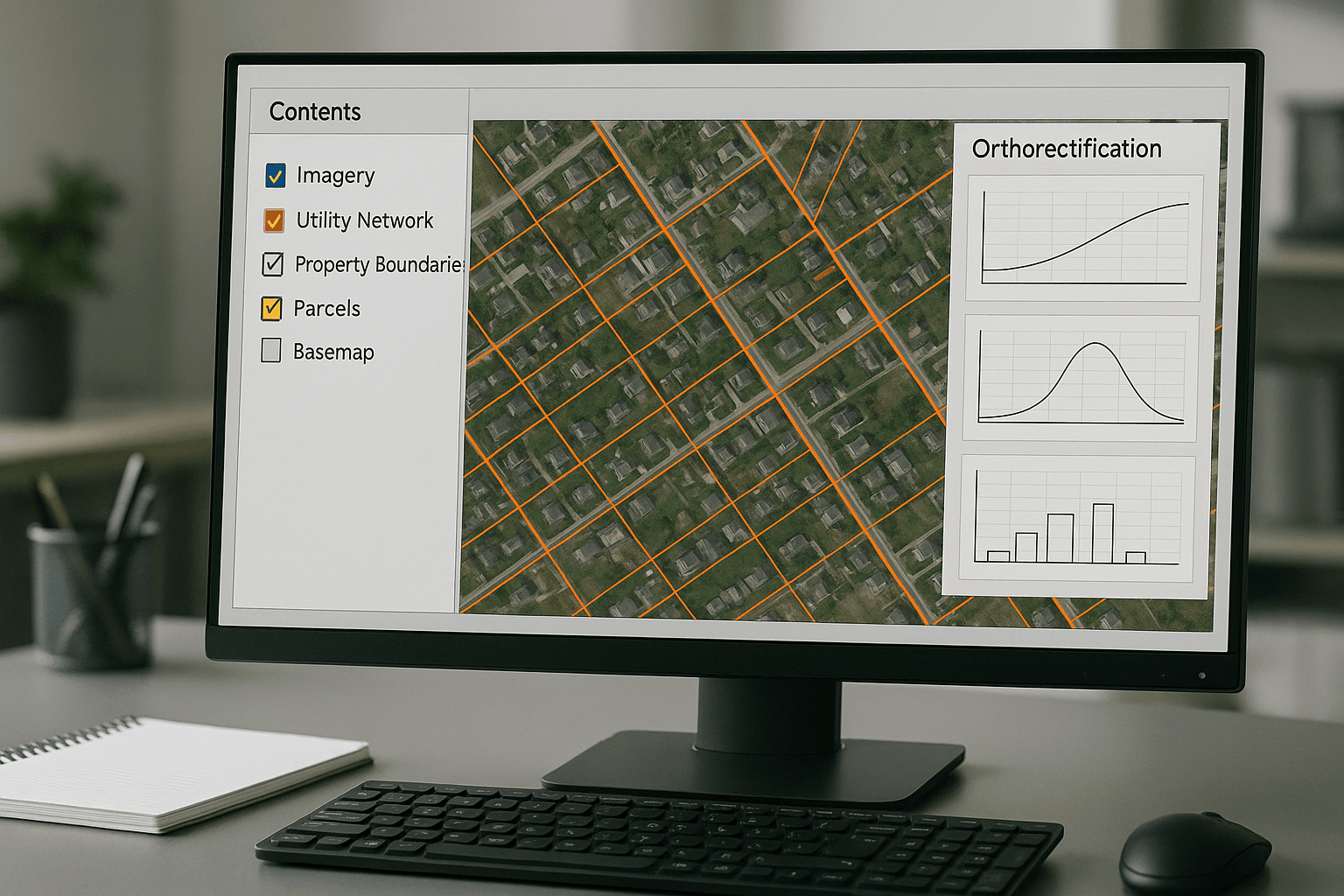
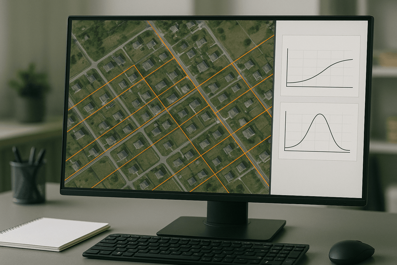
Pain Point 3: Integration Issues with Existing GIS/CAD Systems
The Challenge: Many organizations use Geographic Information Systems (GIS) or Computer-Aided Design (CAD) software for their projects. Raw satellite images often do not align properly with other geospatial data layers (like property boundaries or utility networks) within these systems. This misalignment leads to frustration, wasted time, and incorrect analysis, as different data sources simply do not fit together.
XRTech's Solution: Our **orthorectification services** ensure that all delivered imagery is georeferenced and compatible with industry-standard GIS and CAD platforms. This means our **orthorectified imagery** can be seamlessly dropped into your existing workflows. It will perfectly align with your other data, allowing for smooth integration and accurate multi-layered analysis without any alignment headaches.
Pain Point 4: Need for Specialized Expertise and Software
The Challenge: Performing **orthorectification** correctly requires specialized knowledge, expensive software, and powerful computers. Many companies or individuals do not have the in-house expertise or resources to handle this complex process themselves. This can be a significant barrier to using satellite imagery effectively.
XRTech's Solution: XRTech Group offers **orthorectification services** as a complete solution. You don't need to worry about the complex technical details. Our team of experts uses advanced software and processes to deliver ready-to-use **orthorectified imagery**. This saves you time, money, and the hassle of acquiring and maintaining specialized equipment and training, allowing you to focus on your core business.
Why Choose XRTech Group for Your Orthorectification Services?
Choosing the right partner for your geospatial needs is very important. At XRTech Group, we are dedicated to providing the best **orthorectification services** and overall Earth Observation data. We go beyond just delivering images; we provide solutions built for real-world demands.
Access to a Vast Satellite Network
We have access to over 130 satellites, including optical, SAR, stereo, and hyperspectral sources. This ensures coverage across any terrain or condition worldwide, allowing us to select the best raw imagery for your **orthorectification services**.
Fast Turnaround Times
Time is critical. We pride ourselves on fast delivery, with Earth Observation satellite imagery, including **orthorectified imagery**, typically available in under 7 days, even for large or remote areas.
High Accuracy Outputs
Precision is key. Our outputs boast sub-meter satellite imagery resolution and meet strict accuracy standards like CE90 and RMSE, making our data reliable and precise for demanding projects.
Compatible Imagery Data Formats
We deliver your **orthorectified imagery** in industry-standard formats like GeoTIFF, SHP, DWG, and UTM. This ensures seamless integration with your existing GIS or CAD workflows without conversion hassle.
No Export License Delays
As a non-U.S. provider, XRTech Group avoids many export control bottlenecks. This means we can get your **orthorectified imagery** to you faster and with fewer restrictions, streamlining access to critical information.
Flexible Licensing Options
Our licensing for **orthorectified imagery** is designed to match your operational needs. It's simple, project-wide, publication-friendly, and built for collaborative teams, giving you the freedom to use data as needed.

What Our Clients Say About Our Orthorectification Services
Our clients don't just get accurate **orthorectified imagery**; they experience speed, clarity, and support that goes beyond what they expect. Here are some of their thoughts:
"We received high-resolution satellite imagery 2x faster than Maxar or Airbus vendors. When timelines are tight, speed makes the difference. XRTech delivers."
— Infrastructure Planner, Asia
"Others said 3 weeks. XRTech delivered high resolution satellite imagery in 4 days — as was needed. Fast, dependable delivery helped this team meet critical project milestones."
— National Mapping Lead, Africa
"Clear licensing, human support, and fast turnaround — finally. Our transparent process and responsive team mean fewer delays and smoother execution."
— NGO Partner, MENA
Flexible Pricing for Your Orthorectified Imagery Needs
We offer pricing plans for **orthorectified imagery** that are designed to match your project's size and specific needs. Our goal is to provide clear, fair pricing with no hidden fees or confusing license terms.
High Resolution Ortho-Imagery
51-80cm Resolution | Up to 4 Bands
USD 5/km²
Archive Image (>90 days), min. 25km²
USD 8/km²
New Tasking Image, min. 100km²
Very High Resolution Ortho-Imagery
31-50cm Resolution | Up to 4/8 Bands*
USD 13/km²
Archive Image (>90 days), min. 25km²
USD 20/km²
New Tasking Image, min. 100km²
*Band availability may vary depending on satellite source.
Super High Resolution Ortho-Imagery
30cm Resolution | Up to 4 Bands
USD 20/km²
Archive Image (>90 days), min. 25km²
USD 30/km²
New Tasking Image, min. 100km²
30-Day Money-Back Guarantee: Zero risk. Full confidence. We stand by the quality of our **orthorectification services** and data. If you’re not satisfied with your deliverables within 30 days, we’ll refund your project — no questions asked.