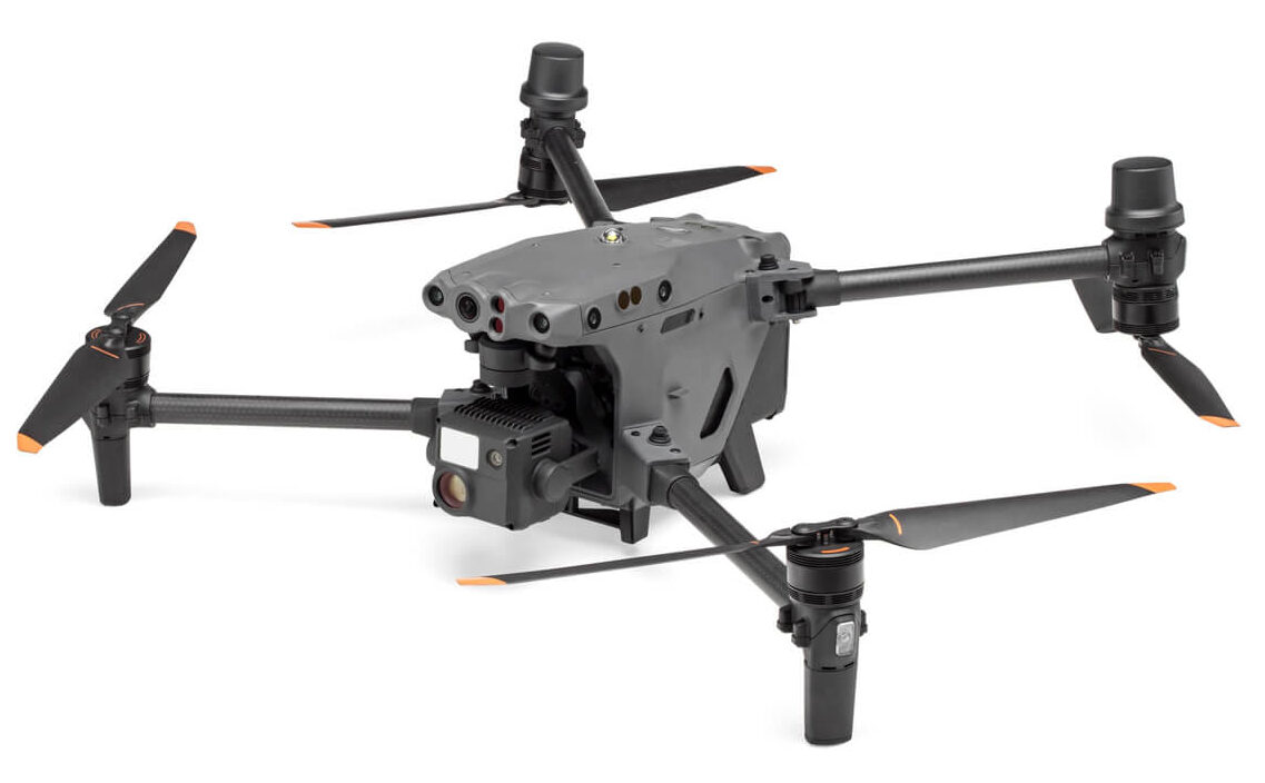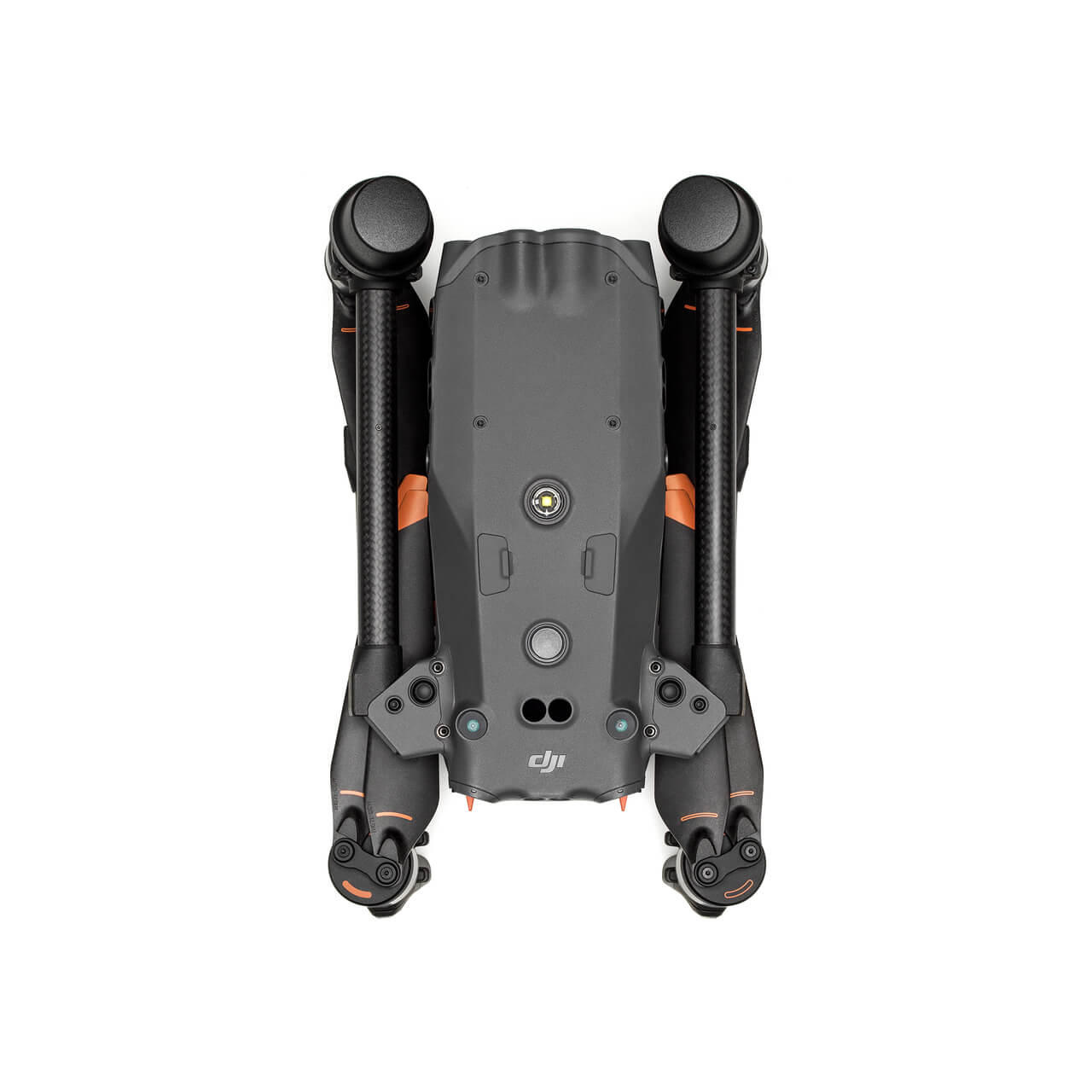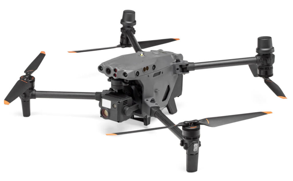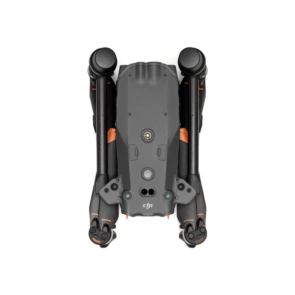
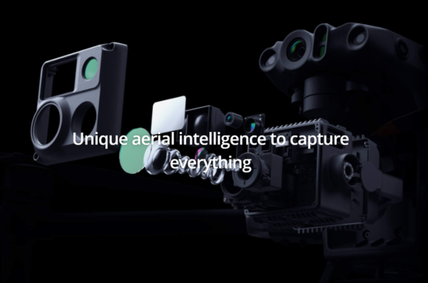
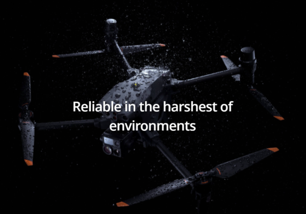
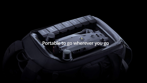
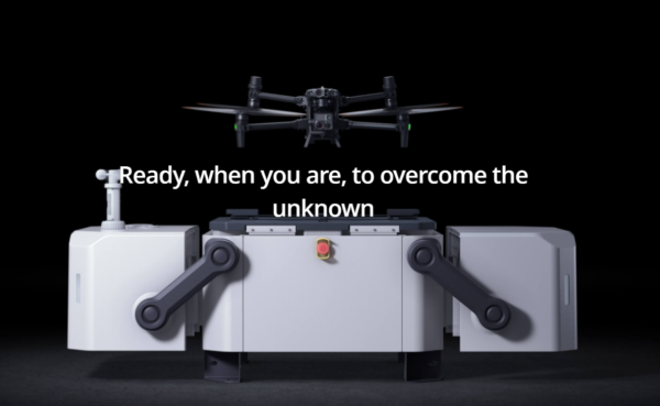
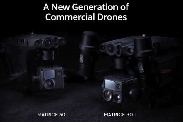
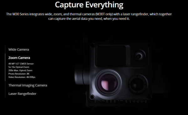
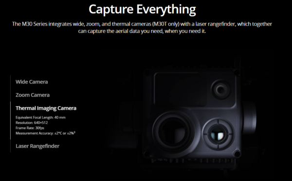
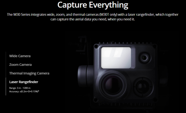
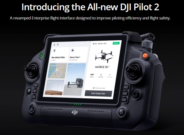
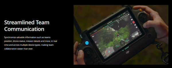
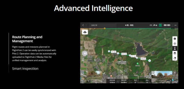
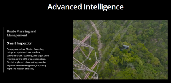
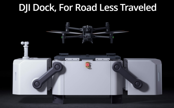
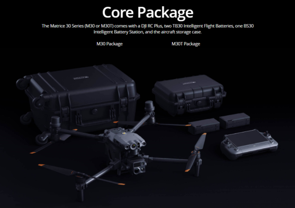
The DJI Matrice 30 Series is a cutting-edge enterprise drone designed to excel in demanding environments. Available at XRTech Group, Dubai’s premier DJI Enterprise drone shop, this series combines advanced technology with robust features to meet the needs of professionals across various industries.
We offer the DJI Matrice 30 Series at competitive prices, ensuring you get the best value for your investment. Our expert team provides full support and service to help you maximize the potential of your drone.


| Industry | Enterprise Products |
|---|
Brief questions. Practical guidance. Get an indicative estimate instantly, and we only proceed to a formal quote once the basics are clear.
Your satellite imagery request has been sent to admin@xrtechgroup.com. XRTech will review feasibility and send a formal quote within 24 hours. A free sample tile for your AOI is included in the quote response.