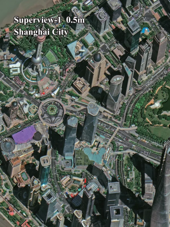
Superview-1 Satellite Imagery
The Superview-1 constellation (SV-1) consists of four agile optical Earth observation satellites, delivering reliable and high-quality 50cm resolution imagery. It is a workhorse of the high-resolution satellite world, providing a perfect balance of detail, coverage, and cost-effectiveness for a wide array of geospatial applications.

Resolution
50cm Pan
Revisits
1-2 Days
Swath Width
12 km
Accuracy
9.5-m CE90
Bands
5
Stereo
Available
Technical Specifications
| Panchromatic Resolution | 0.5m |
| Multispectral Resolution | 2m |
| Swath Width | 12 km at nadir |
| Altitude | 530 km |
| Orbit Type | Sun-Synchronous |
| Dynamic Range | 11-bit |
| Spectral Bands | Pan: 450-890 nm Blue: 450-520 nm Green: 520-590 nm Red: 630-690 nm NIR: 770-890 nm |
Features and Benefits
- High Performance: The 50cm resolution provides ample detail for most professional mapping and monitoring tasks without the higher cost of 30cm imagery.
- Excellent Agility: The satellites can quickly pivot to collect imagery from multiple angles, enabling efficient large-area collection and stereo imaging.
- Reliable Coverage: With a constellation of four satellites, Superview-1 offers frequent revisit opportunities and a high probability of successful, cloud-free image acquisition.
- Cost-Effective Solution: It provides a strong value proposition, delivering high-quality data at a competitive price point for budget-conscious projects.
Applications
Why Choose XRTech Group for Superview-1 Imagery?
We provide more than just satellite data; we deliver comprehensive solutions tailored to your project's specific needs, ensuring you get actionable insights quickly and efficiently.
Expert Consultation
Our geospatial experts provide a free consultation to understand your needs and recommend the best acquisition parameters to ensure optimal results for your project.
Rapid Delivery
Leveraging our direct partnership and access to a vast 130+ satellite constellation, we offer fast turnaround times, delivering imagery in days, not weeks.
Seamless Integration
We deliver data in industry-standard formats (like GeoTIFF) compatible with your GIS, CAD, or modeling software, with a team ready to support your workflow.
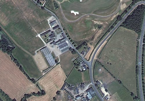
Superview-1 Sample Imagery