Superview Neo-1 Satellite Imagery
The Superview Neo-1 (also known as Gaojing-3 01) is a state-of-the-art commercial Earth observation satellite launched in 2022. It represents the pinnacle of very high-resolution imaging, delivering unparalleled clarity with its 30cm panchromatic capabilities. This level of detail makes its satellite imagery an invaluable asset for projects requiring the highest degree of precision and accuracy.

Resolution
30cm Pan
Revisits
Daily
Swath Width
12 km
Accuracy
CE90 ≤4m
Bands
5
Stereo
Available
Technical Specifications
| Panchromatic Resolution | 0.3m |
| Multispectral Resolution | 1.2m |
| Swath Width | 12 km at nadir |
| Altitude | 650 km |
| Orbit Type | Sun-Synchronous |
| Dynamic Range | 12-bit |
| Spectral Bands | Pan: 450-700 nm Blue: 450-520 nm Green: 520-590 nm Red: 630-690 nm NIR: 770-890 nm |
Features and Benefits
Superview Neo-1 imagery is not just about seeing the ground; it's about understanding it with extreme clarity. Its advanced sensor provides data that empowers decision-makers with confidence.
- Unmatched Resolution: The 30cm panchromatic resolution allows for the identification of small objects like vehicles, road markings, and individual property features.
- High Revisit Frequency: With the ability for daily revisits over key areas, it is ideal for monitoring change detection and tracking progress on active sites.
- Superior Accuracy: Delivers geolocational accuracy (CE90) of 4 meters without ground control points, ensuring your data is reliable for professional-grade mapping.
- Stereo Imaging: The satellite's agility allows for the collection of stereo pairs, which are essential for generating high-quality Digital Elevation Models (DEMs) and 3D city models.
Applications
Why Choose XRTech Group for Superview Neo-1 Imagery?
Acquiring the right satellite imagery is more than just a transaction. At XRTech Group, we partner with you to ensure the data you receive perfectly aligns with your project's goals, delivering actionable intelligence, not just pixels.
Expert Consultation
Our geospatial experts provide a free consultation to understand your needs and recommend the best acquisition parameters (archive vs. new tasking) to ensure optimal results.
Rapid Delivery
Leveraging our direct partnership and access to a vast 130+ satellite constellation, we offer fast turnaround times, delivering imagery in days, not weeks.
Seamless Integration
We deliver data in industry-standard formats (like GeoTIFF) compatible with your GIS, CAD, or modeling software, and our team is here to support you in your workflow.
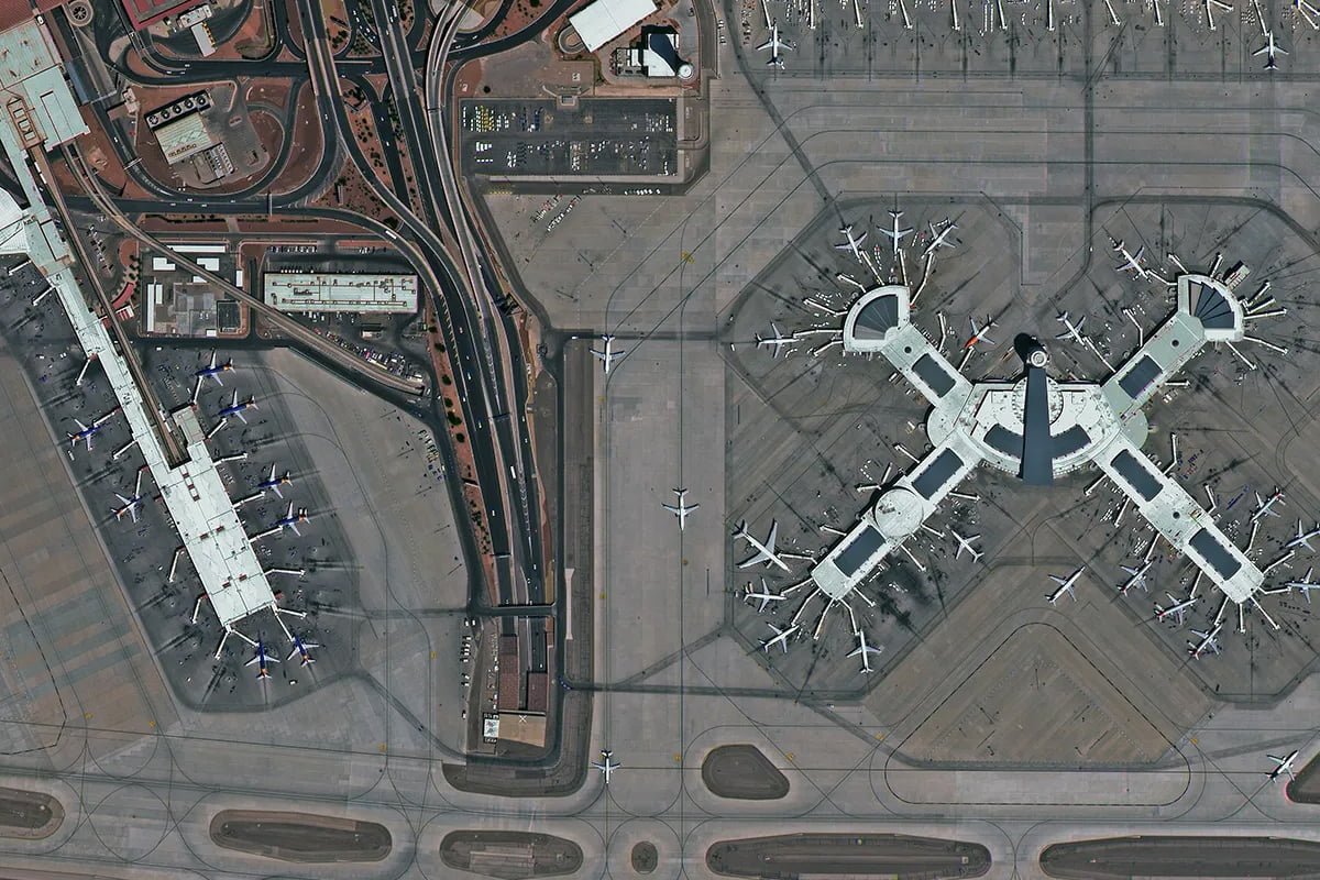
Superview Neo-1 Sample Imagery