XRTech Group Case Study
Flood-Ready Stereo Imagery for Smarter Planning in Abu Dhabi
How high-resolution stereo satellite imagery delivered near-survey grade accuracy at scale, providing critical terrain data for flood risk assessment and infrastructure planning in Al Shuwaib.
Background & Project Goals
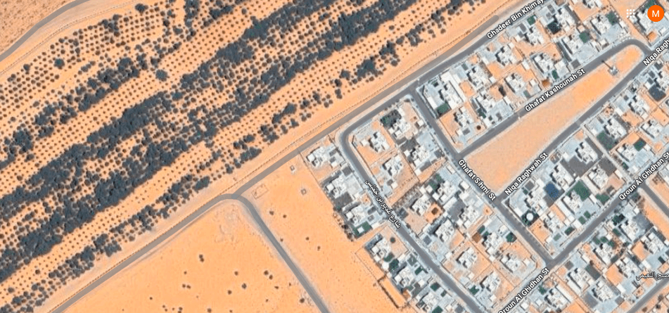
Al Shuwaib, a 121 km² area in Abu Dhabi, required highly accurate terrain data to support critical initiatives including flood risk assessment, infrastructure and smart city planning, and environmental monitoring. Traditional ground surveys were impractical for such a large area. Instead, our team used stereo satellite imagery to generate precise Digital Surface Models (DSM) and Digital Terrain Models (DTM).
The project aimed to achieve three primary goals:
- Capture complete stereo coverage of the entire region with no data gaps.
- Produce DSM/DTM with sub-meter accuracy suitable for engineering-grade analysis.
- Validate the models as reliable for flood simulations, engineering projects, and urban planning.
Our Approach
A systematic three-step process was followed to ensure the highest quality and accuracy of the final terrain models.
1. Stereo Imagery Collection
Four stereo pairs were acquired in August 2025, achieving nearly 100% coverage of the project area.
2. Geometry Check
The stereo configuration (B/H ratio 0.64–0.67) was confirmed to be ideal for high-quality 3D modelling.
3. Data Quality Analysis
The collected data was rigorously tested for precision, consistency, and the absence of artefacts.
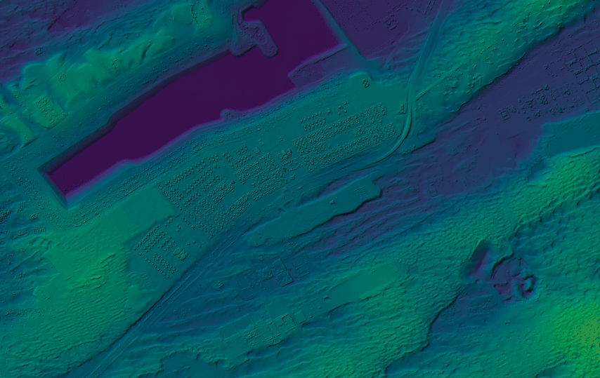
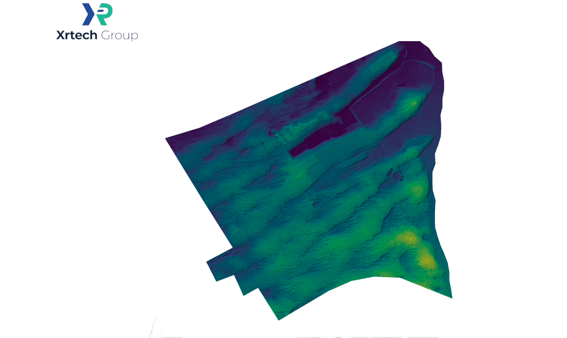
Key Results: Precision at Scale
The project successfully demonstrated that stereo satellite imagery can deliver exceptional accuracy, providing a solid foundation for critical planning and modeling.
1. Complete Coverage
99.9% of the area was covered with overlapping stereo imagery, ensuring no gaps in the final terrain models.
2. High Accuracy Terrain Models
0.19 m
Vertical Accuracy (RMSEz)→ Elevations are precise within ~20 cm, critical for flood depth mapping.
0.8 m
Horizontal Accuracy (RMSExy) → Objects are placed within ~1 m of their true location, sufficient for engineering layouts.
1 cm
Surface Noise → Models are smooth, clean, and free from distortions.
Why this matters:
With such high accuracy, even small features like drainage channels or embankments are precisely captured. This makes the models directly usable for detailed engineering, risk assessments, and confident flood depth mapping.
3. Flood Modelling Readiness
- The models can simulate flood depths of ≥0.3 meters with high confidence.
- Key hydraulic features like streams and barriers are preserved, ensuring realistic water flow predictions.
4. DSM vs DTM Consistency
A minimal difference was found between the DSM (surface features) and DTM (bare earth) due to the flat desert terrain. This confirms the reliability of the data for both infrastructure design and environmental modelling.
Applications & Business Value
The high-accuracy DSM and DTM generated from this project unlock significant value across multiple sectors by providing reliable, survey-grade data at a fraction of the time and cost of traditional methods.
Urban Planning & Smart Cities
Design roads, utilities, and smart infrastructure using reliable 3D models.
Flood Risk Management
Create accurate hazard maps for emergency response and insurance planning.
Engineering Projects
Use precise elevation data for pipelines, construction, and road alignment.
Environmental Monitoring
Conduct detailed watershed, erosion, and land use studies.
Disaster Response
Enable rapid, data-backed planning for floods and other hazards with our disaster management solutions.
Outcome & Global Opportunity
The Al Shuwaib project proved that stereo satellite imagery delivers a cost-effective, rapid, and scalable alternative to traditional surveys. With almost complete coverage and precision down to 20 cm vertically, the data was immediately usable for flood modelling, planning, and engineering projects.
This demonstrates a cost-effective, rapid, and scalable alternative to traditional surveys, unlocking opportunities for governments and organizations worldwide.
