Geospatial Insights
XRTech Group vs. EOSDA LandViewer: A Deep Dive for Professionals
In the quest for the best satellite imagery provider, two powerful platforms stand out: the analytics-driven EOSDA LandViewer and the enterprise-focused XRTech Group. This analysis compares everything from resolution and price to analytics and recent satellite imagery access to help you choose the right partner.
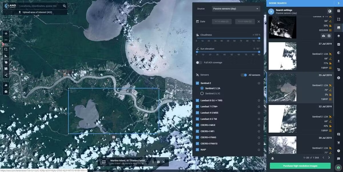
EOSDA LandViewer is an advanced and user-friendly satellite imagery platform that allows you to view and analyze live satellite images of Earth in one place. It lets you browse the largest satellite imagery catalogue, access trusted global datasets, and monitor land changes, assess vegetation health, and detect environmental shifts in real time. With its on-the-fly image processing, band combinations, and change detection tools, EOSDA LandViewer helps you turn raw satellite data into valuable insights for agriculture, environment, and urban monitoring. You can also save images to your personal account, compare historical data, and download high-quality visuals with ease. Designed for professionals and beginners alike, this all-in-one platform makes satellite data analysis simple, accurate, and fast, helping users make smarter decisions powered by Earth observation intelligence.
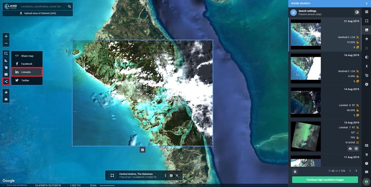
Table of Contents
- 1. Understanding the Contenders: A SaaS Platform vs. A Solutions Partner
- 2. The Core Data Offering: Comparing Resolution, Recency, and Sensor Types
- 3. The User Experience: How You Find, Order, and Receive Satellite Data
- 4. The Analytics Engine: On-Platform Tools vs. Custom-Built AI Models
- 5. Beyond the Image: Comparing DEM, DTM, and Other Value-Added Products
- 6. Full Comparison Table: XRTech Group vs. EOSDA LandViewer
- 7. The Verdict: Which Provider is Right for Your Specific Mission?
- 8. Frequently Asked Questions (FAQs)
In the rapidly evolving world of Earth observation, finding the right satellite imagery provider can feel overwhelming. The market is filled with options, but two distinct models have emerged for professional users: the powerful, analytics-focused SaaS platform and the deeply consultative, end-to-end solutions partner. Representing the best of these two approaches are EOSDA LandViewer and XRTech Group.
EOSDA LandViewer (from EOS Data Analytics) has made a significant impact with its user-friendly platform that combines a massive catalog of satellite imagery with powerful, on-demand analytical tools. On the other hand, XRTech Group has established itself as the go-to partner for enterprises and governments needing mission-critical, high-accuracy geospatial intelligence and custom-built solutions. This blog provides a comprehensive, 3000-word breakdown to help you understand the nuanced differences and decide which platform is the superior choice for your needs.
1. Understanding the Contenders: A SaaS Platform vs. A Solutions Partner
Before diving into technical specs, it's crucial to understand the fundamental difference in philosophy between these two providers.
EOSDA LandViewer: The Powerful SaaS Analytics Platform
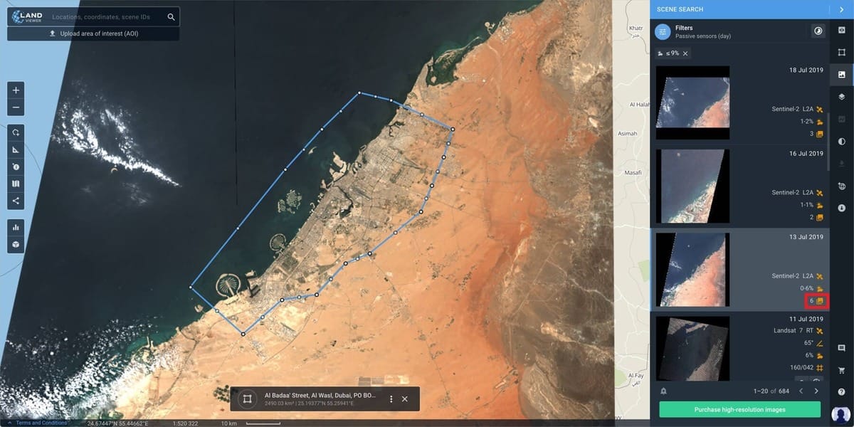
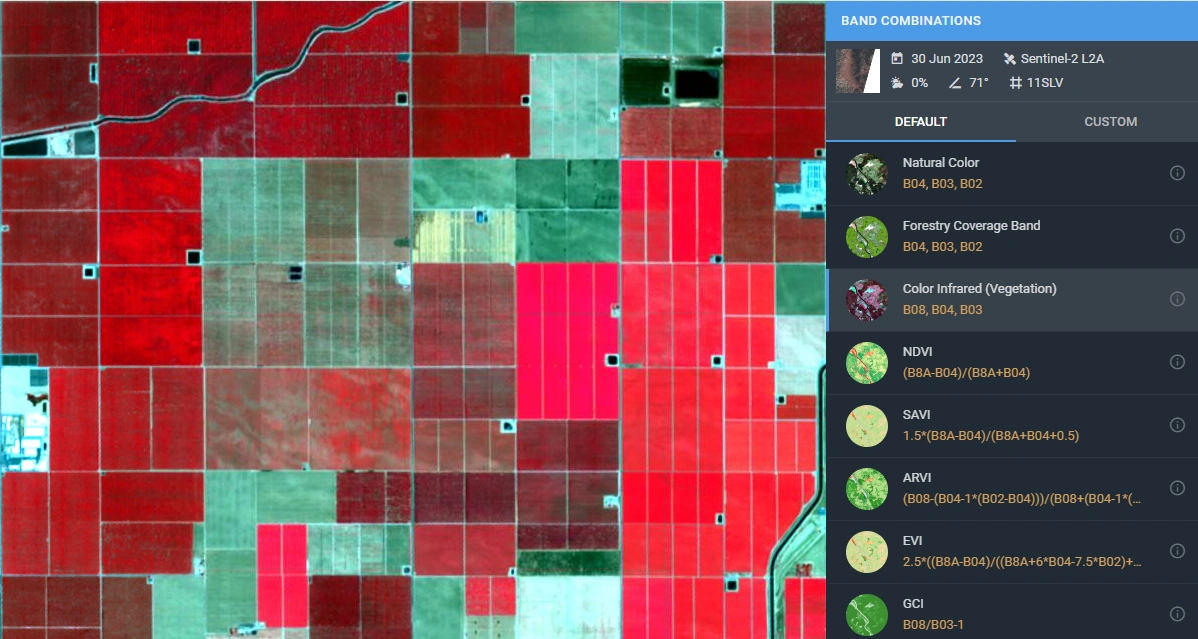
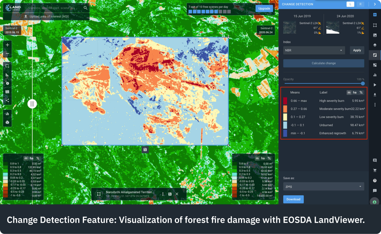
EOSDA LandViewer is, at its core, a powerful Software-as-a-Service (SaaS) tool. It provides a web-based interface that allows users to instantly search for, preview, and analyze a vast catalog of satellite images from both free sources (like Sentinel and Landsat) and commercial providers. Its primary strength lies in its on-platform capabilities. Users can apply various spectral indices (like NDVI for agriculture), perform change detection, and utilize other analytical features directly in their browser without needing specialized GIS software. It’s designed for users who want to perform their own analysis on readily available data in a streamlined, software-centric environment.
XRTech Group: The Integrated Geospatial Solutions Partner
XRTech Group operates on a different plane. We are not just a software platform; we are a comprehensive geospatial solutions partner. While we also provide access to a massive constellation of over 130+ satellites, our process is deeply consultative. We work with clients to understand their mission-critical objectives first. From there, we manage the entire data lifecycle: selecting the optimal satellite sensor, tasking new acquisitions with priority, processing the raw data into engineering-grade products, and developing custom AI models to extract the precise intelligence our clients need. Our focus is on delivering guaranteed accuracy and actionable results for complex, large-scale projects. Visit - Best Satellite Imagery and Drone Solutions
2. The Core Data Offering: Comparing Resolution, Recency, and Sensor Types
The quality and variety of the core data are paramount. Here's how the two providers compare.
Archive and Recent Satellite Imagery
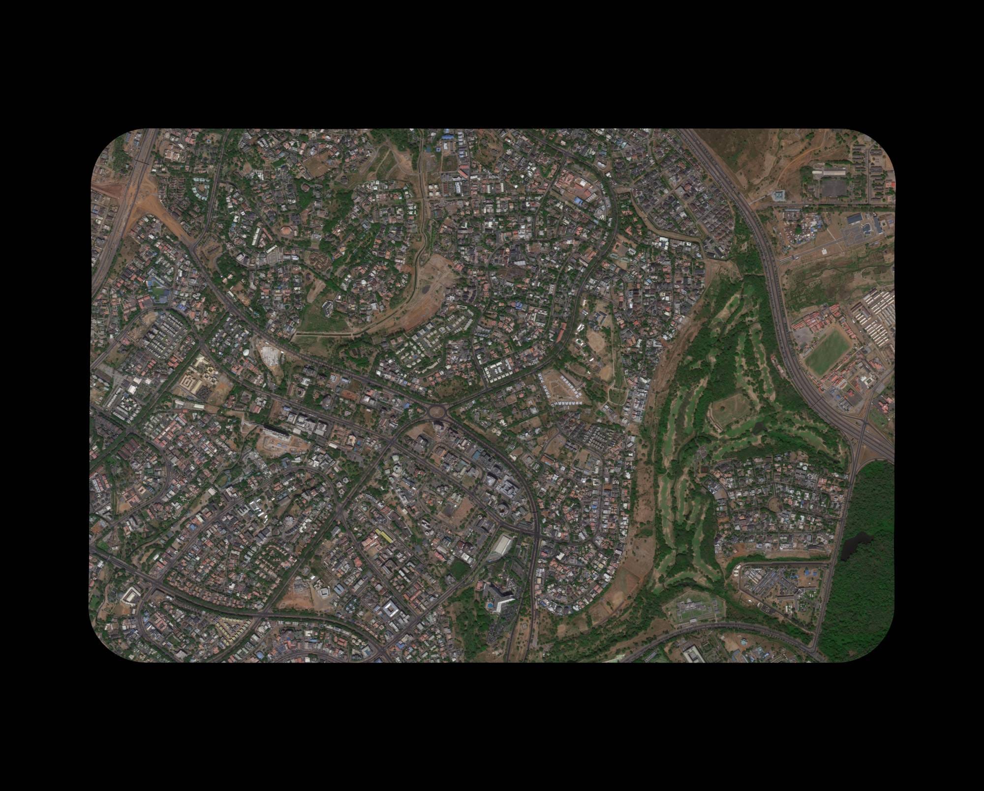
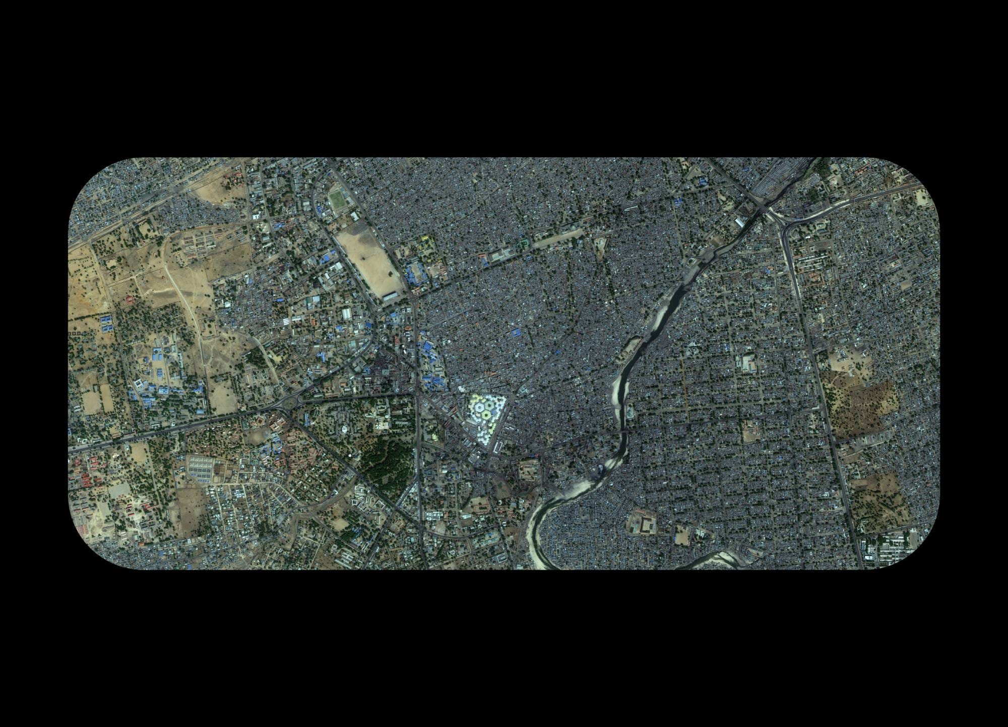
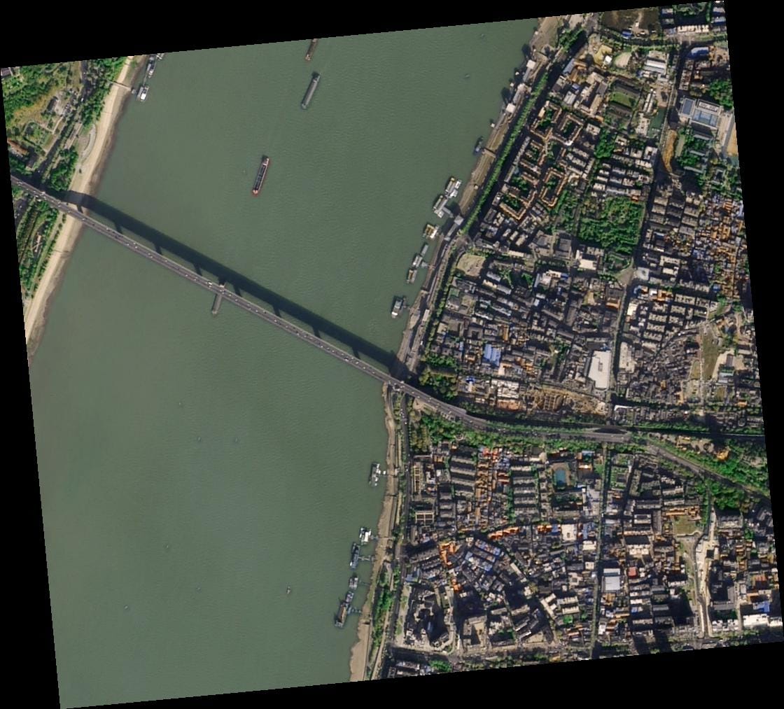
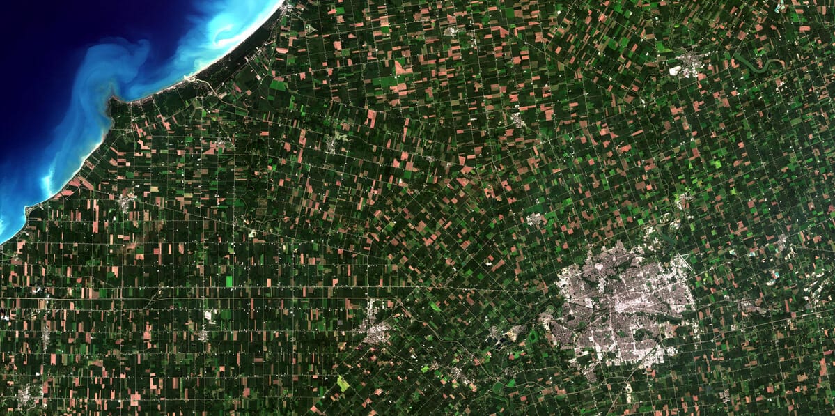
EOSDA LandViewer shines in its access to a massive, easily searchable archive. Its catalog includes years of data from open sources like Sentinel-2 (10m resolution) and Landsat (15-30m resolution), as well as commercial high-resolution data. This makes it an excellent tool for finding recent satellite imagery for historical analysis or general area monitoring.
XRTech Group also provides a vast archive dating back to 1999, but with a focus on quality and readiness. Our archived data is curated to meet high geometric accuracy standards, making it immediately usable for professional analysis. For recent satellite imagery, especially in time-critical situations, our new tasking capabilities often provide a faster path to acquiring the latest possible view of an area.
Resolution: High-Res vs. Engineering-Grade High-Res
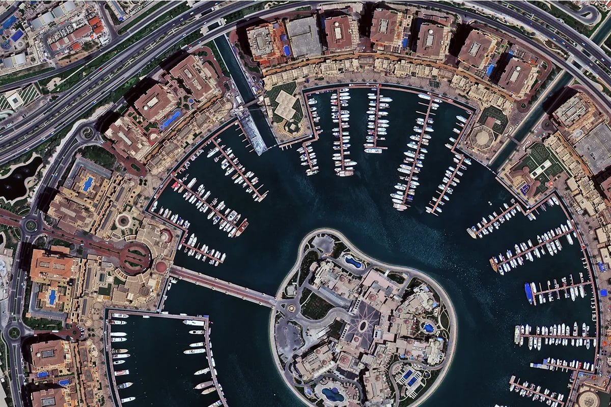
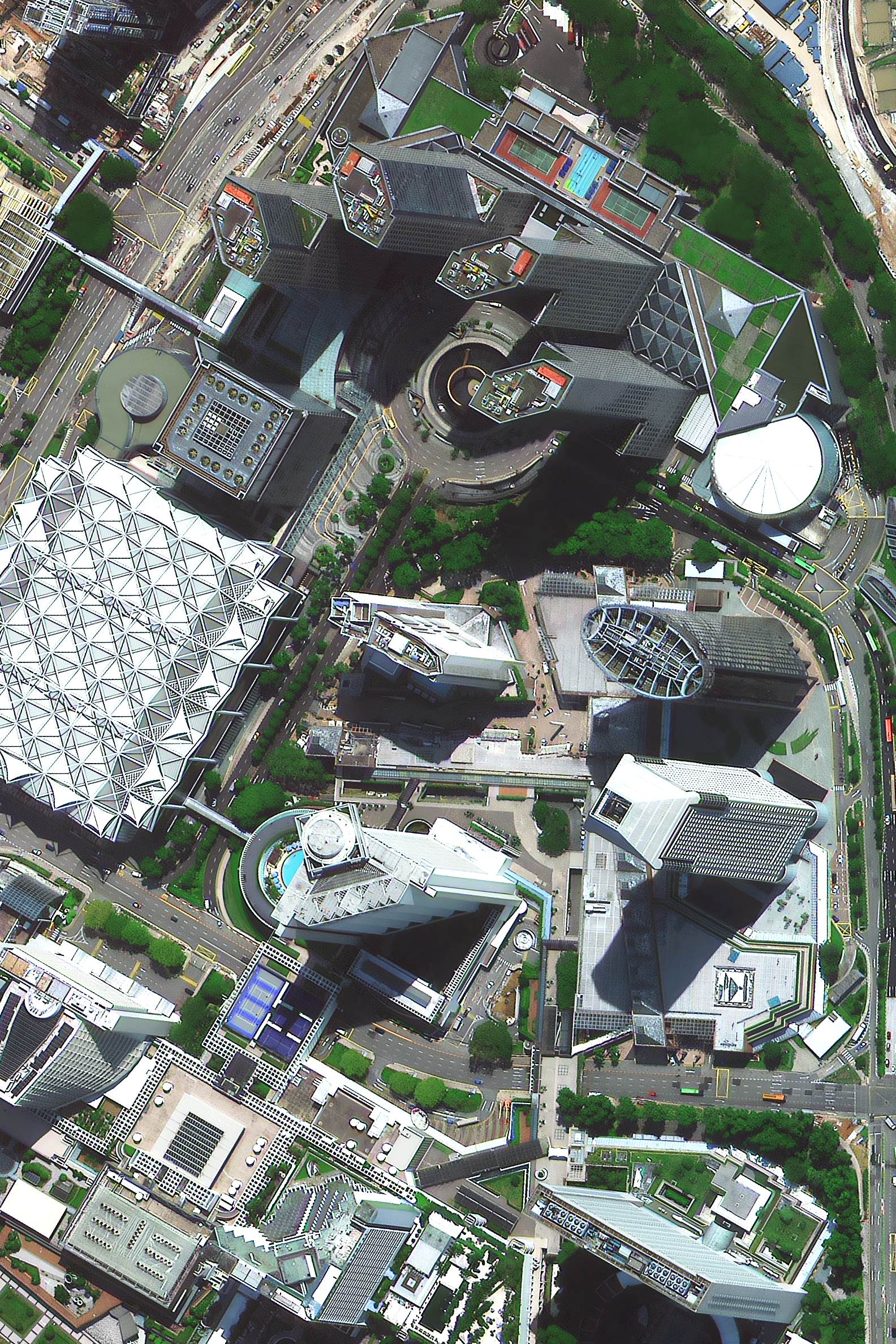
EOSDA LandViewer provides access to commercial VHR imagery down to the 30-50cm range, which is extremely detailed and suitable for most commercial applications, from urban planning to asset monitoring.
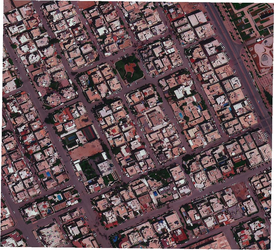
XRTech Group matches this by providing native 30cm resolution from satellites like Superview Neo-1. However, we go a step further by offering specialized 15cm HD processed products and, more importantly, guaranteeing the geometric accuracy (e.g., ±3m RMSE for our elevation models) required for serious engineering and infrastructure projects. This distinction is critical: while both can provide a sharp picture, XRTech delivers data certified for precision measurements.
Advanced Sensors: SAR and Hyperspectral
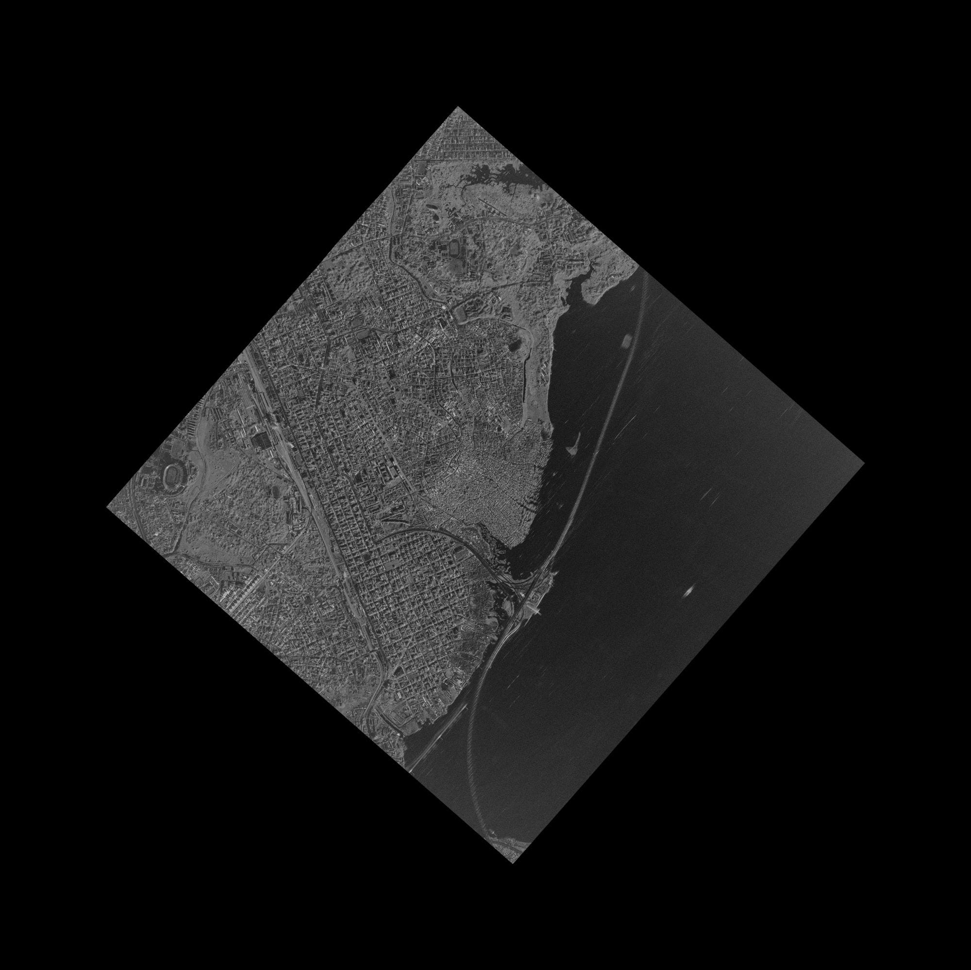
EOSDA LandViewer includes SAR data, most notably from the Sentinel-1 mission, which is invaluable for all-weather monitoring. This is a powerful feature for applications like flood monitoring and ship detection.
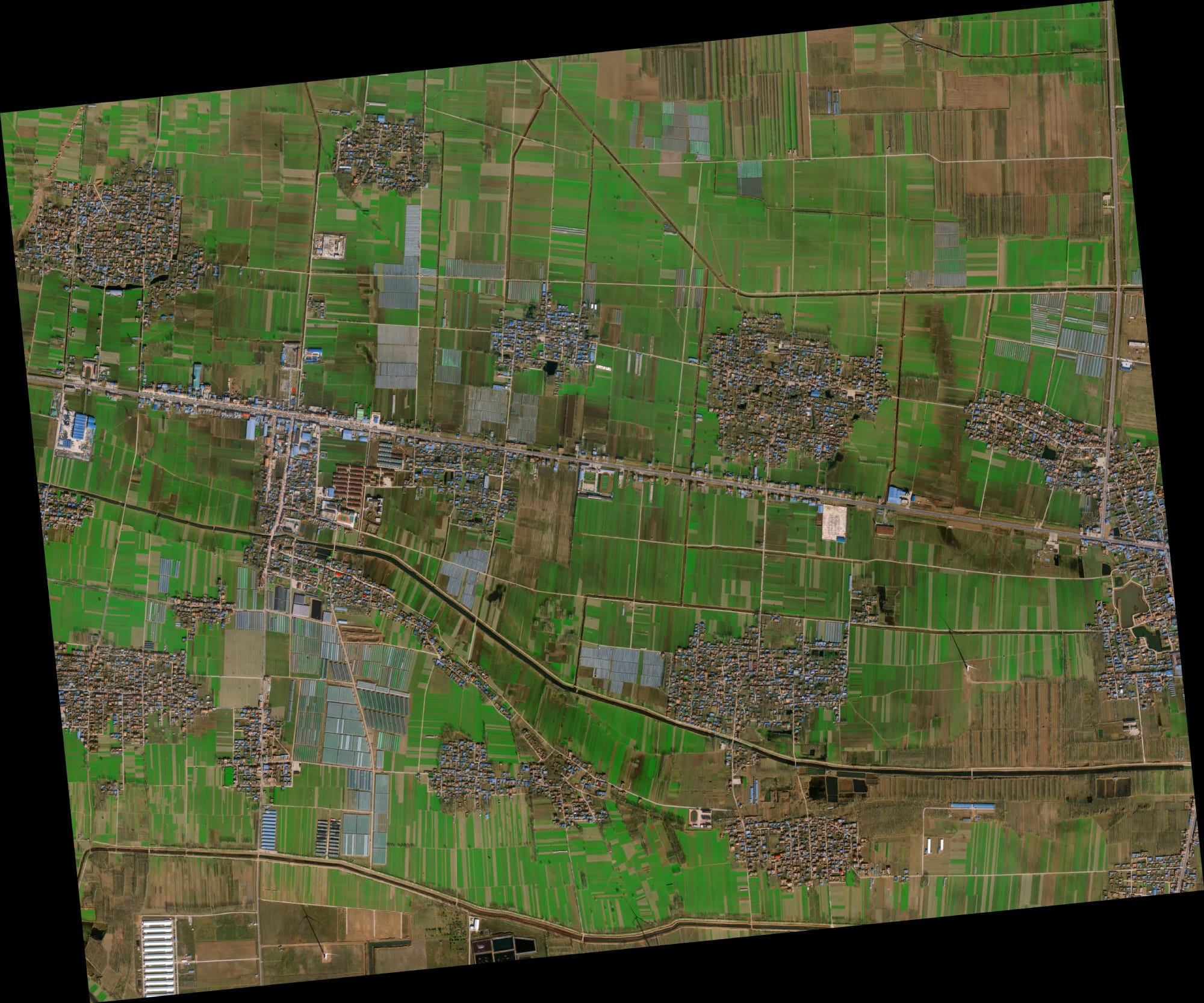
XRTech Group offers a more specialized and extensive portfolio of SAR sensors, including high-resolution C-band (GF-3) for surface detail and L-band (LT-1) for penetrating vegetation and dry soil. This is crucial for advanced applications in forestry and geology. Furthermore, we provide access to hyperspectral imagery, which captures hundreds of spectral bands to identify specific materials—a capability essential for mineral exploration that is not a standard feature in most SaaS platforms.
The Myth of Live View Satellite Imagery
Many users search for "live view satellite imagery," hoping for a real-time video feed from space. It's important to clarify that this technology does not exist for on-demand commercial use. However, XRTech Group offers the closest possible alternative: access to geostationary satellites like GF-4, which can revisit a location every 20 seconds. This near-real-time monitoring is designed for tracking dynamic events like wildfires or typhoons and represents the pinnacle of high-frequency observation.
3. The User Experience: How You Find, Order, and Receive Satellite Data
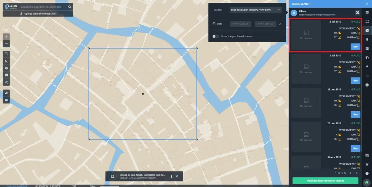
EOSDA LandViewer has a highly intuitive, map-based interface. Users can easily navigate, filter by date and sensor, and instantly preview available images. The process is self-service, empowering users to find and acquire data on their own terms. This is a major strength for those who are comfortable with GIS data and know exactly what they are looking for.
The XRTech Group experience is consultative. The process begins with our team of experts who work to understand your project goals. We then guide you to the most effective and cost-efficient data source, whether it's from our archive or a new tasking request. This approach prevents clients from inadvertently ordering the wrong type of data or imagery with unacceptable cloud cover, saving time and money in the long run. Our key advantage remains speed: with no U.S. export license delays, our new tasking delivery is often twice as fast as competitors.
4. The Analytics Engine: On-Platform Tools vs. Custom-Built AI Models
This is where the two providers truly show their different philosophies.
EOSDA LandViewer provides a rich suite of on-platform analytics tools. Users can perform tasks like creating time-series animations, applying spectral indices (NDVI, NDWI, etc.), and using pre-built change detection algorithms directly in the browser. Their EOSDA Crop Monitoring platform is a world-class, specialized tool for the agriculture industry. This is perfect for users who need access to standardized, powerful analytics without leaving the platform.
XRTech Group's analytics are delivered as a bespoke service. We don't offer a one-size-fits-all tool; instead, we build custom AI and machine learning models tailored to our clients' unique needs. This could mean training a model to identify specific types of infrastructure for an oil and gas company, detecting anomalies in construction progress for a developer, or creating highly specific land use classifications for a government agency. Our focus is on delivering actionable intelligence, not just analytical tools.
5. Beyond the Image: Comparing DEM, DTM, and Other Value-Added Products
EOSDA LandViewer offers access to standard elevation products, which are useful for general terrain analysis. Users can visualize the terrain in 3D directly on the platform.
XRTech Group specializes in the creation of custom, engineering-grade 3D models. Our core value-added products include:
- Digital Elevation Models (DEMs): High-accuracy models of the Earth's surface.
- Digital Terrain Models (DTMs): Highly detailed "bare-earth" models with all vegetation and structures removed, essential for hydrology and engineering.
- Digital Surface Models (DSMs): Models that capture the height of every feature on the surface, including buildings and trees.
We deliver these products with guaranteed vertical accuracy (e.g., ±3m RMSE), making them reliable enough for the most demanding construction and infrastructure projects—a level of certified precision not typically available from a self-service platform.
Need Certified Accuracy for Your Project?
When your engineering or planning decisions depend on precise elevation data, off-the-shelf models aren't enough. Our experts create custom DEMs, DSMs, and DTMs to meet the most stringent accuracy requirements.
Get a Quote for a Custom DEM6. Full Comparison Table: XRTech Group vs. EOSDA LandViewer
| Feature | XRTech Group | EOSDA LandViewer |
|---|---|---|
| Core Model | End-to-End Solutions Partner | SaaS Data & Analytics Platform |
| Highest Resolution | 30cm (15cm HD available) | 30-50cm (via partners) |
| Recent Imagery Access | Fastest new tasking (<7 days) | Excellent archive access, new tasking varies |
| Specialized Sensors | Extensive SAR (L/C-band) & Hyperspectral | Good SAR access (Sentinel-1), limited Hyperspectral |
| 3D Models (DTM/DSM) | Core Service (custom, engineering-grade) | Standard elevation data available |
| Analytics | Custom-built AI/ML models (Consultative) | Powerful on-platform tools (Self-Service) |
| Primary Industry | Enterprise (Infrastructure, Defense, Energy) | Agriculture, Forestry, Academia |
| User Experience | Expert consultation, project-managed | Self-service, map-based browser platform |
| Pricing | Tailored for enterprise value & TCO | Accessible, with free data tiers and pay-per-use |
XRTech Group vs EOSDA Satellite Imagery Pricing Comparison (2025)
| Feature | XRTech Group | EOSDA (EOS Data Analytics) |
|---|---|---|
| Archive Imagery Price (≤ 90 days old, high resolution) | 30 cm: $20/km² (min. 25 km²) 31–50 cm: $13/km² (min. 25 km²) 51–80 cm: $5/km² (min. 25 km²) 2 m: $1/km² |
0.3 m: $16 – $20/km² 0.4 m: $16 – $18/km² 0.5 m: $11 – $14/km² 0.65 m: $10/km² 0.75 m: $5/km² 0.8 m: $4.5 – $6/km² 1 m: $5.5/km² 2 m: $1.7 – $2.7/km² |
| New Tasking / Fresh Imagery Price (high resolution) | 30 cm: $30/km² (min. 100 km²) 31–50 cm: $20/km² (min. 100 km²) 51–80 cm: $8/km² (min. 100 km²) 2 m: $2/km² |
0.3 m: $24 – $30/km² 0.4 m: $24 – $27/km² 0.5 m: $16 – $23/km² 0.65 m: $16/km² 0.75 m: $12/km² 0.8 m: $10/km² 1 m: $8/km² 2 m: $8/km² |
| Starting Price for Lower-Resolution / Basic Imagery | $1 – $2/km² (2 m imagery) | $1.7 – $2.7/km² (2 m imagery) |
| Minimum Order Size / Area | Archive: 25 km² Tasking: 100 km² |
Varies by satellite and subscription; often no fixed minimum |
| High-Resolution Imagery Price (General Range) | $5 – $30/km² depending on resolution and urgency | $5 – $30/km² depending on resolution and revisit cycle |
| Ultra / Priority / Emergency Tasking | Priority: $45/km² Emergency: $80/km² Stereo: $60/km² Tri-Stereo: $90/km² |
Not publicly listed; handled via enterprise quote requests |
| Revisit Frequency (average) | 30 cm: Daily 31–50 cm: 1–3 days 51–80 cm: 3–5 days 2 m: 4–5 days |
0.3 m: Daily 0.4 m: 2 days 0.5 m: Daily 0.65 m: 5 days 0.75 m: 2 days 0.8 m: Daily 1 m: 5 days 2 m: 4 days |
| Specialized Data (SAR / Hyper / Multispectral) | Custom pricing — based on type (SAR, Multispectral, Hyperspectral) and urgency | Available in analytics packages; pricing on request |
| Subscription Model / Access Plans | On-demand per km² purchase; enterprise contracts available; no fixed monthly fee | Subscription-based (Essential, Professional, Enterprise) by area (1,000–5,000 ha+) |
| Live / On-Demand Tasking | Yes — standard, priority, and emergency tasking available | Available via enterprise agreement only |
| Archival Database / Historical Imagery | Vast multi-satellite archive; instant access for many regions | EOSDA LandViewer archive (Sentinel, Landsat, etc.) |
| Platform Type | XRTech Group Satellite Data Portal with pricing calculator | EOSDA LandViewer & Crop Monitoring Platform |
| Data Delivery Format | GeoTIFF, JPEG2000, DEMs, stereo pairs, orthorectified options | GeoTIFF, cloud viewer, analytics dashboards, or via API |
| Strengths | Transparent pricing, instant quotes, wide resolution range, suitable for mapping, engineering, and defense | Strong in analytics, agriculture, forestry, and environmental monitoring |
| Best For | Mapping, surveying, infrastructure, and defense professionals needing frequent high-resolution imagery | Agriculture, forestry, and environmental analysis with integrated monitoring solutions |
7. The Verdict: Which Provider is Right for Your Specific Mission?
The choice between XRTech Group and EOSDA LandViewer is not about which is "better" overall, but which is the right tool for your specific job.
You should choose EOSDA LandViewer if:
- You are an agronomist, researcher, student, or small business owner.
- Your primary need is to analyze trends using free or commercial satellite imagery with powerful, built-in tools.
- You are comfortable with a self-service model and have the expertise to perform your own analysis.
- Your project does not require certified, engineering-grade accuracy for its outputs.
You should choose XRTech Group if:
- You are an enterprise, a government agency, an engineering firm, or a large-scale agricultural operation.
- Your mission is critical and requires the highest possible accuracy and reliability.
- You need custom, value-added data products like a high-accuracy Digital Terrain Model (DTM).
- Speed is paramount, and you need the most recent satellite imagery via the fastest possible new tasking.
- You require a strategic partner to help you solve a complex problem, not just provide raw data.
In essence, EOSDA LandViewer puts a powerful GIS station in your web browser. XRTech Group puts a team of geospatial experts and a massive satellite constellation at your command. For those who need to buy high-resolution satellite imagery as part of a mission-critical solution, the choice is clear.
8. Frequently Asked Questions (FAQs)
What is the main difference between XRTech Group and EOSDA LandViewer?
The main difference is their business model. EOSDA LandViewer is primarily a SaaS platform for accessing and analyzing satellite data, with a strong focus on agriculture. XRTech Group is an end-to-end geospatial solutions provider that offers a consultative approach, specializing in high-accuracy, mission-critical data products and custom analytics for enterprise and government clients.
Can I get live view satellite imagery from either provider?
The term 'live view satellite imagery' is often a misconception. True live video from any location on Earth is not commercially available. However, XRTech Group offers the next best thing: access to satellites like GF-4 with a 20-second revisit rate for near-real-time monitoring of specific events, which is as close to live as the current technology gets.
Which platform is better for getting the most recent satellite imagery?
Both platforms can provide recent satellite imagery. EOSDA LandViewer has a vast catalog of recent scenes from various free and commercial sources. However, for time-critical new tasking, XRTech Group often has a significant speed advantage, able to deliver custom high-resolution imagery in under 7 days due to its direct constellation partnerships and lack of U.S. export delays.
Is EOSDA LandViewer cheaper than XRTech Group?
EOSDA LandViewer is very cost-effective for accessing free data (like Sentinel and Landsat) and for its on-platform analytics tools, especially for agricultural applications. XRTech Group's pricing is tailored for high-accuracy, enterprise-level projects and provides better value for large-scale acquisitions, custom processing, and mission-critical data needs.
What is the highest resolution available on EOSDA LandViewer?
EOSDA LandViewer provides access to very high-resolution commercial imagery from its partners, down to 30-50cm, which is suitable for a wide range of applications.
Can I get a custom Digital Terrain Model (DTM) from LandViewer?
EOSDA LandViewer provides standard elevation data products. XRTech Group, however, specializes in creating custom, engineering-grade Digital Terrain Models (DTMs) and other DEM products with guaranteed vertical accuracy (±3m RMSE), which are essential for serious infrastructure and construction projects.
Which provider is better for the agriculture industry?
EOSDA LandViewer is an exceptionally strong platform for the agriculture industry, with a suite of built-in tools for crop monitoring, NDVI analysis, and farm management. For large-scale agribusinesses needing specialized multispectral data or custom AI models, XRTech Group's consultative approach can provide a more tailored and powerful solution.
Does LandViewer offer SAR data?
Yes, EOSDA LandViewer offers SAR data from providers like Sentinel-1. XRTech Group also provides SAR data but offers more specialized options, including high-resolution C-band and vegetation-penetrating L-band sensors, backed by expert advice on which band to use for a specific objective.
What is the core strength of EOS Data Analytics?
The core strength of EOS Data Analytics is its powerful, user-friendly software platform (LandViewer and Crop Monitoring) that combines a massive data catalog with on-demand analytics tools. They excel at making complex geospatial analysis accessible to a broad audience, particularly in agriculture.
Why would an enterprise choose XRTech Group over a platform like LandViewer?
An enterprise would choose XRTech Group for mission-critical projects that require guaranteed accuracy, maximum speed, custom data products (like engineering-grade DTMs), and specialized analytics. The consultative partnership model ensures the final data solution is perfectly aligned with complex business objectives, which a self-service platform cannot always guarantee.