Choosing between satellite tasking and archived imagery depends on how current your data must be, how much control you need over image collection, and how much historical context your project requires. XRTech Group provides access to a constellation of more than 130 Earth observation satellites, allowing customers to use both archived imagery and newly tasked collections based on operational needs.
Understanding the differences between these two options helps ensure that projects receive the right data quality at the right time and cost.
What Is Archived Satellite Imagery?
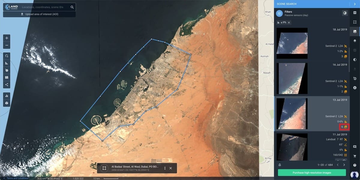
Archived satellite imagery refers to images that were already captured in the past and stored in satellite data libraries. These images can date back to 1999, creating a long historical record of the Earth’s surface.
Archive imagery is mainly used for:
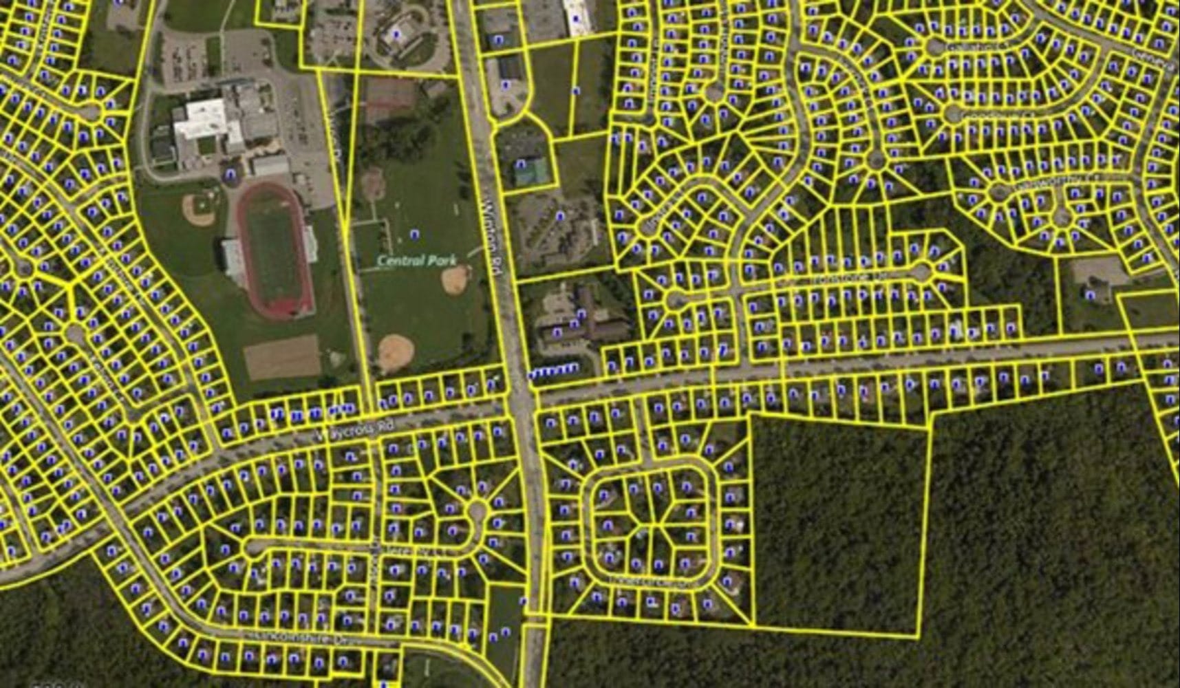
Historical change analysis such as urban growth or deforestation
Baseline mapping for planning projects
Research and reporting
Budget-focused projects that do not require current conditions
A “fresh archive” image usually means data that is at least 90 days old, which offers lower cost while still being relatively recent.
With archived imagery, users cannot control cloud cover, viewing angle, or time of capture because the image already exists.
What Is New Satellite Tasking?
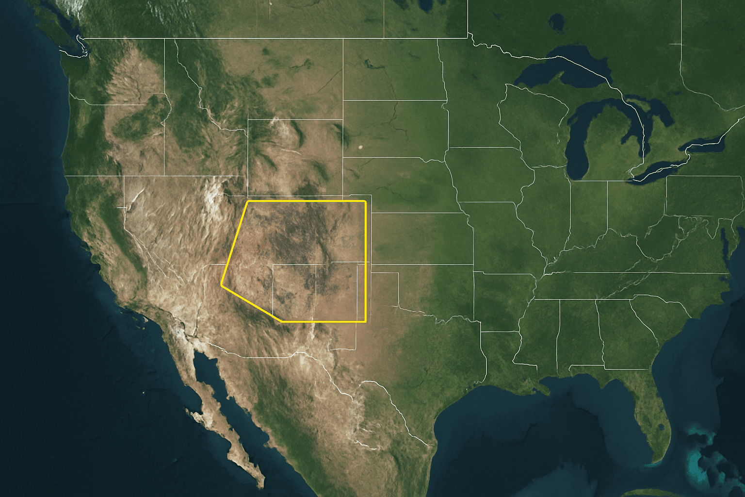
New satellite tasking is the process of commanding a satellite to capture new imagery over a selected Area of Interest at a specific time.
Satellite tasking is used when:
No suitable archive imagery exists
Regular monitoring is required
Higher resolution is needed
Specific sensor types are required
Timing is critical, such as after floods or earthquakes
XRTech Group offers three tasking priority levels:
- Standard Tasking: Scheduled based on normal satellite orbit availability.
- Priority Tasking: Faster collection by assigning higher scheduling priority.
- Emergency Tasking: Fastest option, with imagery delivered in as little as 24 hours for disaster response and urgent events.
How They Are Different
| Feature | Archived Imagery | Satellite Tasking (New Images) |
|---|---|---|
| Freshness | Data captured in the past, available since 1999 | Newly captured images of a specific area |
| Availability | Instant access from existing databases | Dependent on satellite orbits and tasking priority |
| Cost | Most affordable option | Higher cost due to dedicated satellite use |
| Control | No control over historical cloud cover or viewing angle | Full control over cloud cover, off-nadir angle, and spectral bands |
Archived imagery is best for historical analysis and background mapping, while satellite tasking is designed for projects that require current and customized image capture.
Archived vs Historical Imagery
Archived imagery provides a long-term visual record of the Earth’s surface, with datasets extending back to 1999. This makes it valuable for studying long-term changes such as urban expansion, deforestation, coastline movement, and infrastructure growth.
Fresh archive usually refers to imagery that is at least 90 days old. It offers a balance between relatively recent data and lower pricing compared to new tasking. Many users rely on archive imagery for baseline mapping, visual reference, and time series analysis where exact timing is not critical.
Archived imagery is widely used for research, reporting, and one-time analysis where the current condition of the ground is not essential.
Sensors and Technical Capabilities at XRTech Group

XRTech Group works with advanced satellites including SuperView Neo-1 (30 cm), SuperView-2 (40 cm), SuperView-1 (50 cm), and the Gaofen GF series (GF-1 to GF-7).
Available sensor types include:
Optical Panchromatic and Multispectral
Infrared and Hyperspectral
SAR for day-and-night and all-weather imaging
Resolutions range from 30 cm to 50 meters, depending on mission type.
Spectral bands include standard RGB and Near Infrared, with advanced satellites providing Red Edge and multiple NIR bands. Hyperspectral sensors analyze hundreds of narrow bands between 400 and 2500 nanometers, enabling material identification and mineral mapping.
Archived vs New Tasking Imagery Pricing and Cost Comparison
Minimum order sizes are typically:
25 km² for archive imagery
100 km² for new tasking
| Resolution | Archive Price | New Tasking Price |
|---|---|---|
| 30 cm | $20 per km² | $30 per km² |
| 50 cm | $14 per km² | $22 per km² |
| <1 m | $5 per km² | $10 per km² |
| 2 m | $1 per km² | $2 per km² |
Additional cost factors:
Emergency tasking up to $80 per km² for 30 cm
Stereo and tri-stereo collections cost 2x to 3x
Low cloud guarantee of 10 percent can add $8 per km²
Applications
- Agriculture: Archive data supports seasonal analysis. Tasking supports crop health monitoring and irrigation planning.
- Urban Planning: Archive imagery builds base maps. Tasking detects illegal construction and urban expansion.
- Mining and Geology: Tasking supports hyperspectral mineral mapping and tailings monitoring.
- Disaster Management: Emergency tasking delivers flood and damage maps within 24 hours.
Which One Should You Choose?
Choose archived imagery if:
You need historical data
Budget is a priority
Your project does not require current conditions
Choose satellite tasking if:
You need fresh imagery
You require repeated monitoring
You need control over cloud cover and angle
You need specific sensor types
Why Choose XRTech Group
XRTech Group provides:
Access to 130+ satellites
Optical, SAR, and hyperspectral coverage
Resolution from 30 cm to 50 m
Priority and emergency tasking
Cloud-based processing and fast delivery
Non-US data supply chain avoiding export restrictions
30-day money-back guarantee on data quality
XRTech Group combines technical capability with commercial flexibility for global satellite data users. Contact us Now!
Conclusion
Archived satellite imagery is best for historical and budget-focused projects. New satellite tasking is best for real-time monitoring and controlled image capture. XRTech Group enables both options with advanced sensors, transparent pricing, and fast delivery.

