
Buy Archive Satellite Imagery — Historical Earth Observation Data from 1999
XRTech Group gives you immediate access to one of the largest commercial satellite imagery archives available — with historical earth observation data going back to 1999. Purchase archived optical imagery, SAR satellite data and hyperspectral imagery for any area of interest — delivered within 48 hours, no export licence required.
- Media and publishing — high-resolution satellite images for editorial, broadcast and single-use commercial projects, with publication-ready licensing included.
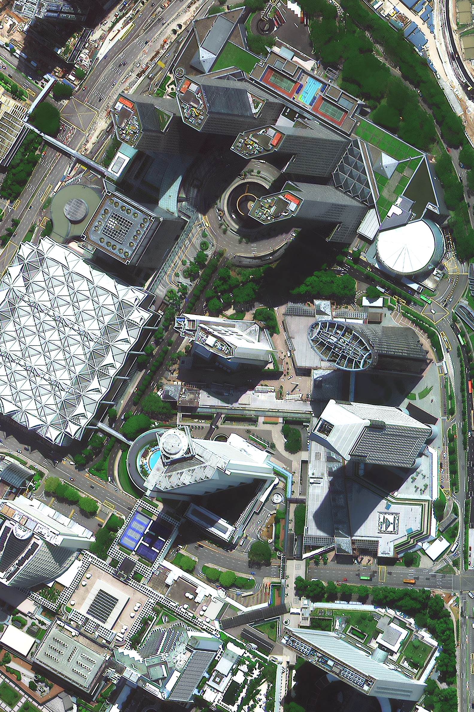
- Visual identification and site verification — remotely locate specific structures, land boundaries, assets and objects using sub-metre optical imagery without site visits.
- GIS base map creation for urban planning — georeferenced satellite imagery in GeoTIFF, SHP and DWG formats, ready to load directly into QGIS, ArcGIS or AutoCAD.
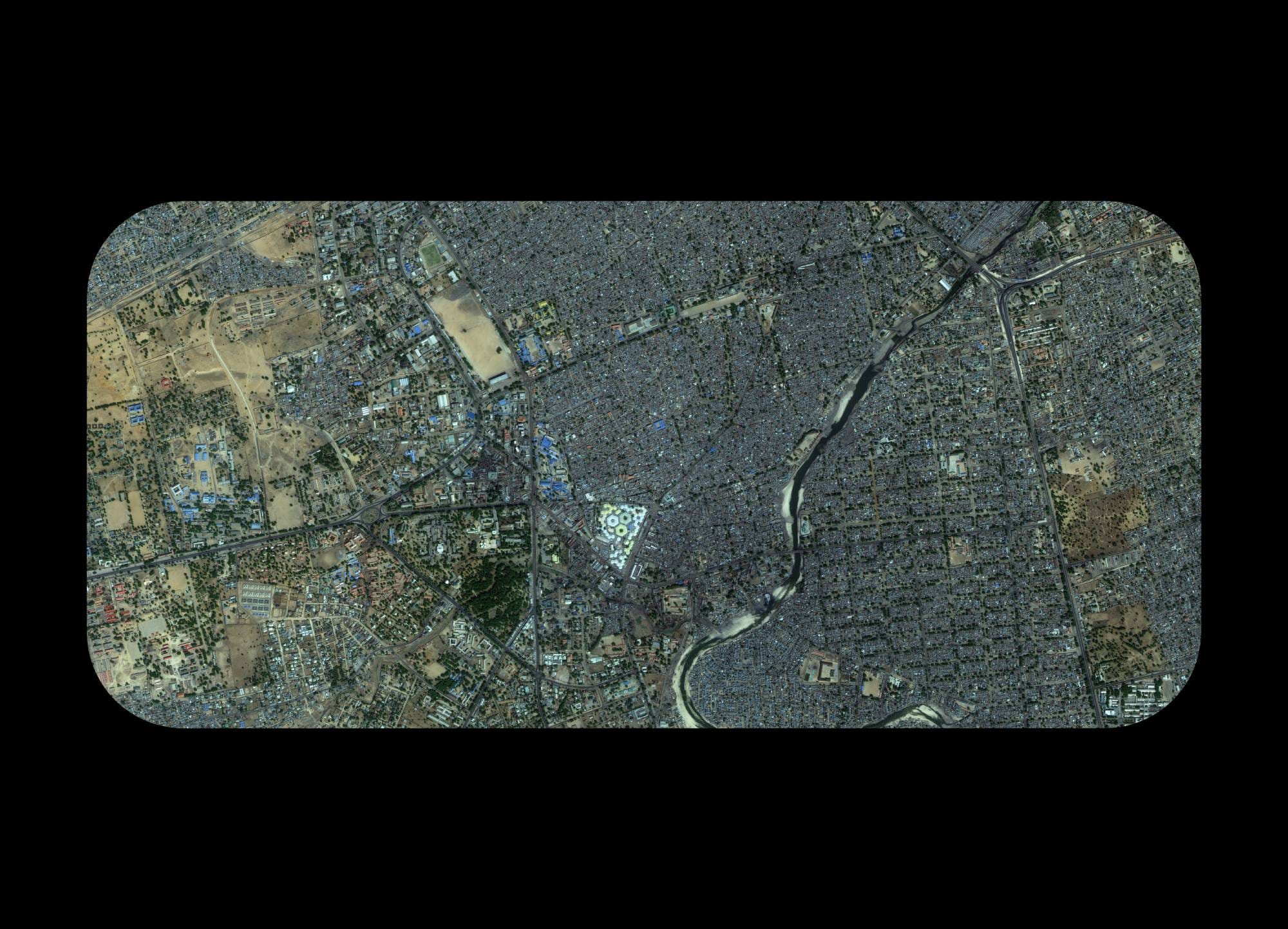
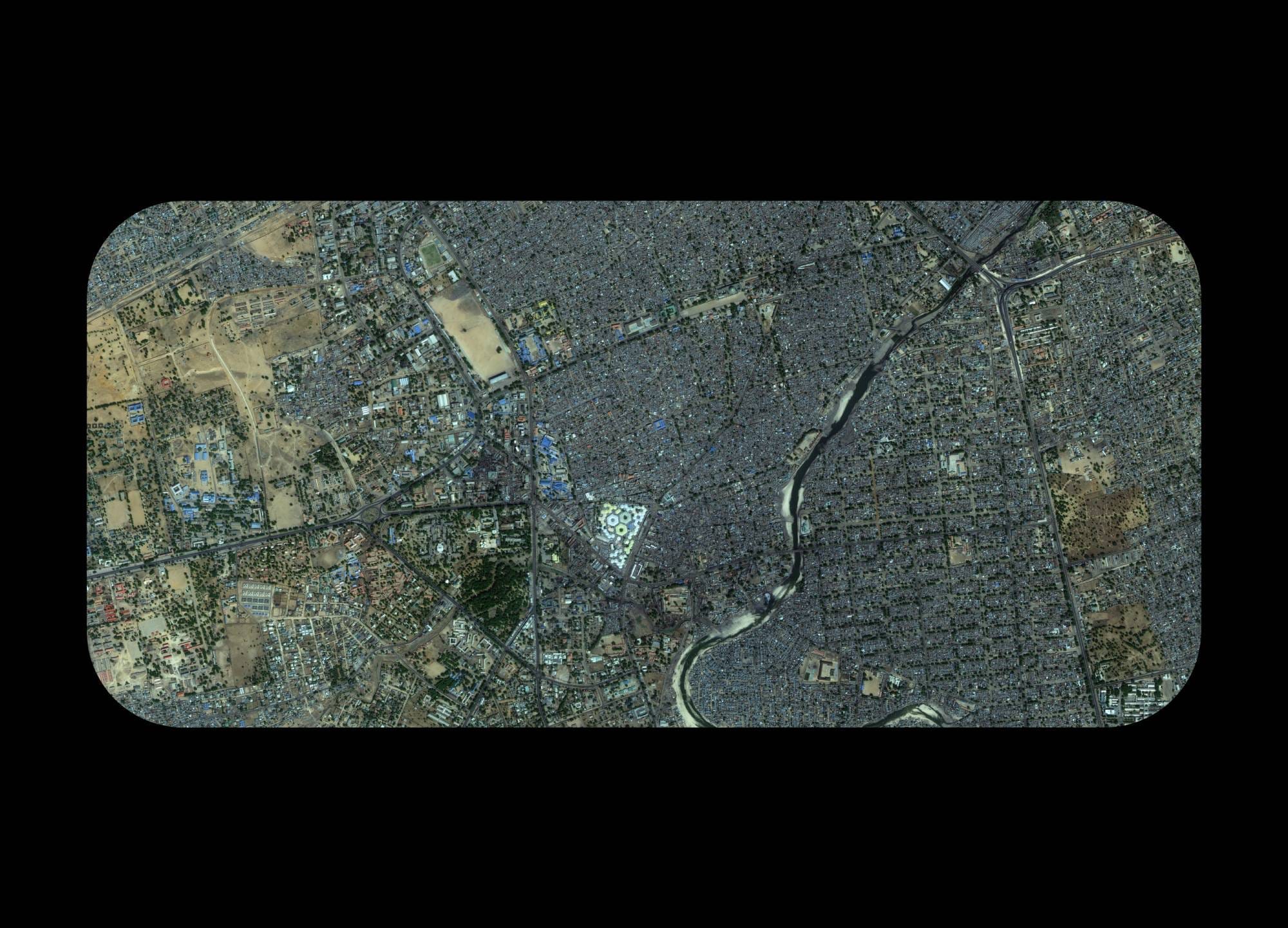
- Historical land use and change detection analysis — compare archive imagery across years to track deforestation, urban expansion, coastal erosion, infrastructure development and agricultural shifts over time.
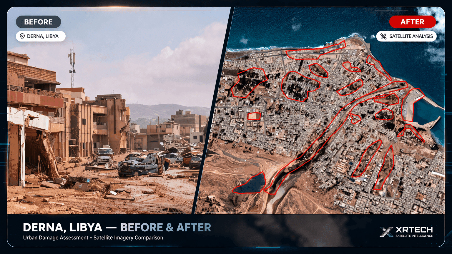
- Insurance risk assessment and claims verification — use pre-event and post-event satellite imagery to assess property damage, flood extent and environmental liability accurately and remotely.
On-Demand Satellite Tasking — Order Fresh High-Resolution Imagery for Any Location
When archive data is not available or insufficient for your project, XRTech Group's on-demand satellite tasking service captures fresh, targeted imagery of your exact area of interest — at 30cm to 2m resolution, with delivery in under 7 days. As a non-US satellite imagery provider, we operate without ITAR or EAR export restrictions, getting your data faster to customers across the Middle East, Africa and Asia.
- No archive data exists for your time period — new tasking captures imagery on a date you specify, giving you current, accurate ground truth that no archive can provide.
- Your AOI (Area of Interest) requires full, cloud-free coverage — we schedule tasking with optimal sun angle and cloud cover settings to guarantee usable imagery for your project boundary.
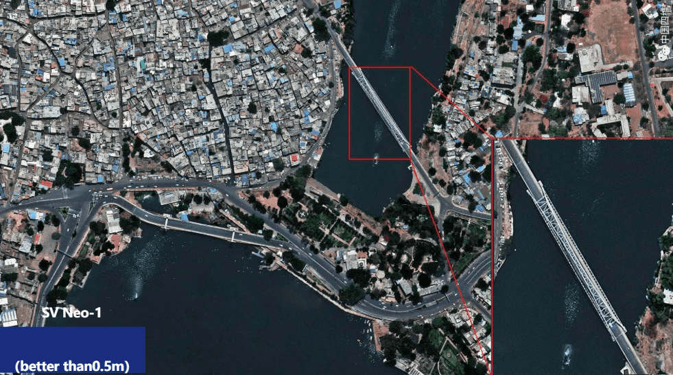
- Sub-metre resolution is critical for your application — order 30cm super high-resolution satellite imagery for engineering surveys, military intelligence, gold and mineral exploration or precision agriculture.
- Ongoing monitoring with scheduled satellite revisits — set up recurring capture at daily, weekly or monthly intervals to track construction progress, environmental change or border activity over time.
- Specialist spectral data is required for analysis — task satellites for panchromatic, multispectral, stereo or tri-stereo imagery to support 3D modelling, NDVI mapping or spectral fingerprinting workflows.
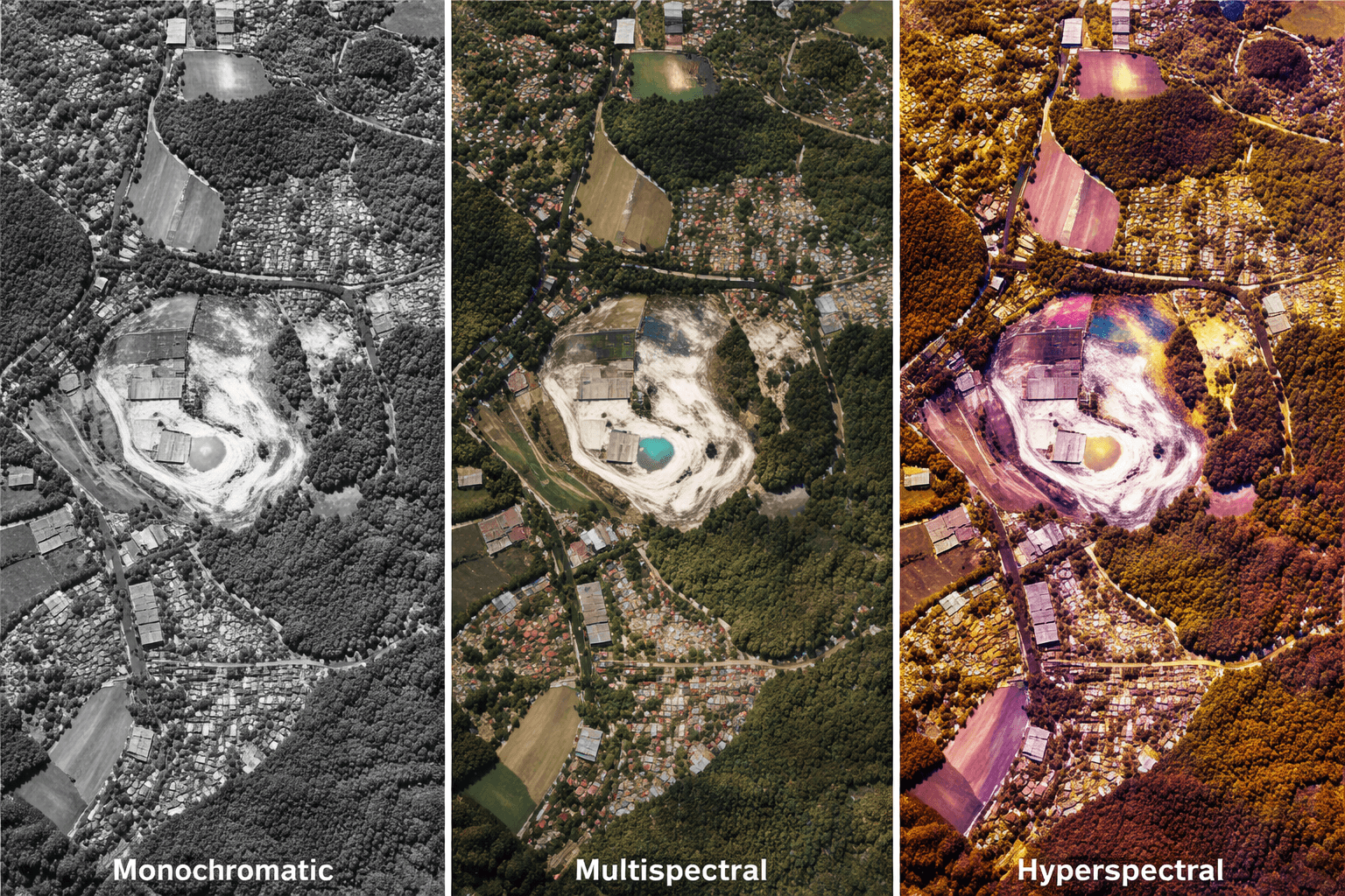
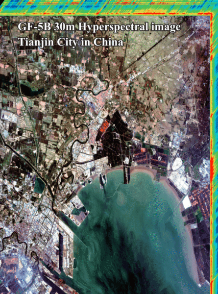
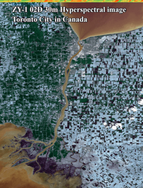
Available spectral bands and satellite imagery types
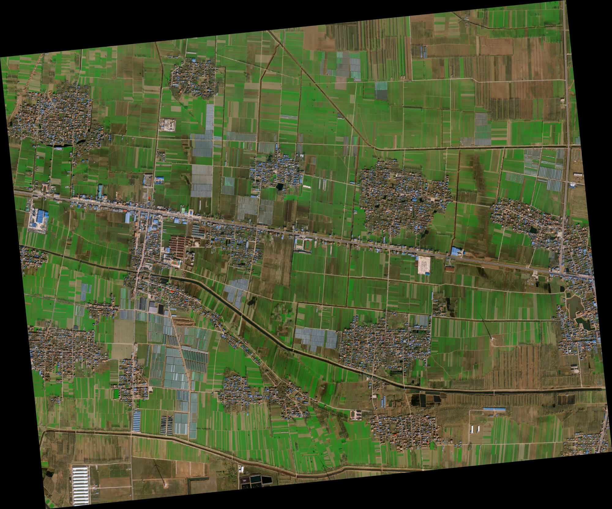
Our 130-satellite constellation captures data across panchromatic, red, green, blue and near-infrared (NIR) bands. Select sensors — including SuperView-2 — extend coverage to purple, yellow, red edge, NIR1 and NIR2 bands for specialist vegetation, geological and water quality analysis.
Buy satellite imagery in panchromatic, multispectral, infrared and hyperspectral formats — each calibrated to different earth observation and satellite data analysis requirements including land cover classification, mineral detection and carbon monitoring.
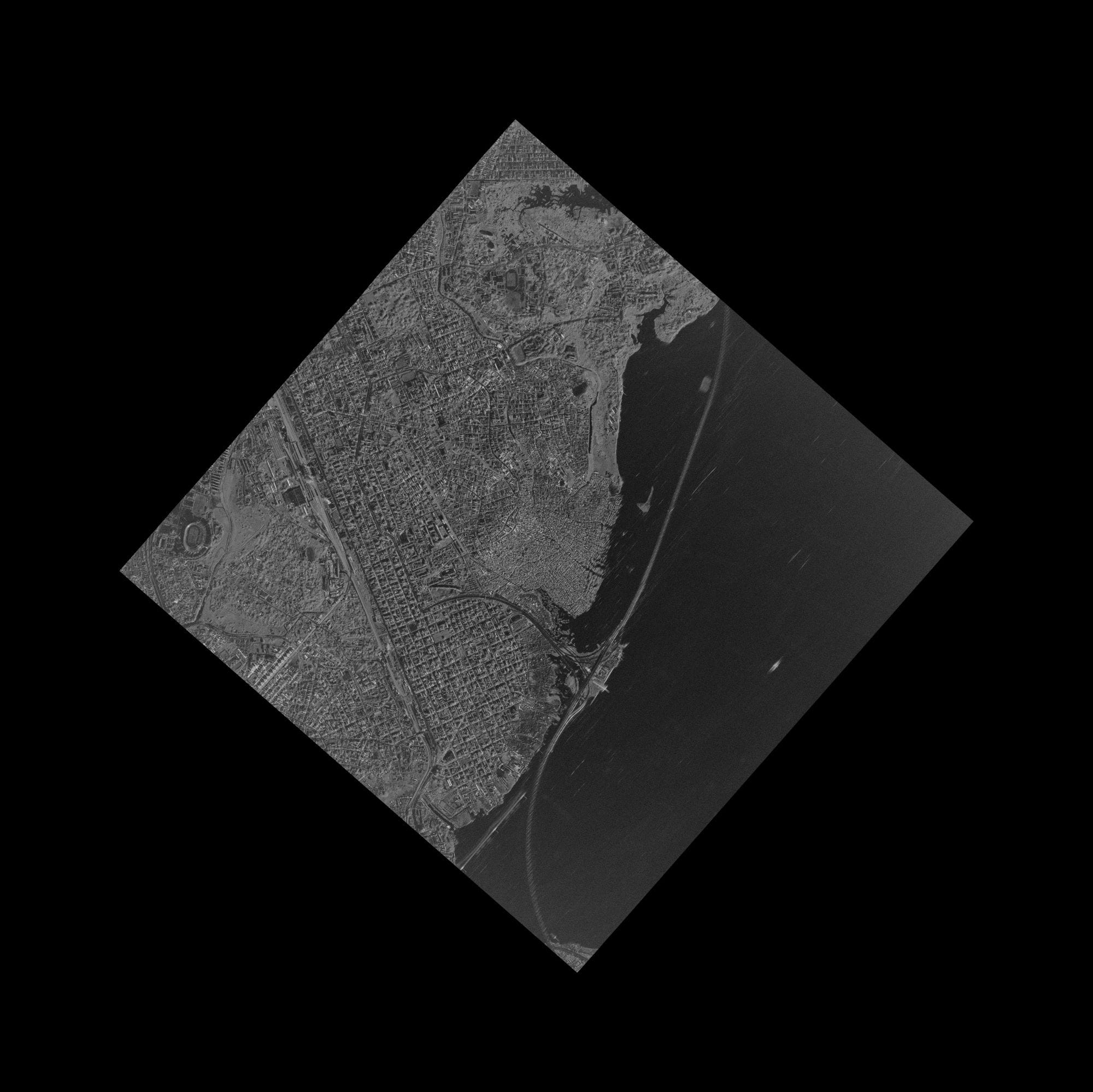
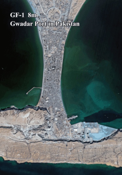
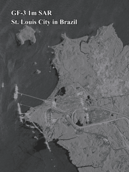
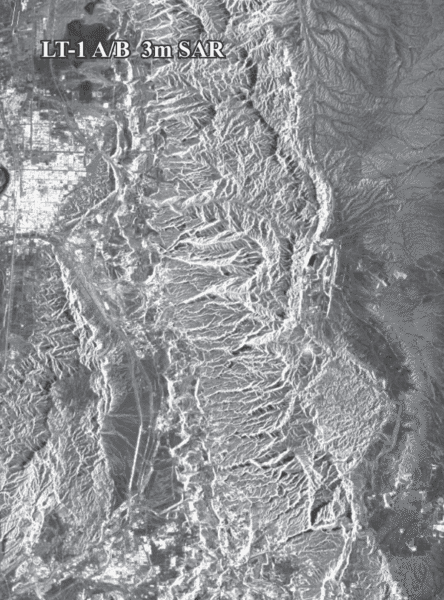
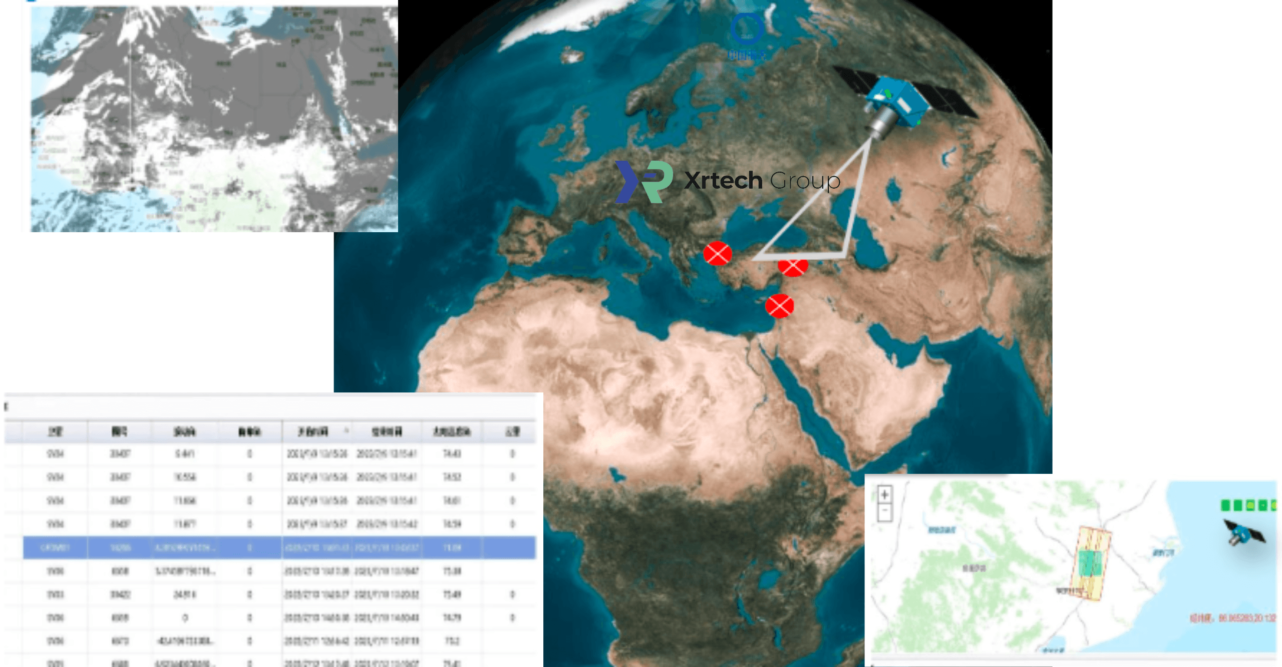
SAR (Synthetic Aperture Radar) satellite imagery delivers all-weather, day-and-night monitoring — penetrating cloud, smoke and darkness to provide reliable ground data where optical sensors cannot operate.
Value-Added Geospatial Products — Beyond Raw Satellite Imagery
Raw satellite imagery is just the start. XRTech Group delivers fully processed, analysis-ready geospatial data products — integrated directly into your GIS, engineering or smart city workflows. Every product is delivered in your preferred coordinate system with publication-ready licensing.
Buy Satellite Imagery — Optical, SAR,
Multispectral and Hyperspectral Data
XRTech Group offer you direct access to four satellite data types from a single source, with no export license delays for customers across the Middle East, Africa and Asia.

- Urban planning and smart city mapping
- Construction and infrastructure monitoring
- Disaster damage assessment
- Real estate and property inspection
- All-weather and night-time monitoring
- Oil spill detection and vessel tracking
- Flood mapping through cloud cover
- Pipeline deformation monitoring via InSAR
- Precision agriculture and NDVI analysis
- Land use and land cover classification
- Water quality assessment
- Environmental and carbon monitoring

- Mineral and gold exploration
- Agriculture pest and disease detection
- CO₂ and emissions monitoring
- Water pollution source identification
All four imagery types available from one order
Multi-sensor delivery coordinated by XRTech — georeferenced, in your format, with a free sample tile before you commit.


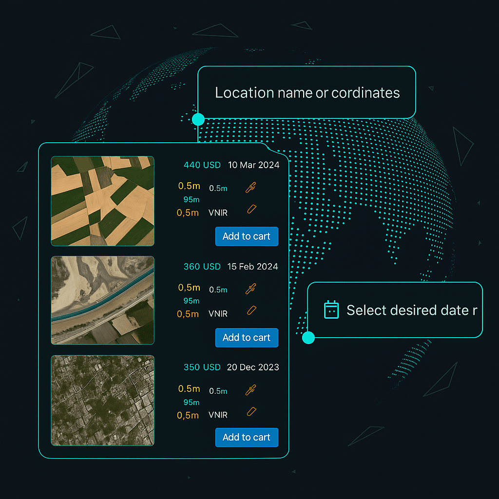
How to Buy Satellite Imagery
from XRTech in Four Steps
From area selection to delivered GeoTIFF — archive orders arrive in 48 hours, new tasking in under 7 days.
Select Your Area of Interest
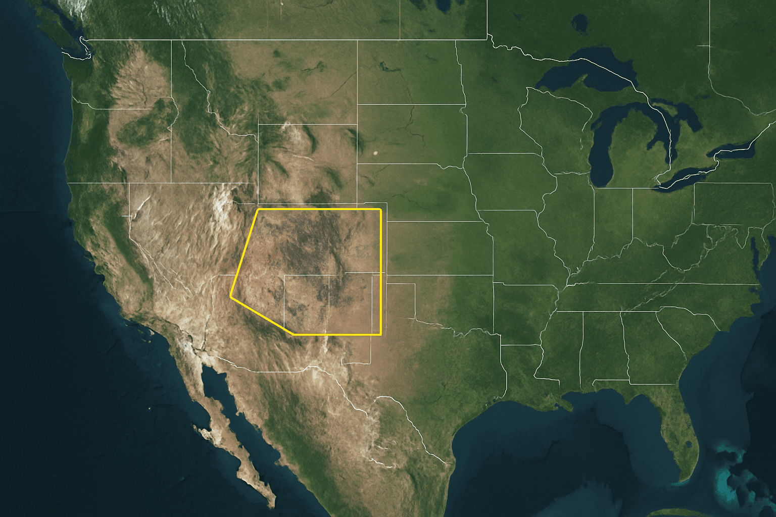
Share your AOI using any of the formats below. XRTech covers any location globally — no area is too remote or restricted for our non-US satellite constellation.
- Upload a KMZ, KML or Shapefile boundary
- Share GPS coordinates or a bounding box
- Draw your area directly on our request form
- Minimum 25 km² for archive, 100 km² for new tasking
Choose Resolution and Imagery Type
Select from optical, SAR, hyperspectral or DEM data based on your project. Archive imagery from 1999 is the lowest price. New tasking is available at standard, priority or emergency speed.
- 30cm to 2m optical imagery — visual analysis and mapping
- SAR imagery — all-weather, day and night imaging
- Hyperspectral data — mineral detection and agriculture
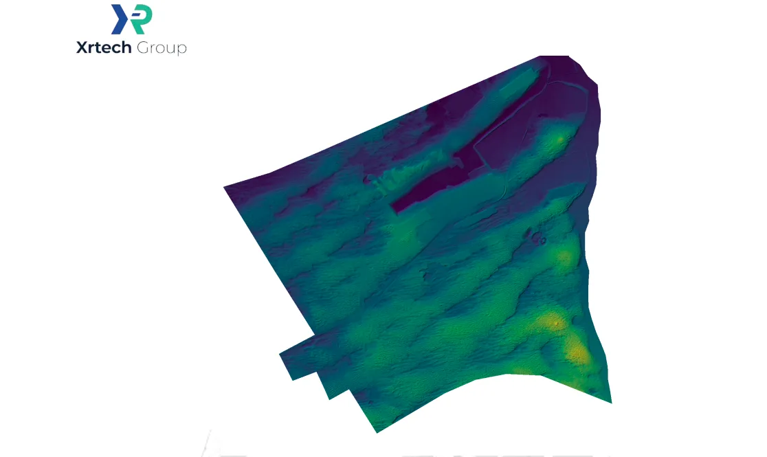
- DEM / DSM / DTM — elevation models for engineering
 View Full Pricing
Receive Your Quote Within 24 Hours
XRTech responds to every enquiry within 24 hours with a firm price, confirmed delivery timeline and a free sample tile for your region. Once you approve we place the order directly with the satellite operator.
- Firm quote with exact price per km² and total cost
- Free sample satellite image tile may be included
- Confirmed delivery date before you pay anything
 Request Free Sample
Download Your Imagery Data
Data is delivered via secure cloud link or physical HDD for large volumes. All formats load directly into QGIS, ArcGIS, AutoCAD and any GIS or CAD platform with no conversion needed.
- GeoTIFF, IMG, SHP and DWG formats available
- WGS84, UTM or custom coordinate projections
- Archive orders delivered within 48 hours of approval
- New tasking delivered in under 7 days from capture
 Place Your Order

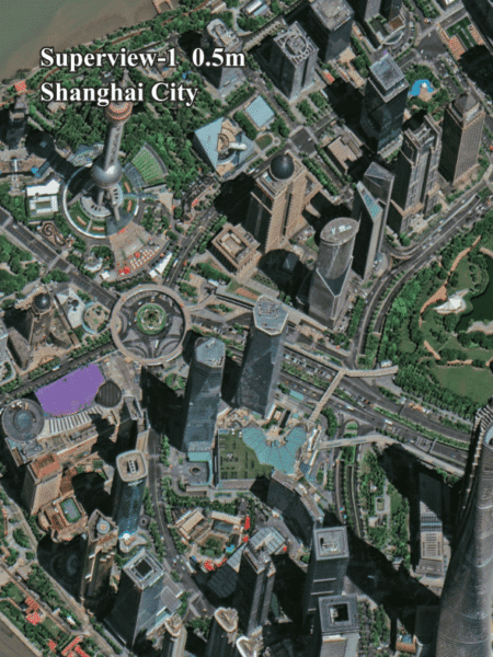

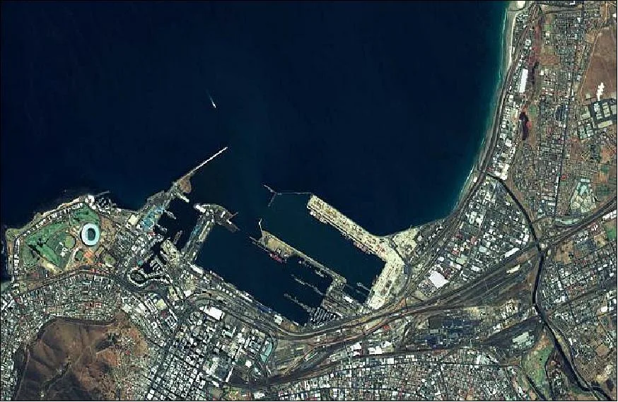
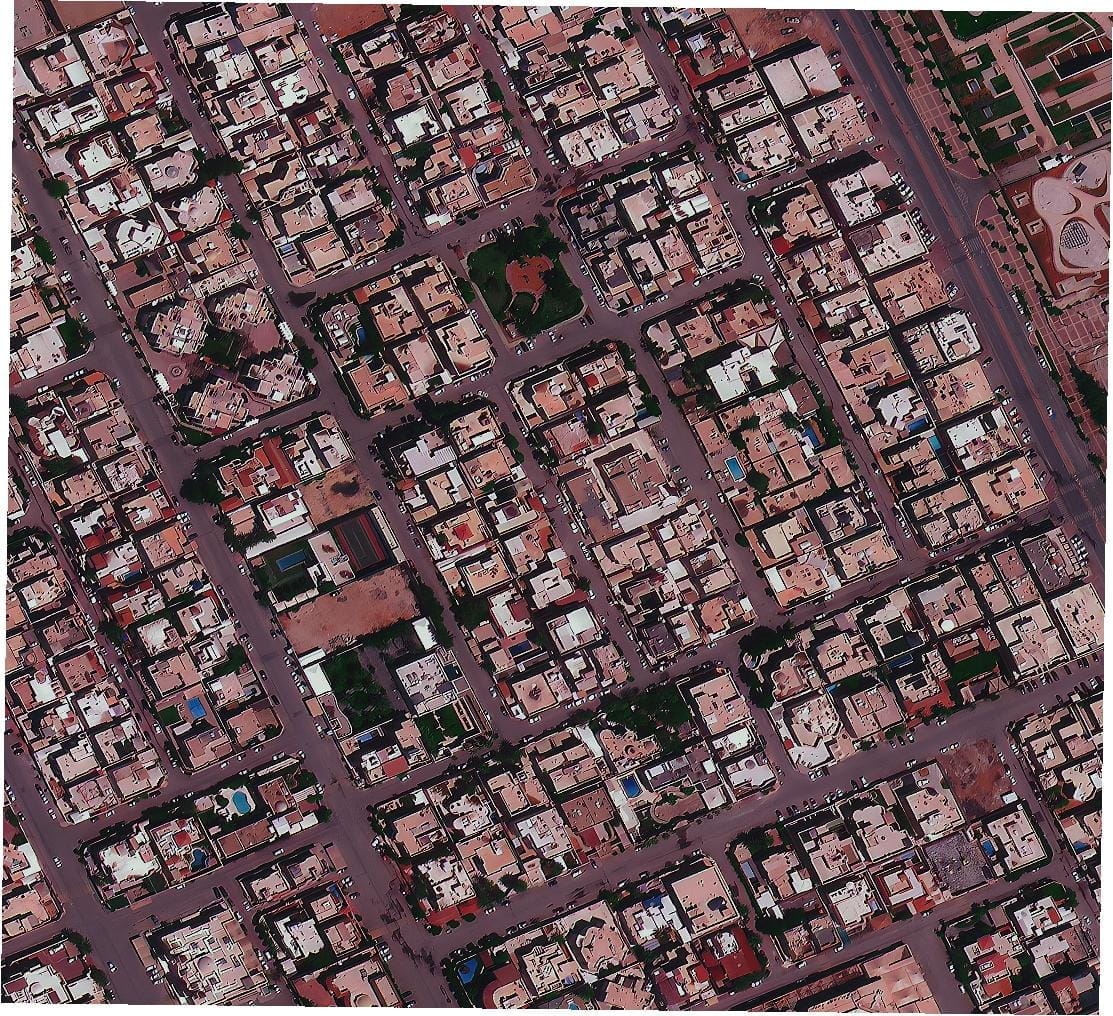
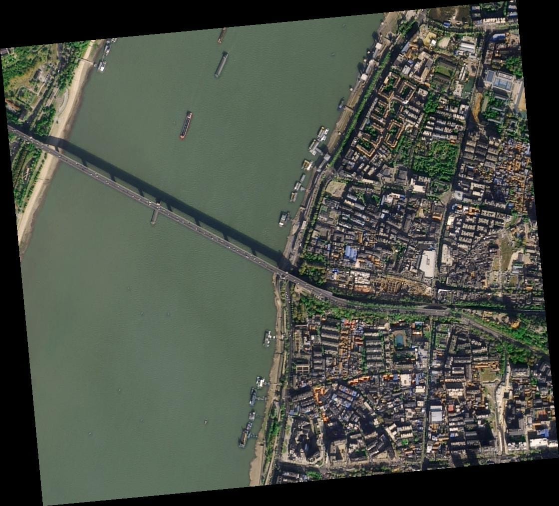
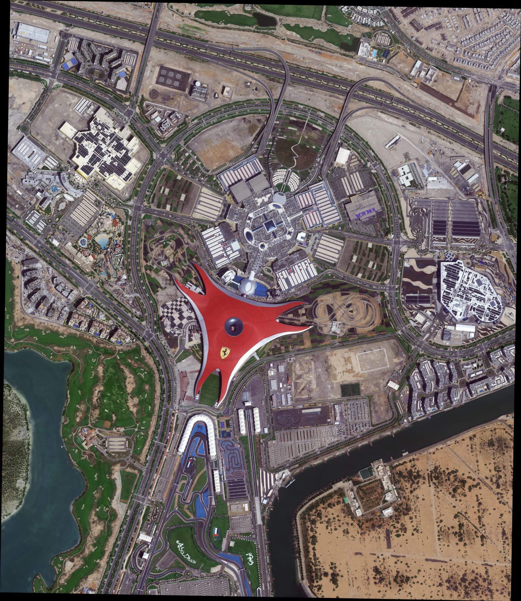
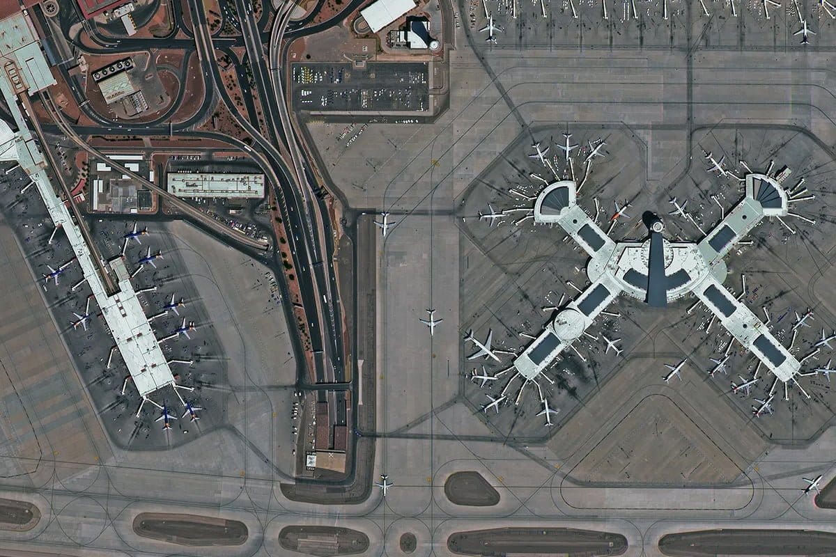
When you decide to buy high-resolution satellite images, you need accuracy, speed, and reliability. XRTech Group partners with leading satellite imagery provider with 130+ Satellites in the space to ensure you get the most detailed and up-to-date data available. With resolutions as sharp as 30 cm per pixel, you can monitor key areas, analyze changes, and make critical decisions with confidence.
Our platform offers:
- High-Resolution Data: We offer up to 30cm resolution for detailed satellite imagery.
- Flexible Collection Options: Choose from archive data, standard requests, priority collection, or emergency imaging.
- Custom Order Sizes: Whether you need 25 km² or 100 km², we have flexible minimum order sizes.
- Competitive Pricing: Affordable rates with transparent pricing for different needs.
- Real-time satellite awareness for up-to-the-minute data.
- A comprehensive satellite imagery archive for historical analysis.
- The ability to task satellites and acquire new images on demand.
- An easy-to-use online system for quick and secure purchases.