
Free GIS and Satellite Tools Online
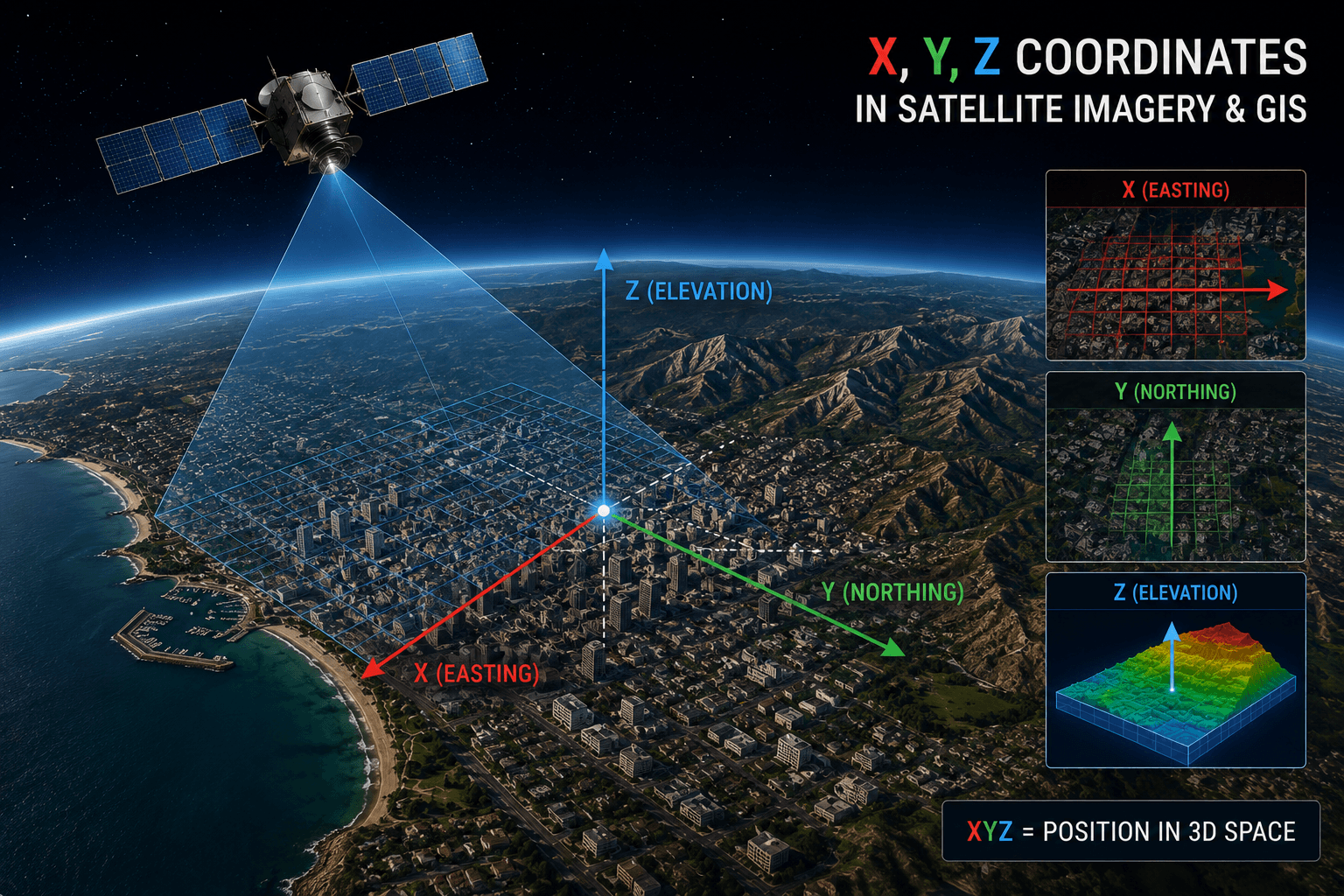
XRTech Group's free GIS tools let you open KML, KMZ, GeoJSON and shapefiles, convert coordinates, measure land area on satellite maps and calculate satellite orbits, straight in your browser. Every tool is free to use, with no sign-up and no software to install.
Free GIS File Viewers and Editors
Open, inspect, create and edit GIS files online, without installing QGIS or Google Earth.
Coordinate Converters and Location Tools
Convert between coordinate formats and find the latitude and longitude of any place.
Area, Measurement and Planning Tools
Measure land, convert area units and choose the right imagery before you survey a site or place an order.
Satellite Orbit Calculators
Work out how fast a satellite moves and how long one orbit takes.
Plan a Satellite Imagery Order with These Tools
Prepare your area with the free tools, then let XRTech Group supply the imagery.
1. Draw your area
Create your area of interest in the KML creator or open an existing file in the KML viewer.
2. Measure it
Check the size in km² with the satellite area calculator, since satellite imagery is priced per km².
3. Choose the right data
Answer a few questions in the Satellite Imagery Advisor to get the lowest resolution that fits your goal and an indicative estimate.
4. Get a quote
Send us your KML for archive coverage, cloud cover and a price per km², from 30cm to 2m, for any location worldwide.
Need Satellite Imagery of Your Area?
XRTech Group supplies archive and newly tasked satellite imagery from 30cm to 2m, plus stereo, SAR, DEM and analytics, for any location worldwide. Send your KML and get coverage, cloud cover and a price per km².
Free GIS Tools: Frequently Asked Questions
What free GIS tools does XRTech Group offer?
XRTech Group offers free online tools for GIS files (KML / KMZ viewer, KML creator, GeoJSON viewer and editor, shapefile viewer), coordinates (lat long converter, satellite coordinate converter, GPS coordinates finder, bearing to azimuth calculator), area (satellite area calculator, property lines map, m² to km² converter), satellite orbits (orbital period, Earth orbit and orbital speed calculators) and the Satellite Imagery Advisor. New tools are added to this page as they launch.
Are these GIS tools really free?
Yes. Every tool on this page is free to use in your browser, with no account and no software to install.
How do I open a KML or KMZ file online?
Open the KML / KMZ File Viewer and upload your file. Its polygons, paths and placemarks are drawn on an interactive map. To draw or edit a KML instead, use the KML / KMZ Creator.
Can I view a shapefile without GIS software?
Yes. Drop the SHP, DBF, PRJ and SHX files, or a ZIP that contains them, into the Shapefile Viewer to see the layer, its attributes and projection, and export it as GeoJSON or CSV.
How do I convert DMS to decimal degrees?
Decimal degrees = degrees + minutes ÷ 60 + seconds ÷ 3600, with a minus sign for south latitudes and west longitudes. The Lat Long Converter does this in both directions and also handles degrees decimal minutes (DMM).
How can I measure land area on a satellite map?
Draw the boundary on the Satellite Area Calculator or the Property Lines Map and the area is calculated as you draw. The area calculator also exports the shape as KML or CSV.
Which GIS file formats can I open with these tools?
KML, KMZ, GeoJSON and Esri shapefiles (SHP with its DBF, PRJ and SHX files, or a ZIP).
How do I order satellite imagery for the area I drew?
Export your area as KML from the KML Creator or the Satellite Area Calculator and send it to XRTech Group through the Get a Quote form. You receive archive coverage, cloud cover and a price per km² for imagery from 30cm to 2m, for any location worldwide.