
Satellite survey and mapping
Land Survey Services from Satellite Data
XRTech Group is a land survey company that uses high-resolution satellite imagery and stereo elevation data to map sites of any size, anywhere. Get topographic maps, DEMs, orthophotos and volumes in GIS and CAD formats, without sending a crew into the field first.
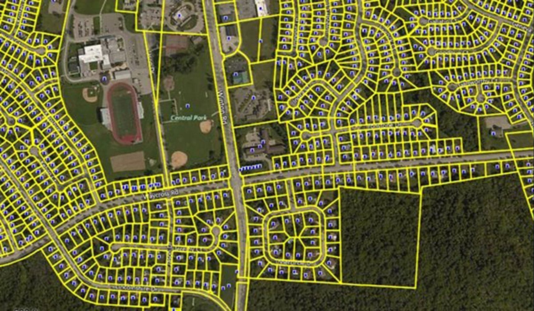
Parcel boundaries mapped over high-resolution satellite imagery
30cm
Optical imagery resolution
2 to 10m
DEM grid spacing
24h
Emergency imagery delivery
GIS + CAD
GeoTIFF, SHP and DWG outputs
Satellite land surveying
Survey Whole Sites from Above
Ground crews measure points with great precision, but covering hundreds of square kilometres, remote terrain or sites you cannot yet access takes months. Satellite land surveying captures the entire area at once, so you have terrain, features and elevation for planning and design from day one.
Our satellite data works alongside licensed ground surveys rather than replacing them. Legal boundary certification and centimetre-level setting out still need a registered surveyor on site, and we can tie our products to their ground control points for higher accuracy.
Orthorectification and Ground Control →
Satellite mapping covers the whole site, while ground teams focus on control points and legal boundaries
Survey services
Land Mapping Services We Deliver
Survey-grade mapping products from satellite imagery, ready for engineering design, permitting and monitoring.
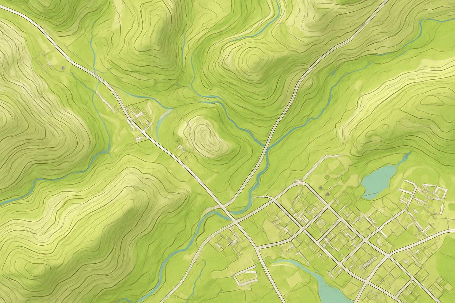
Topographic Survey and Contours
Contour maps, slopes and spot heights over large or remote sites for early design, feasibility studies and earthworks planning.

DEM, DSM and DTM
Digital elevation models of bare earth, surface models with buildings and trees, and terrain models with breaklines.
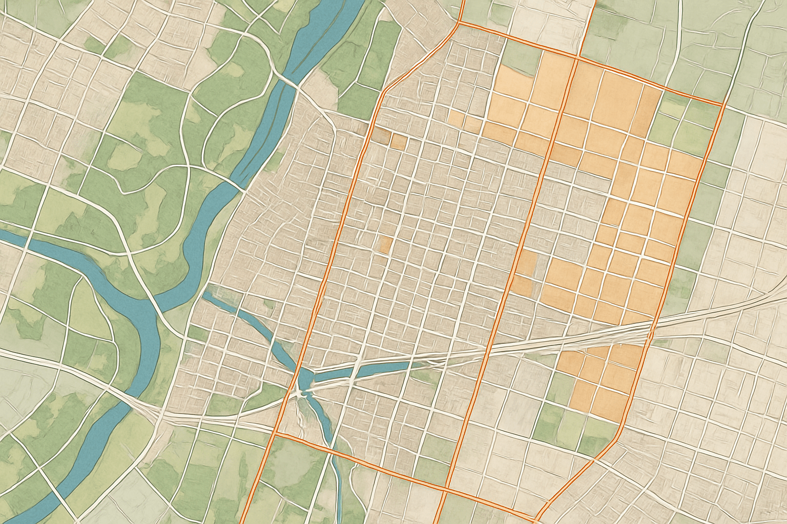
Orthophoto Base Maps
Digital orthophoto maps corrected for terrain and sensor angle, so distances and areas can be measured directly.
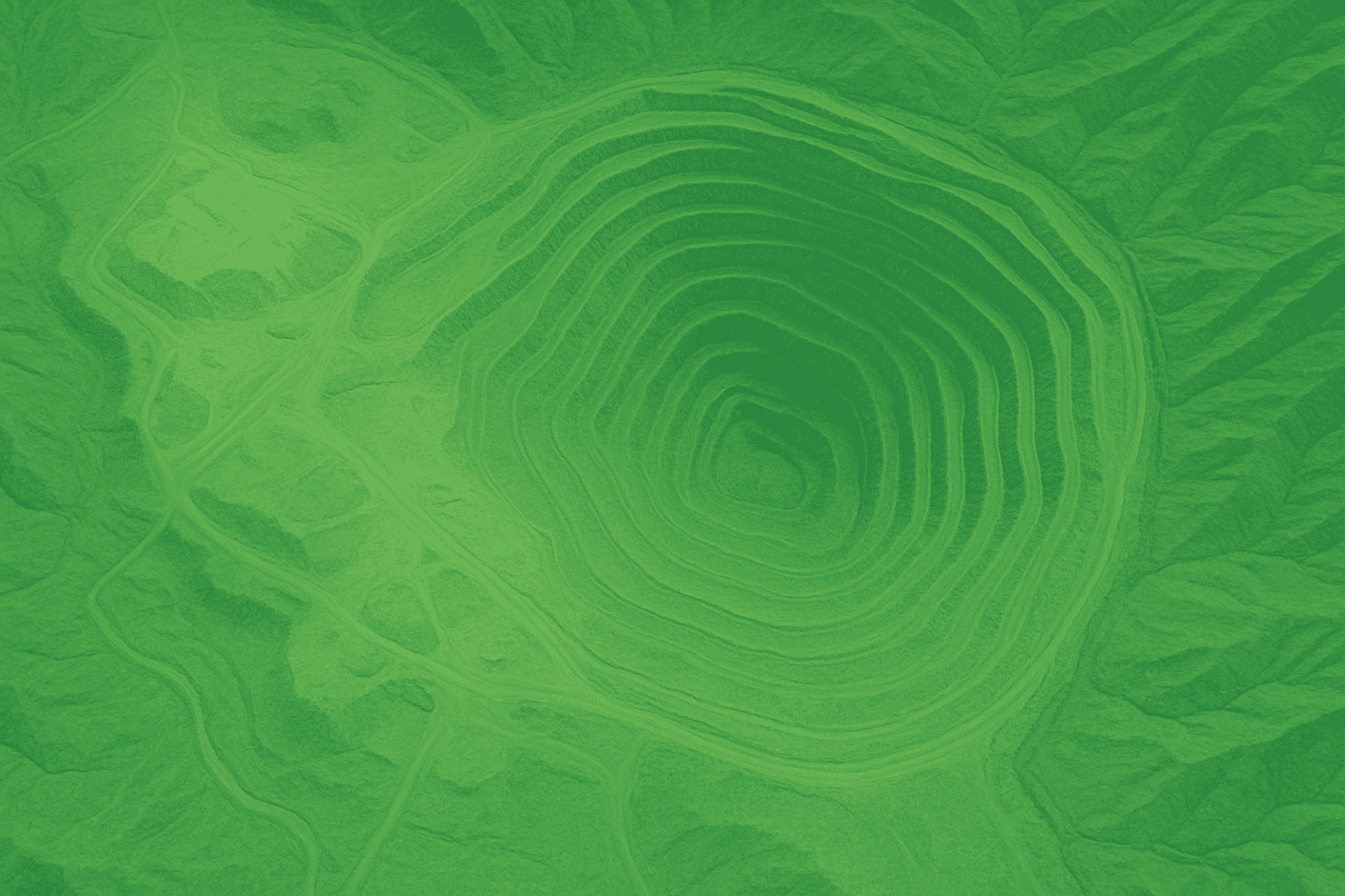
Volumes and Cut-and-Fill
Stockpile volumes, pit and quarry change, and cut-and-fill quantities from repeat elevation surveys of the same site.
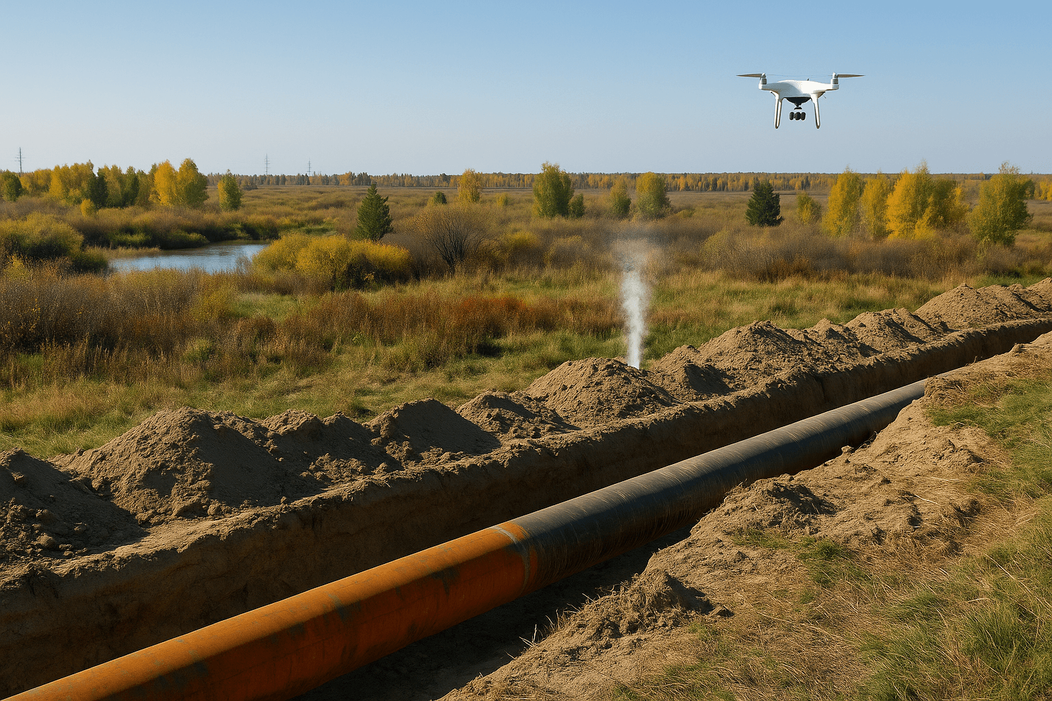
Corridor and Route Surveys
Route options for roads, rail, pipelines and power lines, with terrain, crossings, land use and right-of-way mapped along the whole corridor.
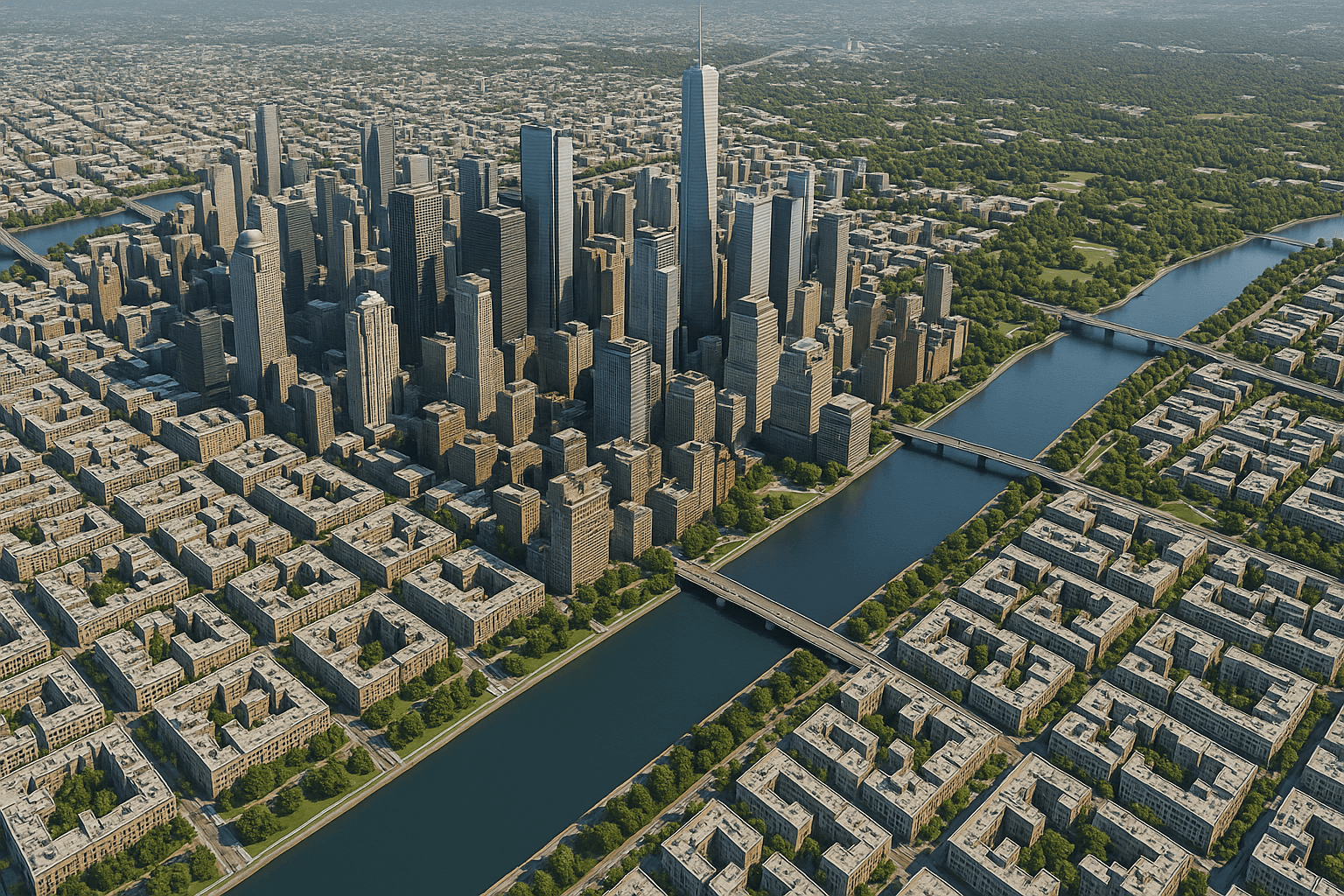
Feature Extraction and 3D Models
Buildings, roads, water and vegetation extracted as vectors, plus 3D city models for urban and infrastructure planning.
How it works
Our Satellite Land Survey Process
A clear five-step workflow takes you from an area of interest to survey-ready data in your own GIS or CAD software.
01
Scope the Project
We agree the area, the outputs you need, the accuracy target and the coordinate system, then pick the right satellites.
02
Source the Imagery
Recent archive scenes are pulled where they meet the brief, or new optical and stereo acquisitions are tasked over your site.
03
Process and Correct
Imagery is orthorectified, tied to ground control points where supplied, mosaicked and used to generate elevation models.
04
Extract and Analyse
Contours, features, volumes and change are extracted with AI-assisted tools and checked by remote sensing specialists.
05
Check and Deliver
Accuracy is checked against control data, then outputs are delivered in GeoTIFF, SHP, DWG or your preferred format and projection.
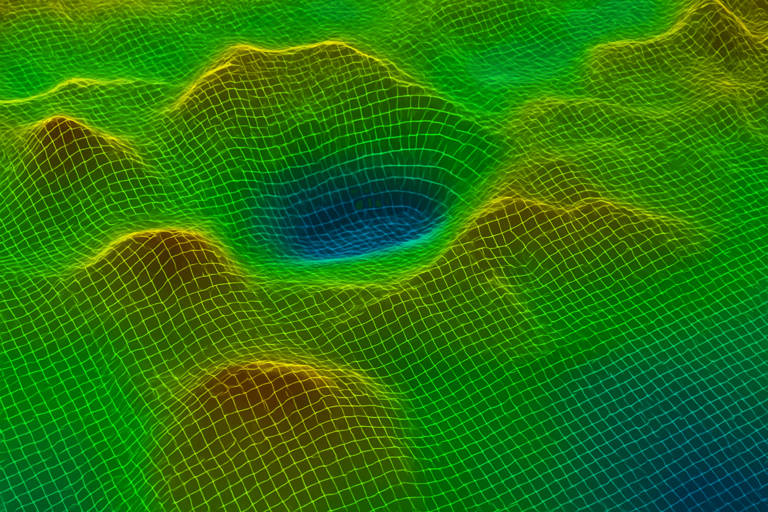
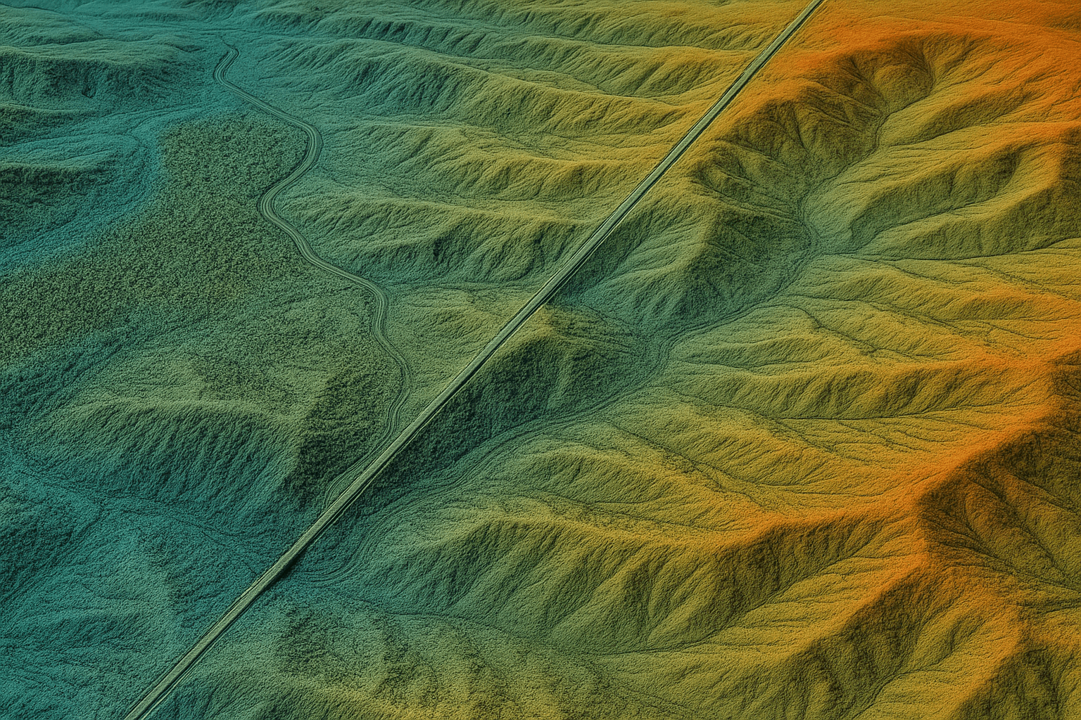
Terrain model generated from stereo satellite imagery, coloured by elevation
Satellite vs ground survey
When to Use Satellite Surveying and When to Go on Site
The best land survey solutions combine both. Satellite data covers the big picture quickly; ground surveys provide certified precision where it is legally required.
Satellite Land Surveying
Best for large, remote or early-stage projects.
Covers hundreds or thousands of square kilometres in one acquisition
Reaches remote, hazardous or restricted areas without field teams
Archive imagery shows past conditions for change and baseline studies
Repeat captures for progress, volumes and deformation monitoring
Metre-level elevation accuracy, improved further with ground control
Traditional Ground Surveying
Best for certified, point-precise work.
Legal boundary and cadastral certification by a licensed surveyor
Centimetre-level setting out for construction and utilities
Ground control points that anchor and verify satellite products
Detail under tree cover, inside structures and below ground
Slower and costlier per square kilometre over large areas
Who we work with
Land Survey Solutions by Industry
Our land survey company supports teams that need reliable terrain and site data across large or hard-to-reach areas.
01
Engineering and Construction
Site suitability, earthworks planning and construction progress monitoring for contractors and design consultants.
02
Roads, Rail and Pipelines
Corridor studies, route comparison, right-of-way mapping and cut-and-fill estimates along linear infrastructure.
03
Mining and Quarrying
Pit and stockpile volumes, tailings dam monitoring and exploration mapping over whole concessions.
04
Government and Land Departments
National base maps, land use and parcel mapping, and urban planning for municipalities and ministries.
05
Real Estate Development
Land acquisition screening, master planning and property monitoring for developers and investors.
06
Energy and Utilities
Solar and wind site selection, transmission routing, substation planning and asset surveys for utilities and oil and gas operators.
Data and delivery
Satellites, Accuracy and Turnaround
We match the sensor to the survey, then deliver data your GIS and CAD teams can use straight away.
01
Optical Imagery
SuperView Neo-1 at 0.3m, SuperView-2 at 0.4m, GF-7 at 0.65m and GF-2 at 0.8m for base maps and feature extraction.
02
Stereo for Elevation
Stereo and tri-stereo imagery from GF-7 and ZY-3 for DEMs at 2 to 10m spacing, with vertical accuracy of about 3m RMSE, better with ground control.
03
Radar and InSAR
SAR imagery from GF-3 and LT-1 maps through cloud, and InSAR measures millimetre-scale ground movement and subsidence.
04
Formats and Turnaround
GeoTIFF, SHP, DWG and UTM or local projections. Imagery in about 7 days, custom DEMs in about 21 days, emergency imagery in 24 hours.
Pricing
Satellite Imagery Pricing for Survey Projects
Transparent per-square-kilometre pricing for the imagery behind your survey. DEMs, volumes and other survey products are quoted per project.
High Resolution
51 to 80cm resolution, up to 4 bands
Archive image (older than 90 days)
USD 5 /km², minimum 25 km²
New tasking image (freshly captured)
USD 8 /km², minimum 100 km²
Very High Resolution
31 to 50cm resolution, up to 4 or 8 bands*
Archive image (older than 90 days)
USD 13 /km², minimum 25 km²
New tasking image (freshly captured)
USD 20 /km², minimum 100 km²
Super High Resolution
30cm resolution, up to 4 bands
Archive image (older than 90 days)
USD 20 /km², minimum 25 km²
New tasking image (freshly captured)
USD 30 /km², minimum 100 km²
*Band availability varies by satellite source. Stereo imagery is priced at 2x and tri-stereo at 3x the single-image rate. See full high-resolution satellite imagery pricing.
Satellite imagery portal
Search, View and Order Satellite Imagery
Check archive coverage over your survey area in the satellite imagery portal, define your Area of Interest and order archive scenes or new tasking.
1
Search Your Area
Find available imagery over your site, corridor or concession.
2
Draw or Upload KML
Define the Area of Interest by drawing it on the map or uploading a KML file.
3
Order Imagery
Choose available archive imagery or request new tasking, then complete the order in the portal.
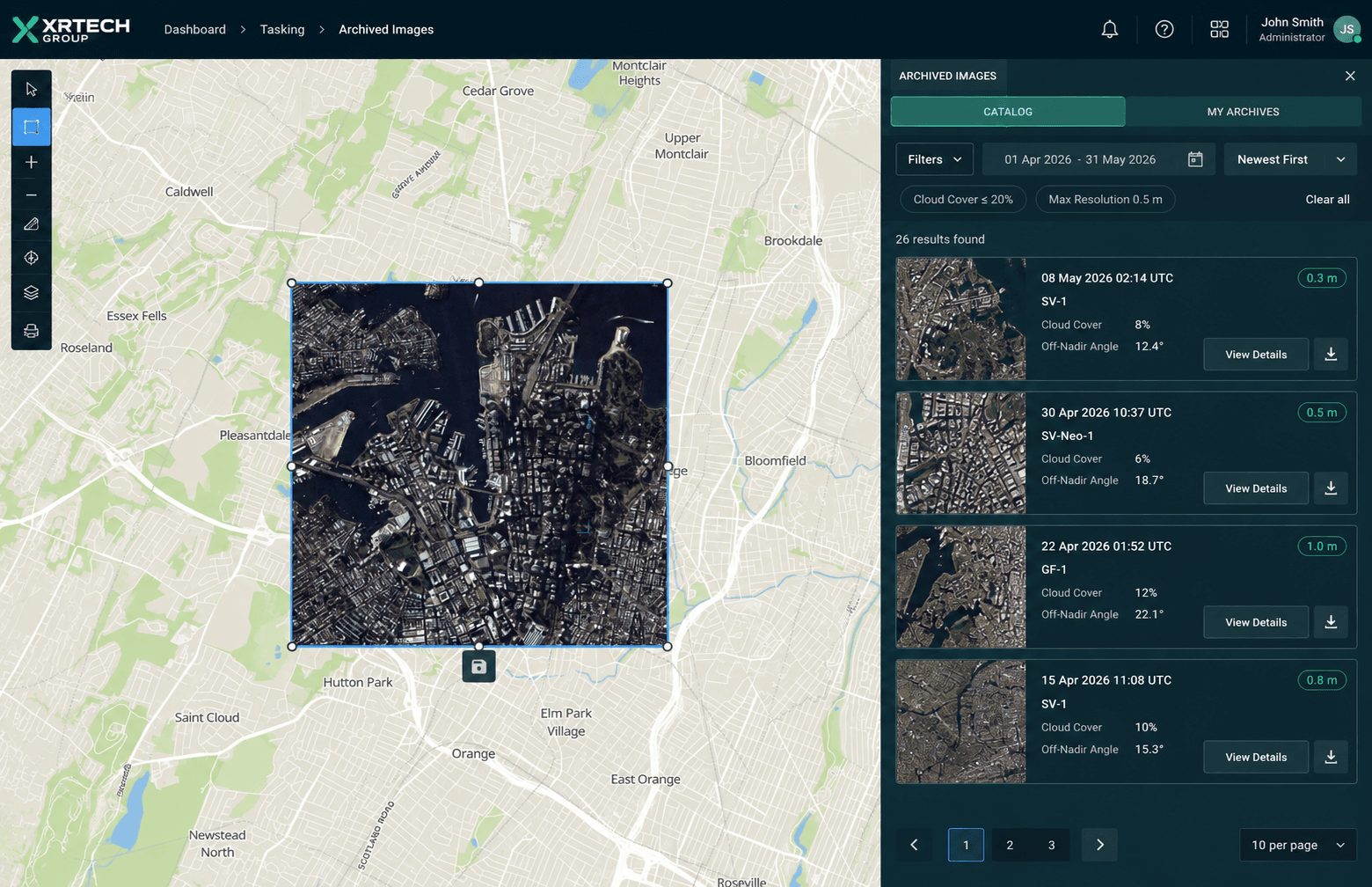
Archive search view in the XRTech satellite imagery portal
FAQ
Land Survey Services Questions Answered
Common questions about satellite land surveying, accuracy and deliverables. Need something specific? Our team replies within 24 hours.
Ask Our Experts →
What is a satellite land survey?
A satellite land survey uses high-resolution and stereo satellite imagery to map terrain, features and elevation over a site. It produces topographic maps, DEMs, orthophotos and vector data without sending survey crews across the whole area.
How accurate are satellite land survey services?
Optical imagery resolves ground detail down to 0.3m, and DEMs from stereo imagery typically reach around 3m vertical RMSE. Accuracy improves when products are tied to ground control points measured on site.
Can satellite surveying replace a licensed land surveyor?
No. Legal boundary certification and centimetre-level setting out still need a licensed surveyor. Satellite surveying is ideal for large-area mapping, feasibility, volumes and monitoring, and works best alongside ground surveys.
What is the difference between DEM, DSM and DTM?
A DSM shows the top surface including buildings and trees. A DEM shows the bare earth with those features removed. A DTM is a bare-earth model enhanced with breaklines and terrain features for engineering design.
How long does a satellite land survey take?
Archive imagery is usually delivered in about 7 days and custom DEMs in about 21 days, depending on area and weather for new tasking. Emergency imagery can be delivered within 24 hours.
What file formats do you deliver?
We deliver GeoTIFF rasters, SHP vectors and DWG drawings in UTM or your local projection, ready for ArcGIS, QGIS, AutoCAD and Civil 3D.
Can you survey areas with cloud cover?
Optical imagery needs clear skies, but we can use radar (SAR) satellites that see through cloud, fog and darkness, and search the archive for the clearest past scenes over your site.
Which areas can your land survey company cover?
Our satellite constellation covers the whole world, including remote and hard-to-reach terrain, subject to local data and licensing rules. We regularly support projects across the Middle East, Africa and Asia.
Get started
Start Your Project with Satellite Land Survey Services
Send us your site boundary and the outputs you need. We respond in under 24 hours with a recommended approach and quote, and free satellite imagery samples can be included.