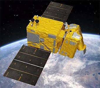
GF-7 Satellite Imagery
Launched on November 3, 2019, the GF-7 satellite is a landmark achievement as China's first sub-meter, high-resolution stereo mapping satellite. Equipped with a dual-linear CCD camera and a precision laser altimeter, it is a primary source for 1:10,000 scale stereo mapping, delivering exceptionally accurate 3D data for the most demanding geospatial projects.
Resolution
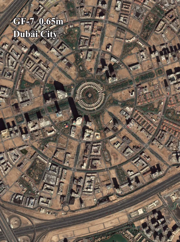
≤0.65m Pan
Revisits
5 Days
Swath Width
≥20 km
Laser Accuracy
≤0.5m RMS
Bands
5
Stereo
Yes
Technical Specifications
| Launch Date | November 3, 2019 |
| Panchromatic Resolution | ≤0.65m |
| Multispectral Resolution | ≤2.6m |
| Swath Width | ≥20 km |
| Camera Inclinations | Forward: +26°, Backward: -5° |
| Laser Altimeter Accuracy | ≤0.5m (Plain), ≤1m (Rough) |
| Altitude | 506 km |
| Revisit Capacity | 5 days |
| Spectral Bands | Pan: 0.45-0.90μm Blue (B1): 0.45-0.52μm Green (B2): 0.52-0.59μm Red (B3): 0.63-0.69μm NIR (B4): 0.77-0.89μm |
Features and Benefits
- Advanced Stereo Mapping: As China's first satellite for sub-meter stereo mapping, GF-7's data is crucial for creating precise 3D terrain models and base maps.
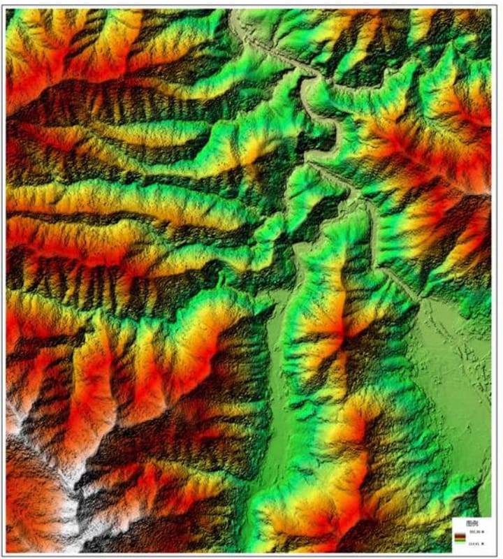
- Enhanced Elevation Data: The integrated laser altimeter provides highly accurate elevation information, significantly improving accuracy in complex and rough terrains.
- Detailed Imagery: Its sub-meter panchromatic resolution ensures clear and detailed images for in-depth analysis of ground features and object identification.
- Fast & Reliable Access: Through XRTech Group, data is delivered with fast turnaround times and provided in industry-standard formats for seamless integration into your GIS workflow.
Applications
Why Choose XRTech Group for GF-7 Imagery?
We provide more than just satellite data; we deliver comprehensive solutions tailored to your project's specific needs, ensuring you get actionable insights quickly and efficiently.
Expert Consultation
Our geospatial experts provide a free consultation to understand your needs and recommend the best acquisition parameters to ensure optimal results for your project.
Rapid Delivery
Leveraging our direct partnership and access to a vast 130+ satellite constellation, we offer fast turnaround times, delivering imagery in days, not weeks.
Seamless Integration
We deliver data in industry-standard formats (like GeoTIFF) compatible with your GIS, CAD, or modeling software, with a team ready to support your workflow.
GF-7 Sample Imagery