ZY-1 02C Satellite Imagery
The ZY-1 02C satellite is a versatile Earth observation platform equipped with high-resolution panchromatic and multispectral cameras. It provides detailed imagery suitable for a wide range of geospatial applications, including land management, urban planning, and environmental monitoring, offering a strong balance of detail and coverage.

Max Resolution
2.36m Pan
MS Resolution
10m
Max Swath
60 km
Sensor
Optical
Bands
Pan + 3 MS
Technical Specifications
| Attribute | High-Resolution Camera | 5mPAN/10mMS Camera |
|---|---|---|
| Resolution | 2.36m (Pan) | 5m (Pan), 10m (MS) |
| Swath Width | 27 km (1 camera) / 54 km (2 cameras) | 60 km |
| Spectral Bands | Pan: 0.50-0.80μm |
Pan: 0.51-0.85μm Green: 0.52-0.59μm Red: 0.63-0.69μm NIR: 0.77-0.89μm |
| Max Off-Nadir Angle | ±25° | N/A |
Features and Benefits
- High-Resolution Detail: The 2.36m panchromatic camera provides sharp, detailed imagery ideal for precise feature identification and base mapping.
- Flexible Resolution Options: With resolutions from 2.36m to 10m, ZY-1 02C offers flexibility for different levels of detail, from intricate mapping to broader area analysis.
- Valuable Multispectral Data: The inclusion of Green, Red, and Near-Infrared bands is crucial for vegetation health analysis (NDVI), land classification, and environmental studies.
- Balanced Coverage: Swath widths of up to 60 km provide a good balance between the level of detail captured and the area covered in a single pass.
Applications
Why Choose XRTech Group for ZY-1 02C Imagery?
We provide more than just satellite data; we deliver comprehensive solutions tailored to your project's specific needs, ensuring you get actionable insights quickly and efficiently.
Expert Consultation
Our geospatial experts provide a free consultation to understand your needs and recommend the best acquisition parameters to ensure optimal results for your project.
Rapid Delivery
Leveraging our direct partnership and access to a vast 130+ satellite constellation, we offer fast turnaround times, delivering imagery in days, not weeks.
Seamless Integration
We deliver data in industry-standard formats (like GeoTIFF) compatible with your GIS, CAD, or modeling software, with a team ready to support your workflow.
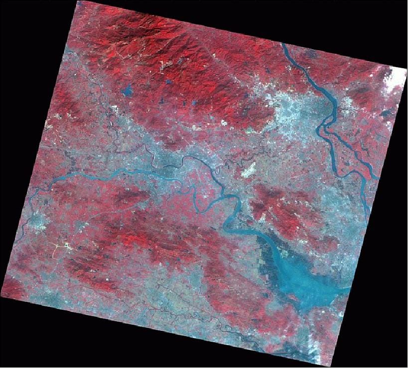
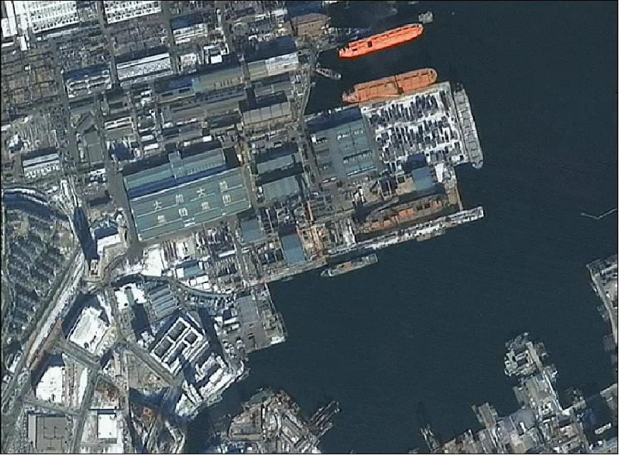
ZY-1 02C Sample Imagery