
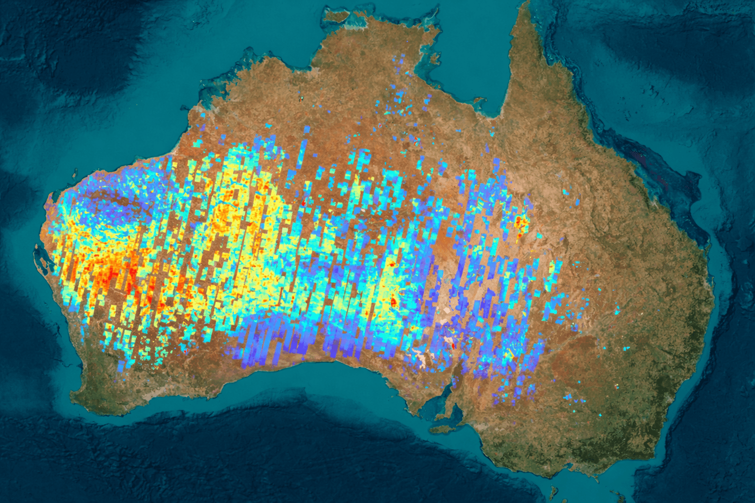
Khaza'in: Hyperspectral Intelligence for Earth's Hidden Wealth
AI-powered satellite analysis revolutionizing mineral discovery. From identifying gold in Africa to mapping complex alteration anomalies in South America's crust.
KHAZA'IN empowers landowners and exploration partners to unlock subsurface potential with validated, rapid geospatial intelligence.
XRTech Group Mining Module
400 to 2500 nm
Hyperspectral spectral range
130+
Satellites for global coverage
2 to 3 days
Turnaround for areas under 100 km²
From $12/km²
Transparent, scalable pricing
Revolutionize Early-Stage Mineral Targeting
Traditional mineral exploration is costly, slow, and resource-intensive. KHAZA'IN delivers a scientifically rigorous, modern methodology to dramatically streamline this process.
Learn About Our Mining SolutionsSlash Exploration Time
Reduce exploration time from years to days with AI-powered analysis.
Replace Costly Surveys
Eliminate expensive field surveys with validated AI insights and satellite data.
Competitive Edge
Give landowners and explorers a decisive advantage in mineral discovery negotiations.
Maximize Efficiency
Improve exploration efficiency and reduce unnecessary costs by focusing on validated targets.
Technical Deep Dive: The Hyperspectral Advantage
KHAZA'IN's world-class capability is built on Hyperspectral Imagery, a core technology provided by XRTech Group.
Beyond Standard Sensors
Unlike standard multispectral sensors (which see 4 to 8 color bands), hyperspectral imaging analyzes hundreds of narrow light bands to detect the physical and chemical composition of materials on the Earth's surface.
400 to 2500 nanometer spectral range
VNIR ≤5nm, SWIR ≤10nm spectral resolution
Detection of subtle chemical shifts
Advanced Spectral Detection
The ability to analyze hundreds of narrow spectral bands allows KHAZA'IN to detect subtle shifts in surface chemistry associated with mineral deposits, including:
Hydroxyl-bearing clays
Sericite
Kaolinite
Illite
Iron oxides
Hematite
Goethite
Jarosite
Key Hyperspectral Satellites, Sensors, and Specs
XRTech Group leverages its vast constellation of over 130+ satellites to provide global coverage, ensuring access to cutting-edge hyperspectral and high-resolution optical data.
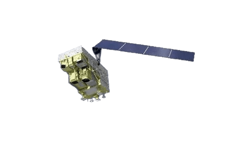
GF-5B
Instrument/Sensor
Advanced Hyperspectral Imager (AHSI) & VIMS
Resolution (GSD)
30m/px
Spectral Bands & Range
400 to 2500 nanometers. VNIR ≤5nm, SWIR ≤10nm spectral resolution
Revisit Capability
12 days
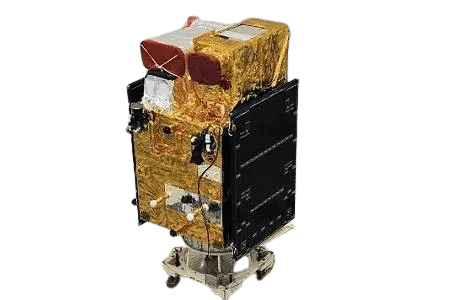
ZY-1 02D / 02E
Instrument/Sensor
Hyperspectral Camera (HRC)
Resolution (GSD)
30m/px
Spectral Bands & Range
0.4 to 2.5 nm band range. 76 VNIR channels and 90 SWIR channels
Revisit Capability
3 days (WPM) / 26 days (MUX)
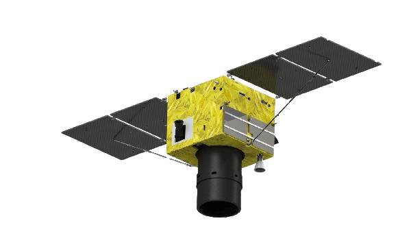
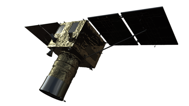
Superview Neo-1
Instrument/Sensor
VHR Optical
Resolution (GSD)
0.3m/px
Spectral Bands & Range
Panchromatic, Red, Green, Blue, NIR
Revisit Capability
Daily for middle/high latitudes
Superview-2
Instrument/Sensor
VHR Optical (GFDM)
Resolution (GSD)
0.4m/px
Spectral Bands & Range
Panchromatic, Purple, Yellow, Red Edge, Red, Green, Blue, NIR1, NIR2
Revisit Capability
3 Days
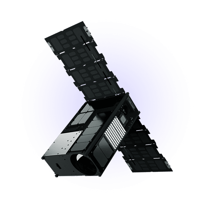
Wyvern Dragonette
Canadian commercial hyperspectral constellation
Instrument/Sensor
Hyperspectral pushbroom imager (VNIR) with a continuously variable optical filter
Resolution (GSD)
5.3m/px, 20 km fixed swath
Spectral Bands & Range
Dragonette-1: 23 bands, 503 to 799 nm. Dragonette-2/3/4/5: 31 bands, 445 to 870 nm
Revisit Capability
Five-satellite constellation at ~530 km: 1.6 days at the equator, 1.2 days at 40° and 0.7 days at 60° latitude
Compare XRTech Group vs WyvernStreamlined 5-Step Workflow
KHAZA'IN uses a streamlined, five-step process powered by proprietary AI to transform raw data into actionable intelligence.
1
Define AOI
Specify your Area of Interest
2
Access Data
From archive or new tasking
3
AI Classification
Deep learning algorithms applied
4
Ground Validation
Match with real mineral signatures
5
Deliver Insights
Comprehensive report package
Rapid Delivery Promise
KHAZA'IN guarantees accelerated turnaround times that keep your projects moving forward.
2 to 3 Day Turnaround: For areas <100 km²
Under 7 Days: General Earth Observation imagery
4 Days Possible: Expedited delivery options available
What You Receive
Color-coded mineral maps
GPS Coordinates
Anomaly zones
Downloadable reports
GIS layers (GeoTIFF, SHP, DWG)
Confidence layers
Key Minerals Detected
KHAZA'IN has proven results in identifying key minerals and associated alteration species across global exploration projects.
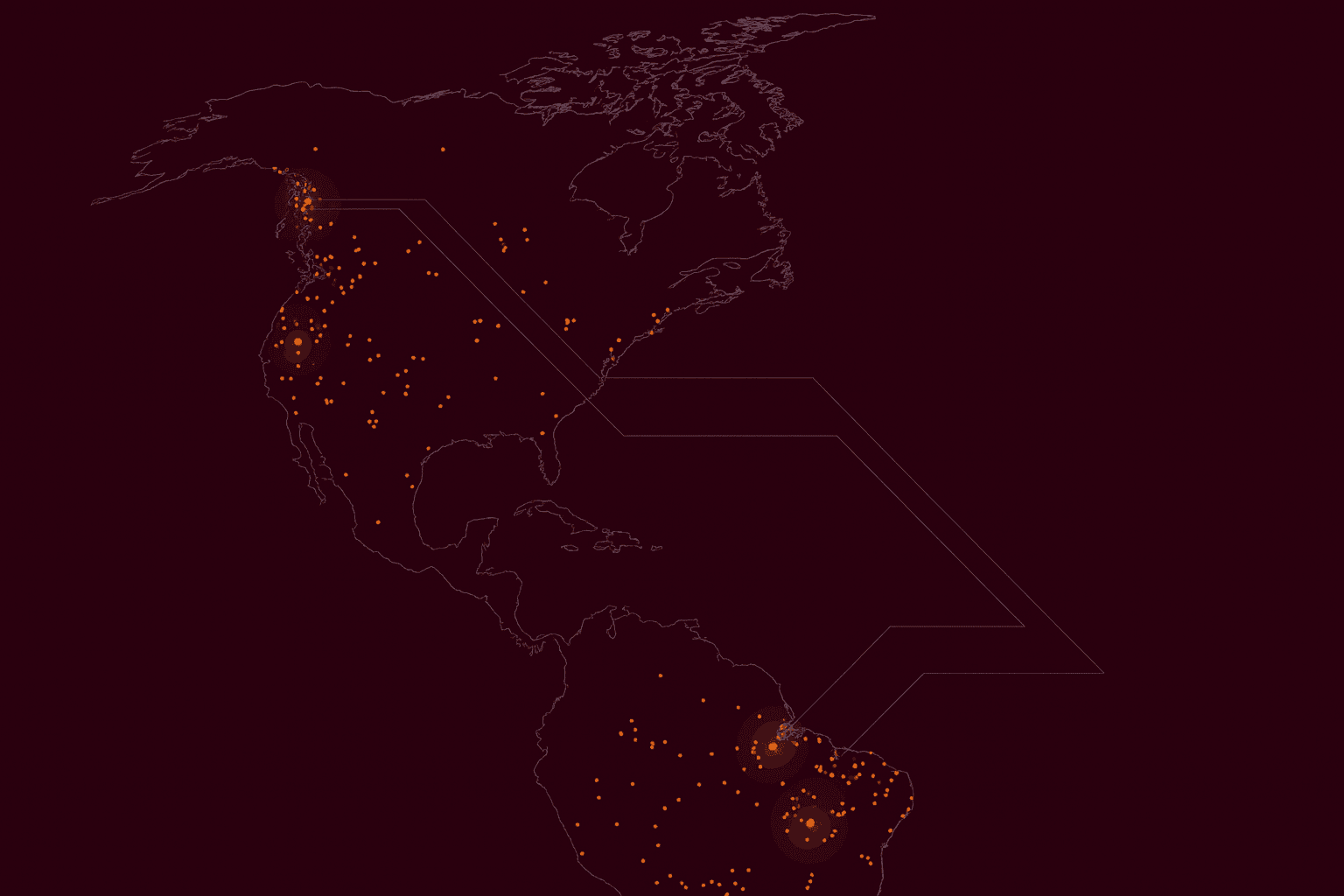
Gold Mineral Signatures
Hyperspectral analysis identifies alteration patterns associated with gold mineralization, including sericite, kaolinite, and iron oxide halos.
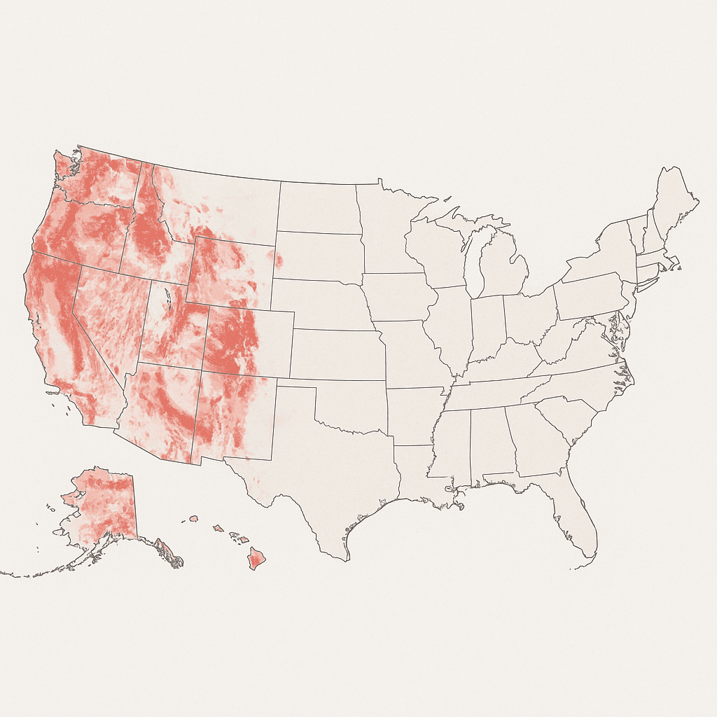
Copper Alteration Zones
Detection of chlorite, epidote, and iron oxide alterations that indicate porphyry copper systems and mineralization pathways.
Precious Metals
Gold, Platinum (implied by proximity to gold belts/alteration)
Base Metals
Copper, Nickel (implied by base-metal systems)
Critical Minerals
Lithium, Fluorite for clean energy transition
Hydrothermal Indicators
Sericite, Kaolinite, Illite, Hematite, Goethite, Jarosite
Global Success Stories
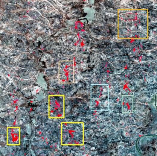
Lake Victoria Gold Belt, Tanzania
Gold Mineralization Identification
Rapid identification of gold mineralization
Verified with mining rights and field alignment
Delivered in <20 days
→ Helped flag viable zones near artisanal workings
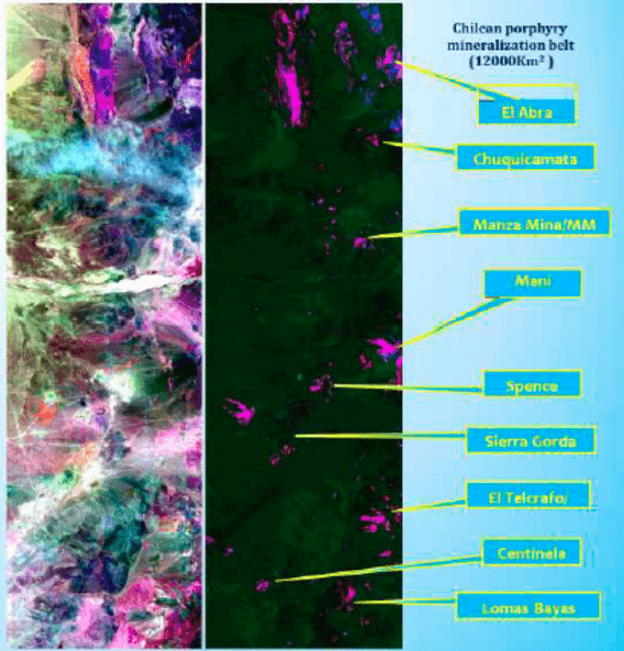
Andean Copper Region, Chile
Copper & Alteration Mapping
Copper + alteration signatures mapped
Layered data showing hydrothermal zones
Enabled reprioritization of 2024 drill schedule
→ Satellite-confirmed anomalies saved months of fieldwork
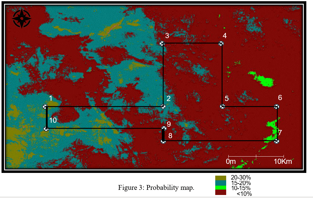
Tasiast Mine Region, Mauritania
Deep Learning Gold Zone Mapping
Deep Learning mapped 10 priority gold zones
Probability up to 21.69%
Located adjacent to Africa's largest mines
→ Powerful edge for landowners negotiating exploration rights
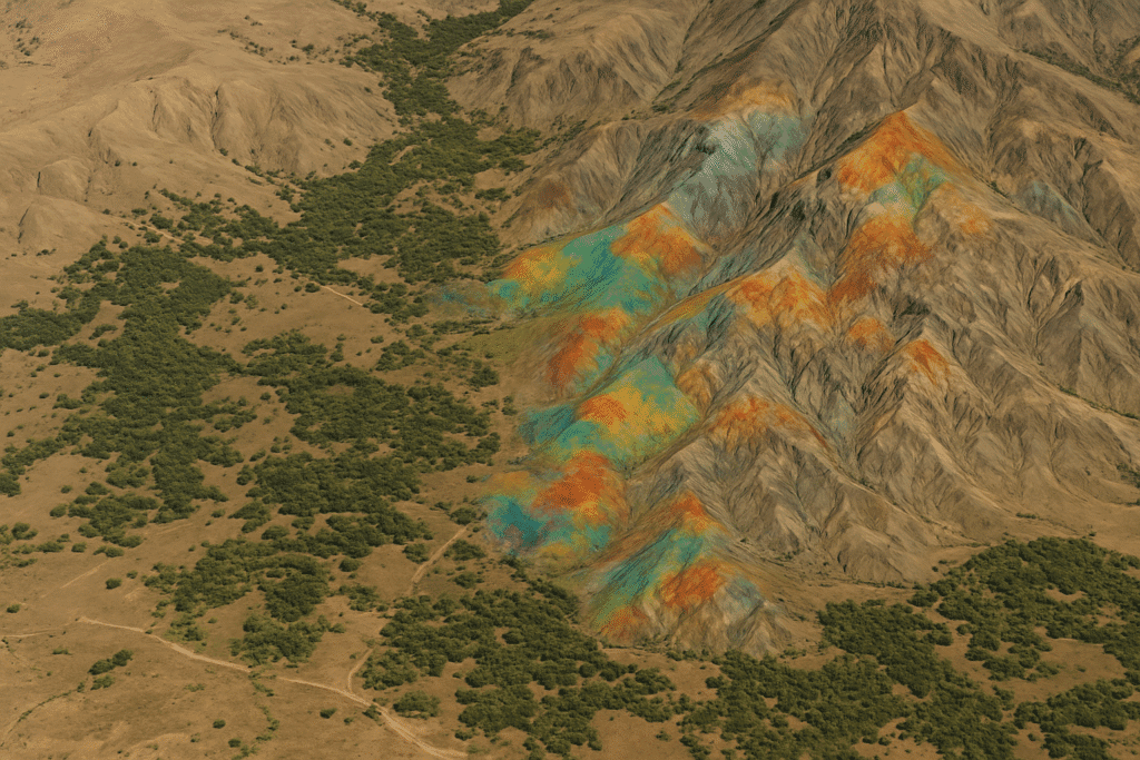
Visualizing Mineral Potential
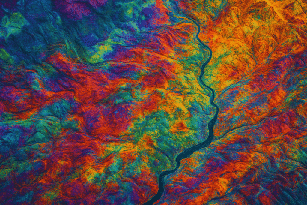
KHAZA'IN transforms complex spectral data into intuitive visual maps that highlight mineral potential and guide exploration decisions.
Color-coded anomaly mapping
Multi-layer geological interpretation
Probability scoring for each target
Regions Most in Need of Hyperspectral Intelligence
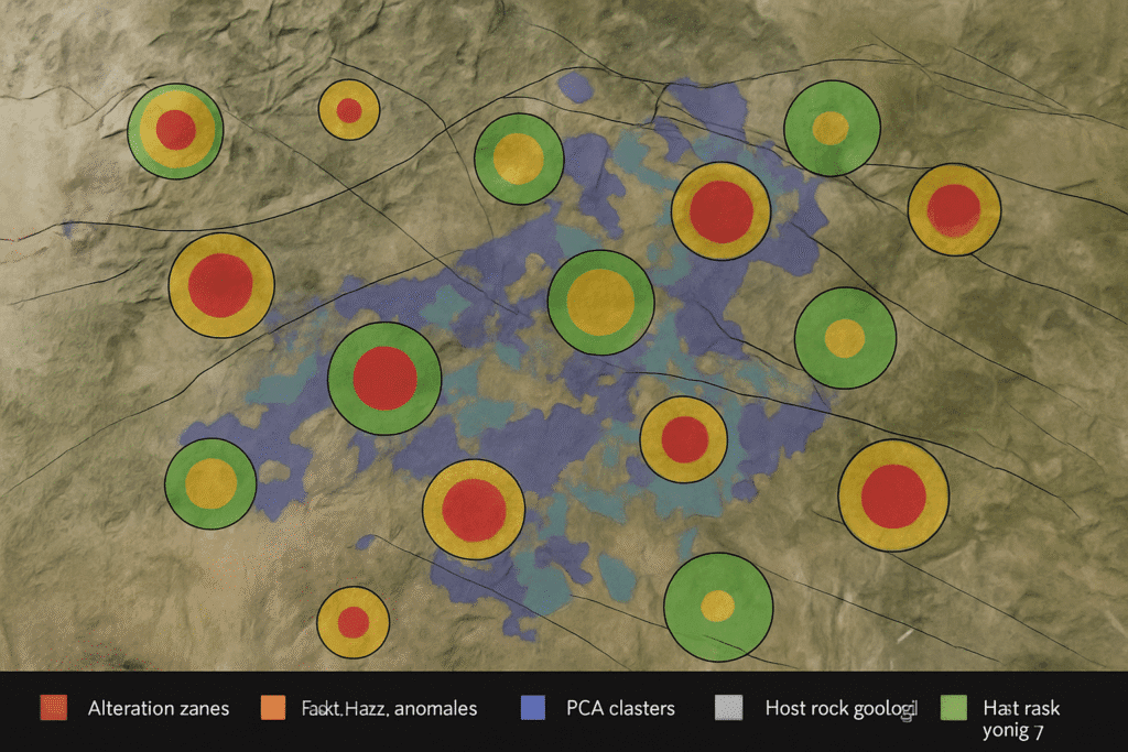
Mineral-Rich Zones
Regions like West Africa and the Andes require scalable, precise exploration to define reserves of gold, copper, and lithium.
West Africa (Ghana, Burkina Faso, Mali, Mauritania)
The Andes (Chile, Peru, Argentina)
Southern Africa mining belts
Cloudy/Tropical Environments
Hyperspectral, when combined with SAR data, ensures continuous monitoring where optical sensors fail.
Southeast Asia tropical regions
Equatorial cloud-affected areas
Amazon rainforest regions
Learn about SAR integration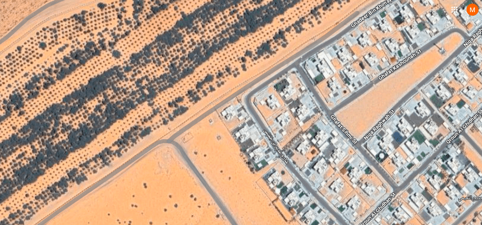
Emerging Economies
These regions require high-accuracy data to enhance resource management and environmental protection.
India's mineral-rich regions
Nigeria and West African nations
Central Asian mineral belts
Transparent, Scalable Pricing
<100 km²
$20/km²
Small exploration areas, initial assessments
100 to 500 km²
$17/km²
Medium projects, concession evaluations
500 to 2000 km²
$15/km²
Large exploration programs
>2000 km²
$12/km²
National-scale assessments, major mining companies
Additional Options
Optional Geo Reports
Detailed geological interpretation by our expert team
Volume Discounts
Custom pricing for multi-project engagements
What Makes KHAZA'IN World-Class
True Validation
Results validated against physical samples, not just data overlays
Expert Team
25+ years in geology + data science expertise
Speed & Accuracy
Fast delivery without compromising on analytical precision
Data Integrity
Clear disclaimer: satellite data does not penetrate the ground
Your Safety, Your Data
Client-First Protection
Client-First Disclosure Policy
NDAs & Data Protections Available
Secure data handling and storage
Clear Disclaimer
Important: XRTech is not liable for operational risks, drilling outcomes, or financial loss. You remain fully in control of how you act on the findings.
Satellite data provides surface intelligence only and does not penetrate the ground. All exploration decisions should be made with appropriate geological consultation.
Let's Explore Together
Join partners from Mauritania to Chile who are redefining mineral exploration with KHAZA'IN hyperspectral intelligence.
Want to know what's under your feet?
Discover the true mineral potential of your land before making critical decisions.
Request Land AssessmentReady to partner or consult?
Connect with our team of geologists and data scientists.
Email Our ExpertsKHAZA'IN Precision. Speed. Clarity.