
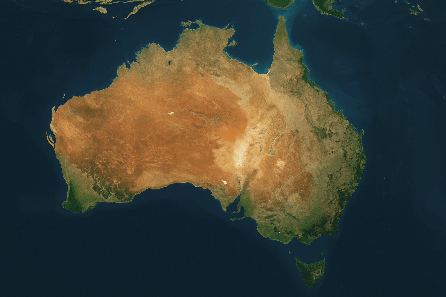
Country-wide Satellite Imagery and Basemaps
XRTech Group delivers country-wide satellite imagery as seamless national basemaps: cloud-free, colour-balanced orthomosaics at 30cm, 50cm, 80cm or 2m, plus nationwide DEMs and GIS layers in your national grid. Archive from $1/km² at 2m, with volume pricing from 250 km².
✓Wall-to-wall coverage of provinces, states and whole countries
✓Cloud-free target, colour-balanced, seamless mosaic
✓Flexible team-wide licensing, no US export licence
For national mapping agencies, ministries, defence, planning authorities, telecoms and large concession holders.
130 km
SuperView Neo-3 swath for fewer, wider passes
30M km²
Daily capacity of the 28-satellite SuperView Neo system
25+ years
Archive depth for historical basemaps and change detection
$1/km²
Country-wide archive at 2m, volume pricing from 250 km²
Country-wide pricing
Country-wide Satellite Imagery Prices per km²
XRTech Group's list prices in US dollars per km², the same for any country. Volume pricing starts at 250 km² and the rate per km² falls as the total area grows. Mosaic production, DEMs and GIS layers are quoted with the imagery.
High Resolution
51cm to 80cm | GF-7, GF-2, TripleSat
Archive image (over 90 days):
USD 5/km² (min. 25 km²)
New tasking image:
USD 8/km² (min. 100 km²)
Stereo at 2× the mono price for elevation models.
Select PackageMost popular
Very High Resolution
31cm to 50cm | SuperView-1, SuperView-2, SuperView Neo-3, Beijing-3A
Archive image (over 90 days):
USD 13/km² (min. 25 km²)
New tasking image:
USD 20/km² (min. 100 km²)
Priority USD 37 · Emergency USD 66 · Stereo USD 40/km²
Select PackageSuper High Resolution
25cm to 30cm | SuperView Neo-1, Beijing-3B
Archive image (over 90 days):
USD 20/km² (min. 25 km²)
New tasking image:
USD 30/km² (min. 100 km²)
Priority USD 45 · Emergency USD 80 · Stereo USD 60/km²
Select PackageStandard Resolution
1m to 2m | GF-1, GF-6, ZY-3
Archive image (over 90 days):
USD 1/km² (min. 25 km²)
New tasking image:
USD 2/km² (min. 100 km²)
Stereo at 2× the mono price. Smallest order USD 25.
Select PackageWhat changes a country-wide price
Total area: volume pricing from 250 km², confirmed per km² in writing
Resolution mix: for example 30cm over cities and 2m for the rest of the country
Archive or tasking: archive is the lowest cost; new tasking covers cloudy or outdated areas
Cloud limit on tasking: 10% or less +$8/km², 5% or less +$15/km²
Products: mosaic, DEM, DSM and land cover layers quoted per project
Refresh: one-off, annual or quarterly updates
Deliverables
National Basemaps, DEMs and GIS Layers You Can Buy
Buy satellite maps as finished products, not loose scenes. Each deliverable covers your full area in one consistent projection, ready to load into GIS.
Sub-metre VHR basemap
30cm to 50cm
High-definition orthomosaic for cadastre, property, urban planning and national security. See digital orthophoto maps.
Archive from $13/km² at 50cm
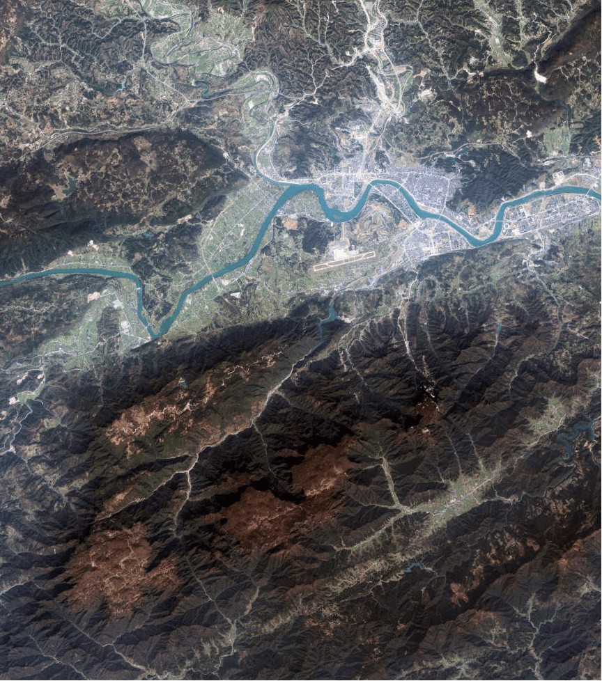
National medium-scale basemap
80cm to 2m
Cost-effective wall-to-wall coverage for regional planning, forestry and agricultural statistics. See 80cm satellite imagery.
Archive from $1/km² at 2m
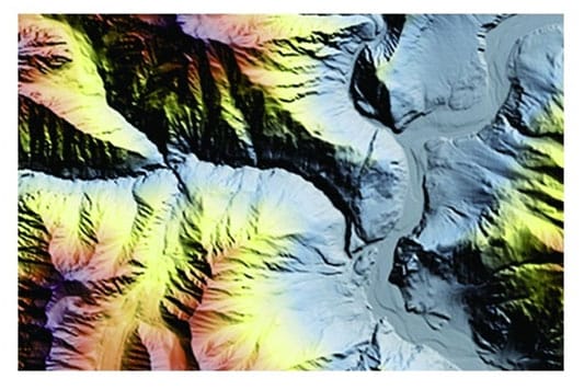
National DEM and DTM
2m to 10m grid
Bare-earth terrain for hydrology, watersheds, flood risk and route corridors, about ±3m vertical RMSE. See DEM services.
Under 21 days
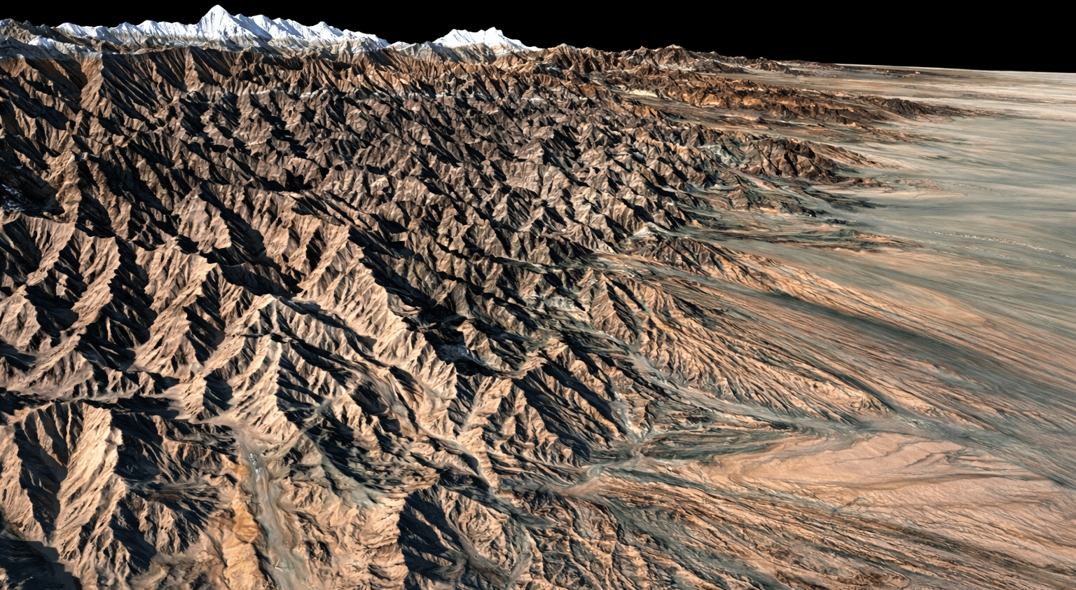
Digital surface model
Canopy and buildings
Surface heights including trees and structures for line-of-sight, telecom RF planning and forestry. See digital surface models.
Built from stereo imagery
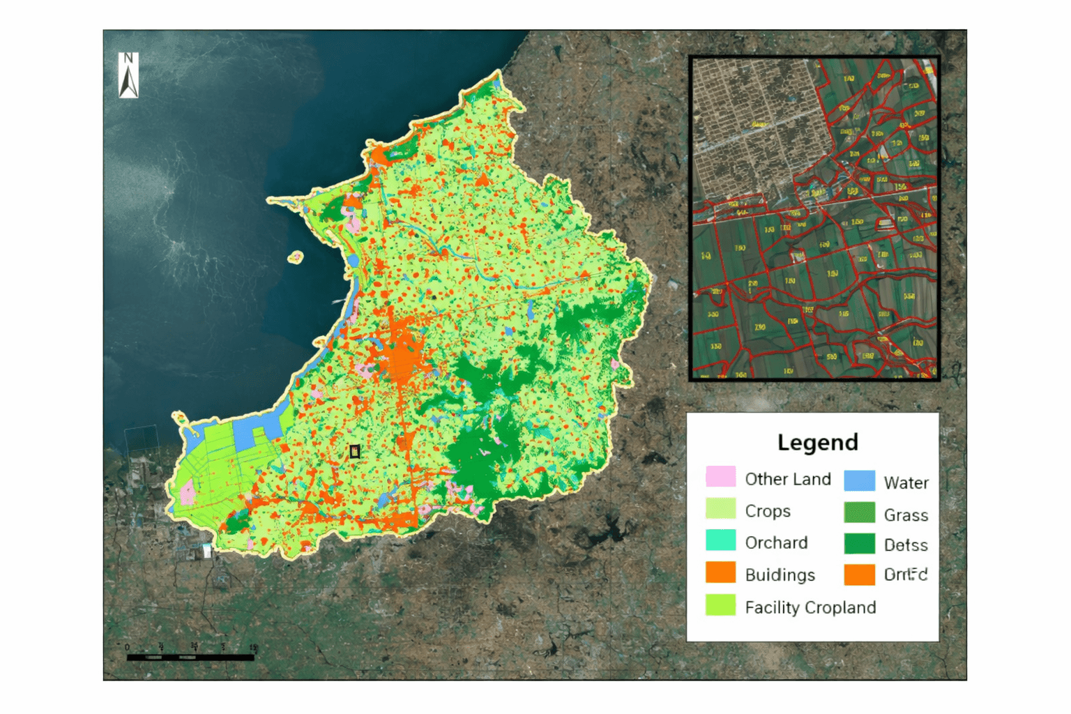
Land use and land cover
AI vectors
Polygons for cropland, water, wetlands, forest and built-up areas, ready for national statistics and planning.
SHP and GIS vector layers
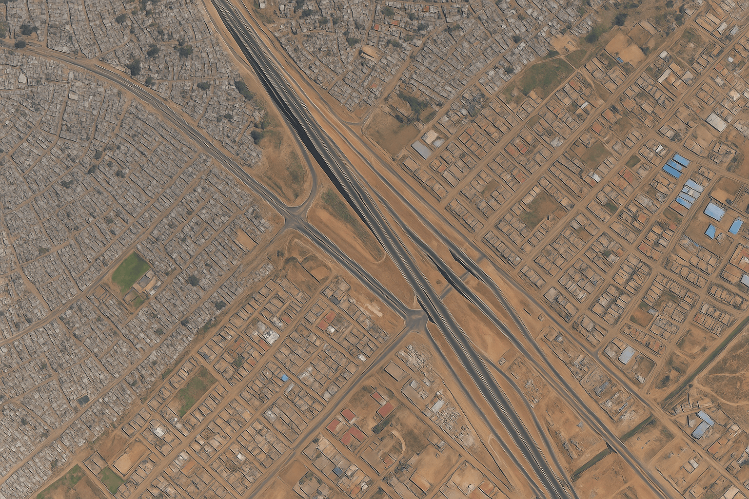
Buildings and roads
AI extraction
Building footprints, 3D white models and road networks for digital twins and municipal records. See digital twins.
SHP, DWG and 3D models
Whole-country coverageOne mosaic, one colour balance, one projection.
Coverage scale
Satellite Imagery Mosaics for Cities, Provinces and Whole Countries
Match the resolution to the size of the area and the decisions it supports. Finer detail costs more per km², so most national programmes mix tiers.
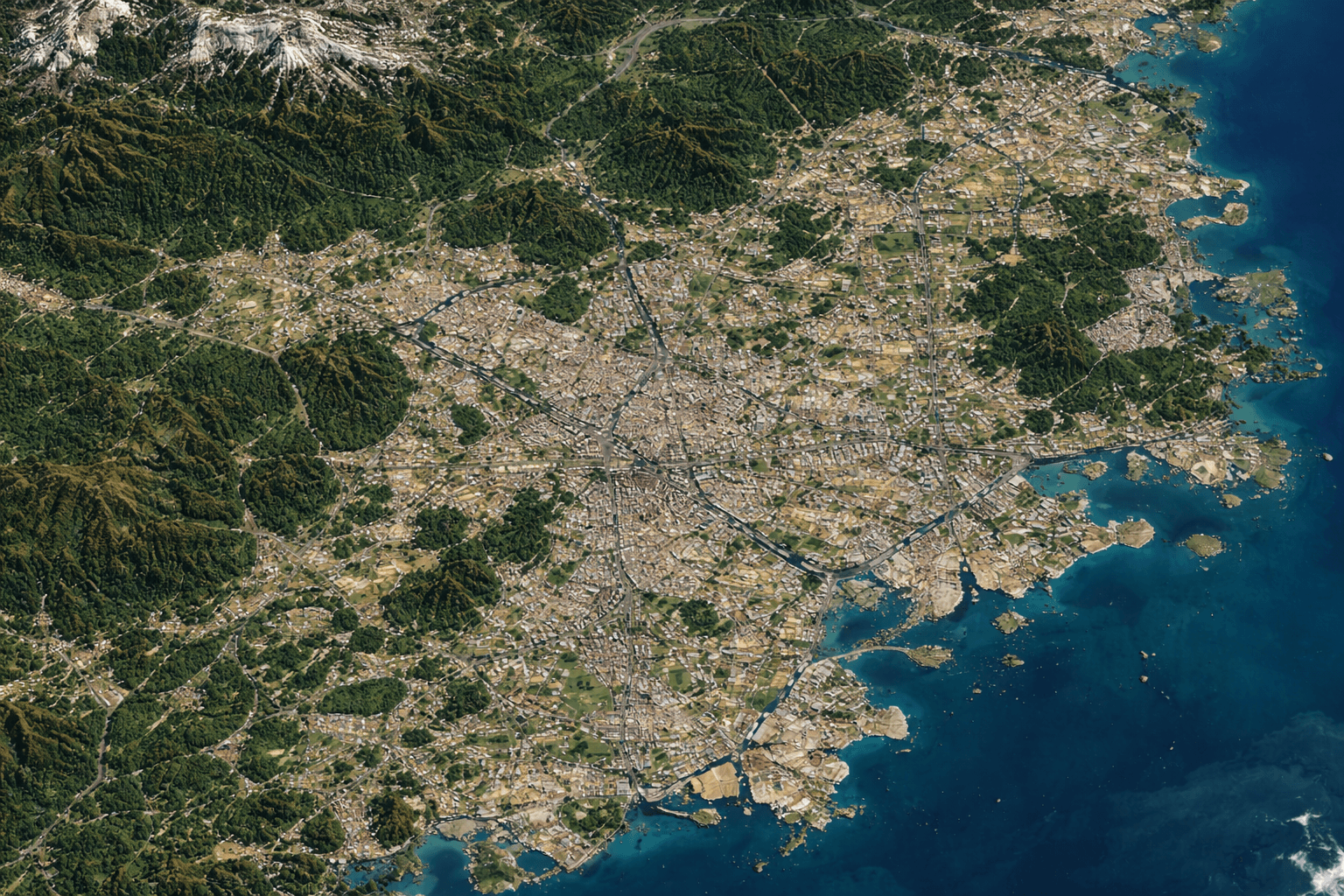
A common plan is 30cm or 50cm over cities, corridors and priority sites, with 80cm or 2m wall-to-wall for the rest of the country, delivered as one seamless basemap.
For cloudy tropical and monsoon countries, optical mosaics are combined with GF-3 and LT-1 SAR imagery to keep border, flood and surface water layers current through the rainy season.
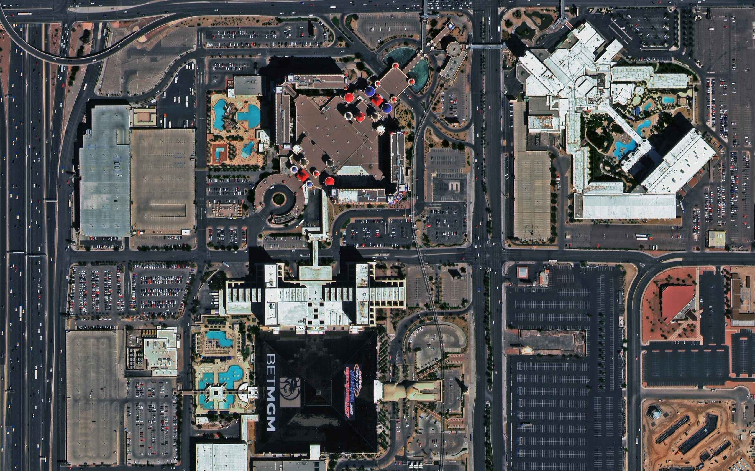
City
30cm to 50cm
Buildings, roads and cadastre detail for metro areas from 100 km² to a few thousand km².
Best value
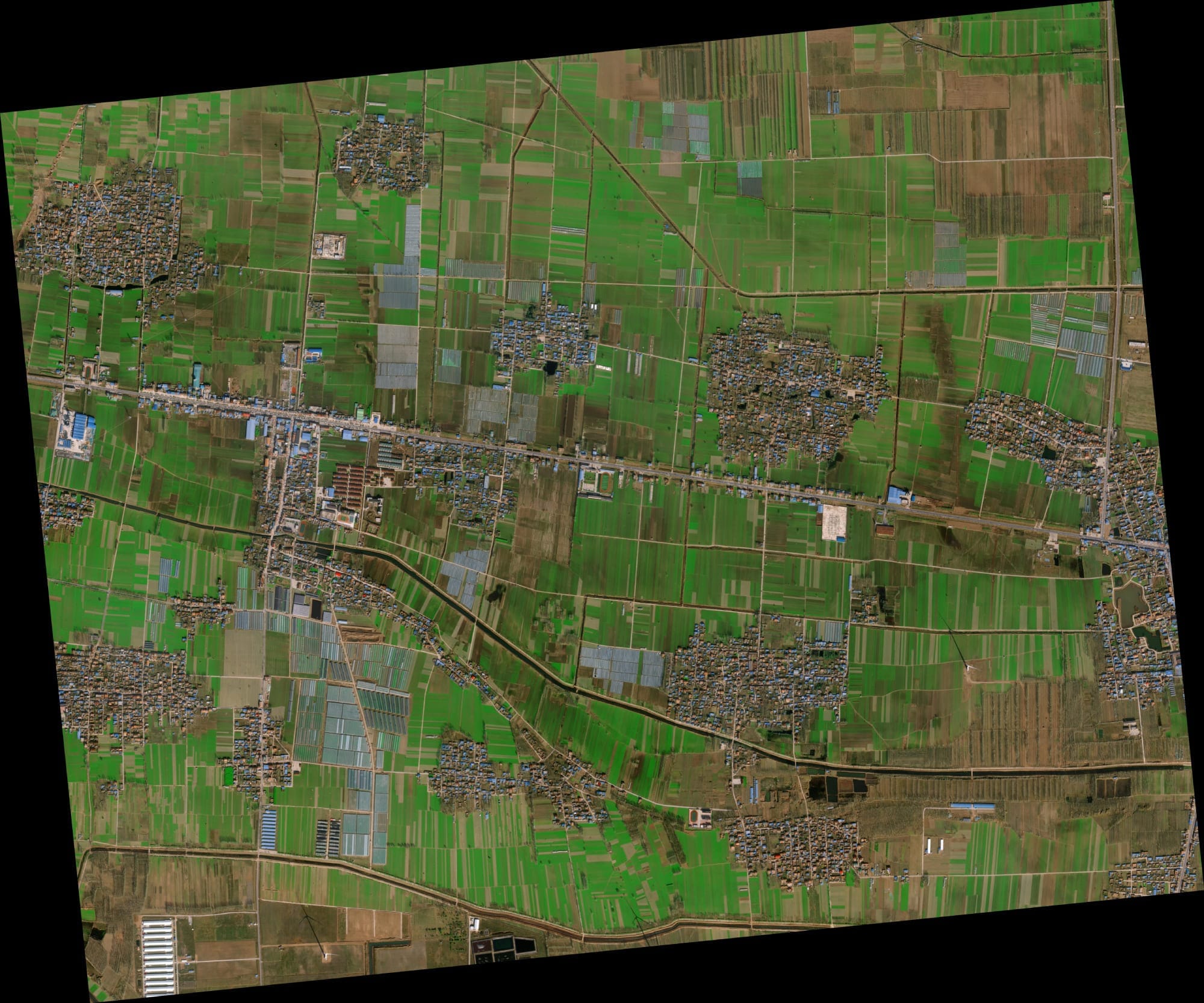
Province
50cm to 80cm
Regional planning, forestry, mining concessions and corridors across 10,000 to 100,000 km².
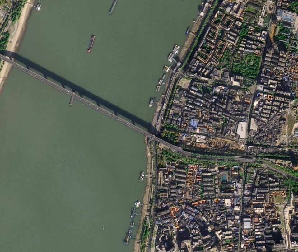
Country
80cm to 2m
Wall-to-wall land cover, agriculture statistics and base mapping, with 30cm over priority cities.
Who it is for
Who Buys National Satellite Basemaps
Country-wide imagery is bought by the public bodies and companies that plan, govern or operate across a whole territory.
National Mapping and Cadastre Agencies
Mapping agencies refresh national base maps, cadastre and topographic layers from one seamless orthomosaic instead of patching scenes of different dates.
• National orthophoto base map at 30cm to 2m
• Cadastre and parcel updates
• Topographic and DEM refresh
Case studies
Country-wide and Basin-Scale Projects Delivered
Large-area projects delivered by XRTech Group.
Africa: multi-country DEMs
Multi-country
Challenge: Highway, railway and energy planners needed consistent elevation data across several African countries, where existing national terrain data differs in quality and datum.
What we delivered: Multi-country digital elevation models to guide major highway, railway and energy infrastructure planning.
DEM · infrastructure planning
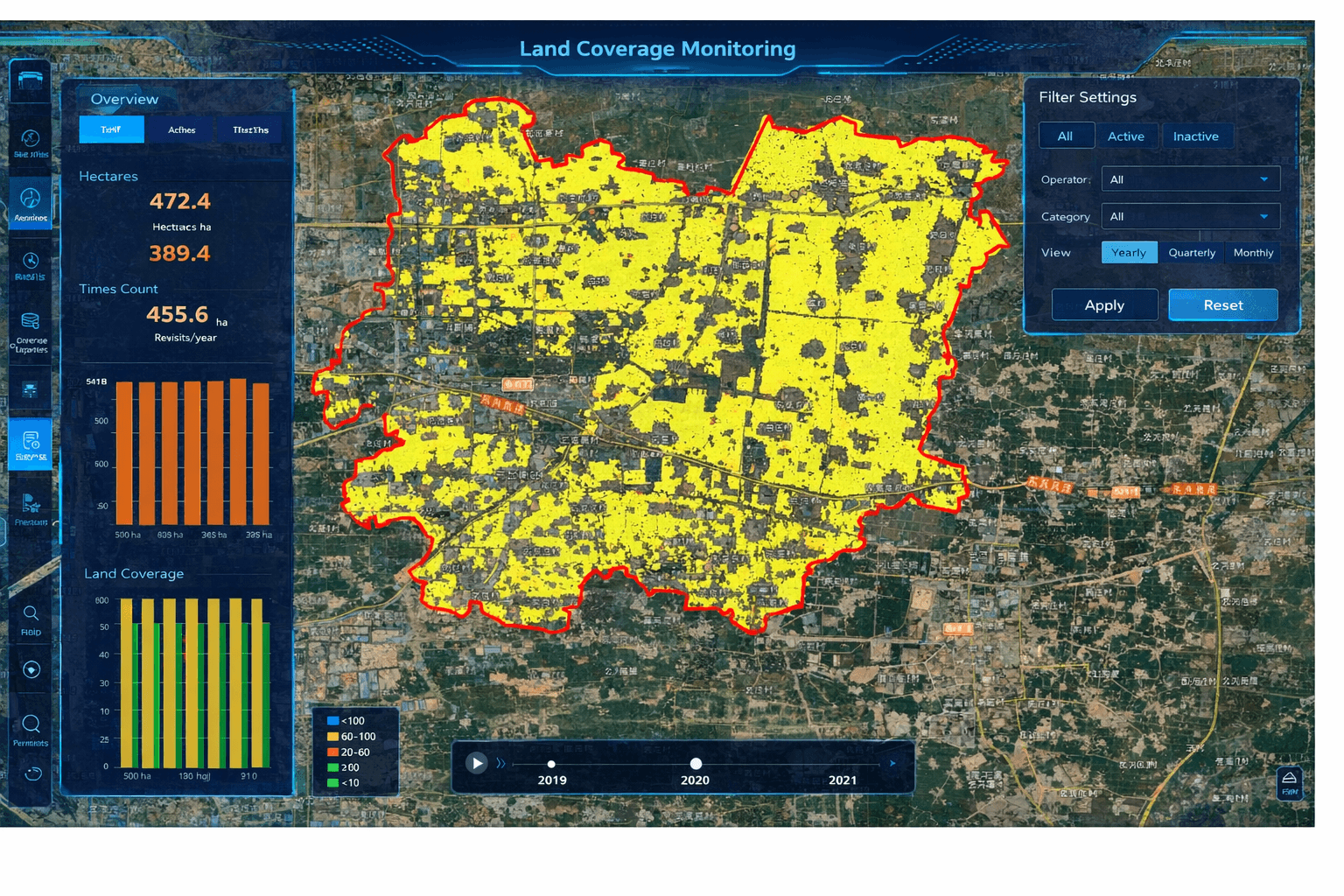
India and Nigeria: crop subsidies
Nationwide
Challenge: Agriculture departments needed to verify crop area and crop health across national farming regions before paying subsidies.
What we delivered: Nationwide crop health tracking, acreage audits and subsidy verification support.
Crop area · subsidy verification
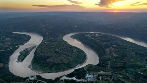
Yellow River Basin: watershed model
Basin-scale
Challenge: Water managers needed one consistent spatial model across a very large river system that crosses many provinces.
What we delivered: Unified high-resolution spatial modelling across the Yellow River Basin.
Watershed · hydrology
Acquisition capacity
Nationwide Acquisition Capacity From 130+ Satellites
Covering a country quickly needs wide swaths and high daily capacity, so scenes are collected close together in time and season.
✓SuperView Neo-3: 0.5m panchromatic and 2m 8-band multispectral over a 130 km swath
✓SuperView Neo system: 28 optical and SAR satellites, up to 30 million km² a day and up to 25 revisits a day
✓SuperView Neo-1 up to 1.5 million km² a day; SuperView-1 up to 2 million km² a day
✓GF-6 and GF-1 wide-field cameras with swaths up to about 800 km; GF-2 at 45 km
✓GF-3 C-band (1m) and LT-1 L-band (3m) SAR through cloud for tropical and monsoon countries
✓More than 25 years of archive for historical basemaps
Wide swath, fewer passesWide-field sensors cover large regions in far fewer strips, so the mosaic looks uniform.
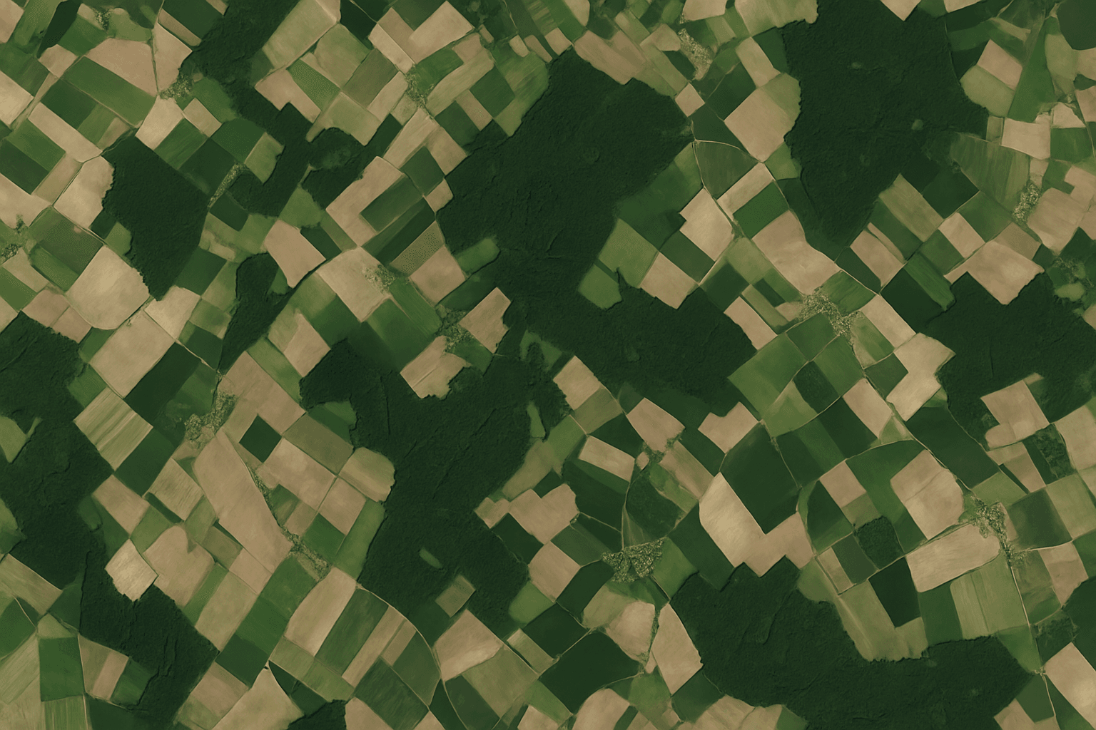
One seamless mosaicFields and roads run across scene edges with no visible seams.
Production
Automated Orthorectification and Mosaicking
Thousands of scenes become one uniform national basemap through XRTech Group's photogrammetric production chain. Every scene is checked for cloud, haze and geometry before delivery. See orthorectification.
✓Regional block adjustment with tie points and ground control
✓Precision orthorectification on high-accuracy DEMs
✓Atmospheric, haze and thin-cloud correction
✓Colour balancing across dates, sun angles and sensors
✓Seamlines routed along rivers, ridges and field borders, not across buildings
How to order
How to Order a Country-wide Basemap in 3 Steps
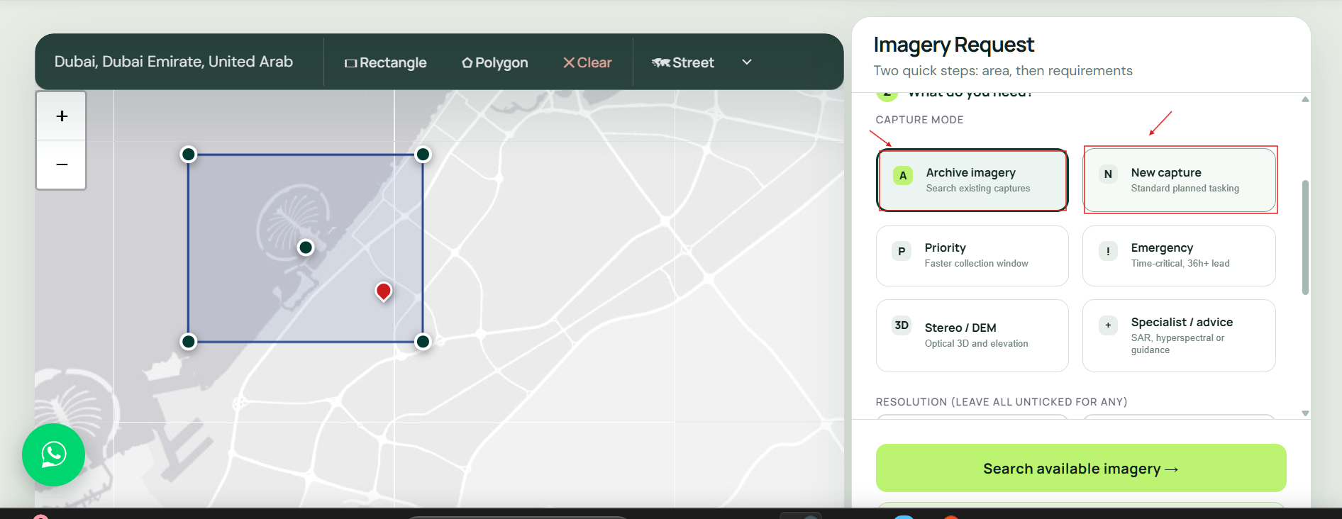
Country-wide programmes are planned with the XRTech Group team so archive, tasking and processing fit one schedule. Start with the quote form or WhatsApp.
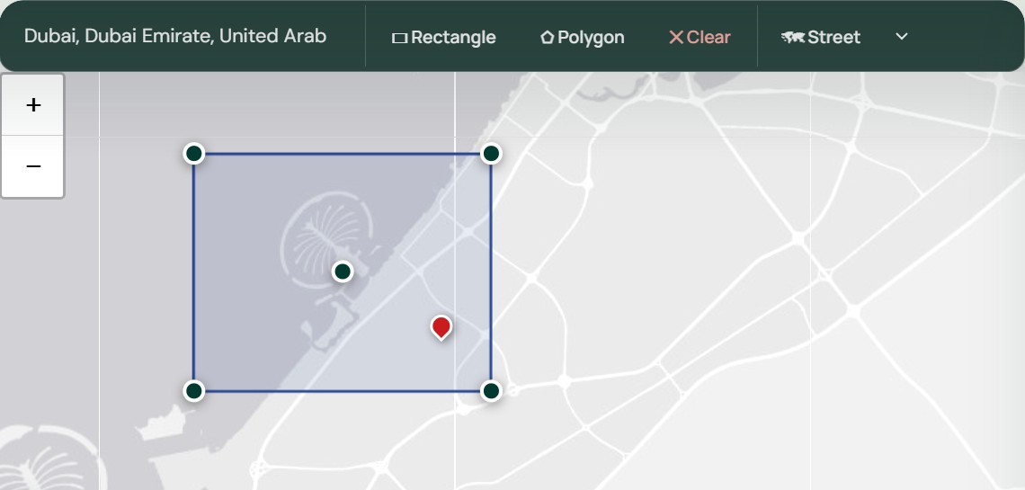
Step 1: Send the country, region or boundary
Send a country name, a list of provinces or a boundary file (KML, KMZ or SHP), the resolution you need and any layers such as DEM or land cover.
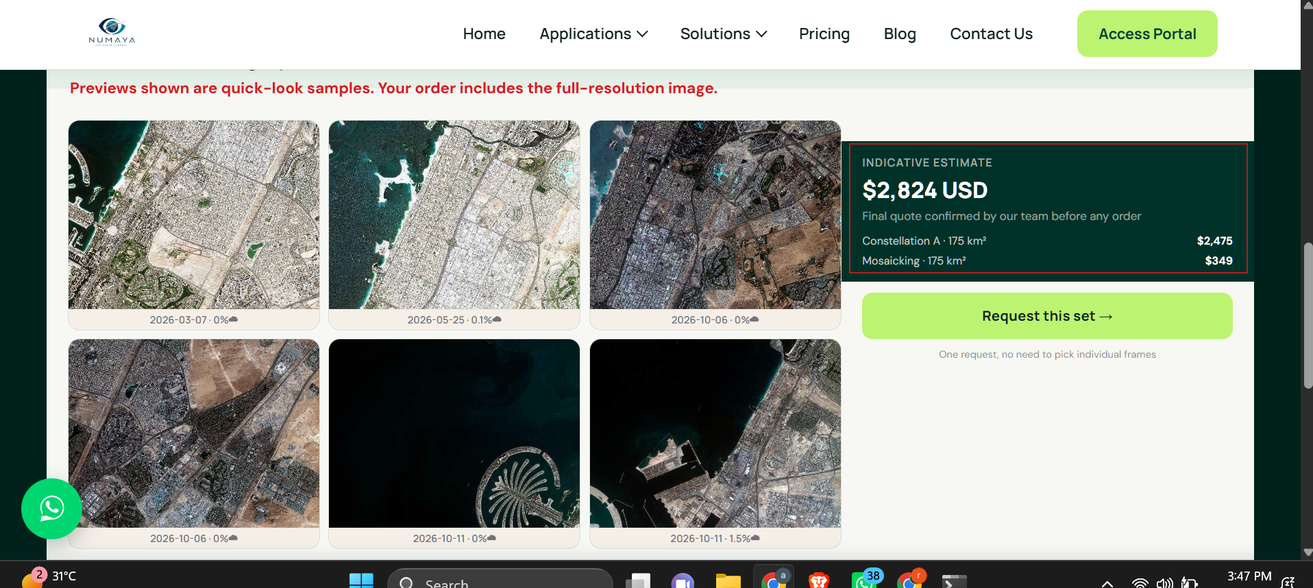
Quote within 24 hours
Price Your Country-wide Coverage
Send the country or region, total area and resolution. XRTech Group replies with archive coverage, a cloud-free plan, a phased schedule and a price per km².
FAQ
Country-wide Satellite Imagery: Your Questions Answered
What is country-wide satellite imagery?
Country-wide satellite imagery is wall-to-wall coverage of a whole country or region, processed into one seamless, cloud-free, colour-balanced orthomosaic basemap. XRTech Group supplies it at 30cm, 50cm, 80cm or 2m, with nationwide DEMs and GIS layers, delivered in your national grid.
How much does a country-wide satellite basemap cost?
XRTech Group archive imagery costs $1/km² at 2m, $5/km² at 80cm, $13/km² at 50cm and $20/km² at 30cm, with volume pricing from 250 km². At list price, 100,000 km² of 2m archive is $100,000 before volume pricing. Mosaic production, DEMs and GIS layers are quoted per project.
Where can I buy satellite maps of a whole country?
XRTech Group sells country-wide satellite maps as finished basemaps: seamless orthomosaics, DEMs, land cover and building layers. Send the country or boundary through the quote form and you receive archive coverage, a tasking plan and a price per km² within 24 hours.
Can I order custom satellite maps?
Yes. You choose the area, resolution, bands, projection, tile scheme and layers, such as DEM, land cover or building footprints. XRTech Group produces the basemap to that specification and delivers it as GeoTIFF, Cloud-Optimized GeoTIFF, JPEG2000, SHP or DWG.
What is a satellite imagery mosaic?
A satellite imagery mosaic joins many scenes into one continuous image. Scenes are orthorectified, colour-balanced and stitched along seamlines that follow rivers, ridges and field borders, so the result looks like a single cloud-free picture of the whole area.
Which satellite imagery platforms offer automated orthorectification and mosaicking?
XRTech Group runs an automated production chain: regional block adjustment with ground control, orthorectification on high-accuracy DEMs, haze and thin-cloud correction, colour balancing and seamline optimisation, delivered as finished tiles rather than raw scenes.
Which providers offer the widest imagery coverage?
XRTech Group has tasking access to 130+ satellites, including SuperView Neo-3 with a 130 km swath, the 28-satellite SuperView Neo system with up to 30 million km² a day, GF-6 and GF-1 wide-field cameras, and more than 25 years of archive.
Which resolution should I choose for a national basemap?
Most countries mix tiers: 30cm or 50cm over cities, corridors and priority sites, and 80cm or 2m wall-to-wall elsewhere. 2m suits land cover and agriculture statistics, 80cm regional planning and forestry, and 50cm or 30cm cadastre and urban mapping.
How long does a country-wide basemap take?
Regional optical basemaps can be delivered in under 7 days and national DEMs in under 21 days. Whole-country programmes are delivered in phases, archive areas first and newly tasked areas as they are collected.
How do you make cloud-free basemaps of tropical or monsoon countries?
XRTech Group picks the clearest scenes from more than 25 years of archive, tasks new collections with cloud limits where needed, and fuses optical imagery with GF-3 C-band and LT-1 L-band SAR, which images through cloud, to keep national layers continuous.
How accurate is a country-wide basemap?
Scenes are aligned by regional block adjustment with tie points and ground control points, then orthorectified on high-accuracy DEMs, so geometry stays consistent across the country. The accuracy target is confirmed in the quote. Nationwide DEMs reach about ±3m vertical RMSE.
What formats and coordinate systems do you deliver?
GeoTIFF, Cloud-Optimized GeoTIFF, JPEG2000, IMG, SHP and DWG, in WGS84, UTM zones or your national grid. Large orders are delivered as tiles by secure cloud link or API, or on encrypted hard drives.
Can you deliver a nationwide DEM, DSM or DTM?
Yes. XRTech Group produces nationwide DEMs, bare-earth DTMs and DSMs at 2m to 10m grid spacing with about ±3m vertical RMSE, for hydrology, flood risk, route planning and telecom line-of-sight. See DEM services.
Can you build historical basemaps for change detection?
Yes. With more than 25 years of archive, XRTech Group can build historical basemaps for baseline audits and compare them with current coverage to measure urban growth, forest loss or land use change.
Can the national basemap be updated every year?
Yes. Basemaps can be refreshed annually or quarterly, either for the whole country or only for fast-changing areas such as cities and growth corridors, at the same price per km² tiers.
Where can I find trusted aerial maps for wide-area planning?
For provinces and whole countries, satellite basemaps cost far less per km² than aerial surveys and can be collected without flight permits. XRTech Group supplies seamless satellite basemaps at 30cm to 2m for wide-area planning, with aerial-level detail at 30cm over cities.
Do I need an export licence, and how does licensing work?
No export licence is needed. XRTech Group is a non-US provider, so orders are not subject to ITAR or EAR. Country-wide basemaps come with flexible team-wide licensing for your organisation.
Reviewed by Mustafa Jawaad, General Manager, XRTech Group. Prices are XRTech Group's published list prices in USD per km².