HJ-1A/B/C Satellite Constellation

The HJ-1 series is a dedicated constellation for environmental monitoring and disaster assessment. Featuring a unique combination of optical (HJ-1A/B), hyperspectral (HJ-1A), infrared (HJ-1B), and Synthetic Aperture Radar (HJ-1C) sensors, it provides a comprehensive and multi-faceted view of the Earth's surface for complex analysis.

Artistic representation of the HJ-1 satellite constellation in orbit.

Max SAR Res.

5m

Max Optical Res.

30m

Max Swath

720 km

Sensors

Multi-Sensor

Bands (Hyper)

115

Primary Mission

Environment

Technical Specifications Comparison

Attribute HJ-1A HJ-1B HJ-1C (SAR)
Primary SensorOptical / HyperspectralOptical / InfraredC-Band SAR
Resolution30m (CCD)
100m (Hyper)
30m (CCD)
150m (IR)
5m (Strip)
20m (Scan)
Swath Width700km (CCD)
50km (Hyper)
700km (CCD)
720km (IR)
40km (Strip)
100km (Scan)
Spectral Bands4 (CCD)
115 (Hyper)
4 (CCD)
4 (IR)
C-Band

Features and Benefits

  • Multi-Sensor Synergy: The constellation's unique combination of optical, hyperspectral, infrared, and SAR sensors allows for comprehensive, multi-layered environmental analysis.
  • All-Weather Monitoring: With the HJ-1C SAR satellite, data collection is guaranteed for disaster response and environmental monitoring, even in cloudy or rainy conditions.
  • Wide Area Coverage: The optical and infrared sensors feature very wide swaths (up to 720 km), making them highly efficient for regional-scale monitoring and rapid assessment.
  • Advanced Spectral Data: HJ-1A's hyperspectral imager, with 115 bands, provides detailed data for material classification, while HJ-1B's infrared camera is key for thermal analysis and fire detection.

Applications

Disaster Assessment: Rapidly map the extent of floods (SAR), fires (Infrared), and other disasters to support emergency response and recovery efforts.
Environmental Monitoring: Conduct large-scale monitoring of land cover change, water quality, and vegetation health using the complementary sensor data.
Agriculture & Forestry: Use the wide-swath optical and hyperspectral data to assess crop conditions, monitor forest health, and manage resources over large areas.
Land Use Planning: Provide foundational data for regional land use classification, urban planning, and resource management.

Why Choose XRTech Group for HJ-1 Imagery?

We provide more than just satellite data; we deliver comprehensive solutions tailored to your project's specific needs, ensuring you get actionable insights quickly and efficiently.

Expert Consultation

Our geospatial experts provide a free consultation to understand your needs and recommend the best acquisition parameters to ensure optimal results for your project.

Rapid Delivery

Leveraging our direct partnership and access to a vast 130+ satellite constellation, we offer fast turnaround times, delivering imagery in days, not weeks.

Seamless Integration

We deliver data in industry-standard formats (like GeoTIFF) compatible with your GIS, CAD, or modeling software, with a team ready to support your workflow.

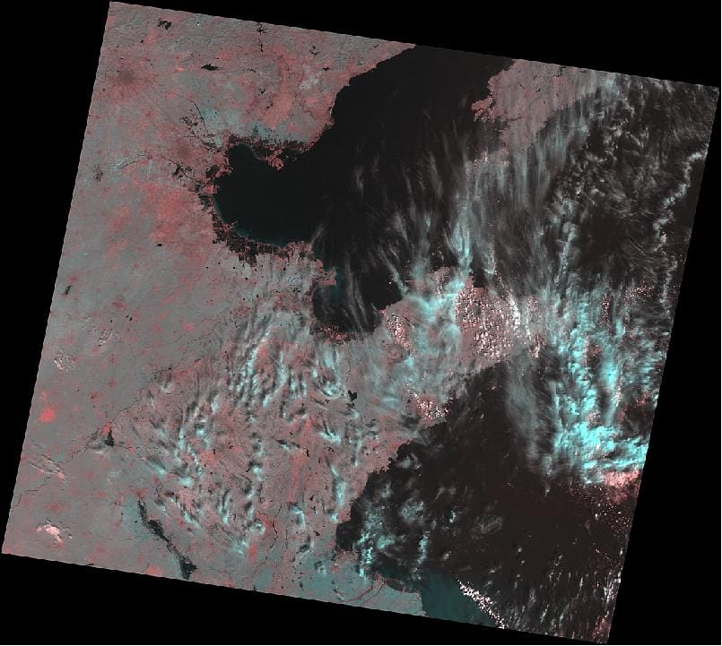
HJ-1 Series Sample Imagery

Sample wide-swath optical imagery from the HJ-1 constellation showing regional land cover.

Request Product Details

Satellite Imagery Advisor

Brief questions. Practical guidance. Get an indicative estimate instantly, and we only proceed to a formal quote once the basics are clear.

Advisor mode: this form will recommend the lowest resolution and type that fits your objective so you do not overpay.
Step 1 — Area & Location
1 / 4
Start simple: Upload a KML/KMZ/ZIP if you have it. If not, a bounding box or center plus dimensions works fine. We will calculate area for you where possible.
Upload AOI file (KML / KMZ / ZIP) — recommended
Preferred: a single polygon AOI. We compute the area automatically.
Enter corner coordinates (bounding box)
Use min/max latitude and longitude.
Enter center coordinate + width & height
Good for quick feasibility when exact boundaries are not available.
Describe location (city / region / site name)
We will follow up to confirm an AOI boundary if needed.
Advisor note: If speed is the priority, we usually check archive first. If you need a specific date window or fresh capture, choose new tasking.
Archive imagery
Previously captured imagery, typically faster delivery.
New capture (tasking)
Satellite is tasked for your AOI; weather and availability can affect capture date.
Not sure, advise me
We will recommend the most feasible option based on area, timing, and objective.
Minimum order guidance
Archive imagery: typically 15 to 25 km²
New capture: typically 50 to 100 km²
Feasibility depends on satellite, location, and timing.
Pick a date window. We will advise what is realistic for your area and cloud conditions.
Resolution guidance: Higher resolution increases detail and cost. We will recommend the lowest resolution that meets your objective.
I know what I need
Select 30cm, 50cm, 75cm, or 1m.
Advise me based on my objective
Answer a quick question about what you need to see.
Almost done. You will see an indicative estimate. If you agree, we will run feasibility and send a formal quote.
I understand this is an indicative estimate and request feasibility and a formal quote.
We handle requests confidentially. No data is shared with third parties.
Protected by spam filter and bot detection. Genuine enquiries only.
Live Summary
Updates as you answer
Area (km²)
AOI method
Coordinates / Location
Imagery type
Date range
Resolution

Indicative Estimate

Based on XRTech published pricing. Final price confirmed after feasibility check.
Complete Steps 1 to 3 to see an estimate.
Once you submit, XRTech will:
  • Archive: run a coverage check in your date range
  • Tasking: confirm window and issue order form or invoice

Quote Request Sent

Your satellite imagery request has been sent to admin@xrtechgroup.com. XRTech will review feasibility and send a formal quote within 24 hours. A free sample tile for your AOI is included in the quote response.