
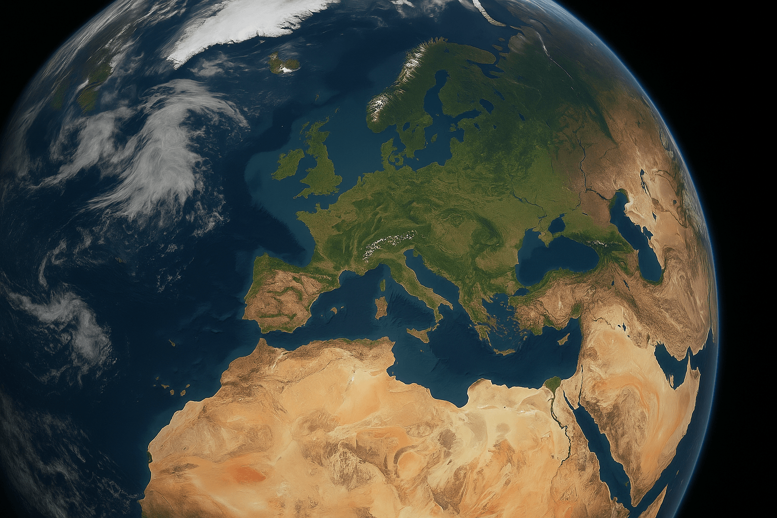
Real-Time Satellite Images and Near-Live Satellite View of Earth
No satellite streams live video of the Earth, but you can get very close. XRTech Group delivers near real-time satellite imagery from 130+ satellites: the newest archive scenes within 48 hours, and emergency tasking at up to 25cm delivered within 24 hours of capture, for any location on Earth.
✓Search the most recent captures over your area, no login required
✓Task a satellite with up to 25 revisits a day over your target
✓Optical imagery from 25cm to 2m, plus radar (SAR) that sees through cloud
✓Delivered as GeoTIFF, SHP or DWG, or streamed to your GIS via WMS
Trusted by governments, planners and responders across the world.
We respond in under 24 hours. Free satellite imagery samples can be included.
25cm
Sharpest commercial optical resolution available
24h
Emergency imagery delivered after capture
25×
Revisits a day over a target across our fleet
130+
Optical and radar satellites, worldwide coverage
The closest thing to liveEmergency tasking puts a sub-metre image of your site in your hands within 24 hours of the satellite pass.
Real-time vs near real-time
What Is Real-Time Satellite Imagery?
Real-time satellite imagery is not live video. "Real-time" and "live" satellite views show the most recent still image of a place: it is captured on a satellite pass, downlinked to a ground station, processed and published with a delay of a few minutes to a few hours. The accurate term is near real-time (NRT) satellite imagery.
How fresh an image can be depends on the satellite. Weather satellites in geostationary orbit refresh a whole hemisphere every 5 to 10 minutes, but at 0.5km to 2km per pixel. Satellites sharp enough to show cars and buildings orbit much lower, so each one passes over a place about once a day. XRTech Group combines 130+ of them, so the next high-resolution capture of your site is usually hours away, not weeks.
✓Live satellite view: the newest image published, not a video feed
✓Near real-time: delivered minutes to hours after capture
✓Recent archive: the latest existing image, days to weeks old
✓Google Earth and Maps: mosaics that are often months to years old
Latency
How Recent Are Live Satellite Images?
Every "live" satellite map has a delay. This is how fresh each type of satellite image typically is, from free weather views to XRTech Group's high-resolution tasking.
Source
Typical delay
Detail per pixel
Best for
Geostationary weather satellites (GOES, Himawari, Meteosat)
5 to 10 minutes, 1 minute for storm sectors
0.5km to 2km
Clouds, storms, smoke and hurricanes
Polar weather and science satellites (MODIS, VIIRS)
Within about 3 hours
250m to 1km
Wildfires, floods, dust and air quality
Free land satellites (Sentinel-2, Landsat 8 and 9)
Hours to a day, revisit every 5 to 8 days
10m to 30m
Crops, forests, water and land cover change
Free radar satellites (Sentinel-1)
Hours, revisit about every 6 to 12 days
5m to 20m
Floods and ships through cloud
XRTech Group recent archive
Delivered within 48 hours of approval
25cm to 2m
The latest existing view of a site
XRTech Group emergency tasking
Delivered within 24 hours of capture
25cm to 80cm
Disasters, incidents and time-critical sites
XRTech Group SAR tasking
Captured day or night, through cloud
1m to 10m
Floods, ships and sites under cloud
Delays are typical published values and vary with satellite schedules, ground station passes and weather.

Free options
Free Near Real-Time Satellite Viewers
Free viewers are the right tool for weather, wildfires and regional change. They cannot show a car, a roof or a construction site: for that you need commercial high-resolution imagery.
NOAA Earth in Real-Time
Updated every 5 to 10 minutes
Live environmental and weather satellite imagery of the US and the globe to follow clouds, storms and smoke.
Zoom Earth
Updated every 10 minutes
Near real-time global weather map for storms, fires and rainfall, built on geostationary satellite imagery.
NESDIS Satellite Maps
Updated every 5 to 10 minutes
Interactive GOES and JPSS regional imagery for tracking smoke, dust, moisture and hurricanes.
NASA Worldview
Data within about 3 hours
Browse, compare and animate full-resolution global imagery from MODIS and VIIRS for wildfires, air quality and floods.
NASA Eyes on the Earth
Updated daily
A 3D view of NASA's Earth science missions and the planet's vital signs, from sea level to carbon dioxide.
Copernicus Browser
Hours to a day
Free Sentinel-1, Sentinel-2 and Landsat imagery at 10m to 30m for land, water and vegetation change.
Need to see buildings, vehicles or a single site? Search XRTech Group's high-resolution catalogue ↗
Near real-time high resolution
Near Real-Time Satellite Imagery at 25cm to 80cm
XRTech Group gets you the freshest high-resolution image of any site in two ways: search the most recent archive captures over your area, or task a satellite for a brand-new image. Tasking commands are uploaded within 3 hours of a confirmed order, and with up to 25 revisits a day over a target across our fleet, the next capture is rarely far away.
✓Emergency: tasked immediately, delivered within 24 hours of capture
✓Priority: captured in 3 to 5 days
✓Standard: captured within 7 days
✓Scheduled repeat captures for continuous monitoring of your area
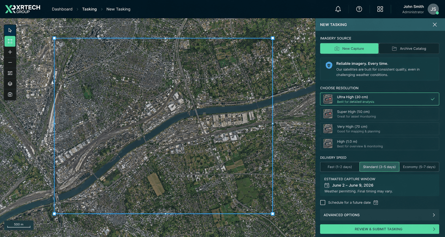
New capture, your windowPick resolution, dates and cloud cover, then submit for a firm quote.
Our satellites
Satellites for Real-Time and Near Real-Time Imagery
XRTech Group sources near real-time imagery from 130+ optical and radar satellites across multiple leading providers. These high-resolution constellations are the most requested for fast, recent captures. For cloud or night-time coverage, SAR satellite imagery is available too.
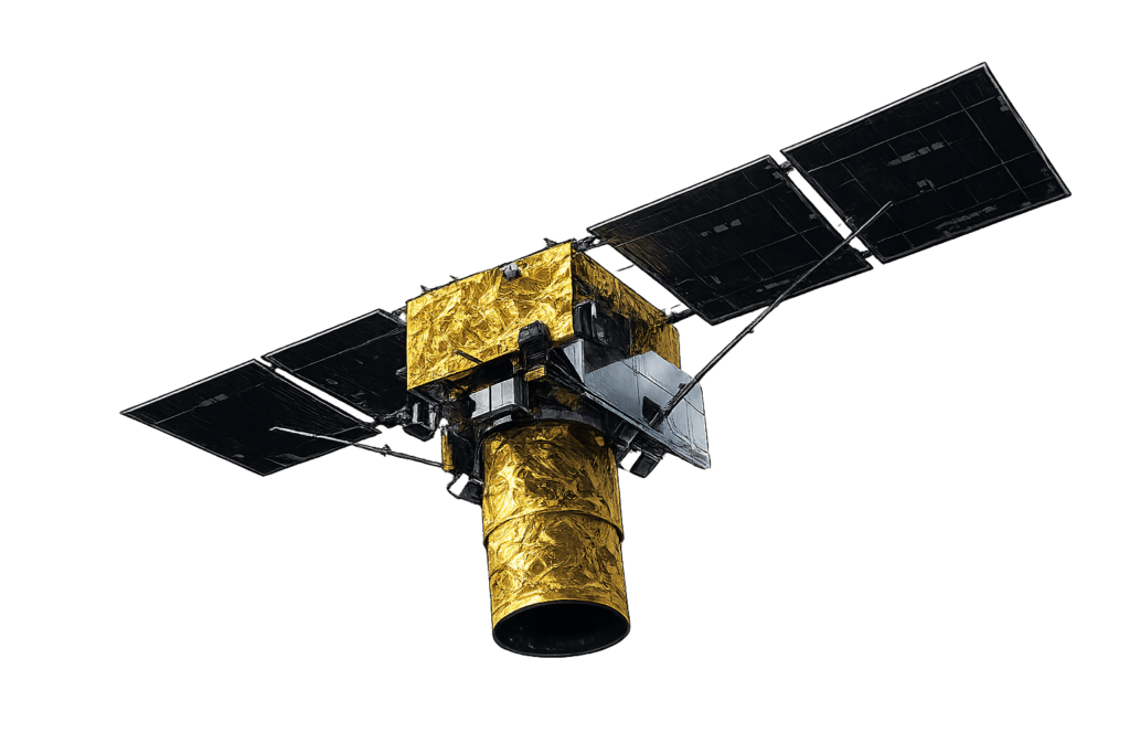
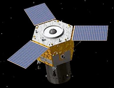
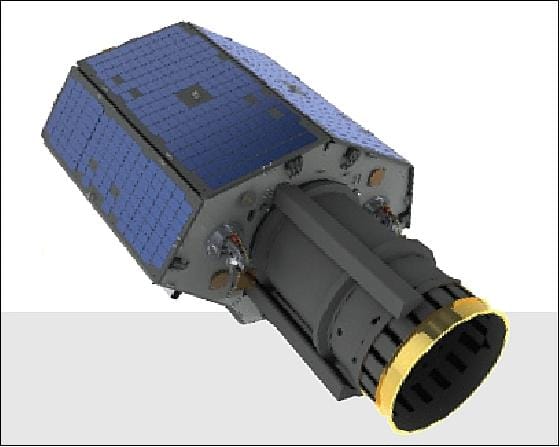
SuperView Neo-1 03/04
25cm
The sharpest commercial optical satellites available, for site-level detail on the latest pass.
25cm PAN · 1m MS · 3.5m CE90
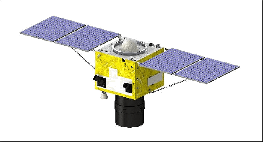
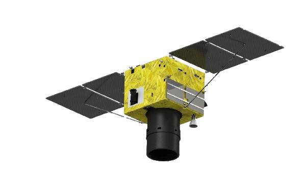
SuperView Neo-1 01/02
30cm
True native 30cm with daily revisit, the workhorse for recent site imagery and ongoing monitoring.
30cm PAN · Daily revisit · CE90 ≤4m
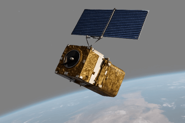
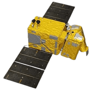
SuperView Neo-3
50cm
A 130km footprint, the widest in the SuperView fleet, for capturing large regions in a single recent pass.
50cm PAN · 130km swath

Samples
Recent High-Resolution Satellite Image Samples
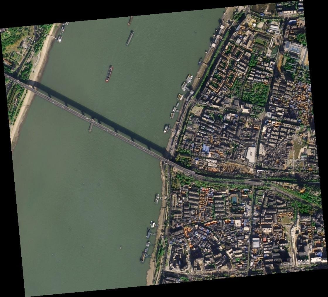
These samples show the detail you get from XRTech Group's near real-time and archive imagery, from 15cm HD to 2m. Ask for a free sample of your own area before you order, with no risk or obligation.
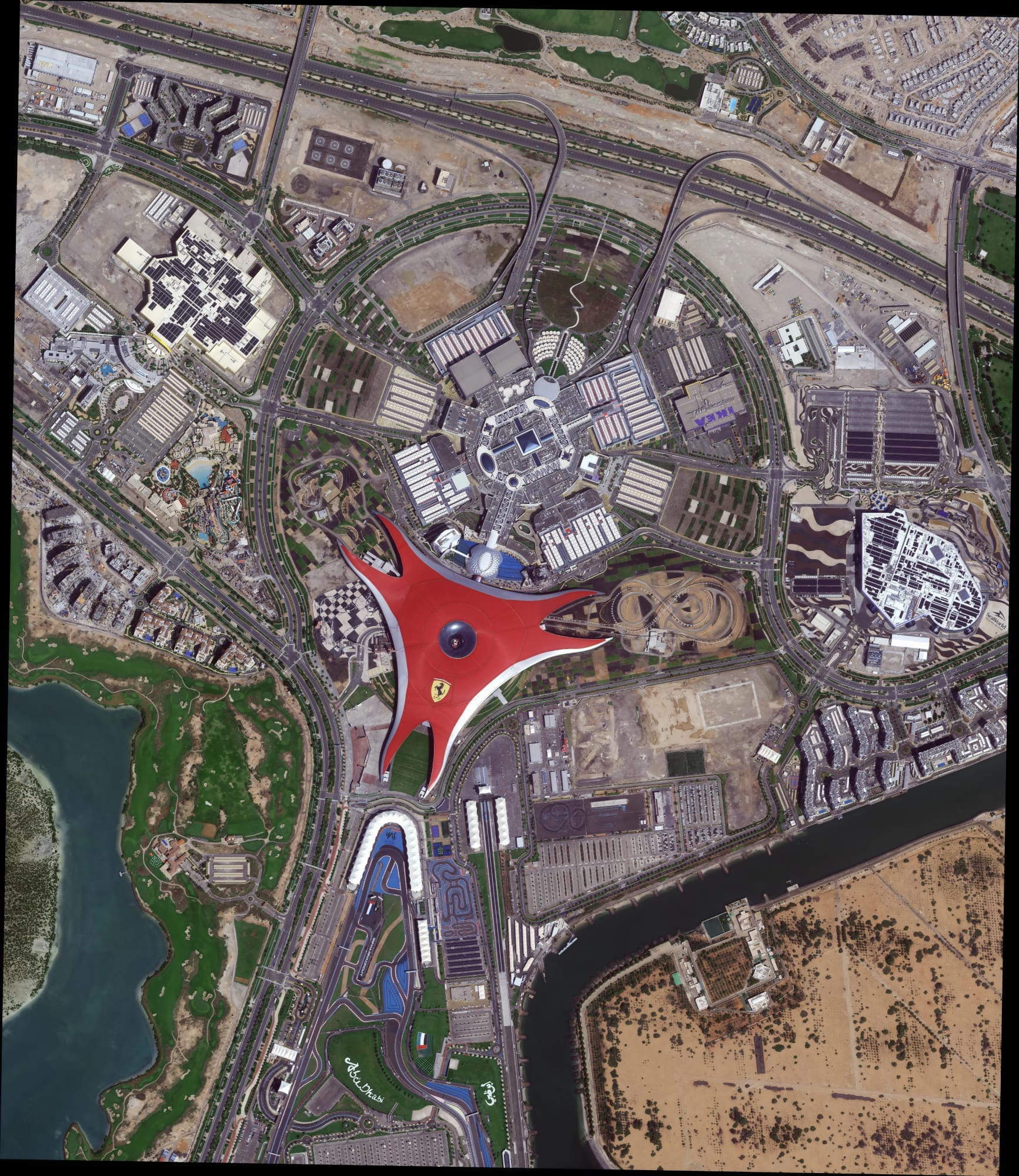
Abu Dhabi HD 15cm
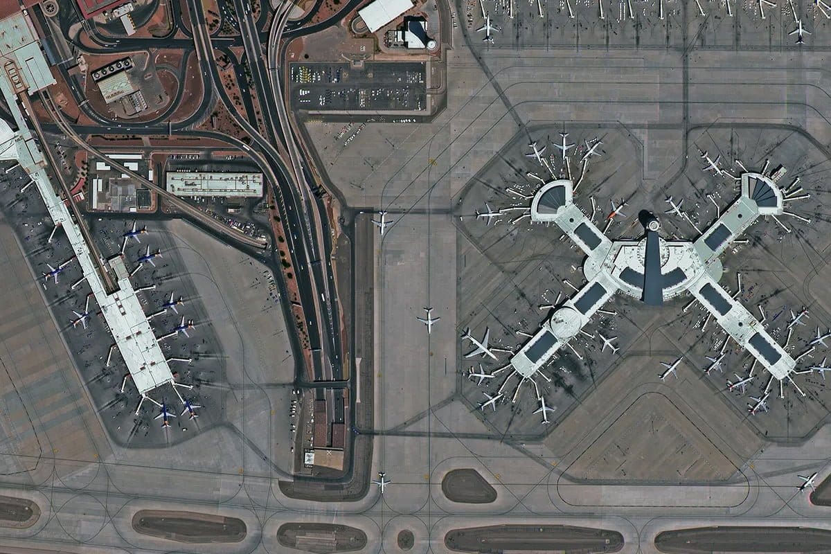
Las Vegas 30cm
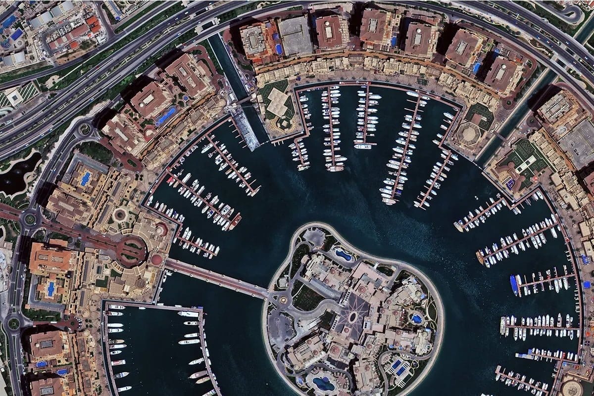
Doha 30cm
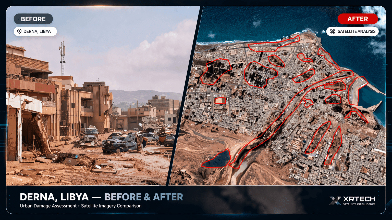
Derna flood, 24 hours
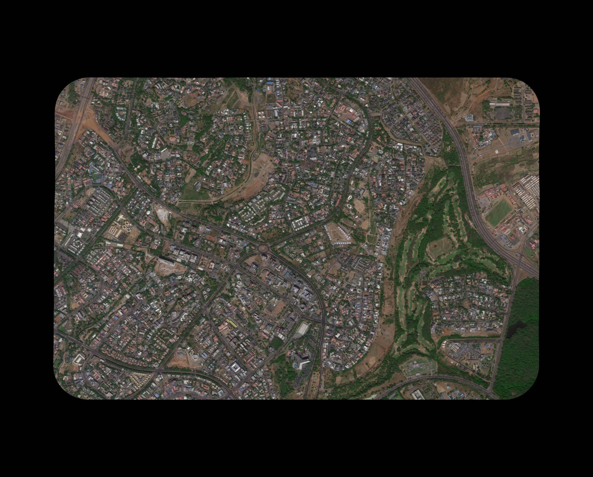
Nigeria 30cm
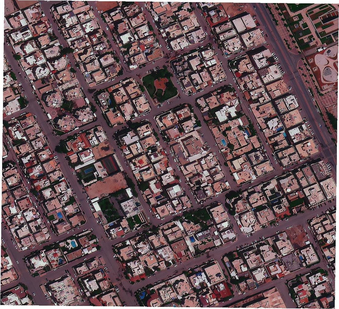
Riyadh 50cm
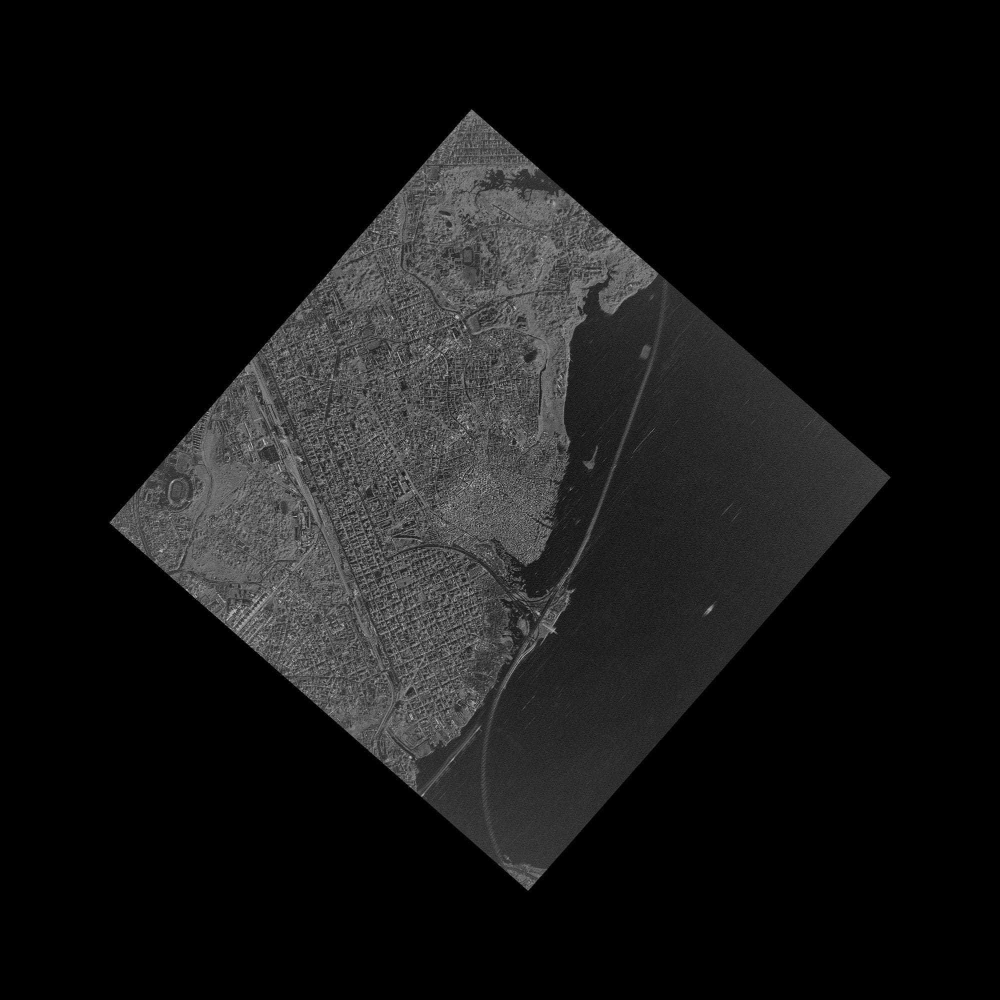
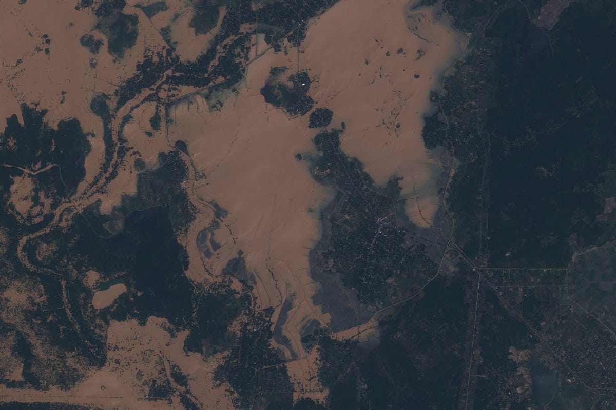
Nigeria SAR, through cloud
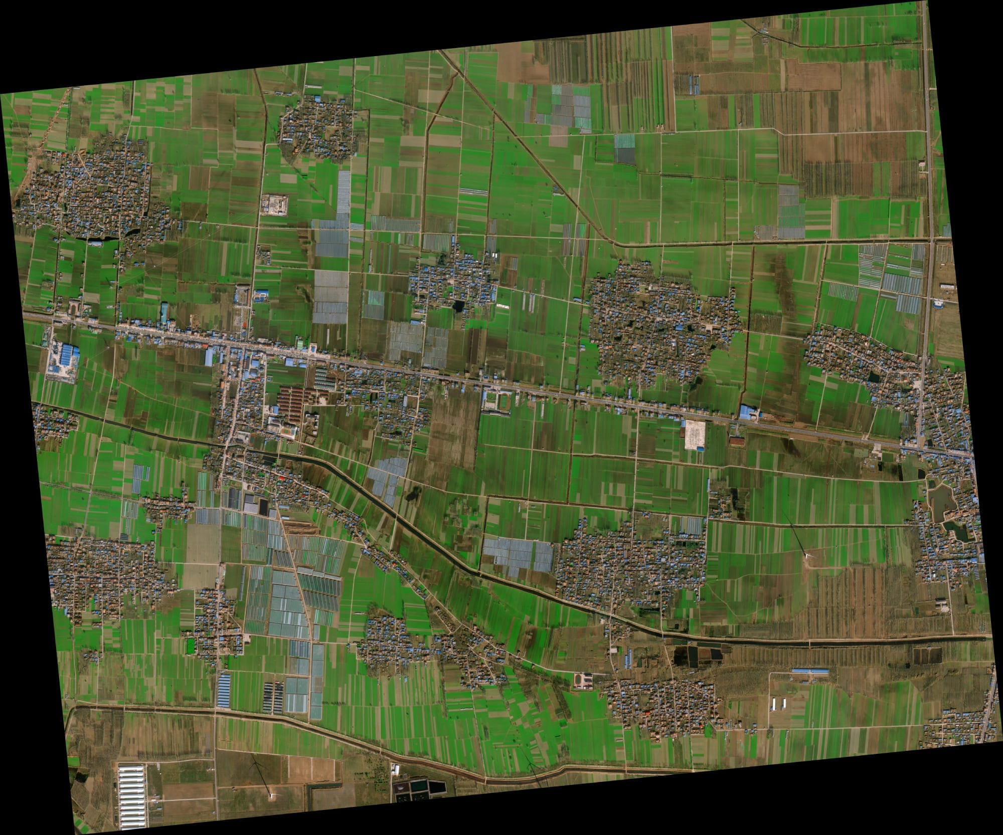
China 80cm
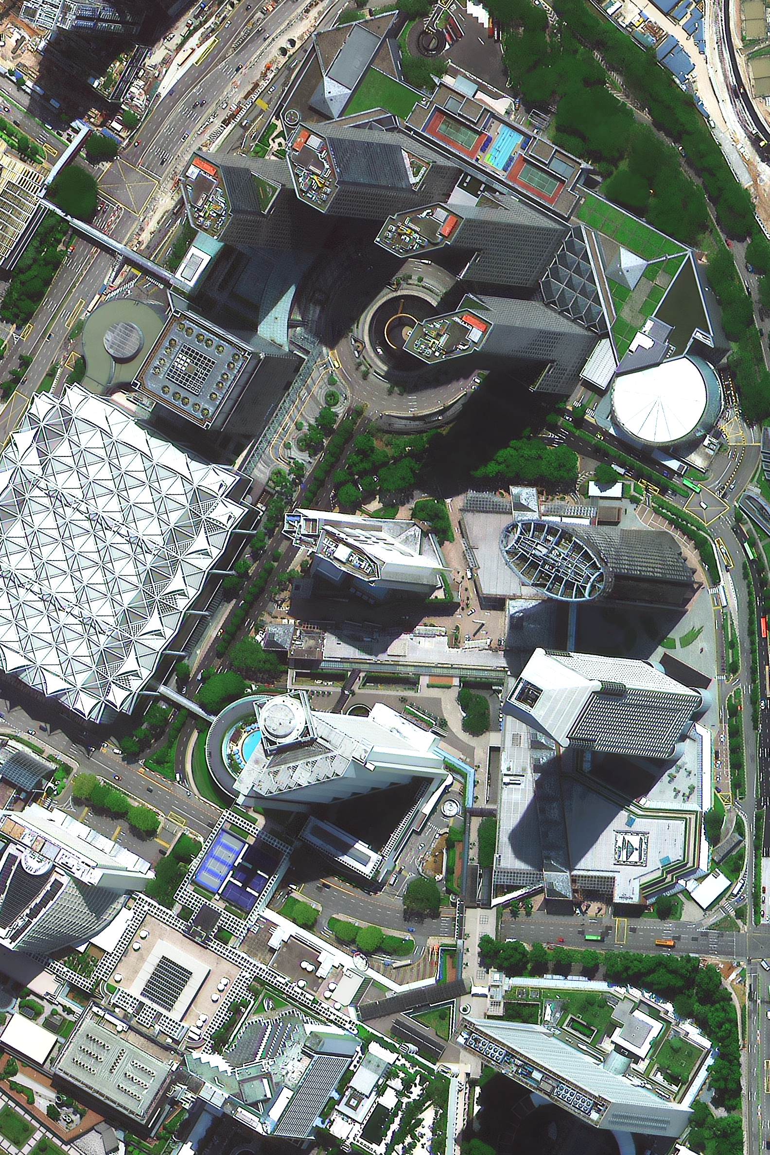
Singapore 30cm
Features
Key Features for Real-Time Satellite Insights
Everything you need to find, compare and use the latest satellite images of your area, with XRTech Group's analysts on hand when you need more than imagery.
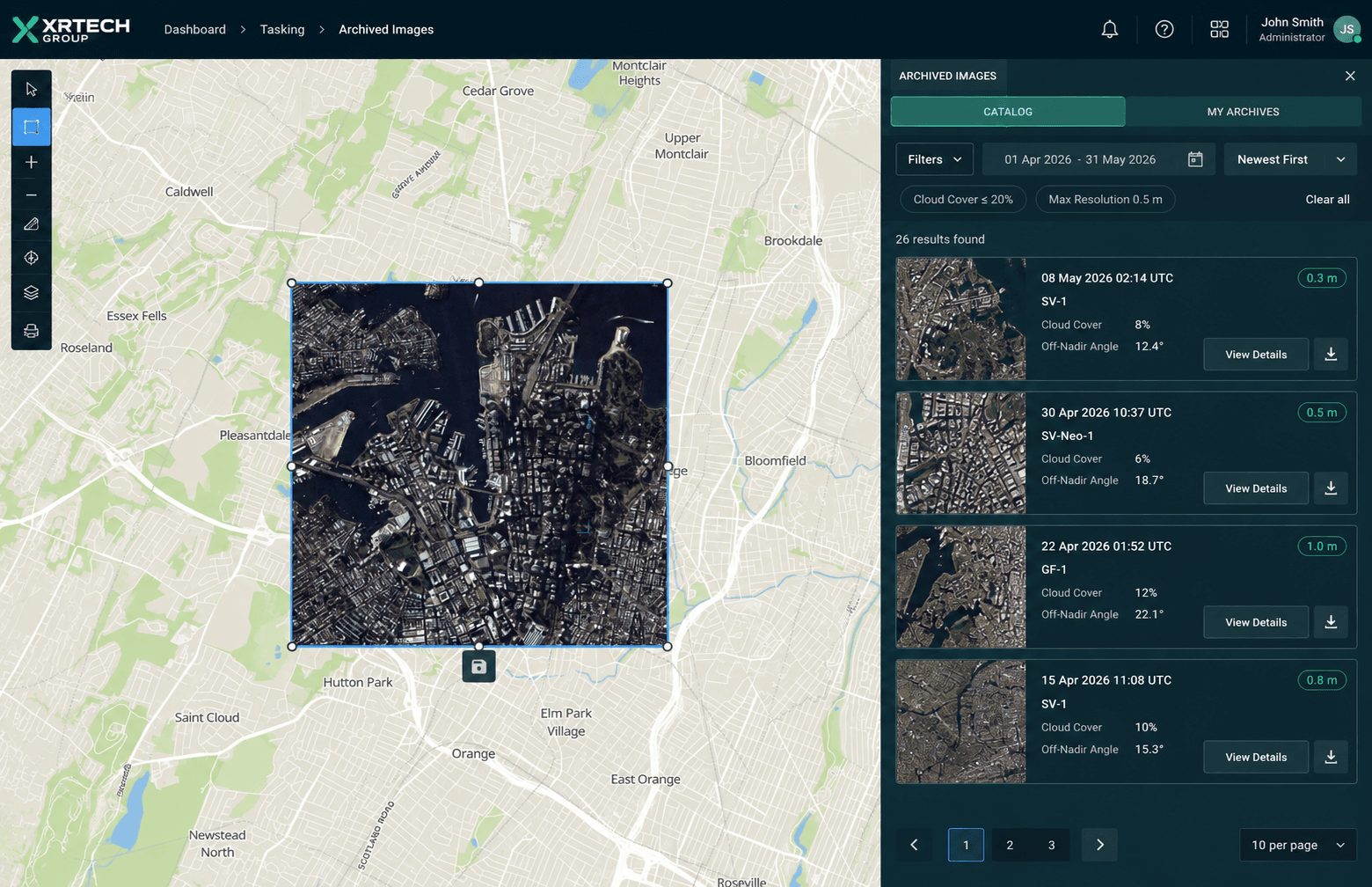
Satellite imagery search and mosaic
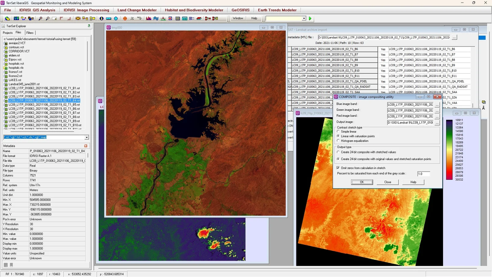
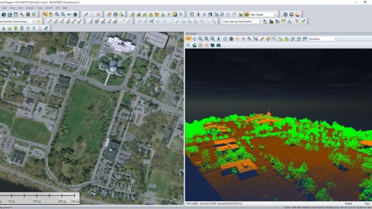
Find current and historical satellite views by capture date and coverage area while filtering out cloudy scenes. View a single image in detail, or have several combined into one seamless mosaic, whether you are studying a single field or a whole region.
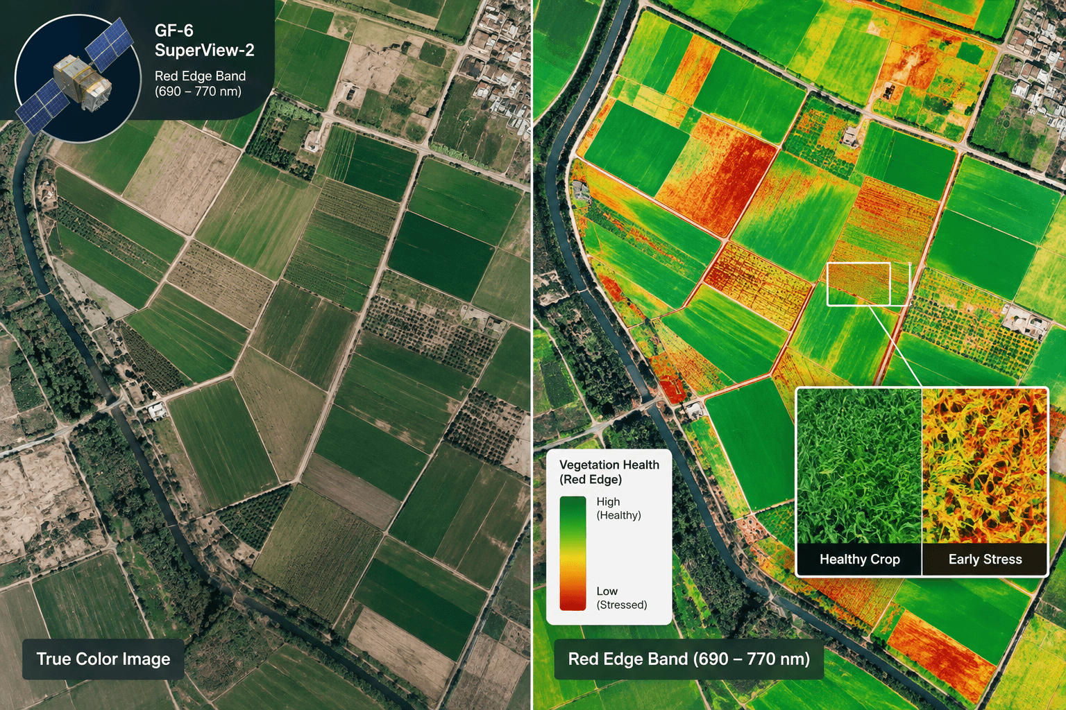
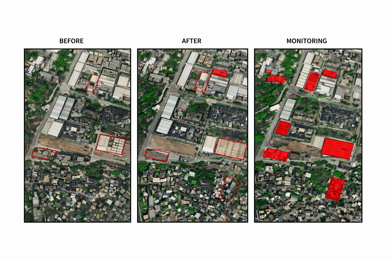
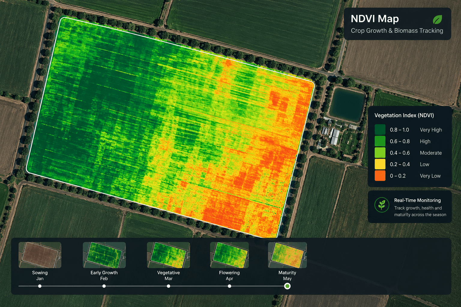
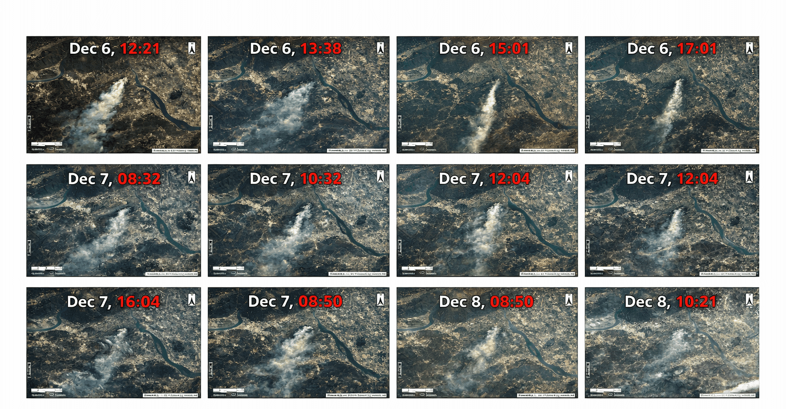

Need Help Turning Imagery into Decisions?
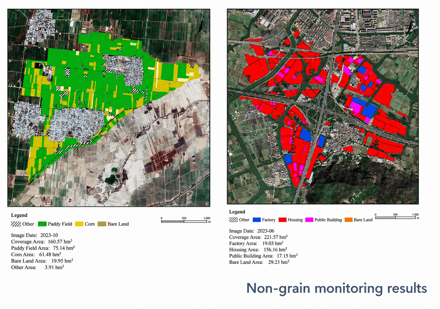
Get continuous monitoring of your area of interest, custom analytics and clear recommendations from XRTech Group's geospatial team: change reports, damage assessments, volume calculations and more, built around your use case.
Talk to an AnalystHow to order
How to Get Near Real-Time Satellite Images in 4 Steps
From drawing your area to receiving the newest image, everything happens in XRTech Group's online satellite imagery tool, with our team confirming every order.
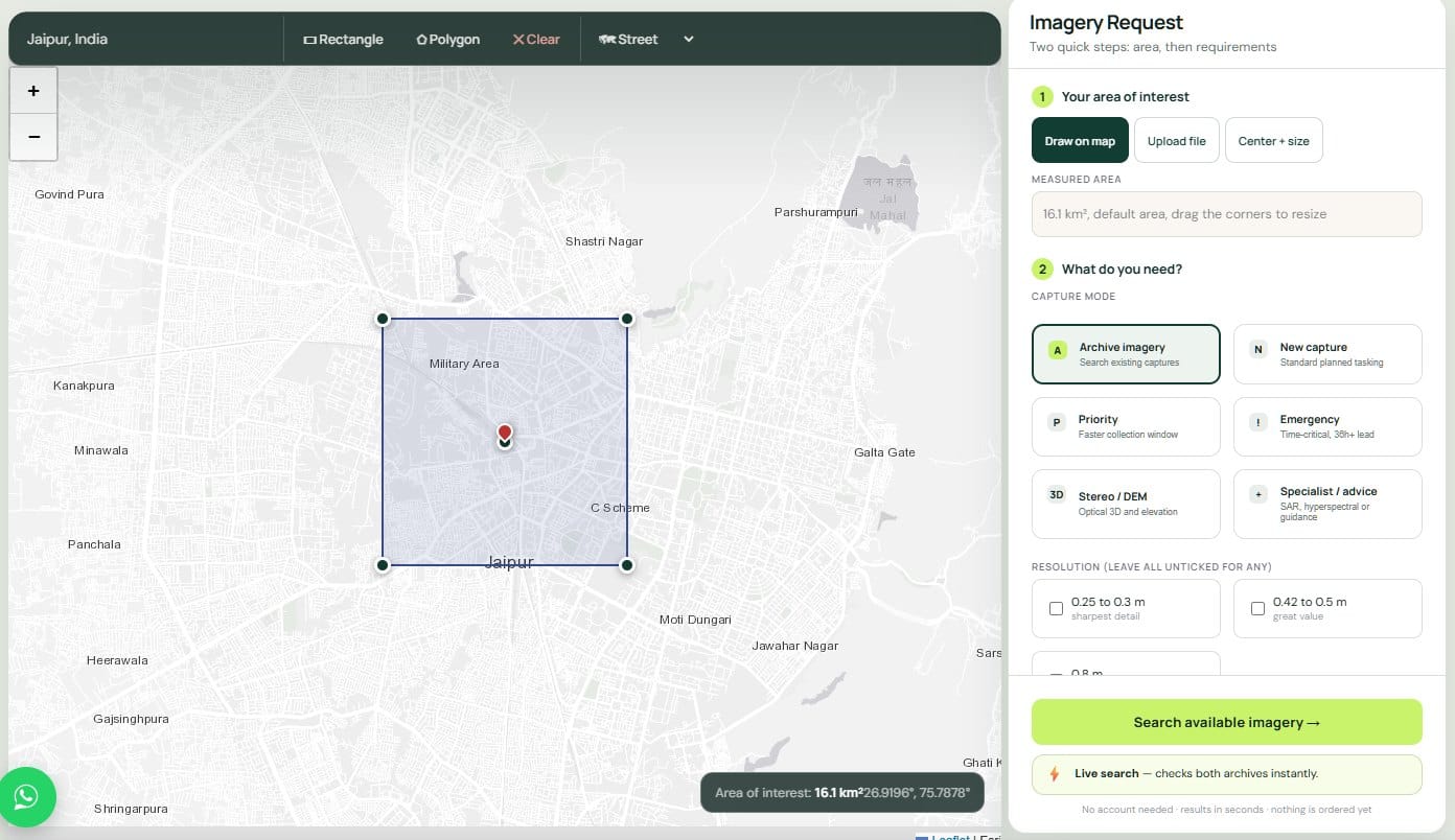
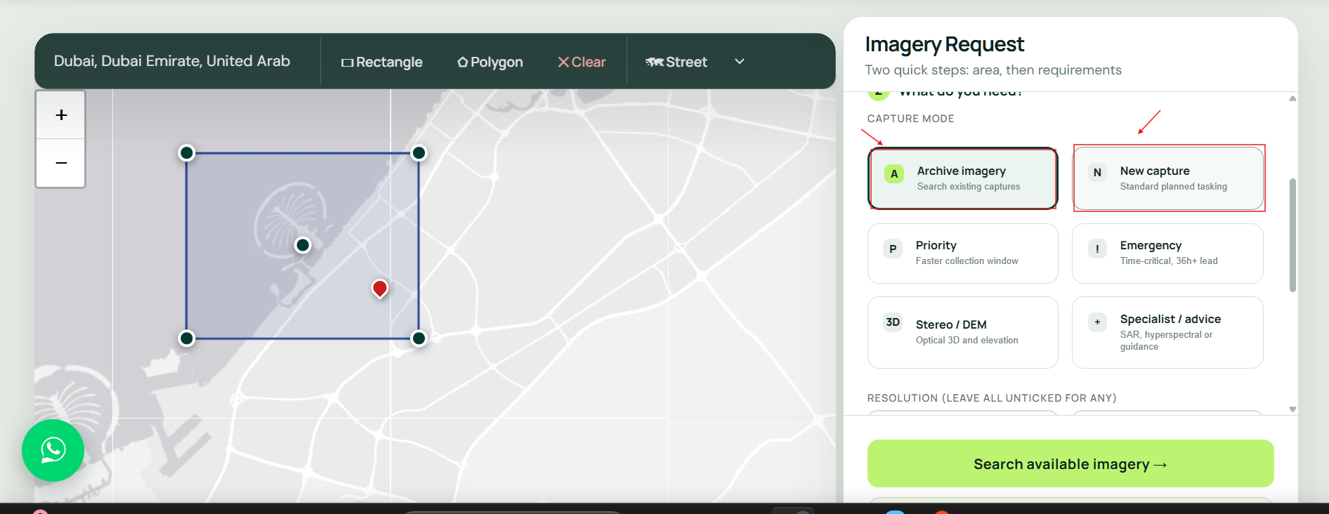
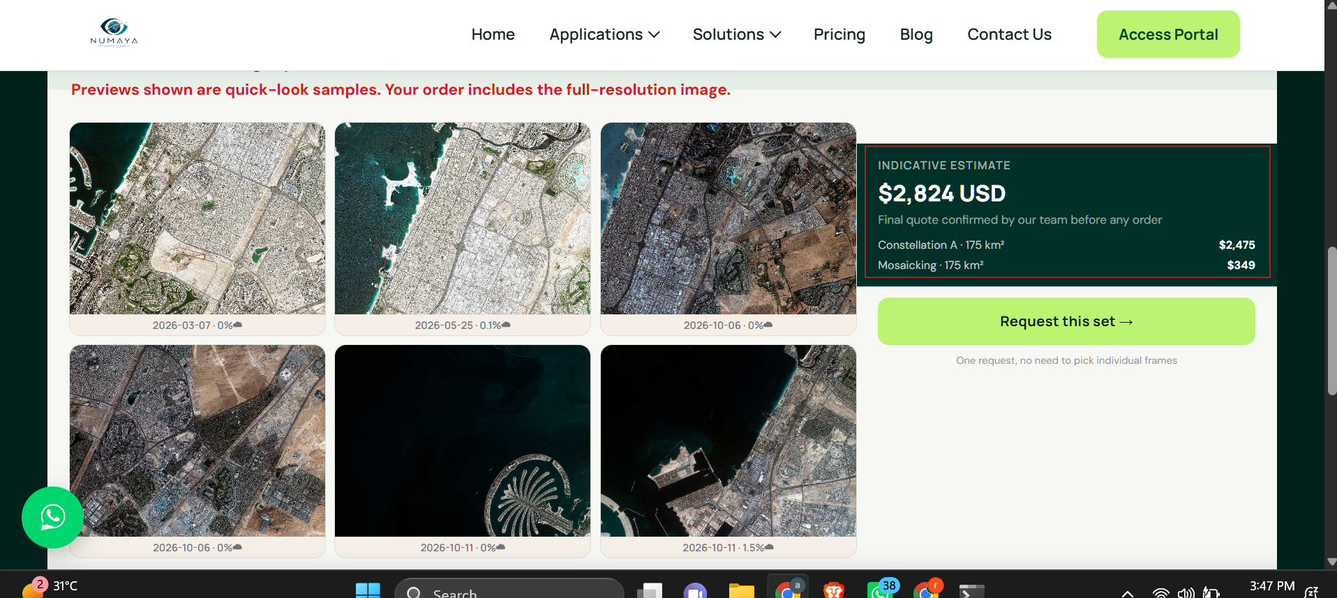
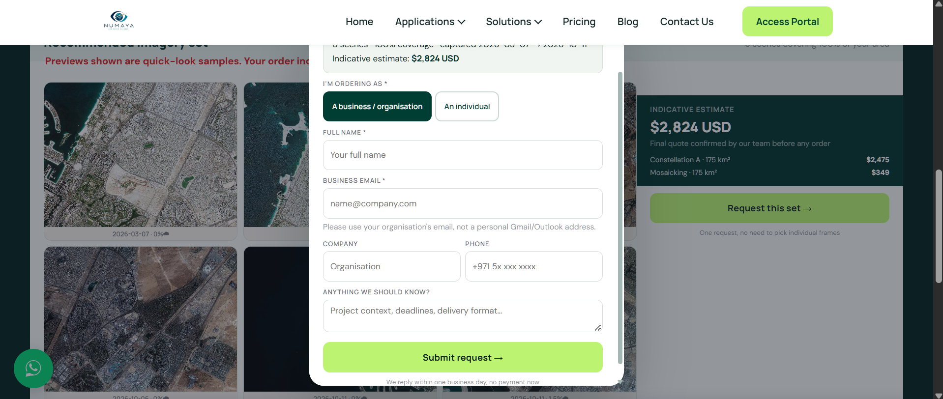
Step 1: Draw your area of interest
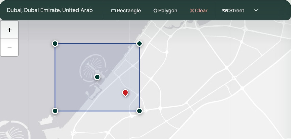
Open the XRTech online satellite imagery tool, no login required, and draw a rectangle or polygon over your site. You can also upload a KML, KMZ or Shapefile boundary, or enter coordinates.
Industries
Industries That Benefit from Real-Time Satellite Data
Whenever conditions on the ground change fast, teams in construction, energy, insurance and government use XRTech Group's near real-time satellite images instead of site visits.
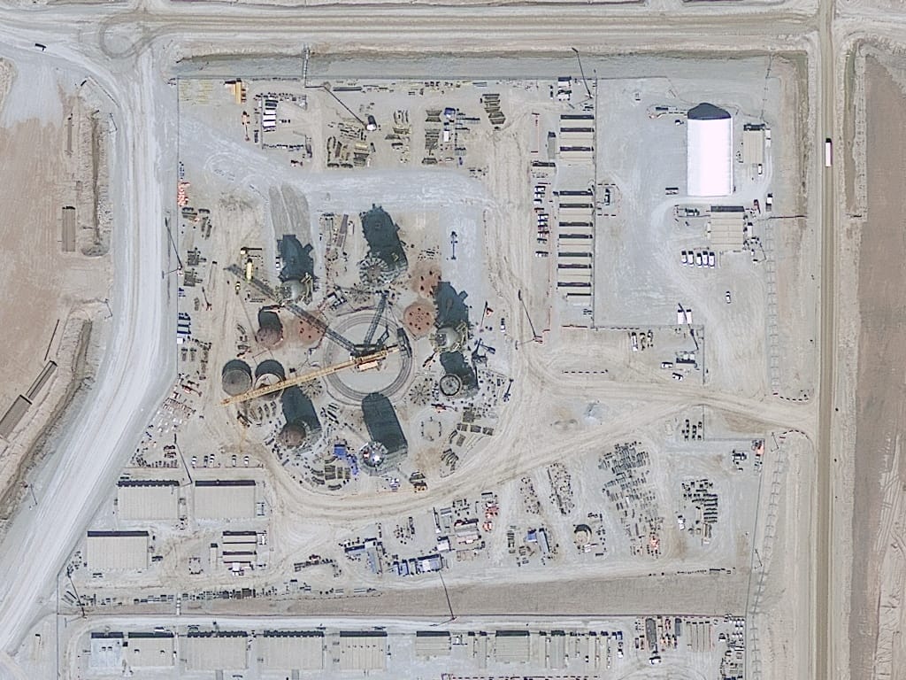
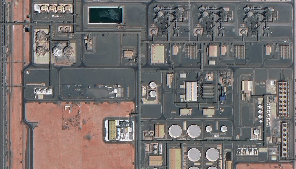
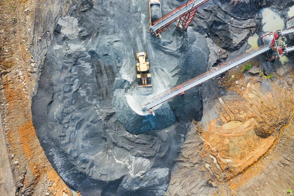
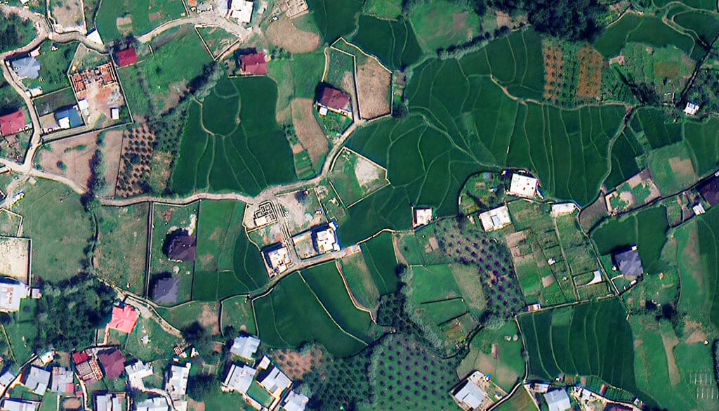
Construction Monitoring: See Every Site as It Is Now
Check foundation works, equipment and structural progress on the latest 30cm to 50cm captures, weekly or on demand, across any number of sites without site visits.
• Resolve foundation detail and equipment at 30cm
• Weekly or monthly progress documentation
• Multi-site monitoring from a single order
• Verify milestones and detect unauthorised activity

Pricing
Near Real-Time Satellite Imagery Pricing: Fixed per km² Rates
XRTech Group charges a fixed price per km², with no subscription, contract or hidden fees. Priority and emergency tasking cost more because the satellite is scheduled around your deadline. Published list prices in US dollars, before volume discounts.
High Resolution
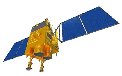
51cm to 80cm | GF-7, GF-2, TripleSat
Archive image (over 90 days):
USD 5/km² (min. 25 km²)
New tasking image:
USD 8/km² (min. 100 km²)
Stereo at 2× the mono price. Priority and emergency on request.
Select PackageMost popular
Very High Resolution
31cm to 50cm | SuperView-1, SuperView-2, SuperView Neo-3, Beijing-3A
Archive image (over 90 days):
USD 13/km² (min. 25 km²)
New tasking image:
USD 20/km² (min. 100 km²)
Priority USD 37 · Emergency USD 66 · Stereo USD 40/km²
Select PackageSuper High Resolution
25cm to 30cm | SuperView Neo-1, Beijing-3B
Archive image (over 90 days):
USD 20/km² (min. 25 km²)
New tasking image:
USD 30/km² (min. 100 km²)
Priority USD 45 · Emergency USD 80 · Stereo USD 60/km²
Select PackageStandard Resolution
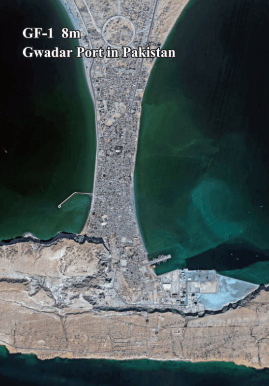
1m to 2m | GF-1, GF-6, ZY-3
Archive image (over 90 days):
USD 1/km² (min. 25 km²)
New tasking image:
USD 2/km² (min. 100 km²)
Stereo at 2× the mono price. Smallest order USD 25.
Select PackageWhat affects near real-time satellite imagery price?
Resolution: from $1/km² at 2m to $20/km² at 30cm
Archive or new tasking: archive is lowest cost; tasking starts at $2/km² at 2m and $8/km² at 51cm to 80cm
Urgency: priority and emergency tasking cost more than standard
Area: minimum 25 km² archive and 100 km² tasking; volume pricing from 250 km²
Cloud cover limit: 10% or less +$8/km², 5% or less +$15/km²
Viewing angle: 15° or less +$3/km², 10° or less +$9/km²
Stereo and bands: stereo 2×, tri-stereo 3×, 8-band +10%
Results
Near Real-Time Imagery When It Mattered
Governments, planners and responders choose XRTech Group when they need a current view of the ground, fast.
Derna, Libya: Flood Imagery in 24 Hours
Delivered while others were still quoting: clear waterline mapping and evacuation zone modelling helped authorities plan safe zones and allocate emergency resources.
Sri Lanka: Cyclone Flood Imagery in 3 Days
Emergency captures of flooded districts were delivered within 3 days during the cyclone to support response and damage assessment.
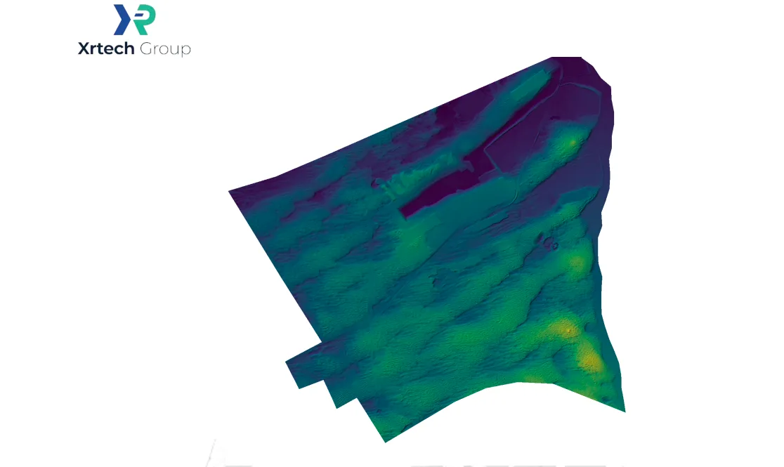
Flood-Ready Planning in Abu Dhabi
Stereo imagery and elevation data supported flood-ready urban planning.

“We received high-resolution satellite imagery 2x faster than Maxar or Airbus vendors.”
Infrastructure Planner, Asia
When timelines are tight, speed makes the difference. XRTech delivers.

“Others said 3 weeks. XRTech delivered high resolution satellite imagery in 4 days, as was needed.”
National Mapping Lead, Africa
Fast, dependable delivery helped this team meet critical project milestones.

“Clear licensing, human support, and fast turnaround, finally.”
NGO Partner, MENA
Our transparent process and responsive team mean fewer delays and smoother execution.
FAQ
Real-Time Satellite Imagery: Your Questions Answered
Is there a live satellite view of Earth?
Not as continuous video. Live satellite views show the most recent still images, refreshed every 5 to 10 minutes by weather satellites and about once a day by high-resolution satellites. XRTech Group's emergency tasking delivers a high-resolution image within 24 hours of the satellite pass, the closest commercial option to live.
What is near real-time satellite imagery?
Near real-time satellite imagery is imagery delivered minutes to hours after a satellite captures it, rather than days or weeks later. For weather and Earth science missions that means within about 3 hours; for high-resolution commercial tasking it usually means delivery within 24 hours of capture.
Do live satellite images show current ground conditions instantly?
No. Every satellite image is a snapshot from the moment of capture, followed by downlink and processing, so always check the capture date and time on a live map. For a time-critical site, emergency tasking gives you an image captured after you order.
How is real-time satellite imagery different from Google Earth?
Google Earth and Google Maps show stitched mosaics that are often months to years old, and you cannot order a capture date. With XRTech Group you choose the image: search the latest archive scenes over your area or task a satellite for a new 25cm to 80cm capture.
Can I see a real-time satellite image of my house?
Not live, but you can get a recent one. Draw your property in the satellite imagery portal and order the newest archive image, or task a new capture. The minimum archive order is 25 km², so your house and its surroundings are included, from $25 at 2m or $500 at 30cm.
How fast can I get a new satellite image?
With emergency tasking, XRTech Group tasks a satellite immediately and delivers the image within 24 hours of capture. Priority tasking captures in 3 to 5 days and standard tasking within 7 days. Recent archive images are delivered within 48 hours of approval.
Which satellites and data sources does XRTech Group provide?
130+ optical and radar satellites from multiple leading providers, including SuperView Neo-1 (25cm to 30cm), Beijing-3B (30cm), SuperView-2 (42cm), SuperView-1, SuperView Neo-3 and Beijing-3A (50cm), GF-7, GF-2 and TripleSat (65cm to 80cm), GF-1, GF-6 and ZY-3 (2m), and radar satellites such as GF-3 and LT-1.
Is there a free plan or a subscription?
There is no subscription and no contract. Searching the portal is free with no login, free samples are available, and you pay only per km² for the imagery you order. For free medium-resolution data, Sentinel-2 and Landsat imagery costs nothing.
What spatial resolutions are available?
Optical imagery from 25cm to 2m per pixel, 15cm HD imagery, and SAR from about 1m. For comparison, free satellites such as Sentinel-2 and Landsat capture 10m to 30m pixels, and weather satellites 0.5km to 2km.
Can I get SAR (radar) imagery for cloudy areas or at night?
Yes. SAR satellites see through cloud, smoke and darkness, so they give the most reliable near real-time coverage in bad weather. XRTech Group supplies SAR imagery from GF-3, LT-1 and other radar satellites; see our SAR satellite imagery page for modes and pricing.
Do you offer stereo imagery and digital elevation models?
Yes. Stereo and tri-stereo captures are available at 2× and 3× the mono price, and we produce DEMs, DSMs and DTMs at 2m to 10m spacing for terrain, flood and engineering work.
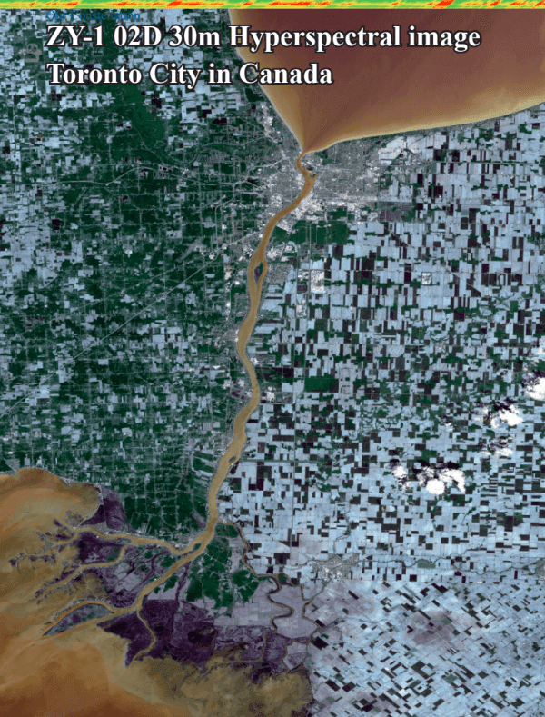
Is hyperspectral satellite imagery available?
Yes, on request. Hyperspectral imagery is available through our provider network for mineral mapping, water quality and vegetation analysis. Send us your area and use case for a quote.
Reviewed by Mustafa Jawaad, General Manager, XRTech Group. Delivery times are typical values; confirm the timeline for your area when you order.
Worldwide coverage
Get a Near Real-Time Satellite Image of Your Site
Draw your area in XRTech Group's satellite imagery portal to see the newest captures and an indicative price, or send us your site for a free quote and sample. We respond within 1.5 hours.