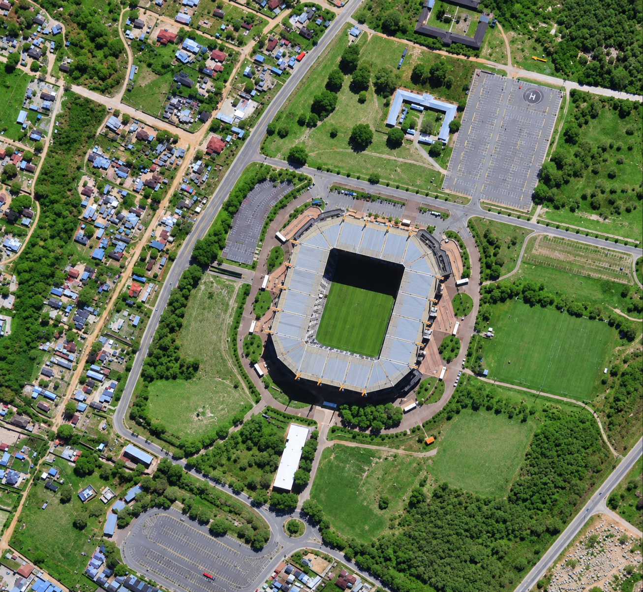
Satellite imagery of a football stadium in South Africa at 50cm, surrounded by parkland, car parks and housing.
This satellite view of Stadium, South Africa was captured from orbit, not by plane or drone. Click the aerial view to open it full size.
The stadium bowl and its green pitch sit in a large park with paths, trees and open lawns. Car parks, roads and housing surround the site.
Venues are mapped at 50cm for event planning, traffic studies and facility management.
Venue operators and planners use 50cm satellite imagery for event planning and site mapping.
Need satellite imagery of your own site with the same level of detail? Buy high resolution satellite imagery of any area, or search the archive yourself in the XRTech satellite imagery portal.
Order archive images or new tasking, from 15cm HD and 30cm optical to all-weather SAR, delivered worldwide as GeoTIFF. Tell us your area and we send available images and a price, usually within 24 hours.
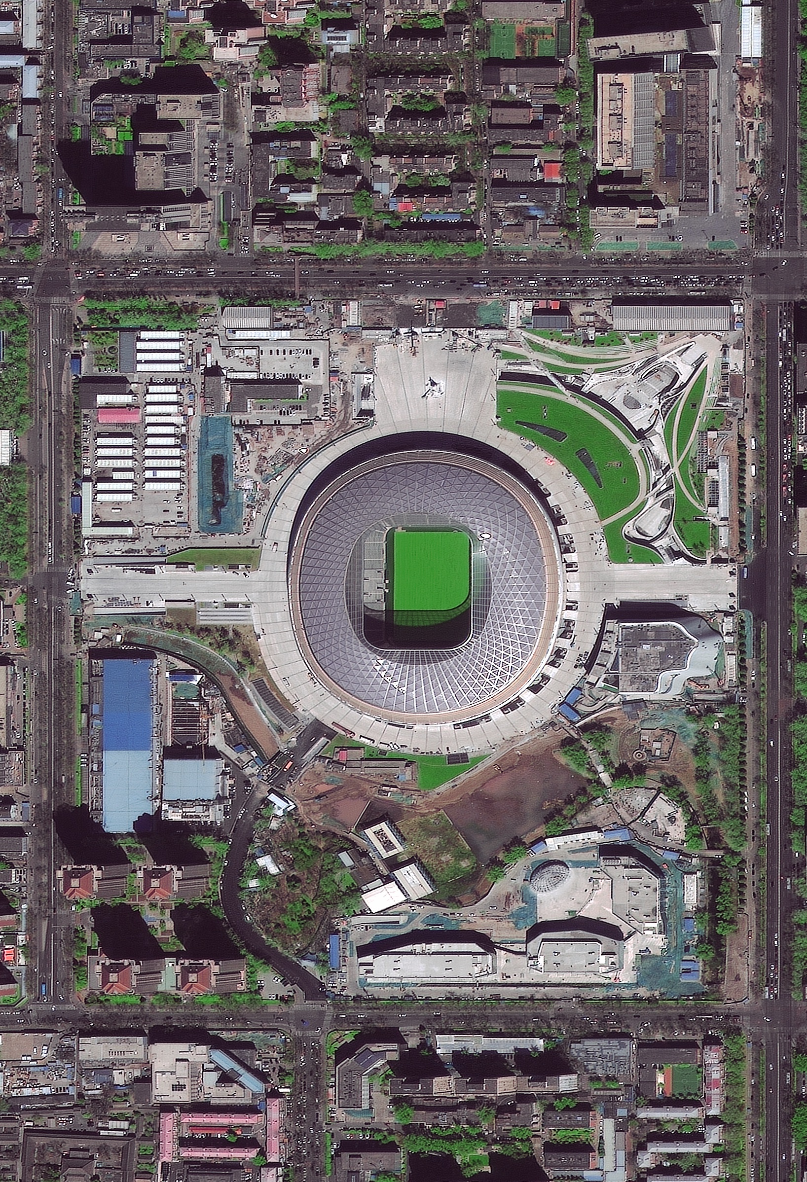
Optical · Sub-metre · Beijing, China
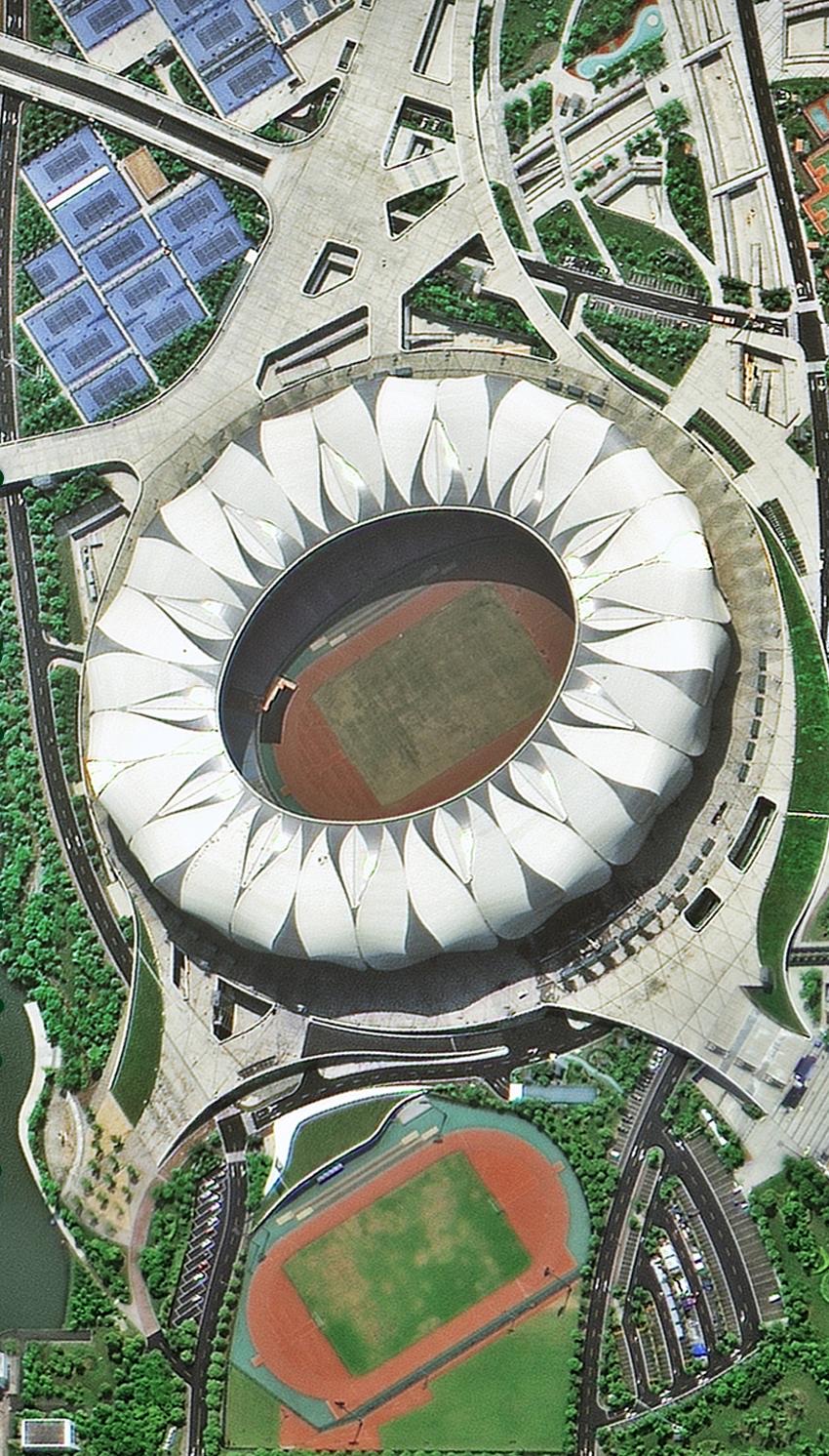
Optical · Sub-metre · Hangzhou, China
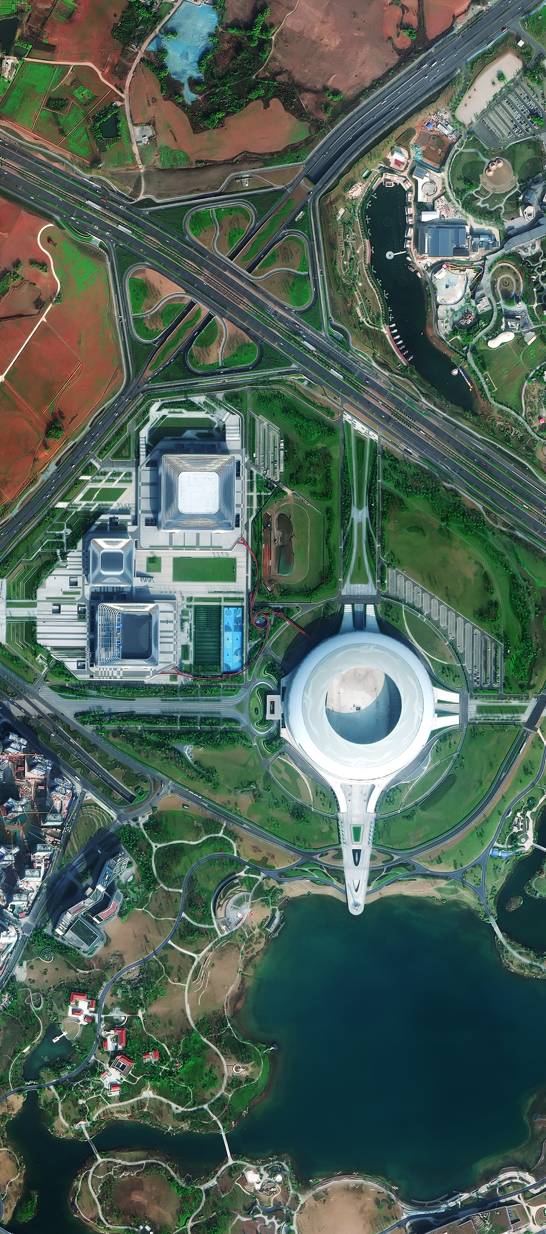
Optical · Sub-metre · Chengdu, China
Back to the satellite image gallery