

Property intelligence from above
High-Resolution Satellite Imagery for Real Estate
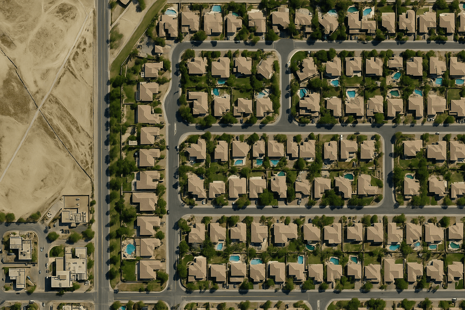
Up-to-date 30cm satellite imagery for developers, investors, land departments and municipalities. Check sites, verify property boundaries, track construction and detect illegal buildings anywhere in the world, without waiting for a site visit.
30cm
Native optical resolution
15cm HD
Enhanced detail on request
Daily
Revisit for change monitoring
24h
Quote response
Why it matters
See Every Property Before You Commit
Property decisions depend on what is actually on the ground: plot boundaries, access roads, neighbouring development, flood exposure and whether anything has been built without approval. Site visits are slow and costly, and online map views are often months or years out of date.
XRTech Group supplies fresh, high-resolution satellite imagery for real estate from a large constellation of optical, stereo and radar satellites. You can order recent archive scenes within hours or task a satellite to capture your site, then compare dates to see exactly what has changed.
Buy 30cm Satellite Imagery →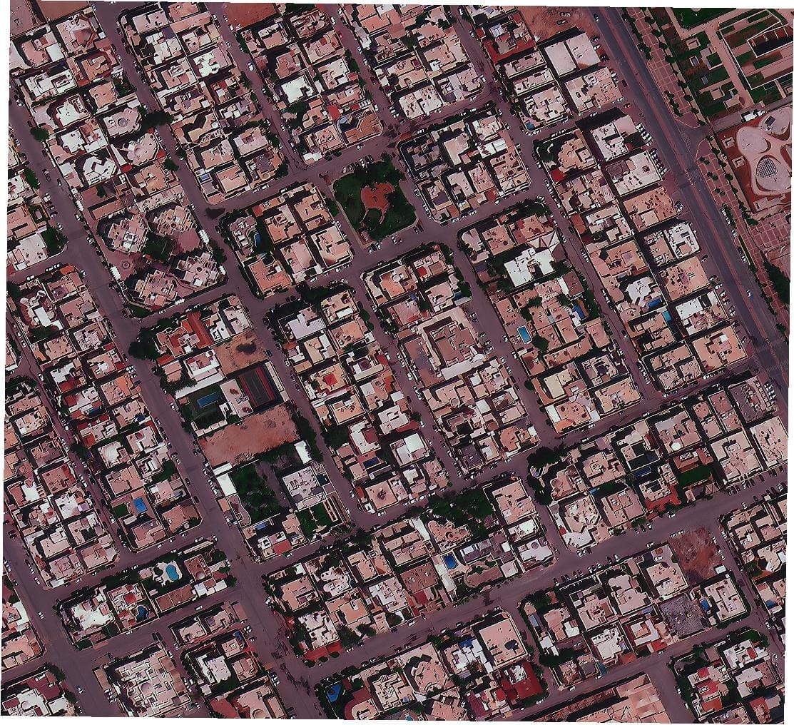
Riyadh at 50cm: every building footprint, street and open plot is visible
Applications
How Real Estate Teams Use Satellite Imagery
From the first site search to handover and long-term asset management, satellite data gives every stage of a property project an objective, dated view from above.
Site Selection and Land Acquisition
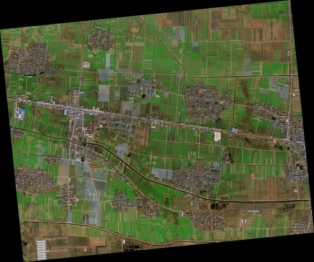
Screen land parcels for size, access, terrain, surrounding land use and nearby infrastructure before paying for surveys or visits.
Property Boundaries and Encroachment
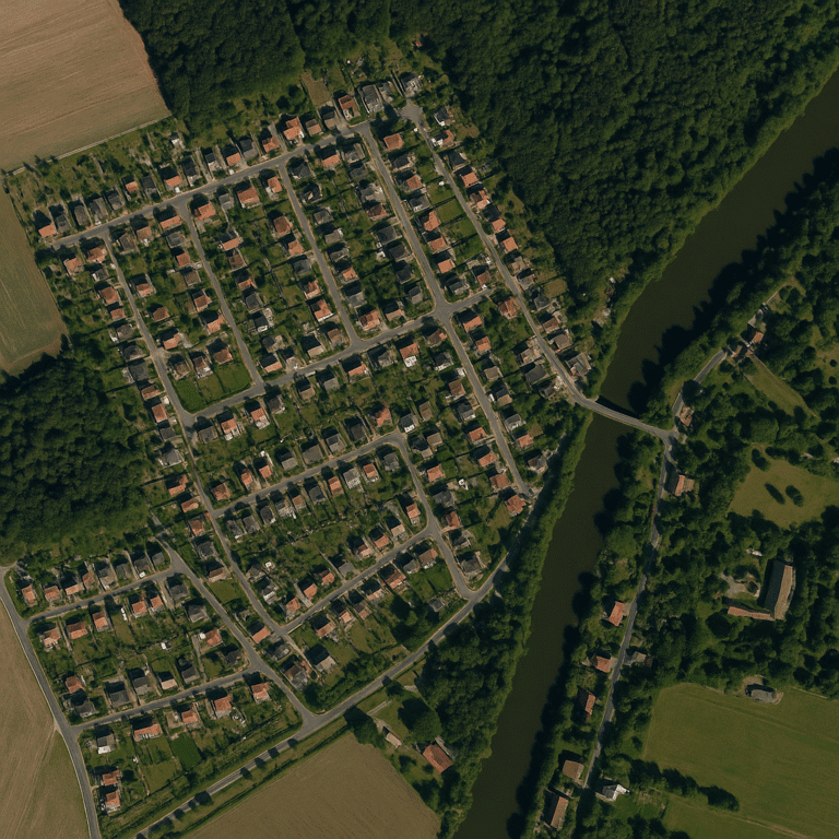
Overlay cadastral plots on current imagery to verify property lines, spot fences or structures crossing a boundary, and settle disputes with dated evidence.

Construction Progress Monitoring
Track foundations, structures and phases on a fixed schedule, report progress to lenders and buyers, and catch delays early across many sites at once.
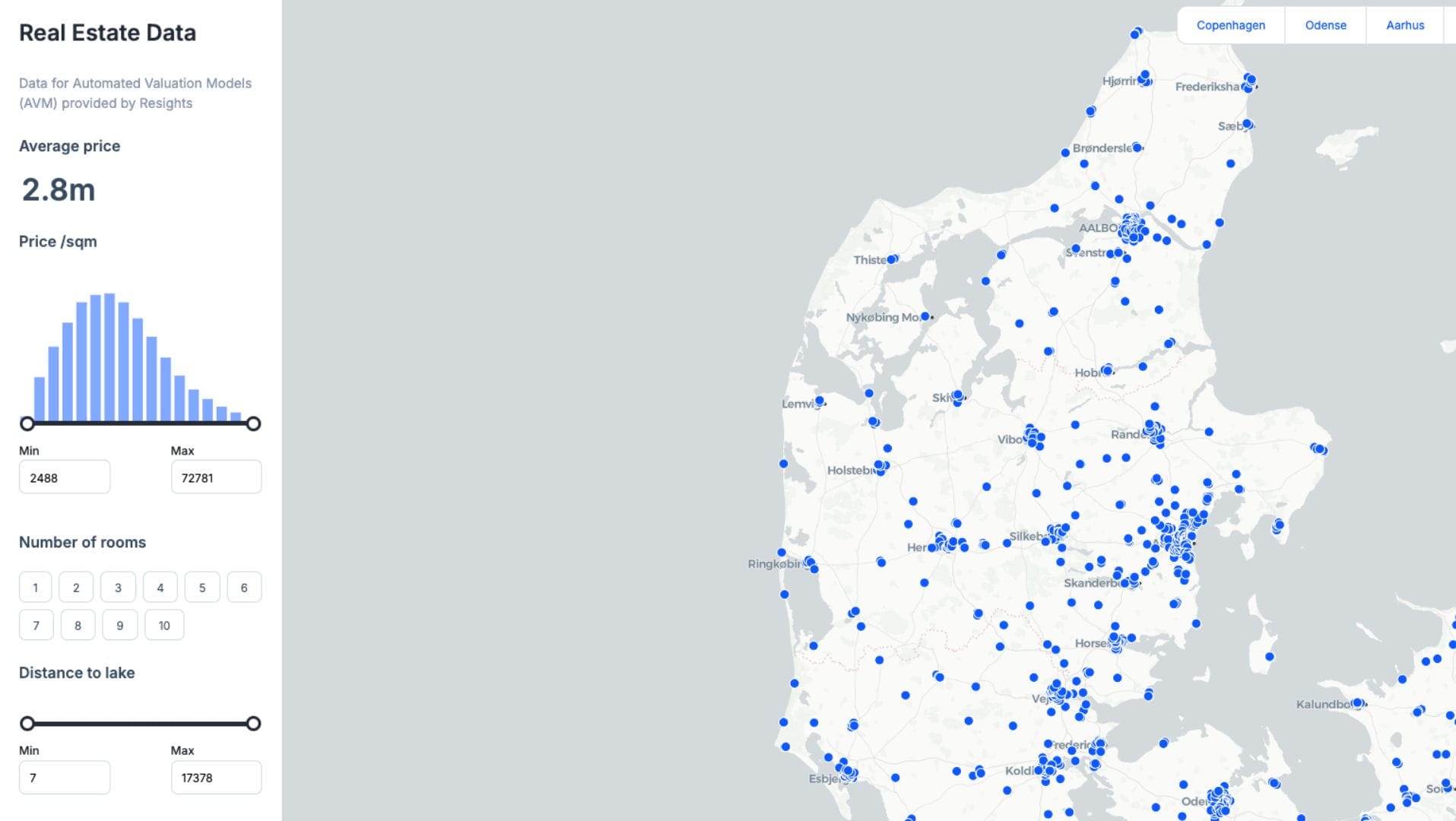
Due Diligence and Valuation
Check what really exists on a property, its condition and neighbourhood context, and feed building counts and land use into valuation and market models.
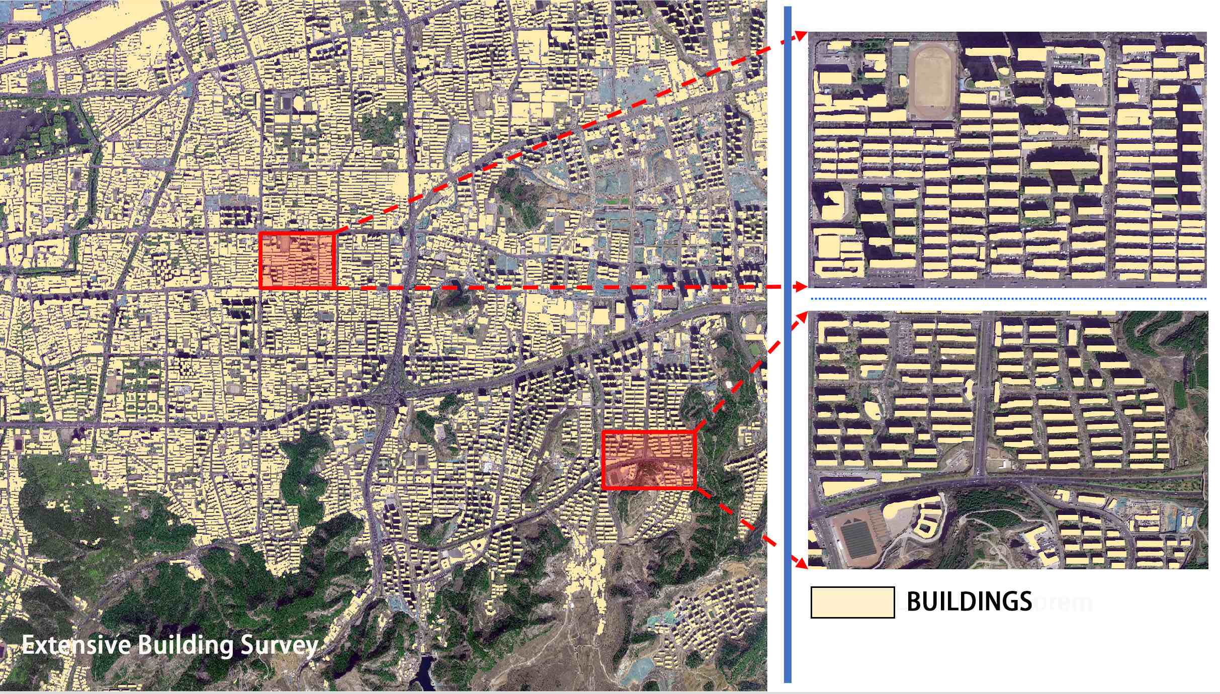
Building Surveys and Asset Inventory
Extract building footprints, rooftops and land cover across whole districts to build or update property registers, tax rolls and portfolio inventories.
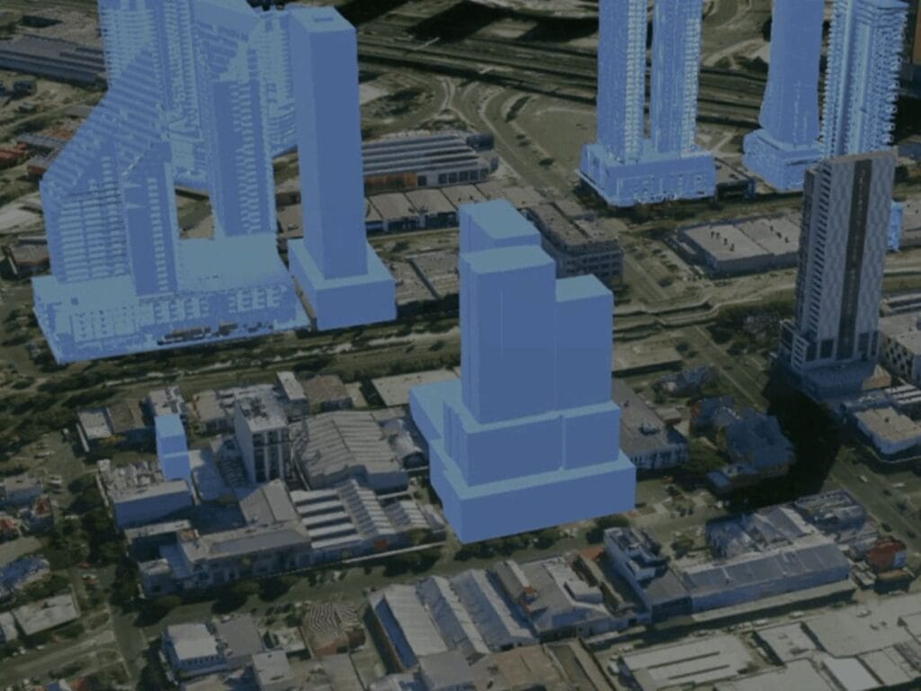
3D Models and Marketing Visuals
Turn stereo imagery into 3D city models and digital twins for master plans, view and shadow studies, and aerial visuals for sales material.
Compliance monitoring
Illegal Building Detection and Construction Monitoring
Unauthorised construction, land grabs and encroachment on public or protected land are costly to find by field survey alone. Satellite change detection shows every new structure across a whole city or land bank, dated and ready for enforcement.
01
Capture a Baseline
We supply a recent high-resolution image of your area, or pull archive imagery to show what stood there at an earlier date.
02
Revisit on a Schedule
New images are captured monthly, quarterly or on demand, so no new roof, extension or earthworks goes unnoticed for long.
03
Detect Changes Automatically
AI-assisted change detection compares dates and flags new buildings, demolitions, extensions and land clearing as map polygons.
04
Check Against Permits
Flagged changes are overlaid on cadastral plots, zoning and building permits, so only unpermitted or out-of-plan structures go to inspectors.
05
Deliver Evidence Packs
Before and after images, coordinates, footprint areas and capture dates are packaged for notices, legal cases and audit trails.
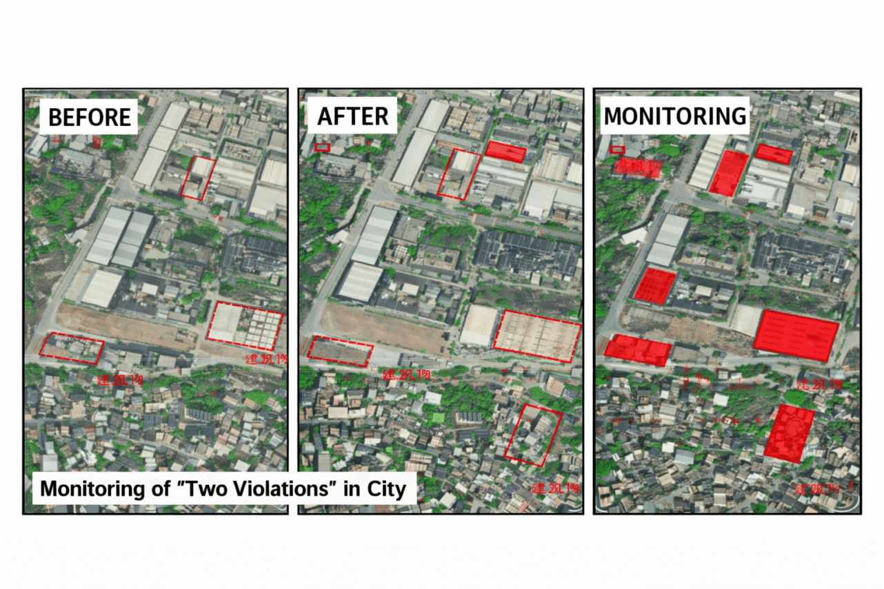
Before, after and monitoring views: new unpermitted structures are outlined in red for inspection
Who we help
Built for Every Side of the Property Market
The same imagery answers different questions depending on who is asking.
01
Municipalities and Land Departments
Detect unauthorised construction, update building registers and property tax rolls, and monitor urban growth against the master plan.
02
Developers and Contractors
Select sites, plan layouts on accurate orthophotos and elevation data, and document construction progress for every phase.
03
Investors, Banks and Lenders
Verify that collateral exists and matches the file, confirm progress before releasing funds, and watch portfolios remotely.
04
Brokers, Valuers and Property Managers
Show buyers the true surroundings, support valuations with current imagery, and check estates for encroachment or damage.
Imagery and data products
Satellite Data for Property Projects
Choose the resolution and product that fits the question, from a single plot check to a city-wide building survey.
01
Very High-Resolution Optical
SuperView Neo-1 at 0.3m, SuperView-2 at 0.4m and SuperView-1 at 0.5m, with 15cm HD enhancement for fine detail on buildings and plots.
02
Orthophotos and Elevation
Orthorectified maps for accurate measurement, plus DSM and DTM elevation data for grading, drainage and flood checks.
03
Stereo and 3D City Models
Stereo satellite imagery turned into building heights, 3D city models and digital twins for planning and sales.
04
SAR and InSAR
Radar imagery that works through cloud, and InSAR that measures millimetre-scale ground and building subsidence around sites.
Satellite imagery portal
Search, View and Order Satellite Imagery
Use the satellite imagery portal to check archive coverage over any property or district, define your Area of Interest and order archive scenes or new tasking.
1
Search Your Area
Find available imagery over the plot, project or neighbourhood you need.
2
Draw or Upload KML
Define the Area of Interest by drawing it on the map or uploading a KML file.
3
Order Imagery
Choose available archive imagery or request new tasking, then complete the order in the portal.
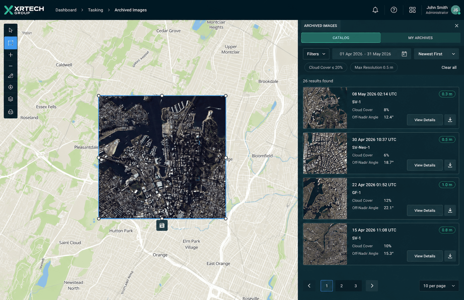
Archive search view in the XRTech satellite imagery portal
Pricing
Clear Pricing for Archive and New Tasking
Simple pricing for real estate satellite imagery, sized to your plot, project or city, with no hidden fees. Monitoring programmes and 3D products are quoted per project.
High Resolution
51 to 80cm resolution, up to 4 bands
Archive image (older than 90 days)
USD 5 /km², minimum 25 km²
New tasking image (freshly captured)
USD 8 /km², minimum 100 km²
Very High Resolution
31 to 50cm resolution, up to 4 or 8 bands*
Archive image (older than 90 days)
USD 13 /km², minimum 25 km²
New tasking image (freshly captured)
USD 20 /km², minimum 100 km²
Super High Resolution
30cm resolution, up to 4 bands
Archive image (older than 90 days)
USD 20 /km², minimum 25 km²
New tasking image (freshly captured)
USD 30 /km², minimum 100 km²
*Band availability may vary depending on satellite source. See full high-resolution satellite imagery pricing for archive and tasking costs.
FAQ
Real Estate Satellite Imagery Questions Answered
Common questions about property imagery, illegal construction monitoring and ordering. Need something specific? Our team replies within 24 hours.
Ask Our Experts →
How is satellite imagery used in real estate?
Developers, investors, valuers and municipalities use high-resolution satellite imagery for site selection, due diligence, property boundary checks, construction progress monitoring, valuation support, building surveys and detecting illegal construction.
How can satellites detect illegal buildings?
Images of the same area from different dates are compared with change detection. New roofs, extensions and cleared land are flagged, then checked against cadastral plots and building permits so inspectors only visit structures that are not approved.
Can I get a recent satellite image of my property?
Yes. We can search the archive for the latest clear image of your property, or task a satellite to capture a fresh one. Free map apps often show imagery that is months or years old; ordered imagery comes with an exact capture date.
What resolution do I need to see buildings clearly?
At 50cm you can see individual buildings, plots and roads. At 30cm you can see extensions, rooftop structures, cars and fences, and 15cm HD adds finer detail for boundary and compliance work. For city-wide surveys, 50cm to 80cm is often the most cost-effective.
How often can a property or city be monitored?
The SuperView Neo constellation can revisit most locations daily, so monitoring can run monthly, quarterly or on demand, depending on how quickly you need to catch changes and on weather.
Can satellite imagery settle a property boundary dispute?
Dated, georeferenced imagery is strong supporting evidence of where fences, walls and buildings stood at a given time. Legal boundaries still come from surveys and title records, so imagery works best alongside them.
Do you provide 3D models and elevation data?
Yes. From stereo satellite imagery we produce DSM and DTM elevation data, building heights, 3D city models and digital twins for master planning, view studies and marketing.
How much does satellite imagery for real estate cost?
Archive imagery starts at USD 5 per km² and new tasking at USD 8 per km², depending on resolution, with minimum order areas. Monitoring programmes and analytics such as change detection are quoted per project.
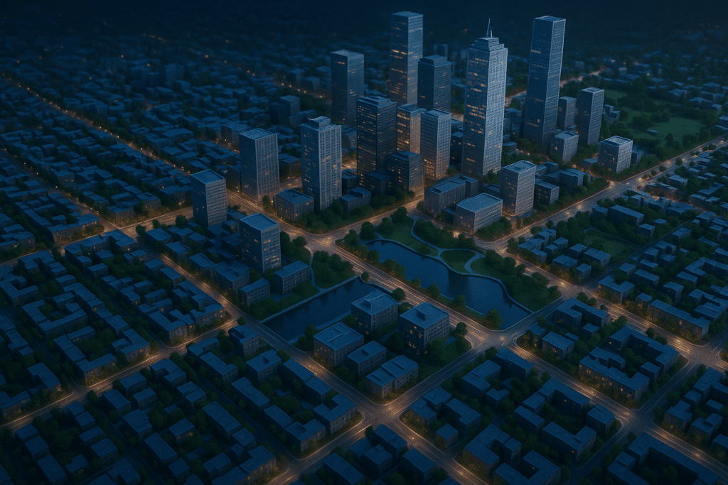
Get started
Make Better Property Decisions with Satellite Imagery
Tell us your area of interest and what you need to check. We respond in under 24 hours, and free satellite imagery samples can be included with your quote.