There are more satellites in orbit right now than at any point in human history. At the end of 2024, a total of 11,539 satellites were operating in Earth orbit, compared with just 3,371 in 2020. That growth has changed everything about how organizations access Earth observation data, monitor assets and make decisions.
But with so many satellites, providers, sensor types and resolution classes to navigate, choosing the right data for your project is harder than ever. This guide covers every major commercial satellite constellation and Earth observation provider. It explains what each one does, what it captures and where you can buy the data.
What Is a Satellite and What Does It Do?

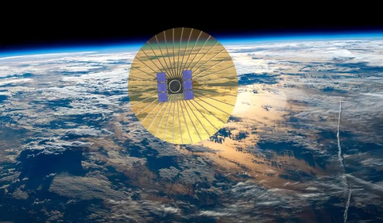
A satellite is an object placed in orbit around the Earth to perform a specific function. Modern Earth observation satellites are sensor platforms — machines carrying cameras, radar systems, spectrometers or radio frequency detectors that record information about the Earth’s surface and transmit it back to ground stations.
The first satellite, Sputnik 1, launched October 4, 1957. It weighed 184 pounds and did nothing more than transmit a radio signal. Today, the finest commercial optical satellites resolve ground features as small as 25 centimeters from 500 kilometers above the Earth.
Satellites serve five main purposes: communications, Earth observation, navigation, weather monitoring and science. This guide focuses on Earth observation satellites — the ones that capture images and data about the planet’s surface.
How Many Satellites Are in Orbit?
By the end of 2025, a total of 14,200 satellites were operating in Earth orbit. During 2025, a record number of 324 launches deployed over 3,500 satellites. The overall global space economy generated revenue of $470 billion. ESA estimates approximately 100,000 satellites will be in orbit by 2030.
Around 1,100 of the current active satellites are dedicated to commercial remote sensing. Operating satellites are registered in over 105 countries or multinational organizations.
Types of Satellite Orbits
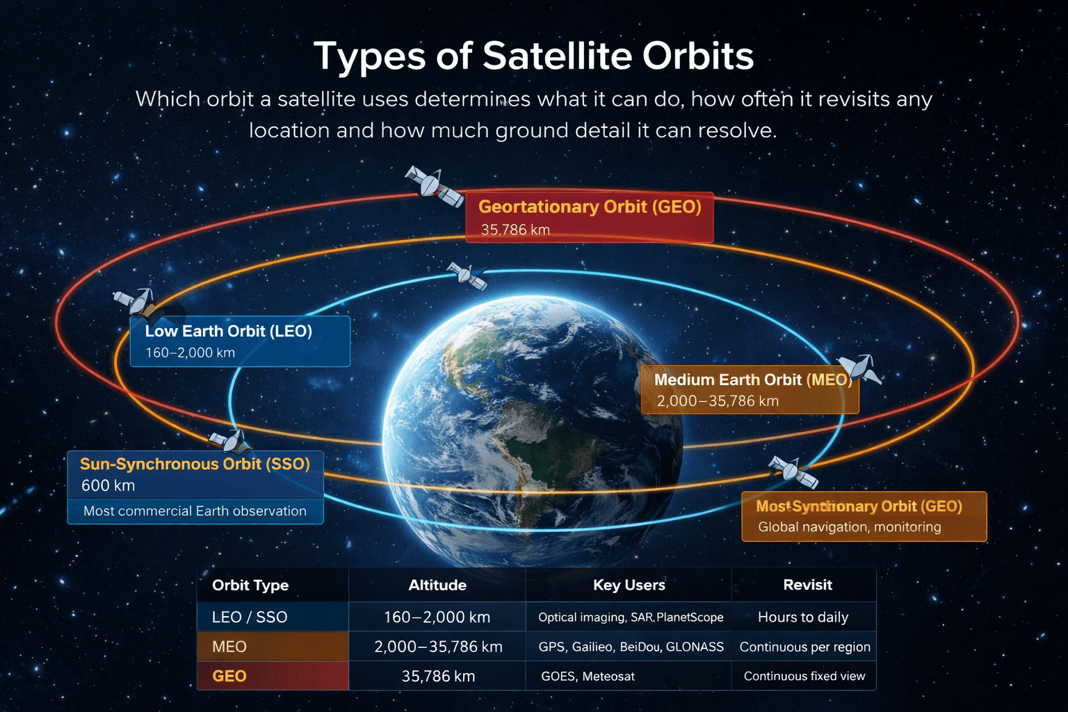
Which orbit a satellite uses determines what it can do, how often it revisits any location and how much ground detail it can resolve.
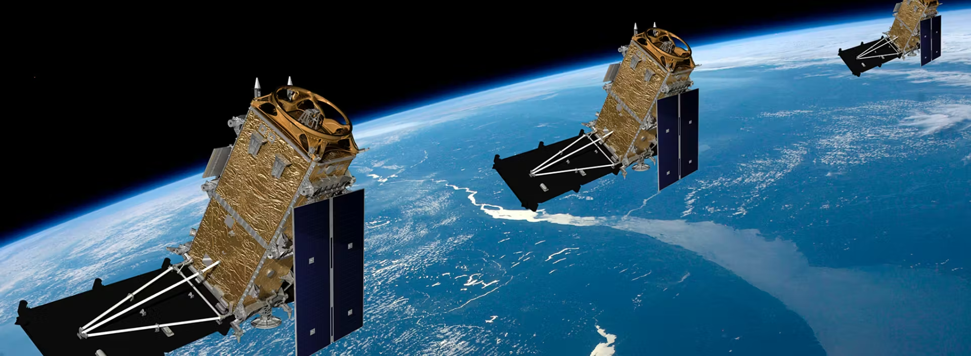
- Low Earth Orbit (LEO) sits between 160km and 2,000km altitude. Most commercial Earth observation satellites operate here. At 500km to 600km, a satellite completes roughly 15 orbits per day.
- Sun-Synchronous Orbit (SSO) is a special type of LEO where the satellite crosses the equator at the same local time each day. This ensures consistent lighting in every image for change detection and long-term monitoring. Most commercial optical satellites use SSO.
- Medium Earth Orbit (MEO) sits between 2,000km and 35,786km. Navigation systems like GPS, Galileo, GLONASS and BeiDou operate here.
- Geostationary Orbit (GEO) sits at 35,786km, where a satellite appears stationary from the ground. Weather satellites like GOES and Meteosat use GEO for continuous regional monitoring.
Satellite Sensor Types
- Optical Imaging captures reflected sunlight. The output looks like a photograph. Clear, colour-rich and easy to interpret — but cannot see through clouds.
- Synthetic Aperture Radar (SAR) sends radar pulses toward the surface and records the energy that bounces back. Works through cloud cover, smoke, haze and complete darkness.
- Hyperspectral Imaging captures 150 to 400+ individual spectral bands simultaneously. Identifies specific minerals, gases, plant health conditions and materials invisible to standard cameras.
- Multispectral Imaging captures 4 to 16 specific spectral bands including near-infrared. Used in most commercial optical satellites for NDVI, crop health and water mapping.
- Radio Frequency (RF) Detection identifies and geolocates radio signals emitted by ships and infrastructure. Detects vessels that have switched off their AIS transponders.
Optical Imaging Satellites — Very High Resolution (25cm–50cm)
These are the finest commercial optical satellites available. Each pixel represents half a metre or less on the ground.
SuperView Neo-1 (China Siwei / SpaceWill) — 25cm to 30cm
The SuperView Neo-1 constellation is now the most capable commercially available optical imaging system for buyers outside of US export control restrictions. The original Neo-1 01 and 02 launched April 29, 2022 with 30cm panchromatic resolution. On February 27, 2025, Neo-1 03 and 04 launched with an upgraded 25cm native panchromatic sensor — the finest commercially available optical resolution today. The full planned constellation covers 28 satellites across three series. The constellation now captures 5.8 million square kilometres per day.
XRTech Group is the authorised regional reseller for China Siwei across the Middle East, Africa and Asia with no US export licence restrictions. Archive from $20/km² delivered in 48 hours.
Specs: 25–30cm PAN · 1–1.2m MS · 4 bands · 12km swath · 3.5m CE90 · SSO at 495–508km · NIIRS 6.0
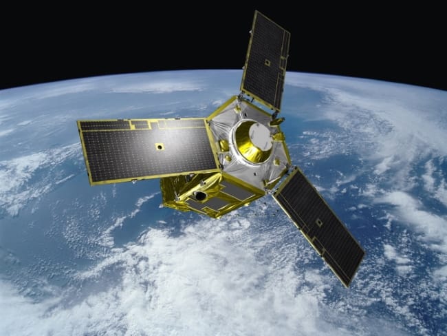
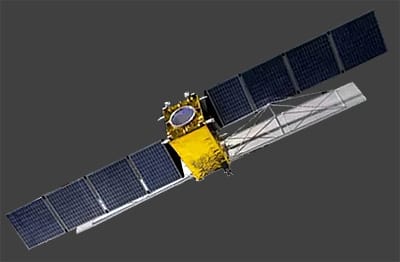
WorldView-3 and WorldView-4 (Maxar / Vantor) — 31cm
WorldView-3 launched August 13, 2014 and carries 16 spectral bands including 8 shortwave infrared (SWIR) bands unique in the commercial sector. The SWIR capability enables mineral mapping, camouflage detection and material classification not possible with standard optical sensors. WorldView-4 launched November 2016 with 31cm optical and 4-band multispectral capability but suffered a hardware failure in 2019. Maxar rebranded as Vantor in October 2025. All data is subject to US ITAR and EAR export controls.
Specs WorldView-3: 31cm PAN · 1.24m MS · 16 bands including 8 SWIR · 13.1km swath · SSO at 617km
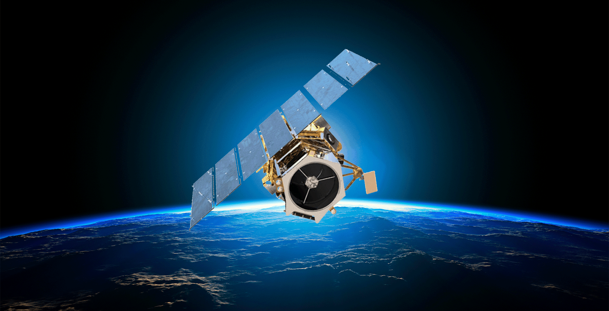
WorldView Legion (Maxar / Vantor) — 29cm

WorldView Legion is the next-generation Maxar constellation. The first two satellites launched May 2024 via SpaceX. The full six-satellite constellation will deliver up to 15 revisits per day over target areas at 29cm resolution — more coverage per day than any previous Maxar system. Subject to US export controls.
Specs: 29cm PAN · 9 spectral bands · Up to 15 revisits/day · less than 1.5m RMSE
Pléiades Neo (Airbus Intelligence) — 30cm
Pléiades Neo 3 and 4 launched in 2021 and 2022. They carry 30cm native panchromatic sensors with 4-band multispectral and intraday revisit capability anywhere on Earth. Entirely funded, designed, manufactured and operated by Airbus. Europe’s most capable commercial optical system. Some export restrictions apply for certain end users.
Specs: 30cm PAN · 1.2m MS · 4 bands · 14km swath · 3.5m CE90 · SSO at 620km
Pléiades 1A and 1B (Airbus Intelligence) — 50cm
Launched 2011 and 2012. Still operational and widely used for urban planning, humanitarian mapping and infrastructure assessment. They operate in conjunction with the SPOT 6/7 satellites for combined intraday revisit.
Specs: 50cm PAN · 2m MS · 4 bands · 20km swath
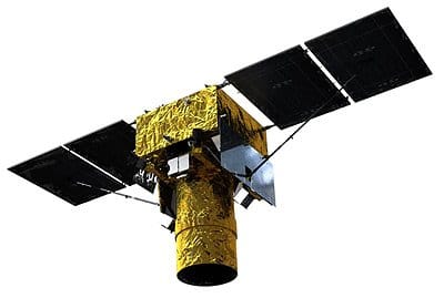
GeoEye-1 (Maxar / Vantor) — 46cm
GeoEye-1 launched September 6, 2008 and powered early Google Maps high-resolution base imagery. Now part of the Vantor constellation. Subject to US export controls.
Specs: 46cm PAN · 1.84m MS · 4 bands · 15.2km swath · SSO at 684km
SkySat (Planet Labs) — 50cm
Planet’s SkySat fleet consists of approximately 15 satellites capable of sub-daily tasking at 50cm ortho resolution. Uniquely supports video capture — up to 120-second panchromatic video clips from orbit — making it useful for monitoring moving vehicles and real-time events. Planet’s next-generation Pelican constellation, with a demo satellite launched November 2023, will replace SkySat over time at 30 to 50cm class resolution. Subject to US export controls.
Specs: 50cm ortho PAN · 2m MS · 4 bands · Sub-daily tasking · Video mode available
SuperView-1 (China Siwei / Beijing Space View) — 50cm

The SuperView-1 constellation consists of four identical agile optical satellites launched in December 2016 and January 2018. China’s first commercial high-resolution constellation delivers reliable daily revisit at 50cm with up to 2 million km² per day across the four-satellite fleet. Available through XRTech Group without US export restrictions. Archive from $14/km².
Specs: 50cm PAN · 2m MS · 4 bands · 12km swath · 9.5m CE90 · SSO at 530km · 4 satellites
Optical Imaging Satellites: High Resolution (50cm–1.5m)
SPOT 6 and SPOT 7 (Airbus Intelligence) — 1.5m
SPOT 6 and 7 provide 1.5m panchromatic and 6m multispectral with a wide 60km swath. Suited to large-area land use mapping, infrastructure planning and agricultural assessment where moderate resolution and wide coverage matter more than fine detail.
Specs: 1.5m PAN · 6m MS · 4 bands · 60km swath · Daily revisit with combined fleet
Jilin-1 (Chang Guang Satellite Technology / CGST) — 72cm
Chang Guang is China’s largest commercial Earth observation company. Its Jilin-1 constellation has grown to over 100 satellites — the largest commercial optical constellation in China. Satellites capture at 72cm to 1m resolution with 4-band multispectral and video capability. With over 30 satellites actively imaging, Jilin-1 achieves 3 to 5 revisits per day over most locations, rising to 37 revisits per day over targeted areas with the full constellation.
Specs: 72cm–1m PAN · 2.88m–4m MS · 4 bands · Up to 37 revisits/day aggregate · SSO
KOMPSAT-3 and KOMPSAT-3A / SpaceEye-T (KARI / SI Imaging Services, South Korea) — 55cm–70cm
The Korean Multi-Purpose Satellite programme delivers high-resolution optical data for government and commercial use. KOMPSAT-3 launched 2012 at 70cm. KOMPSAT-3A launched 2015 at 55cm. SpaceEye-T, a newer 30cm-class satellite from SI Imaging Services, launched 2024, adding South Korea to the VHR optical club alongside Airbus, Maxar and China Siwei.
Specs: 55–70cm PAN (KOMPSAT) · 30cm (SpaceEye-T) · 2.2–2.8m MS · 4 bands
Formosat-8 (TASA, Taiwan) — Sub-1m

Taiwan’s Formosat-8 programme plans a constellation of eight satellites at sub-1m resolution with red-edge and additional spectral bands. The red-edge band at around 717nm is valuable for precision agriculture, distinguishing stressed from healthy crops with greater accuracy than standard RGB or NIR bands.
Specs: Sub-1m to 1m · 4+ bands including red-edge · 8-satellite constellation planned
ResourceSAT / IRS (ISRO, India) — 5m–56m
India’s Earth observation programme through ISRO delivers a wide range of resolutions from 5m to 56m across the ResourceSAT constellation. Primarily used for natural resource management, agricultural assessment and disaster monitoring across South Asia. Available commercially through NRSC.
Specs: 5m–56m · 4 bands · 24-day revisit
Optical Imaging Satellites — Medium Resolution and Daily Global Coverage
PlanetScope / Dove (Planet Labs) — 3–5m

Planet operates the world’s largest optical satellite constellation by number. More than 200 Dove CubeSats orbit in a sun-synchronous constellation imaging the entire landmass of Earth every single day at 3 to 5m resolution. Planet launched 36 more SuperDoves in January 2025, each equipped with 8-band multispectral sensors. PlanetScope is the backbone of global deforestation monitoring, agricultural crop health tracking and large-area change detection worldwide. Subject to US export controls.
Specs: 3–5m · 8 bands (SuperDove) · Daily global coverage · 200+ satellites
RapidEye (Planet Labs) — 5m
Five satellites at 5m resolution with a red-edge spectral band. Primarily used for agriculture, insurance and forestry. The red-edge band makes it effective for early-season crop stress detection and vegetation health monitoring.
Specs: 5m · 5 bands including red-edge · Daily revisit
Sentinel-2A and 2B (ESA / Copernicus) — 10m free

Sentinel-2A and 2B form the backbone of free global Earth observation for agricultural, environmental and land cover applications. Thirteen-band multispectral imagery at 10m, 20m and 60m resolution depending on the band. Five-day combined revisit. Freely available from the Copernicus Data Space.
Specs: 10–60m · 13 bands · 5-day revisit · Free globally
Landsat 8 and 9 (NASA/USGS) — 15–30m free

Landsat 9 launched September 27, 2021. The programme provides the world’s longest continuous land-surface record since 1972. Fifteen-metre panchromatic and 30m multispectral with 11 bands and 16-day revisit. Best for historical change analysis, land cover mapping and climate research. Freely available from USGS EarthExplorer.
Specs: 15m PAN · 30m MS · 11 bands · 16-day revisit · Free
SAR (Synthetic Aperture Radar) Satellites
SAR satellites use radar pulses to image Earth regardless of cloud cover, darkness or weather. They are essential for maritime surveillance, flood mapping, infrastructure monitoring and any application where optical data is blocked by environmental conditions.
ICEYE (Finland / United States) — 16cm to 1m

ICEYE operates the world’s largest commercial SAR constellation. By late 2025, the company had launched over 60 satellites. In November 2025, ICEYE X58 through X62 launched aboard SpaceX Transporter 15, including one of ICEYE’s first Gen4 platforms with resolutions as fine as 16cm. The constellation provides X-band SAR imaging through cloud, rain and darkness with multiple daily revisits over priority areas. Key applications include flood mapping for insurance and disaster response, persistent defense surveillance, maritime vessel tracking and infrastructure change detection.
Specs: X-band · 16cm spotlight to 1m stripmap · 70+ satellites · Sub-daily revisit · All-weather*
Umbra Lab (United States) — 16cm to 25cm
Umbra operates one of the highest-resolution commercial SAR constellations with a fully automated ordering and delivery platform. Its X-band satellites capture at 16cm spotlight resolution. Umbra also operates an Open Data Program making SAR imagery of select locations freely available. Subject to US export controls.
Specs: X-band · 16–25cm spotlight · 10+ satellites · Automated rapid delivery*
Capella Space (United States) — 25cm

Capella operates an X-band SAR constellation with 25cm spotlight resolution. Its Acadia-generation satellites, first launching April 2024, deliver increased resolution, quality and bandwidth with reduced data delivery latency through a fully automated platform. Subject to US export controls.
Specs: X-band · 25cm spotlight · 10+ satellites · Fast automated delivery*
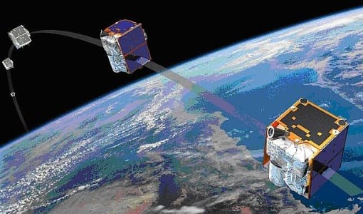
TerraSAR-X and TanDEM-X (DLR / Airbus, Germany) — 25cm to 1m

TerraSAR-X and TanDEM-X form a two-satellite X-band SAR system operated by DLR in cooperation with Airbus. TanDEM-X flew in close formation with TerraSAR-X to produce the WorldDEM — the most accurate global digital elevation model ever created, with 12m horizontal resolution and 2m vertical accuracy.
Specs: X-band · 25cm spotlight · 1m stripmap · 2 satellites · WorldDEM generation*
RADARSAT Constellation Mission (Canada / MDA / CSA) — 1–3m
The RADARSAT Constellation consists of three C-band SAR satellites launched June 2019. Canada has operated RADARSAT satellites since 1995 for Arctic ice monitoring, maritime surveillance and disaster response. The constellation provides daily coverage of Canada and near-daily global coverage. MDA received a $47 million new investment in December 2025 for next-generation SAR expansion.
Specs: C-band · 1–3m resolution · 3 satellites · Daily Canada · Near-daily global*
COSMO-SkyMed Second Generation (ASI, Italy) — Sub-1m

Italy’s COSMO-SkyMed Second Generation is an X-band SAR dual-use system. CSG-3 launched January 2, 2026 as the third satellite in the second-generation system, bringing sub-1m spotlight capability for environmental monitoring, security and defence.
Specs: X-band · Sub-1m spotlight · 3+ satellites · Civil and military dual-use*
GF-3 Constellation (China / CASC) — 1m to 100m
GF-3 is a versatile C-band SAR satellite with resolutions up to 1 metre. With 12 imaging modes, GF-3 provides stable, high-resolution SAR data for maritime monitoring, disaster assessment and oil spill detection. Its multiple beam modes include spotlight at 1m resolution, fine stripmap at 5–10m, and ScanSAR wide mode covering 500km swaths. Available through XRTech Group with no US export restrictions.
Specs: C-band · 1–100m resolution · 12 imaging modes · Maritime and disaster focus*
LT-1 Constellation (China / CASC) — 3m to 30m

LT-1 is the world’s first L-band SAR constellation dedicated to surface deformation interferometry. The constellation acquires 3m resolution imagery and generates global DEMs with millimetre-level accuracy for landslide monitoring, subsidence detection and earthquake deformation mapping. L-band penetrates vegetation, making it ideal for forested and agricultural areas. Available through XRTech Group.
Specs: L-band · 3–30m resolution · 2 satellites · Millimetre-level deformation accuracy*
Synspective StriX (Japan) — 1–3m

Synspective is a Japanese commercial SAR operator developing its StriX constellation with L-band SAR capability. Designed for persistent monitoring of infrastructure and natural hazards. Japan’s seismic risk makes SAR particularly valuable for domestic disaster monitoring.
Specs: L-band · 1–3m stripmap · Growing constellation*
iQPS QPS-SAR (Japan) — 46cm

iQPS operates Japan’s finest-resolution commercial SAR satellites. The QPS-SAR constellation targets 36 satellites providing hourly revisit. Multiple satellites are in orbit providing 46cm spotlight imagery for infrastructure, maritime and disaster monitoring.
Specs: X-band · 46cm spotlight · Target 36-satellite constellation · Hourly revisit goal*
SuperView Neo-2 (China Siwei) — 0.5m SAR
The SuperView Neo-2 satellites provide X-band SAR radar capability within the China Siwei constellation, complementing the optical Neo-1 satellites for all-weather, day-night collection. Available through XRTech Group on request.
Specs: X-band SAR · 0.5m resolution · Operates alongside optical constellation*
Hyperspectral Satellites Constellation
Hyperspectral sensors capture 150 to 400+ narrow spectral bands, enabling material identification and chemical analysis from space that standard cameras cannot provide.
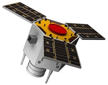
GF-5B (China / CASC) — 30m, 300+ bands

China’s GaoFen-5B carries a hyperspectral imager with over 300 bands for mineral exploration, pollution monitoring and agricultural analysis. Available through the China Siwei distribution network and accessible via XRTech Group with no US export restrictions.
*Specs: 300+ spectral bands · 30m resolution · Mineral exploration and environmental monitoring*
ZY-1 02D / 02E Hyperspectral Satellite (China / CASC) — 30m, 166 bands
The ZY-1 02D and 02E satellites carry advanced hyperspectral cameras covering the visible to shortwave infrared spectrum from 0.4 to 2.5 μm. With 166 spectral bands split across 76 VNIR bands (10nm resolution) and 90 SWIR bands (20nm resolution), these satellites deliver 30m spatial resolution across a 60km swath. Designed for an 8-year mission life, ZY-1 is widely used for land resource mapping, mineral exploration and environmental monitoring. Available through XRTech Group with no US export restrictions.
*Specs: 166 bands (76 VNIR + 90 SWIR) · 30m resolution · 60km swath · 8-year mission life*
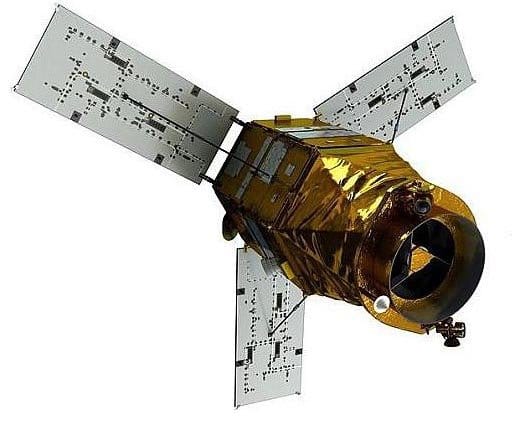
PRISMA (Italian Space Agency / ASI) — 30m, 250+ bands
PRISMA launched March 6, 2019. One of the first dedicated commercial-grade hyperspectral satellites, widely used for mineral mapping, vegetation stress assessment and surface material classification.
*Specs: 250+ spectral bands · 30m resolution · 30km swath · SSO at 615km*
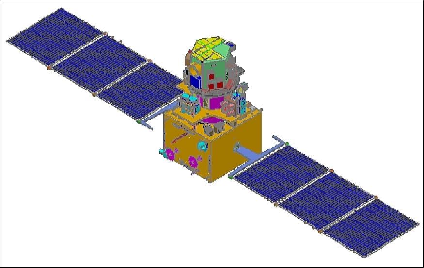
EnMAP (German Aerospace Center / DLR) — 30m, 242 bands

EnMAP launched April 1, 2022 with 242 spectral bands covering visible to shortwave infrared. Optimised for ecosystem analysis, soil mapping and agricultural monitoring. Freely available for scientific users.
Specs: 242 bands (420–2,450nm) · 30m resolution · 30km swath
Pixxel Firefly (India) — 5–10m, 150+ bands

Pixxel is an Indian commercial hyperspectral startup. Its Firefly satellites launched August 2025 — six satellites providing 5m hyperspectral imagery with more than 150 spectral bands. This is the finest commercial hyperspectral resolution available and enables mine site analysis, precision agriculture, environmental compliance and gas leak detection at a detail level not previously possible commercially.
*Specs: 150+ bands · 5–10m resolution · 6 satellites in orbit · Finest commercial hyperspectral*
Tanager (Planet Labs) — 30m, 400+ bands

Planet’s Tanager satellite launched August 2024. Delivers hyperspectral data at 30m with more than 400 spectral bands focused on greenhouse gas detection and methane leak monitoring. Part of the Carbon Mapper programme. Subject to US export controls.
*Specs: 400+ bands · 30m · Greenhouse gas and methane detection*
Sejong 3 (Hancom InSpace, South Korea) — 10–20m, 442 bands
Sejong 3 launched March 2026 as Korea’s first private hyperspectral satellite. It captures 442 wavelength bands for precision agriculture, forestry and defence applications including camouflage detection.
Specs: 442 spectral bands · 10–20m resolution
Orbital Sidekick GHOSt (United States) — SWIR hyperspectral

Orbital Sidekick’s GHOSt satellites carry shortwave infrared hyperspectral sensors specifically designed for oil and gas pipeline monitoring, hydrocarbon leak detection and industrial compliance. The satellite constellation can detect methane and hydrocarbon signatures along pipeline corridors from orbit. Subject to US export controls.
Specs: SWIR hyperspectral · Pipeline monitoring · Hydrocarbon detection

