
Buy Optical Satellite Imagery
XRTech Group sells commercial optical satellite imagery worldwide. Purchase optical imagery from the archive or order a new capture at 30cm to 2m resolution, from $1/km² at 2m and $20/km² at 30cm, with a 25 km² archive minimum. Delivered orthorectified in your projection.
✓Archive delivered within 48 hours, new tasking from $2/km²
✓30cm, 40cm, 50cm, 80cm and 2m from one supplier
✓Natural colour, 4-band and 8-band GeoTIFF
Tasking access to 130+ satellites, worldwide coverage, GIS-ready formats.
$1/km²
Optical archive from 2m, $20/km² at 30cm
25 km²
Archive minimum order, so the smallest order is $25
48 hours
Archive delivery after order approval
130+
Satellites available for tasking, worldwide
Optical pricing
Optical Satellite Imagery Prices: Archive and New Tasking
These are XRTech Group's optical list prices in US dollars per km², the same for any location worldwide. Archive orders start at 25 km² and new tasking at 100 km² with a minimum strip width of 5 km. Standard tasking is captured within 7 days. Volume pricing starts at 250 km².
High Resolution
51cm to 80cm | GF-7, GF-2, TripleSat
Archive image (over 90 days):
USD 5/km² (min. 25 km²)
New tasking image:
USD 8/km² (min. 100 km²)
Stereo at 2× the mono price for elevation models.
Select PackageMost popular
Very High Resolution
31cm to 50cm | SuperView-1, SuperView-2, SuperView Neo-3, Beijing-3A
Archive image (over 90 days):
USD 13/km² (min. 25 km²)
New tasking image:
USD 20/km² (min. 100 km²)
Priority USD 37 · Emergency USD 66 · Stereo USD 40/km²
Select PackageSuper High Resolution
25cm to 30cm | SuperView Neo-1, Beijing-3B
Archive image (over 90 days):
USD 20/km² (min. 25 km²)
New tasking image:
USD 30/km² (min. 100 km²)
Priority USD 45 · Emergency USD 80 · Stereo USD 60/km²
Select PackageStandard Resolution
1m to 2m | GF-1, GF-6, ZY-3
Archive image (over 90 days):
USD 1/km² (min. 25 km²)
New tasking image:
USD 2/km² (min. 100 km²)
Stereo at 2× the mono price. Smallest order USD 25.
Select PackageOptions that change the optical price
Priority tasking: captured in 3 to 5 days, from $37/km² at 50cm and $45/km² at 30cm
Emergency tasking: tasked immediately, $66/km² at 50cm and $80/km² at 30cm
Stereo: stereo pair 2×, tri-stereo 3× the mono price
Cloud cover limit: 10% or less +$8/km², 5% or less +$15/km²
Viewing angle: 15° or less +$3/km², 10° or less +$9/km²
8-band: 50cm PAN with 8 multispectral bands adds 10%
Area: volume pricing from 250 km², confirmed per km² in writing
Choose a resolution
High Resolution Optical Satellite Imagery From 15cm HD to 2m
Pick the cheapest resolution that shows what your project needs. XRTech Group prices every satellite in a tier the same, so the choice is about detail, not brand.
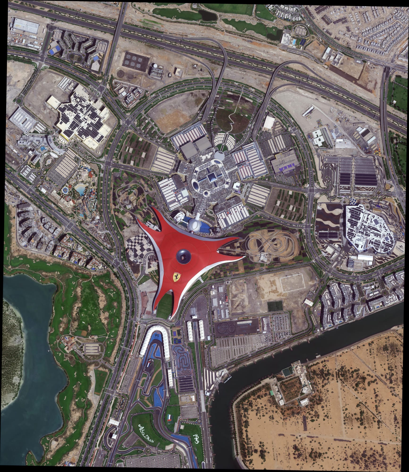
15cm HD optical imagery
Enhanced · priced on quote
Small objects, utility assets and site plans. An enhanced product processed from native very high resolution data, labelled as enhanced, not native.
Best for: engineering detail, small sites
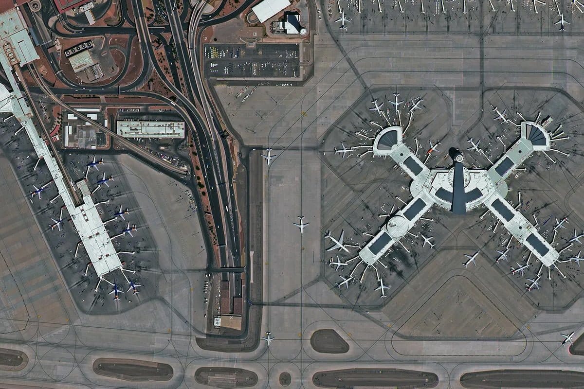
30cm optical imagery
Archive from $20/km²
Cars and trucks by type, lane markings, building outlines and construction stages. The highest native commercial optical tier. 30cm satellite imagery.
Best for: construction, insurance, asset mapping
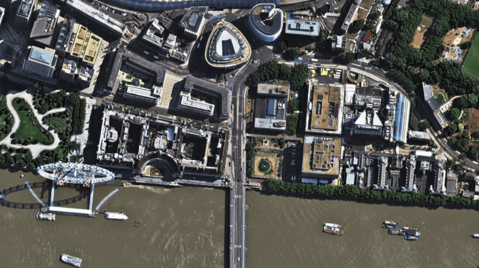
40cm optical imagery
Archive from $13/km²
Native 42cm from SuperView-2 for buildings, roads and parked vehicles, priced in the 50cm tier. 40cm satellite imagery.
Best for: urban mapping, infrastructure
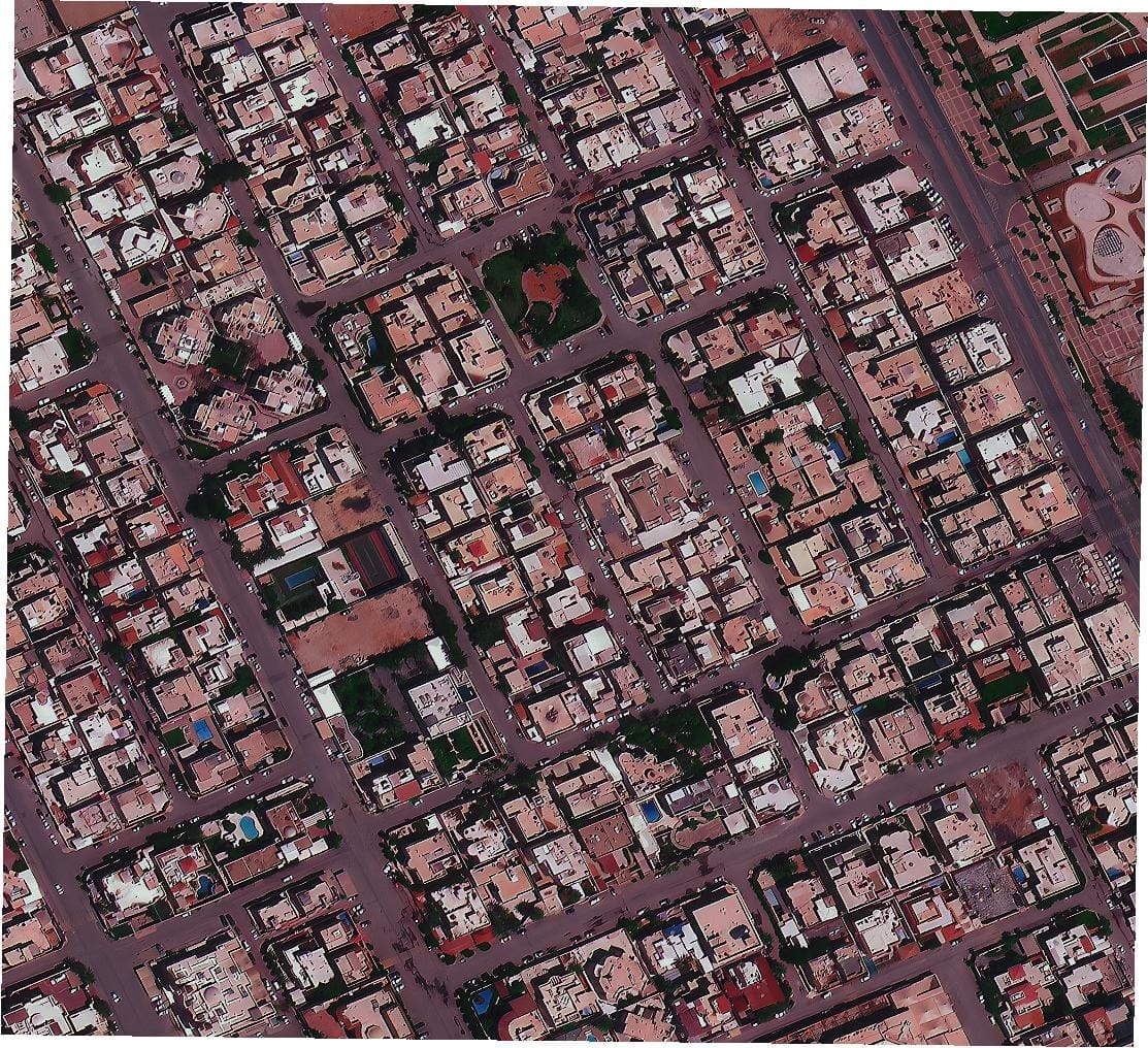
50cm optical imagery
Archive from $13/km²
Individual buildings, road networks, vehicles and field boundaries, with the widest choice of satellites. 50cm satellite imagery.
Best for: city and regional mapping, mining
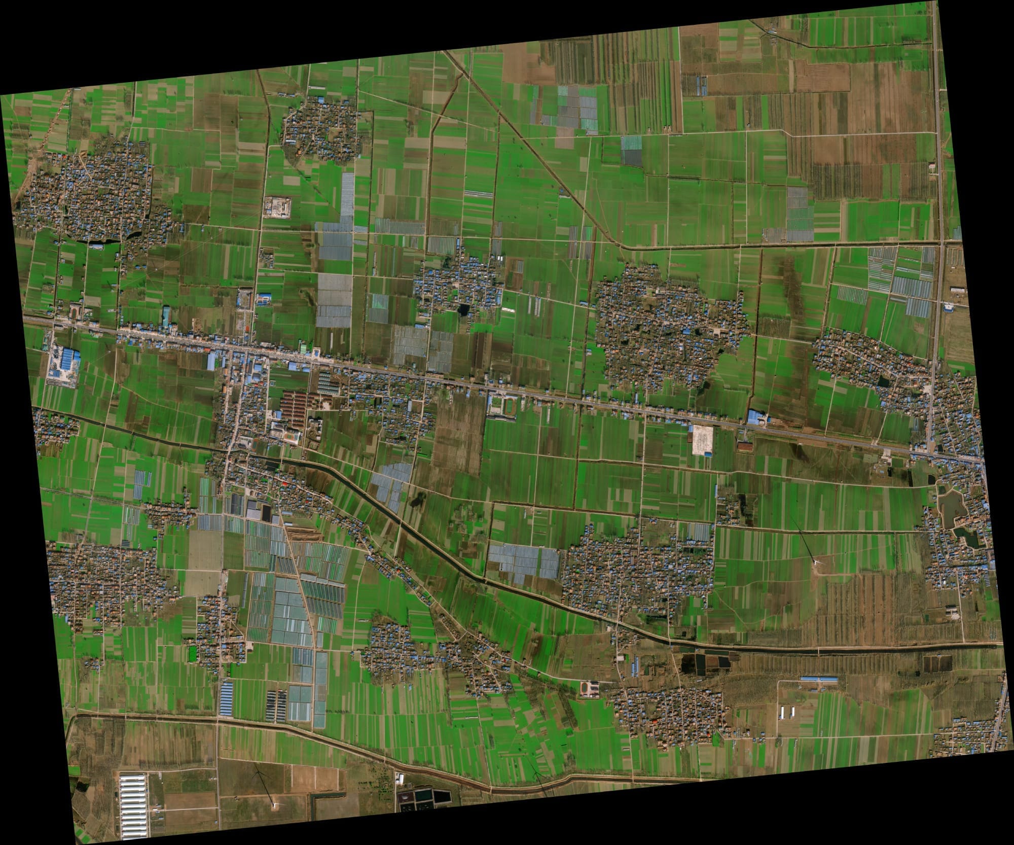
80cm optical imagery
Archive from $5/km²
Building blocks, roads, tree cover and large structures over provinces and long corridors. 80cm satellite imagery.
Best for: land use, forestry, pipelines
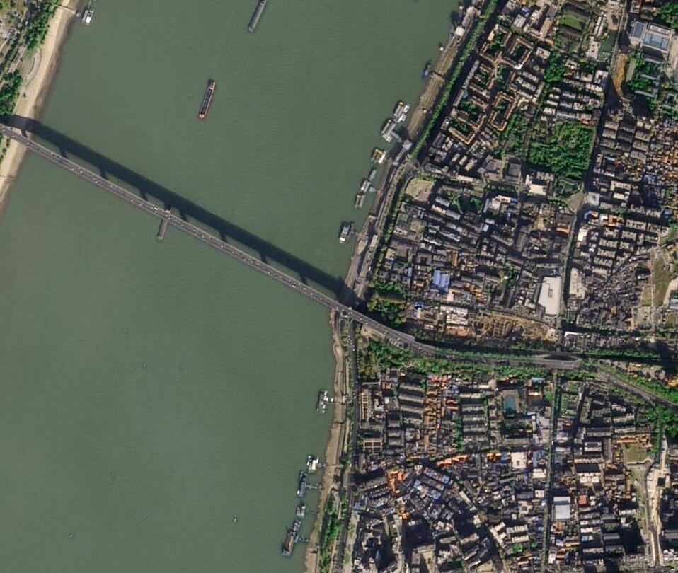
2m optical imagery
Archive from $1/km²
Fields, coastlines, urban extent and land cover for regional and national studies, at the lowest cost per km².
Best for: agriculture, national land cover
Optical data
Optical Satellite Data: Bands, Formats and Accuracy
Every order is electro optical data from passive sensors that record reflected sunlight, delivered ready for GIS. You choose the bands, processing level and projection, and every scene is checked for cloud, haze and geometry before delivery.
✓Bands: panchromatic, natural colour, 4-band with near infrared, 8-band on SuperView Neo-3
✓Processing: basic, pan-sharpened or orthorectified
✓Accuracy: 3.5m CE90 at 30cm without ground control
✓Formats: GeoTIFF, JPEG2000 and KMZ
✓Projection: WGS84, your UTM zone or local datum
✓Cloud and off-nadir limits set per order
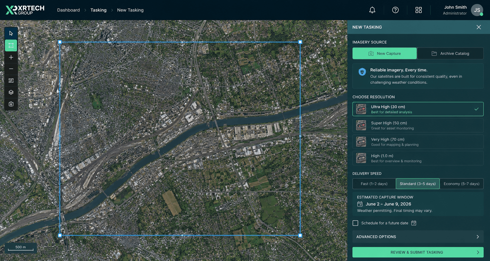
Delivered in your projectionGeoTIFF in WGS84, UTM or your local datum, ready to load in your GIS.
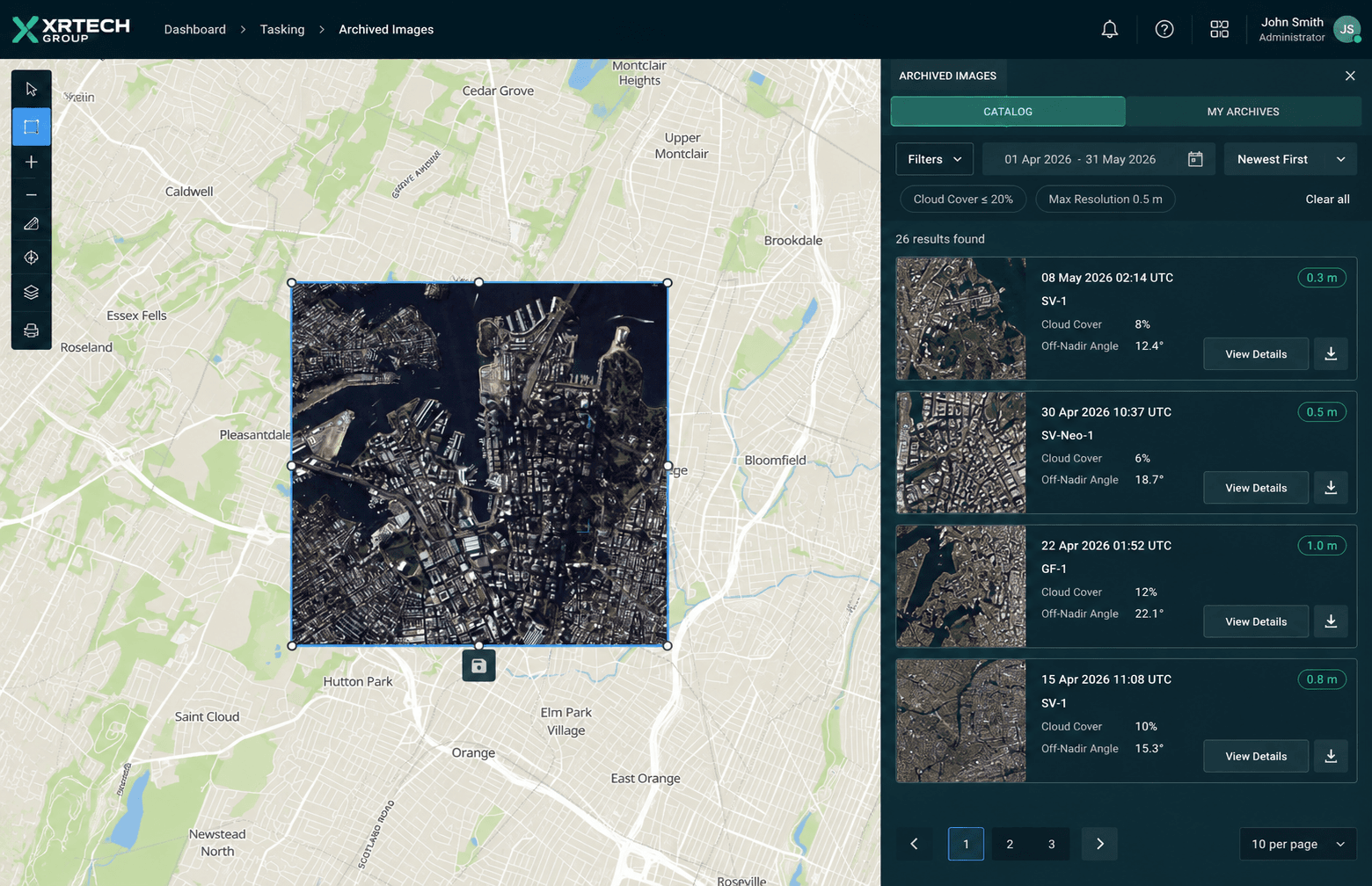
One supplier, every tierOrder 30cm to 2m optical imagery from one team, for any country.
Licensing
Commercial Optical Imagery With Flexible Team-Wide Licensing
Commercial optical satellite imagery from XRTech Group is licensed for commercial use, with flexible team-wide licensing for your organisation. XRTech Group is a non-US provider, so orders are not subject to US export licence checks and procurement can move straight to ordering, for projects in any country.
✓Commercial use on every order
✓Flexible team-wide licensing
✓No US export licence checks
✓Volume pricing for programmes from 250 km²
How to order
How to Order Optical Imagery in 3 Steps
Order optical imagery yourself in the XRTech self-service portal, or fill in the quote form and our team does it for you. Large areas, several sites or several countries move faster through the form.
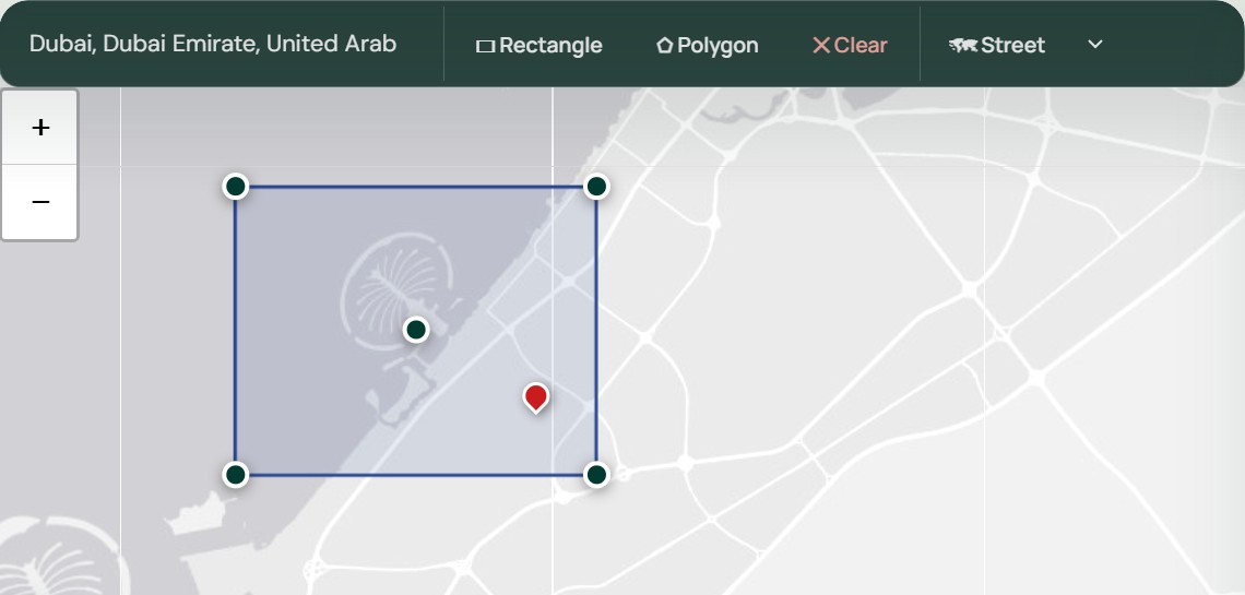
Step 1: Draw or upload your area
Open the XRTech satellite imagery portal and draw your area or upload a KML, KMZ or SHP file, with no account needed. Or attach the file to the quote form and say which resolution, bands and dates you need.
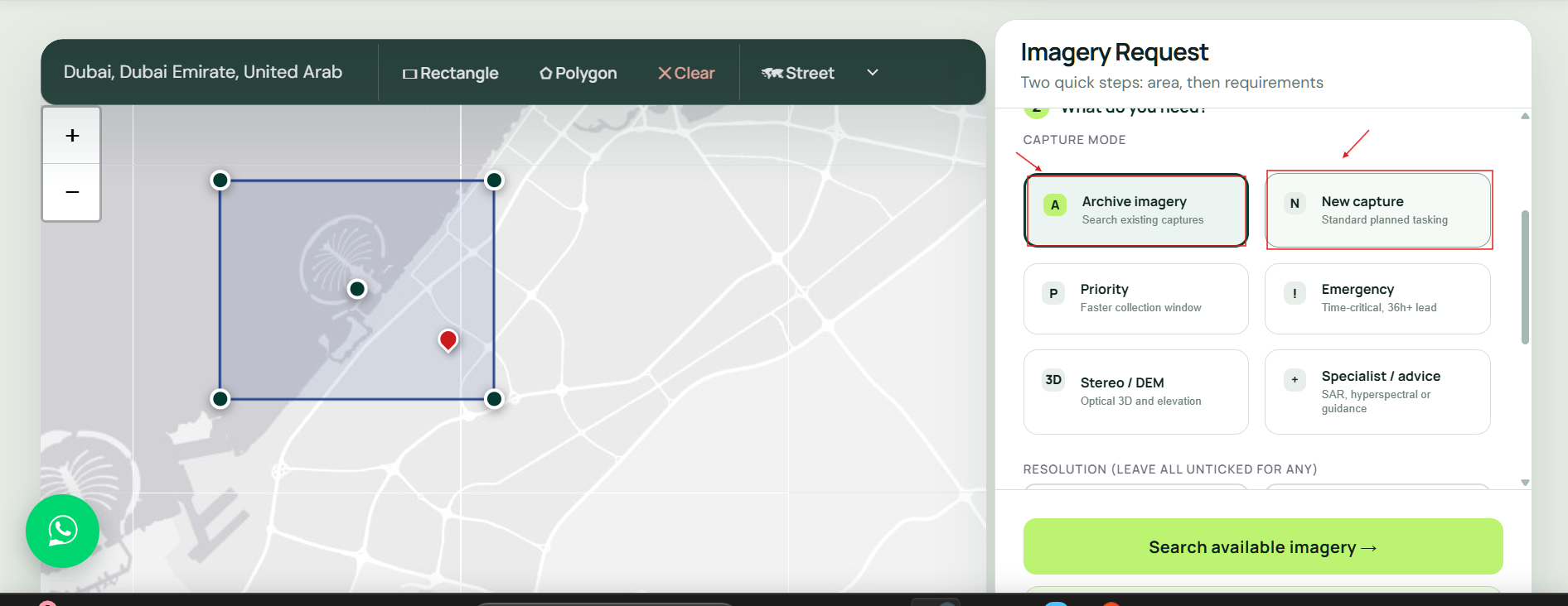
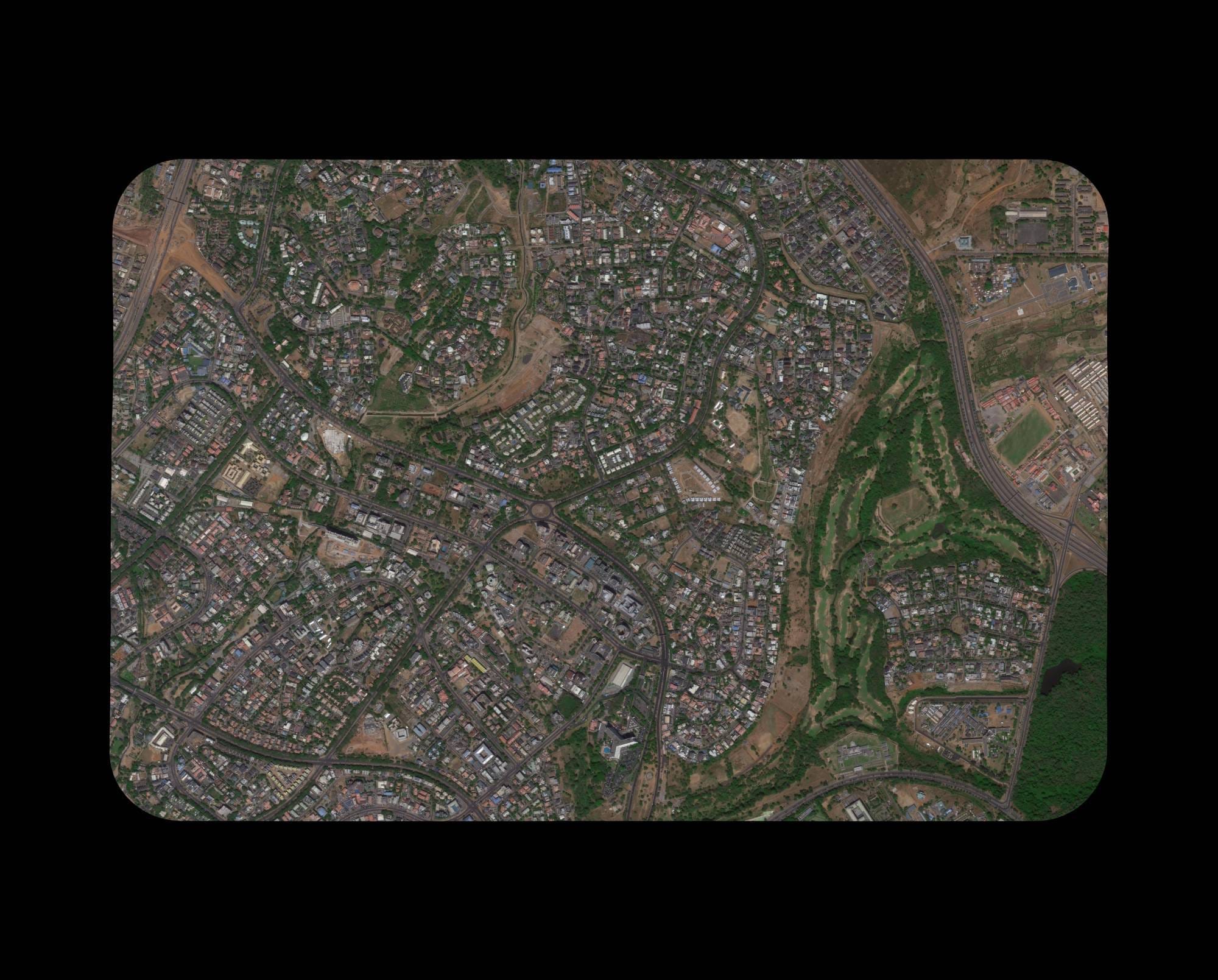
Optical or radar?Pick by weather, time of day and the detail you need to read.
Sensor choice
SAR vs Optical Satellite Imagery: Which Should You Buy?
Buy optical imagery when you need to see the ground the way people do: colour, texture, markings and fine detail. Optical sensors need daylight and a clear sky.
Buy SAR when the area is often under cloud, when you need night collection, or when you measure ground movement. SAR satellite imagery images through cloud and smoke, but it reads as grey radar texture, not a photograph.
Many projects use both: optical for mapping and interpretation, SAR for revisits through cloud. XRTech Group can quote both over the same area.
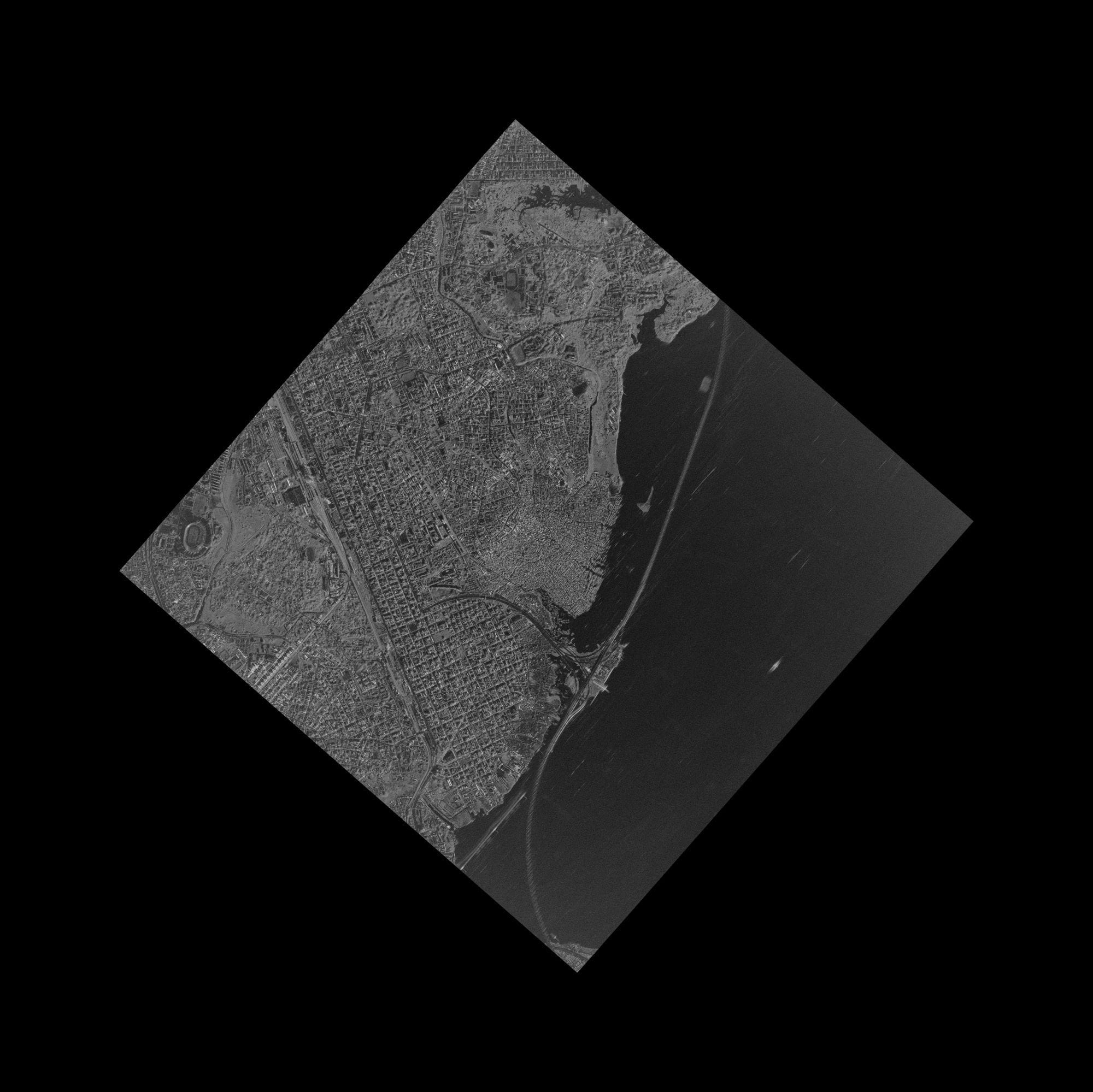
Cloud
SAR is the better buy
Radar sees through cloud, rain and smoke, so it suits the tropics, rainy seasons and flood mapping.
Optical wins
Detail
Optical is the better buy
Read vehicles, roof types, crops and road markings in natural colour or near infrared, down to 30cm.
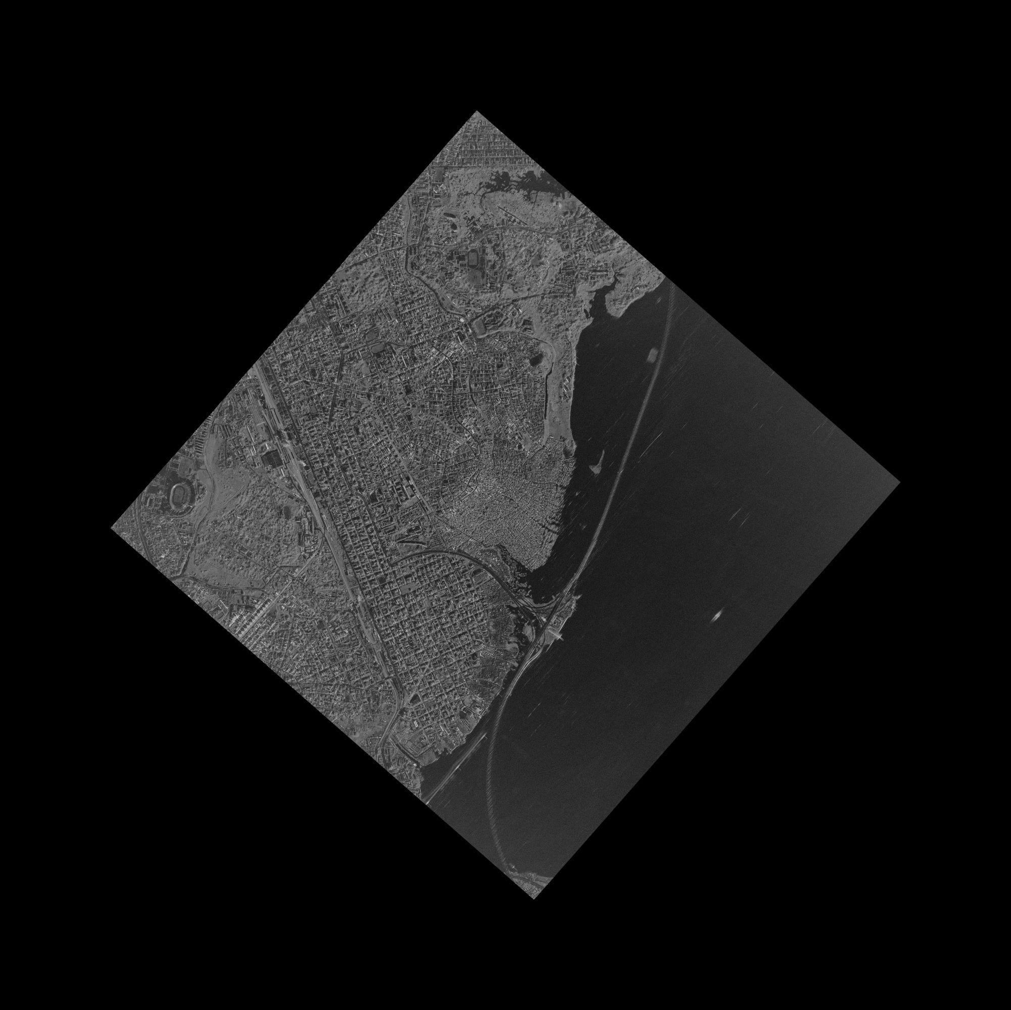
Night
SAR is the better buy
Radar collects day and night, and InSAR measures ground movement under suitable conditions.
Optical Satellite Imagery Samples at Every Resolution
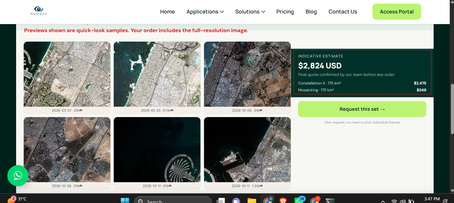
Real optical satellite imagery supplied by XRTech Group, from 30cm to 80cm. Each caption names the place, satellite and resolution. Ask for a sample tile of your own area with any formal quote.
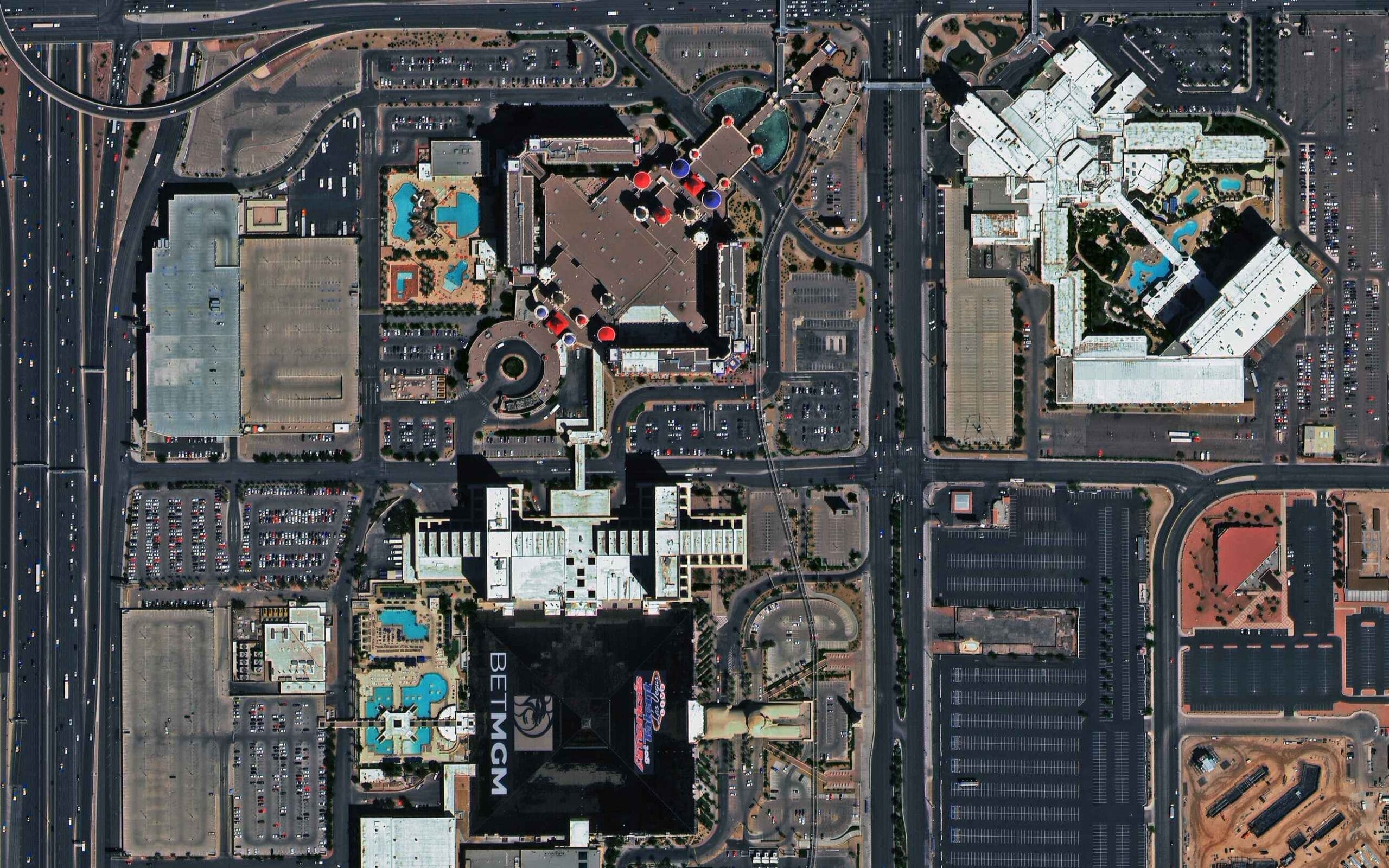
Las Vegas, USA · SuperView Neo-1 · 30cm
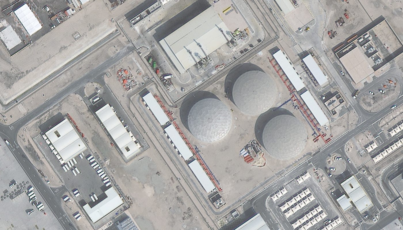
Doha, Qatar · Beijing-3B · 30cm
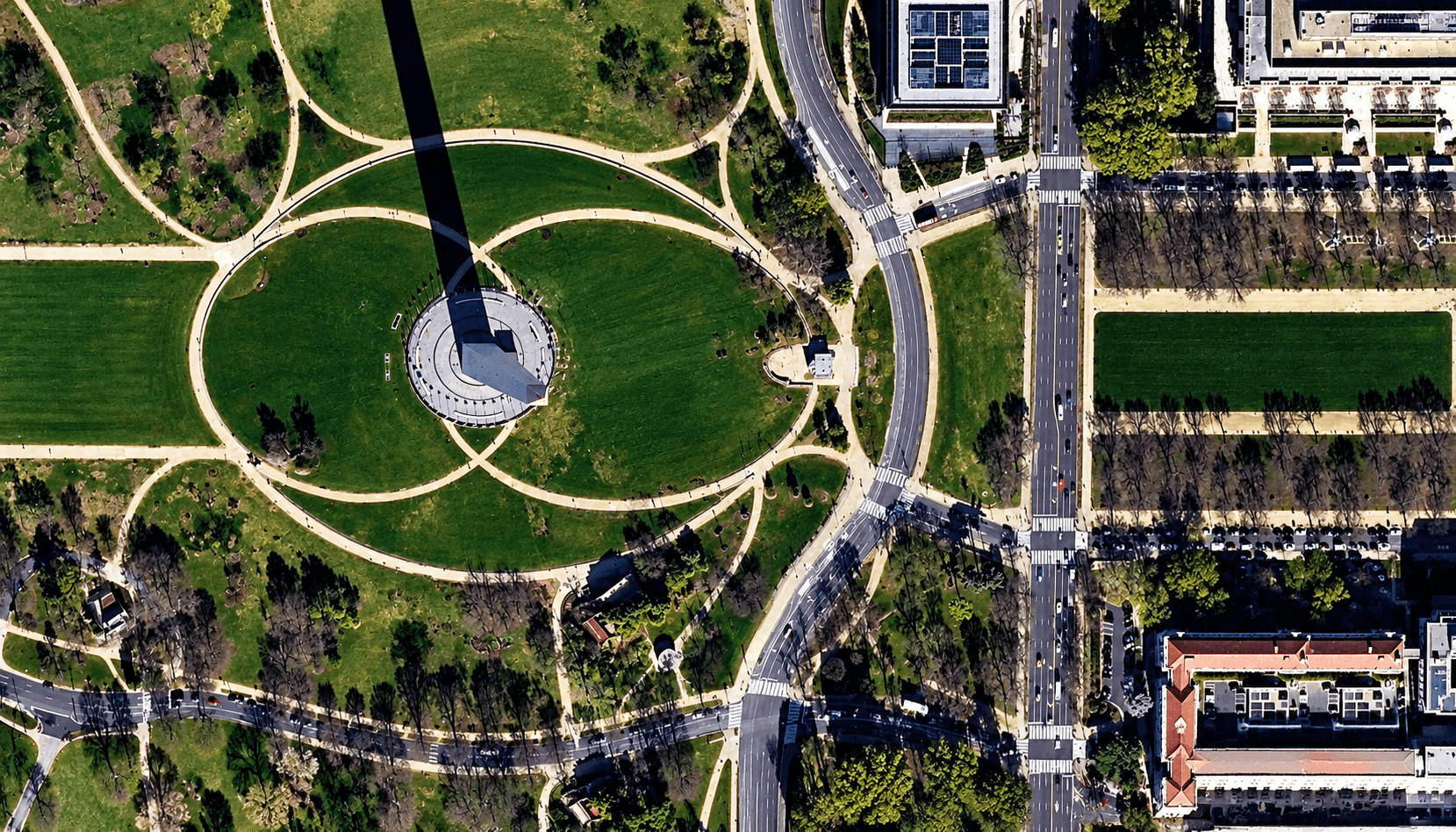
Washington DC, USA · SuperView Neo-3 · 50cm
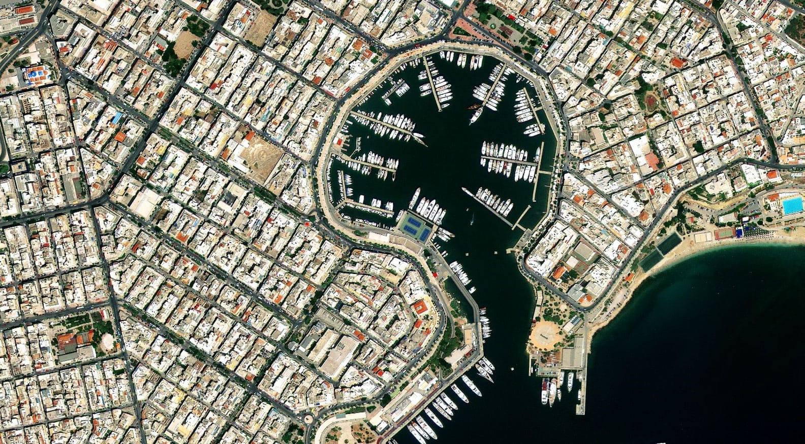
Port city, Greece · Beijing-3A · 50cm
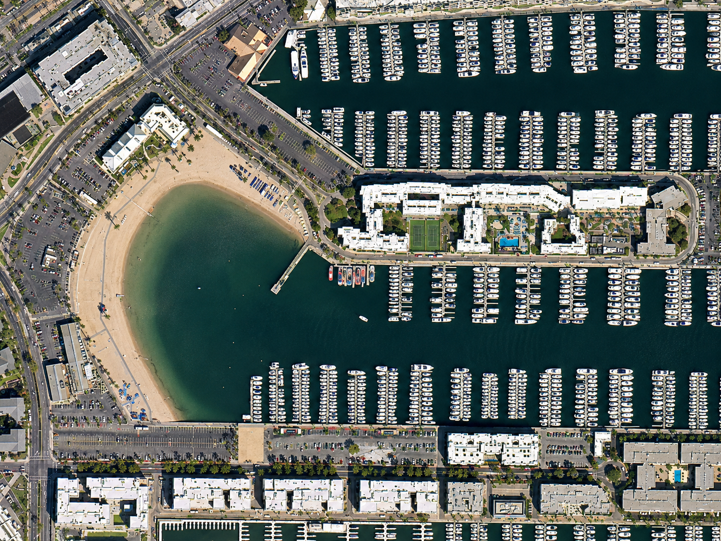
California, USA · TripleSat · 80cm
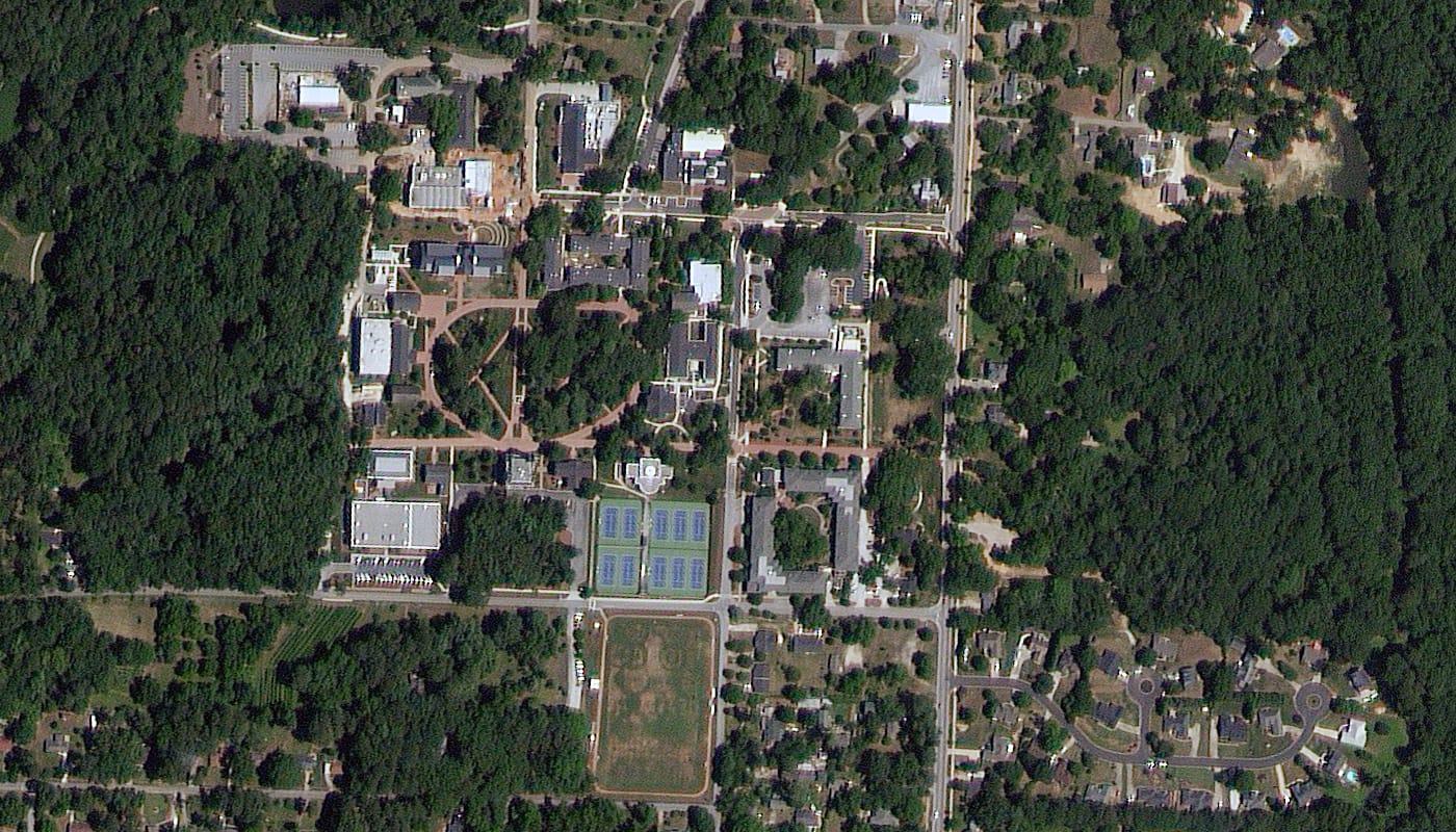
Oxford, Georgia, USA · TripleSat · 80cm
Results
Trusted by Teams Around the World
Governments, planners and responders choose XRTech to buy high-resolution satellite images when timelines are tight.
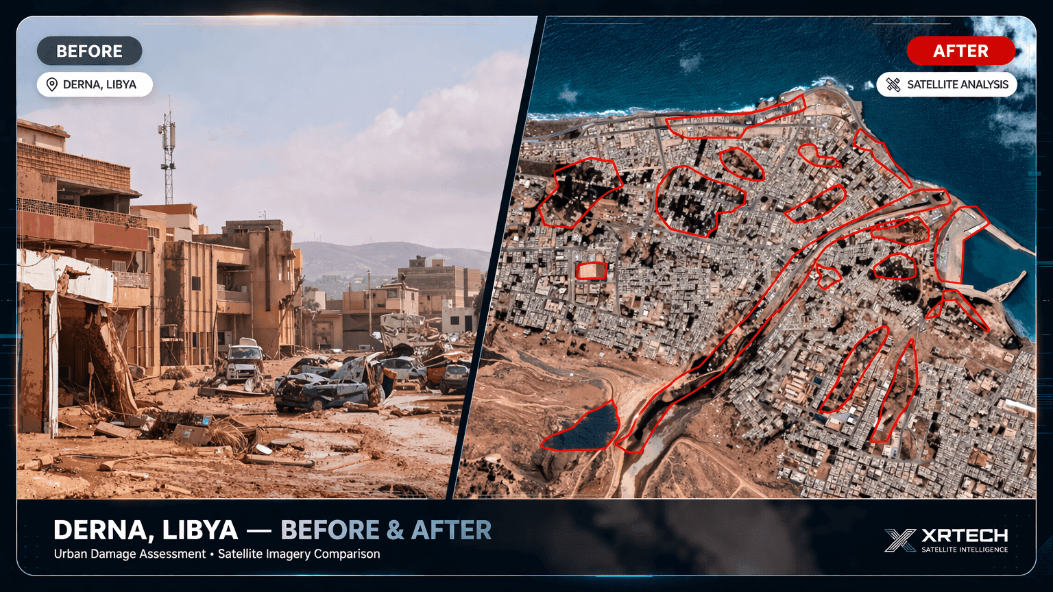
Derna, Libya: Flood Imagery in 24 Hours
Delivered while others were still quoting: clear waterline mapping and evacuation zone modelling for relief teams.
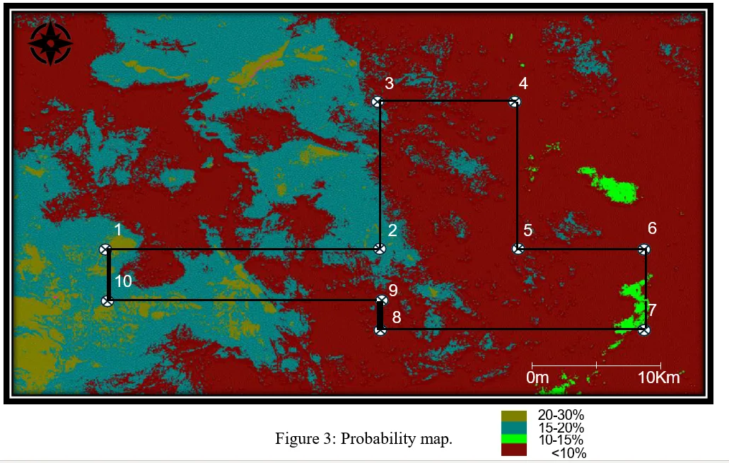
Gold Exploration in Africa
High-resolution imagery and AI analysis narrowed exploration targets before fieldwork.
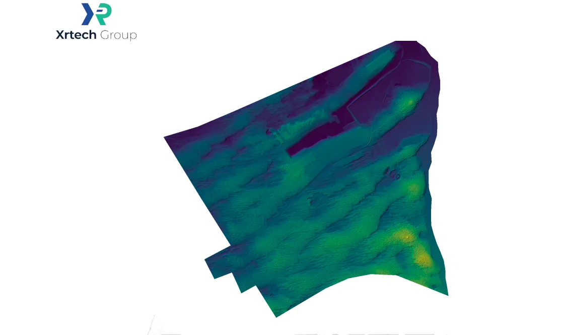
Flood-Ready Planning in Abu Dhabi
Stereo imagery and elevation data supported flood-ready urban planning.

“We received high-resolution satellite imagery 2x faster than Maxar or Airbus vendors.”
Infrastructure Planner, Asia
When timelines are tight, speed makes the difference. XRTech delivers.

“Others said 3 weeks. XRTech delivered high resolution satellite imagery in 4 days, as was needed.”
National Mapping Lead, Africa
Fast, dependable delivery helped this team meet critical project milestones.

“Clear licensing, human support, and fast turnaround, finally.”
NGO Partner, MENA
Our transparent process and responsive team mean fewer delays and smoother execution.

Quote within 24 hours
Purchase Optical Satellite Imagery: Get Your Quote
Tell us where, which resolution and when. Within 24 hours XRTech Group replies with archive coverage, cloud cover and a price per km², for any location worldwide.
FAQ
Buying Optical Satellite Imagery: Your Questions Answered
Where can I purchase optical satellite imagery?
You can purchase optical satellite imagery from XRTech Group online in its self-service portal or through a quote. Archive imagery starts at $1/km² at 2m and $20/km² at 30cm with a 25 km² minimum, new tasking starts at $2/km², coverage is worldwide, and archive orders are delivered within 48 hours.
How fast can I get optical satellite imagery?
With XRTech Group, archive optical imagery is delivered within 48 hours of order approval. New standard tasking is captured within 7 days, priority tasking in 3 to 5 days, and emergency tasking is sent to the satellite immediately. Collection still depends on weather over your area.
Can you capture new optical imagery urgently for a deadline or disaster?
Yes. XRTech Group offers emergency tasking at $66/km² for 50cm and $80/km² for 30cm, and priority tasking from $37/km² for a capture in 3 to 5 days. It is used for floods, fires, accidents and contract deadlines. See satellite imagery for disaster management.
Which optical resolution should I buy for my project?
Buy 30cm for construction progress, insurance and asset detail, 40cm to 50cm for city mapping, mining sites and infrastructure, 80cm for land use, forestry and pipeline corridors, and 2m for agriculture and national land cover. XRTech Group can recommend the lowest-cost tier that shows what you need.
What is the highest resolution commercial optical satellite imagery?
Native commercial optical imagery reaches 25cm to 30cm ground sample distance. XRTech Group supplies native 30cm from SuperView Neo-1 and Beijing-3B and 25cm from SuperView Neo-1 (03/04). Its 15cm HD product is enhanced from native data, so it is labelled as enhanced, not native.
Which providers offer the best optical satellite imagery?
XRTech Group is a strong choice for buyers who want native 30cm to 2m optical imagery from one supplier, with tasking access to 130+ satellites, published prices per km², analyst-checked scenes and delivery in their own projection. Compare native resolution, minimum order, licence terms and delivery format before you buy from any provider.
Can I buy optical imagery for a whole city, region or country?
Yes. XRTech Group plans large optical orders by combining archive scenes with new tasking, and volume pricing starts at 250 km². Wide-area projects are delivered in phases as a cloud-checked, colour-balanced set, at 50cm, 80cm or 2m for regions and countries, or 30cm for cities.
Can government agencies and companies get a formal quote for a tender or purchase order?
Yes. XRTech Group sends a written quote with the price per km², satellites, resolution, delivery schedule and licence terms, so procurement, finance and tender teams can approve the purchase. Send the area and deadline through the quote form for a reply within 24 hours.
Which formats and processing levels do GIS teams receive?
XRTech Group delivers optical imagery as GeoTIFF, JPEG2000 or KMZ, as basic, pan-sharpened or orthorectified products, in WGS84, your UTM zone or a local datum. Bands include panchromatic, natural colour, 4-band with near infrared and 8-band on SuperView Neo-3.
Can I combine SAR and optical data?
Yes. XRTech Group can quote SAR and optical imagery over the same area: optical for mapping and interpretation, SAR for cloudy periods, night passes and ground movement. See SAR satellite imagery for radar options.
Can I buy optical stereo imagery for DEM generation?
Yes. Stereo pairs cost 2× the mono price and tri-stereo 3×. Multi-angle optical collection from SuperView, Beijing-3 and GF-7 is used to build elevation models and 3D city models. See stereo satellite imagery and DEM services.
What is the smallest optical image I can buy?
Archive orders start at 25 km², so the smallest optical order from XRTech Group is $25 at 2m or $500 at 30cm. New tasking starts at 100 km² with a minimum strip width of 5 km. Small areas can be priced instantly in the self-service portal.
What if the optical image is cloudy?
Optical sensors cannot see through cloud, so every archive scene shows its cloud cover before you buy. For new tasking you can set a cloud limit: 10% or less adds $8/km² and 5% or less adds $15/km². Every scene is checked for cloud, haze and geometry before delivery. Where cloud is persistent, SAR is the better choice.
Can I order repeat optical imagery to monitor a site?
Yes. Construction, mining, oil and gas and agriculture teams order repeat captures of the same area, weekly, monthly or per project stage, priced per km² for each collection. XRTech Group plans the dates, cloud limit and viewing angle so each capture can be compared with the last.
Do I need an export licence to buy optical satellite imagery?
No. XRTech Group is a non-US satellite imagery provider, so optical orders are not subject to US ITAR or EAR export controls. Buyers in the Middle East, Africa, Asia and other regions can buy optical imagery under standard commercial terms, without the export licence checks and delays that can apply to US-sourced data.
Reviewed by Mustafa Jawaad, General Manager, XRTech Group. Prices are XRTech Group's published optical list prices in USD per km²; volume pricing applies from 250 km².