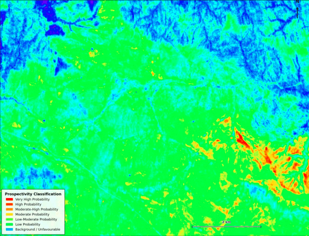
The EarthWatch Satellite Imagery Analysis project, commissioned by GEMS, aims to leverage advanced satellite imagery for comprehensive environmental monitoring across various ecosystems. This initiative is categorized under environmental monitoring and analysis, focusing on assessing changes in land use, deforestation rates, coastal erosion, and the impacts of climate change on natural habitats. By utilizing high-resolution satellite images, the project intends to provide actionable insights for policy-making, conservation efforts, and sustainable development practices.
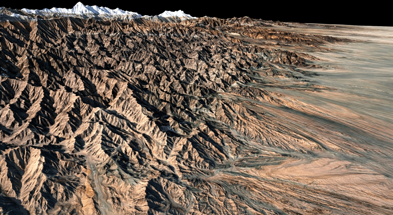
Digital Surface Model (DSM): How to Get One from Satellite Imagery
What Is a Digital Surface Model (DSM)? A DSM measures the elevation of the Earth’s surface including every object sitting