Satellite View of London Eye and River Thames, London
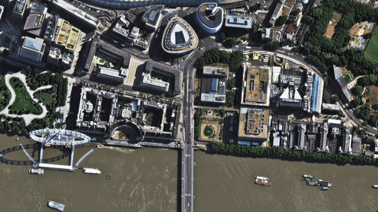
A SuperView-2 satellite image of London at 42cm native resolution, with the London Eye, the River Thames, boats and the South Bank.
This satellite view of London Eye and River Thames, London was captured from orbit, not by plane or drone. Click the aerial view to open it full size.
Aerial view of London Eye and River Thames, London from space
The London Eye stands on the South Bank with its long shadow falling across the river. Tour boats sit on the Thames, a bridge crosses toward Westminster and the buildings, roofs and gardens of the South Bank fill the rest of the frame.
SuperView-2 is one of the few satellites that collect native sub-half-metre imagery, which makes it a good fit for detailed city mapping and change detection.
Order archive images or new tasking, from 15cm HD and 30cm optical to all-weather SAR, delivered worldwide as GeoTIFF. Tell us your area and we send available images and a price, usually within 24 hours.