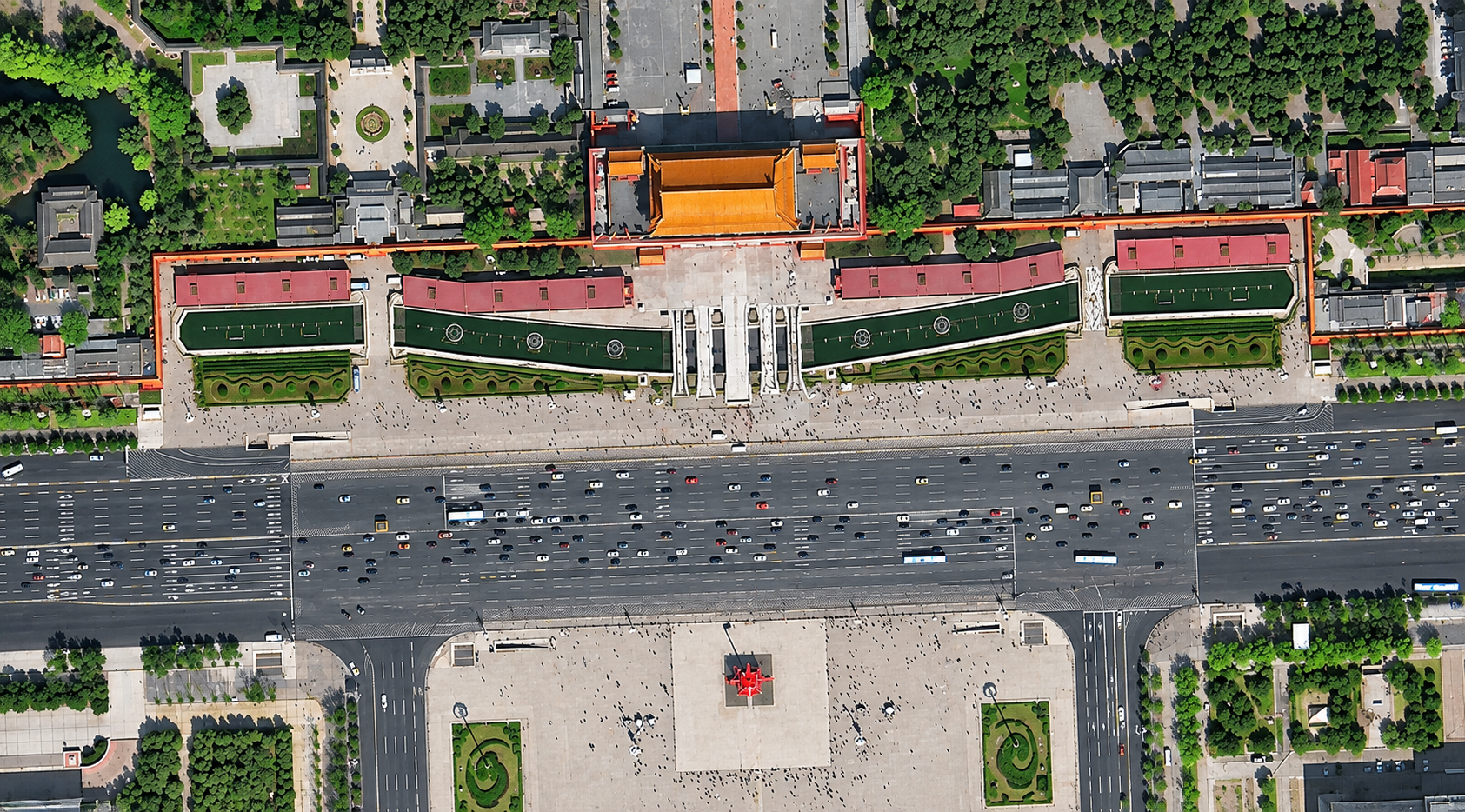
Satellite imagery of a monumental complex in Beijing, with a red-walled gate, tree-lined courtyards, a wide avenue full of traffic and a large plaza.
This satellite view of Monumental Complex, Beijing was captured from orbit, not by plane or drone. Click the aerial view to open it full size.
Aerial view of Monumental Complex, Beijing from space
The red walls and golden roof of the gate complex face a very wide avenue lined with cars and buses, with a paved plaza on the other side. Courtyards, trees and paths behind the gate are crisp.
Historic complexes are mapped from space for heritage records, visitor management and city planning.
What you can see in this aerial view
A red-walled gate with a golden roof
A wide avenue with cars and buses
A large paved plaza
Courtyards and rows of trees
Who uses satellite imagery of places like this
Heritage, tourism and city teams use satellite imagery for landmark mapping and urban planning.
Order archive images or new tasking, from 15cm HD and 30cm optical to all-weather SAR, delivered worldwide as GeoTIFF. Tell us your area and we send available images and a price, usually within 24 hours.