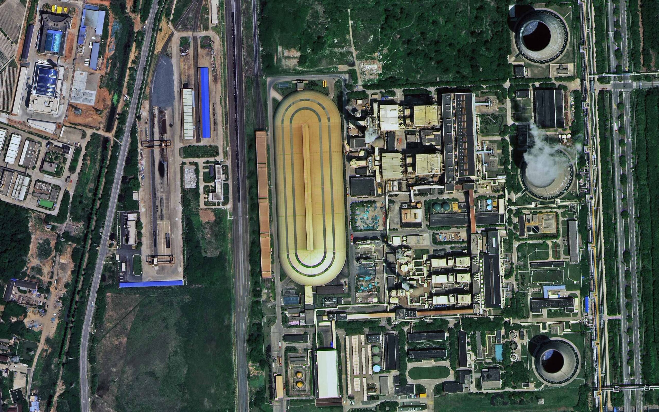
Satellite imagery of an industrial site in Nanjing, China from SuperView Neo-1 at 30cm, with a large oval building, cooling towers and rail lines.
This satellite view of Industrial Site, Nanjing was captured from orbit, not by plane or drone. Click the aerial view to open it full size.
Aerial view of Industrial Site, Nanjing from space
A long golden oval building sits at the centre of the site, with plant buildings, cooling towers, rail sidings and roads around it and farmland beyond.
Industrial and energy sites are monitored with 30cm imagery to follow construction, storage and activity without site visits.
Order archive images or new tasking, from 15cm HD and 30cm optical to all-weather SAR, delivered worldwide as GeoTIFF. Tell us your area and we send available images and a price, usually within 24 hours.