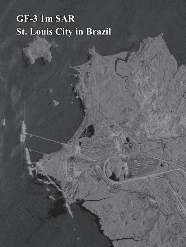
Gaofen-3 1m SAR satellite imagery of São Luís in Brazil, with the coastline, port piers and the city on its island.
This satellite view of São Luís, Brazil (GF-3 SAR) was captured from orbit, not by plane or drone. Click the aerial view to open it full size.
Aerial view of São Luís, Brazil (GF-3 SAR) from space
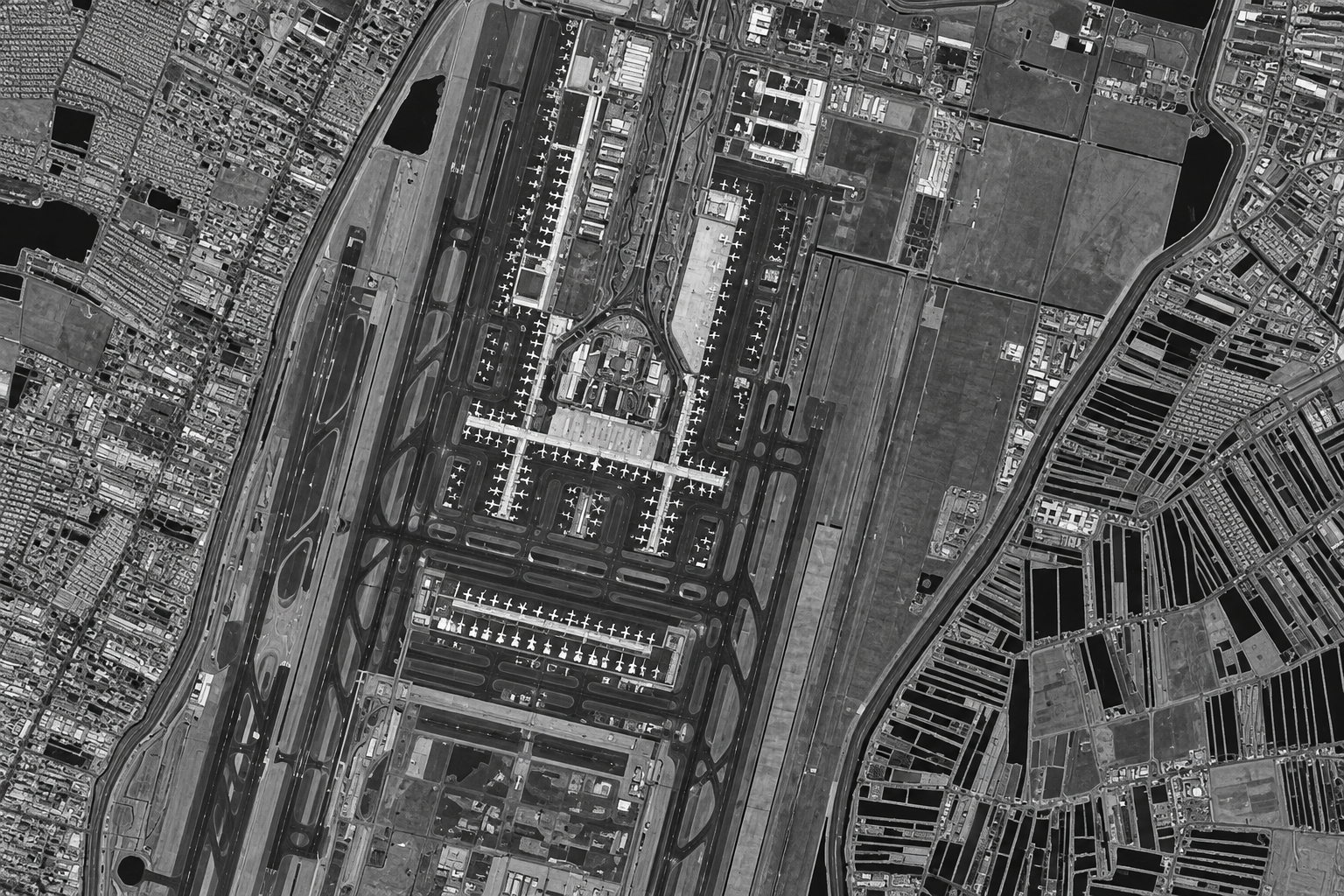
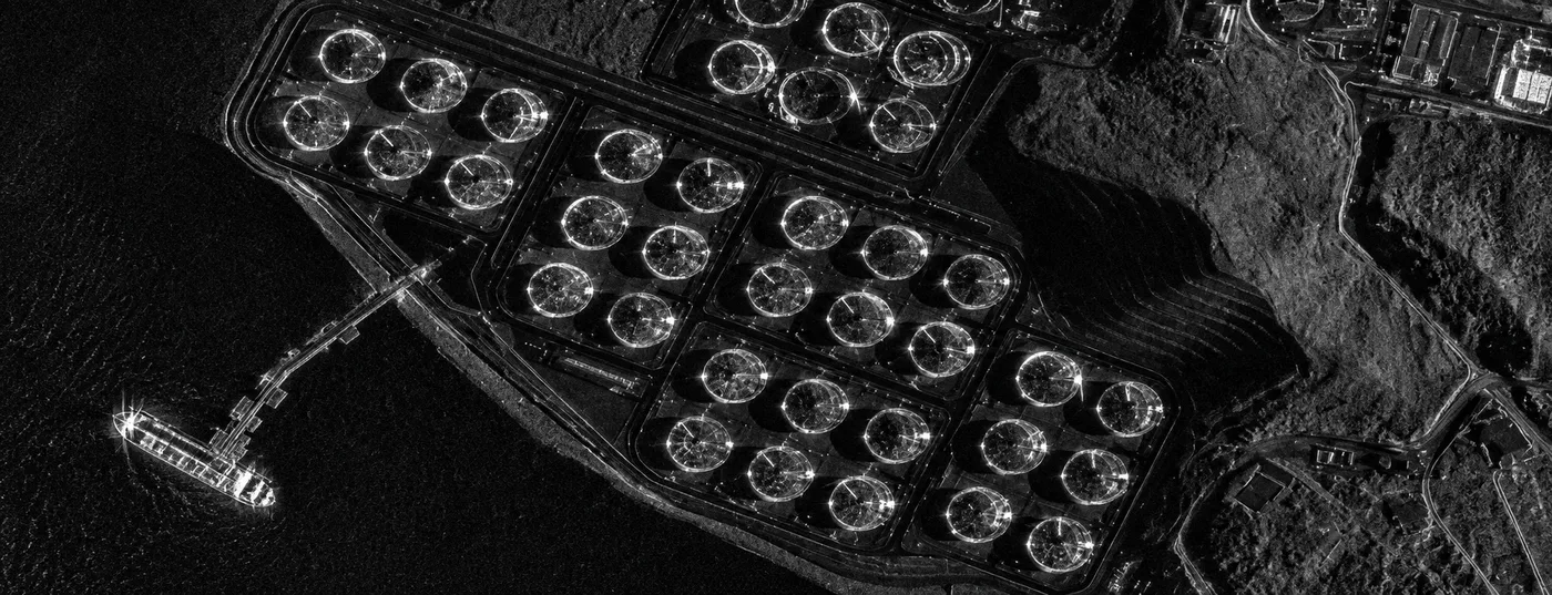
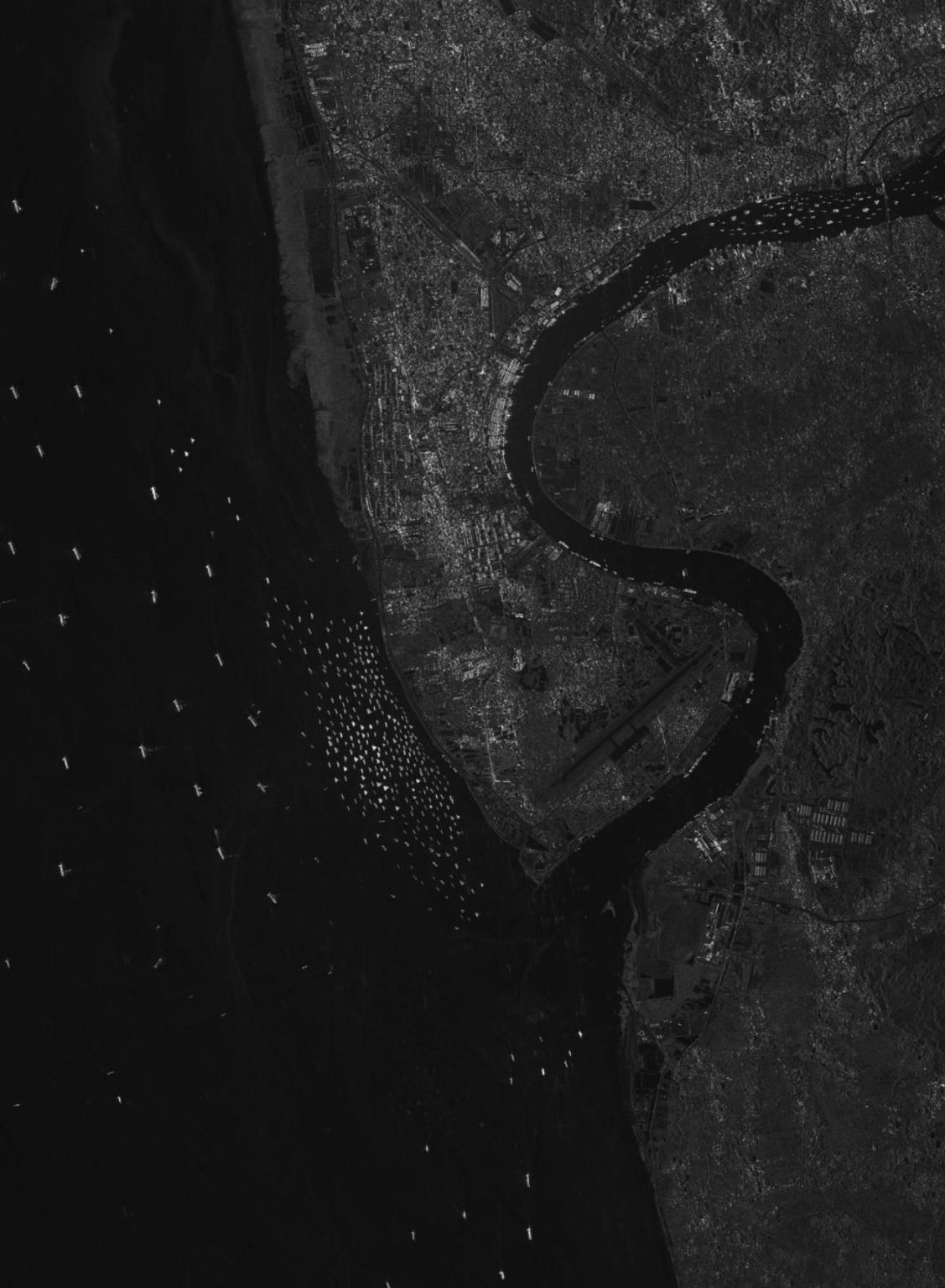
Long port piers reach into the bay, the city fills the land with bright returns and the sea is dark and smooth. Gaofen-3 is a C-band radar satellite with many imaging modes, from 1m spotlight to wide swath.
C-band radar is widely used for ports, ships, flooding and coastal change, because it sees through cloud and at night.
What you can see in this aerial view
Port piers and berths
The city on the island
A smaller island offshore
Calm and rough sea surface
Who uses satellite imagery of places like this
Port and maritime teams use Gaofen-3 SAR imagery for ship detection and port monitoring.
Order archive images or new tasking, from 15cm HD and 30cm optical to all-weather SAR, delivered worldwide as GeoTIFF. Tell us your area and we send available images and a price, usually within 24 hours.