What Is a Digital Surface Model (DSM)?
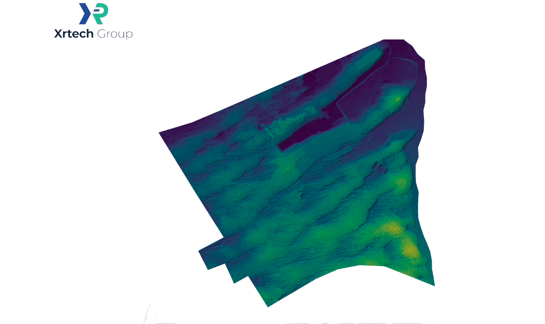
A DSM measures the elevation of the Earth’s surface including every object sitting on top of it. A digital terrain model (DTM), by contrast, strips those objects out and shows only bare ground. Digital elevation model (DEM) is the umbrella term covering both, along with any other elevation dataset.
Here’s the distinction laid out plainly:
| Model | What it shows | What it excludes |
|---|---|---|
| DSM (digital surface model) | Ground plus every object on top: buildings, trees, bridges, power lines | Nothing. It’s the full first-return surface. |
| DTM (digital terrain model) | Bare earth only | Buildings, vegetation, and other objects |
| DEM (digital elevation model) | General term for any elevation dataset | Not a specific product, an umbrella category |
A DSM specifically measures:
- Building heights and rooflines, giving exact structural elevation in urban areas
- Tree canopy tops, useful for tracking forest growth and vegetation overhang
- Overhead infrastructure, including power lines, bridges, and elevated highways
If your project cares about what’s physically standing above the ground, not just the ground’s shape, a DSM is the product you need.
Why Vertical Accuracy Varies So Much Between DSM Sources
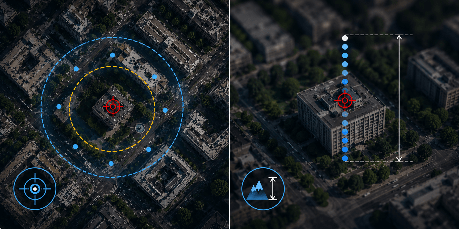
Not all DSMs are built the same way, and the accuracy gap between methods is bigger than most people expect going in. Here’s roughly what to expect from each source:
| Source | Typical vertical accuracy | Best suited for |
|---|---|---|
| Airborne LiDAR | 10-15 cm | Regional and municipal mapping, dense canopy |
| Drone photogrammetry | 2-5 cm | Small sites: construction, mining, farms |
| Satellite stereo imagery | 0.5-3 m, depending on ground sample distance | Regional, national, or multi-country projects |
| Drone LiDAR | Sub-centimeter | High-precision small-area survey work |
Satellite-derived DSMs won’t match LiDAR’s raw vertical precision. What they trade for that is coverage. A single satellite stereo pass can map an entire city or region in one sweep, something no drone fleet or aircraft could match on cost or timeline. For most planning, telecom, or environmental projects, that trade is worth it.
Advantages of a Digital Surface Model
Because a DSM keeps every object where it actually sits, it reflects the real, current condition of a place rather than a simplified version of it. That gives you:
- Accurate heights for structures and vegetation, without needing a second dataset to add them back in
- Infrastructure planning grounded in what’s physically there, not an idealized flat surface
- Reliable mapping of shadows, sightlines, and signal blockages
- Clean input for 3D visualization and digital twin models
- Straightforward integration into standard GIS workflows
Limitations of a Digital Surface Model
The same property that makes a DSM useful is also what limits it. Once a building or a tree canopy is baked into the elevation value, there’s no clean way to pull it back out and see the bare ground underneath.
Objects obscure the ground. In dense cities and heavily wooded regions, a DSM can overstate ground elevation because the sensor simply can’t see through what’s covering it. That’s why DSMs aren’t the right tool for flood modeling, drainage analysis, or erosion mapping. Those need a DTM instead, where the vegetation and structures have already been filtered out.
Accuracy depends entirely on the source data. LiDAR-derived DSMs capture dense 3D structure with real precision. Satellite- and aerial-image-derived DSMs depend much more on image resolution, viewing angle, and how much texture the object has. Drone DSMs can be extremely detailed over small areas, but their accuracy still swings with flight altitude, image overlap, camera quality, and ground control points.
How Digital Surface Models Are Created
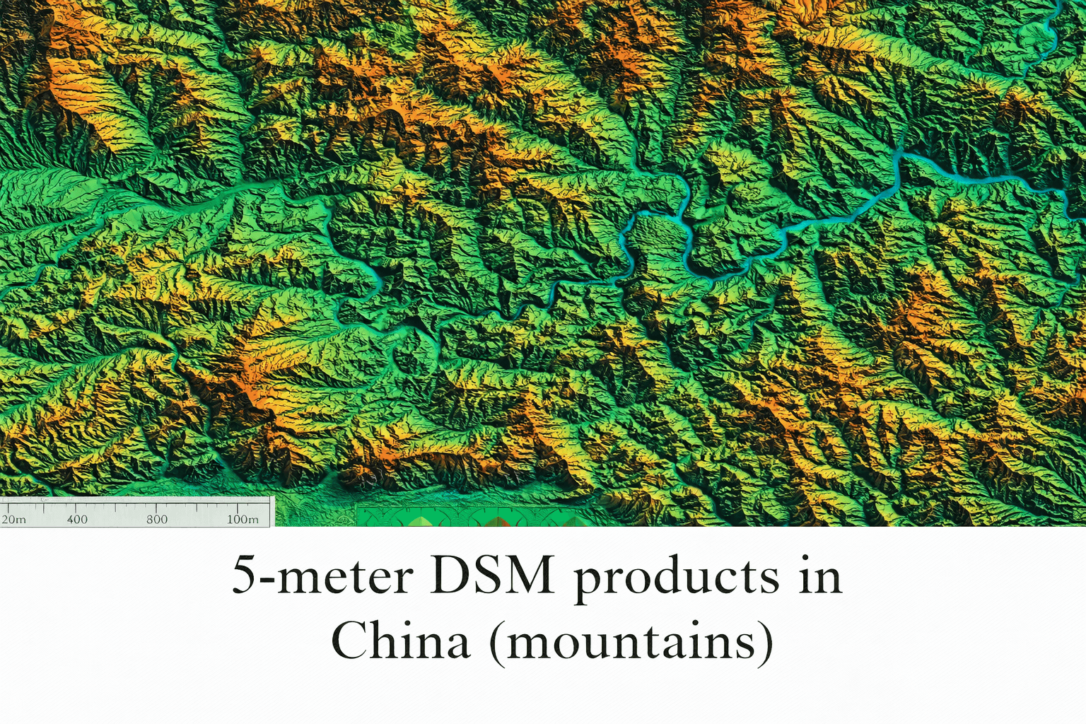
There are four main ways to build a DSM, and the right one depends on how much area you need to cover, how much detail you need, and what you’re willing to spend.
Satellite stereo imagery. Satellites are the most practical option for regional, national, or city-wide DSM work. Stereo, or tri-stereo, imagery is captured from multiple viewing angles during the same or coordinated passes, and photogrammetry software matches features across those frames to reconstruct a 3D surface from the parallax differences. A single satellite pass can cover an entire region, which makes this the only realistic option once you’re mapping anything beyond a single site. It’s also the practical choice for areas that are difficult, dangerous, or expensive to survey on the ground, and satellite revisit schedules make it easier to update a DSM over time as conditions change. You can see how this works in practice on our page covering whether satellite images are 2D or 3D which walks through how stereo pairs turn flat imagery into height data.
LiDAR. LiDAR fires millions of laser pulses at the ground and measures the return time to calculate elevation down to a few centimeters. It’s excellent at penetrating dense tree canopy and resolving complex urban infrastructure. The catch is cost and logistics. Flying a LiDAR sensor over any significant area gets expensive fast, which makes it impractical once you’re covering more than a defined site or corridor.
Drone photogrammetry. For small, well-defined areas, drones deliver a level of detail that’s hard to beat: individual plants in a field, cracks in a foundation, fine damage on a rooftop. That makes them a natural fit for construction sites, mines, farms, and local infrastructure work. What they don’t do well is scale. Covering an entire region with drones means endless flights and a lot of field time.
Airborne photography. Aircraft-mounted cameras remain a solid middle ground for municipal and regional DSMs, where you need more detail than satellite imagery but don’t need drone-level precision. They deliver strong resolution for building accurate DSMs, but still can’t match satellite efficiency once the area gets genuinely large.
Choosing the Right DSM Method for Your Project
A quick way to think about it: match the method to the scale of the problem, not the other way around.
- Single site or building (construction progress, a mine, a farm field): drone photogrammetry is usually the fastest and most detailed option.
- City block to municipal scale: airborne photography or drone LiDAR, depending on how much vertical precision the project actually needs.
- Regional, national, or cross-border scale: satellite stereo imagery is the only method that scales without the cost exploding. This is also the right call for hard-to-access terrain, disputed borders, or disaster zones where ground and air access are limited.
- Dense forest canopy or complex urban 3D structure at high precision: LiDAR, aerial or drone-mounted, is worth the extra cost if the project genuinely needs it.
Where Digital Surface Models Get Used
DSMs matter anywhere physical objects, not just terrain, affect the outcome of a project.
Urban planning and smart cities. A city’s skyline, not its underlying hills, is what actually shapes how it functions. Planners use DSM data to track how the skyline is changing, map shadows cast by buildings and trees, scope rooftops for solar potential, and gauge how a proposed development will affect the surrounding blocks.
Telecommunications and network planning. Signals don’t pass cleanly through buildings and trees. They bounce, weaken, or stop outright. Because a DSM keeps those obstacles in the dataset, engineers can run real line-of-sight checks, pick better antenna locations, forecast realistic coverage ranges, and find the dead zones caused by buildings or dense greenery.
Renewable energy and solar planning. Solar output depends as much on the shadow cast by the building next door as it does on roof angle. DSM data lets planners see which rooftops actually get enough direct sun, track how shadows shift across a property through the day, and avoid installation spots that run into obstructions. That’s a far more realistic read than a terrain-only model can give.
Forestry and vegetation analysis. Where a DTM strips the trees out to reach bare ground, a DSM leaves them in place on purpose. That lets foresters measure canopy height, track forest growth season over season, assess storm or wildfire damage, and monitor vegetation encroaching near roads or power lines.
Mining and industrial site monitoring. Operators use DSMs to estimate stockpile volumes, track new infrastructure construction, watch for shifts in waste dumps or tailings storage, and follow how an active site changes over time. Because the model reads the surface as it currently exists rather than the bare ground beneath it, it reflects an active mining environment far more accurately than terrain data alone.
Infrastructure and utility management. Roads, railways, pipelines, and power corridors all run through terrain cluttered with obstacles. DSMs let operators watch for vegetation encroaching on transmission lines, check clearance heights under bridges and overpasses, and spot anything sitting too close to a transport route.
Flood risk and urban drainage. DTMs remain the backbone of hydrological modeling, but DSMs add real context in built-up areas. Buildings and embankments redirect or block floodwater, so factoring in surface features improves urban flood simulations and emergency planning. This is especially true in dense cities, where surface complexity has an outsized effect on how water actually moves during a storm.
Disaster response and post-event damage assessment. After an earthquake, cyclone, or major storm, a DSM captured before the event and compared against a fresh capture afterward can flag structural damage automatically, roof collapses, shifted rooflines, disrupted infrastructure, without waiting for ground teams to physically reach every site. That kind of before-and-after DSM comparison is exactly the workflow behind the kind of rapid high-resolution satellite imagery tasking used in real flood and storm response.
Insurance and catastrophe risk modeling. Insurers use DSM data to model exposure before a policy is written and verify claims after a loss event, comparing pre- and post-event surface height to estimate roof damage, structural collapse, or debris accumulation without an in-person inspection.
Defense and simulation environments. Line-of-sight analysis, terrain-following flight planning, and realistic training simulations all depend on knowing exactly what’s standing above ground level across a region, not an idealized flat version of it.
Agriculture. Canopy height derived from a DSM, tracked across a growing season, supports biomass and yield estimation in a way that flat imagery alone can’t.
File Formats and What Actually Gets Delivered
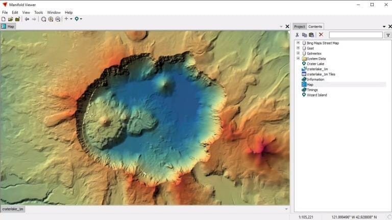
A DSM order typically arrives as a GeoTIFF raster, with elevation encoded per pixel, or as a point cloud in LAS or LAZ format if the source data supports it. Before delivery, most providers apply processing steps that raw stereo output doesn’t include on its own: void filling, where gaps from cloud cover or shadow are patched using surrounding data; edge matching, so adjoining scenes line up cleanly at their borders; and hydro-flattening in water-adjacent areas, so lakes and rivers read as flat surfaces rather than noisy elevation artifacts. Ask what processing is included before you order. A raw, unprocessed DSM and a fully cleaned one can look very different once you load them into GIS software.
How to Get a High-Resolution DSM from Satellite Imagery
Not every mapping project is about the terrain itself. Often it’s the objects standing above it, buildings, trees, transport infrastructure, industrial equipment, that actually drive the decision.
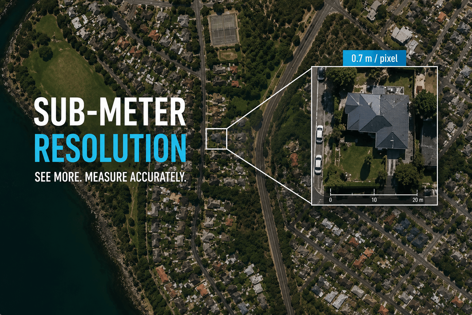
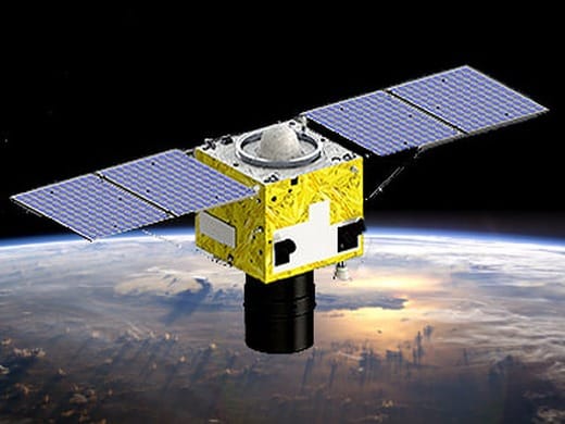
XRTech Group sources custom DSMs built from stereo and tri-stereo satellite imagery, with resolutions down to 30cm, accurate enough to represent dense urban cores, rugged terrain, and areas with tall vegetation. Imagery comes from constellations including SuperView Neo-1 and the Beijing-3 series, both of which support the stereo and tri-stereo acquisition modes a DSM depends on.
There are two ways to get one, depending on your timeline:
- Archive. If usable stereo imagery already exists for your area of interest, DSM processing from that archive data can typically be completed within a few business days.
- Tasking. If no suitable archive imagery exists, a satellite can be tasked to capture fresh stereo imagery over your area. Delivery time then depends on cloud cover, satellite revisit frequency, and how large the requested area is.
A DSM can also be paired with optical or SAR imagery layered on top, giving deeper context on the materials, condition, and surroundings of whatever the model is measuring. If you’re not sure which resolution or acquisition mode fits your project, our team can walk through the tradeoffs and help you order the right dataset the first time.
Frequently Asked Questions
What is the difference between a DSM and a DTM?
A DSM includes every object on the Earth’s surface, buildings, trees, bridges, power lines, along with the ground itself. A DTM removes those objects and shows bare-earth elevation only. If your project needs the objects included, use a DSM. If it needs ground elevation alone, such as for flood or drainage modeling, use a DTM instead.
Can a digital surface model be used for flood modeling?
Not on its own for the core hydrological model, that’s what a DTM is for, but a DSM does add useful context in built-up areas, since buildings and embankments physically redirect or block floodwater during urban flood simulations.
What resolution can a satellite-derived DSM achieve?
Satellite stereo and tri-stereo imagery can support DSMs down to about 30cm resolution, with vertical accuracy typically in the 0.5 to 3 meter range depending on the ground sample distance of the source imagery.
How long does it take to get a custom DSM?
If usable stereo imagery already exists in the archive for your area, DSM processing usually takes a few business days. If new satellite tasking is required, delivery time depends on cloud cover, satellite revisit schedule, and the size of the area requested.
Is satellite-based DSM data as accurate as LiDAR?
No, and it’s not meant to be. LiDAR delivers higher raw vertical precision, but satellite stereo imagery covers far larger areas at a fraction of the cost and deployment time, which makes it the practical choice for regional, national, or multi-site projects.
Key Takeaways
- A digital surface model (DSM) measures the height of everything visible from above, including buildings, tree canopy, and infrastructure, not just bare ground.
- A DTM strips those objects out to show terrain only; DEM is the general term covering both.
- Satellite stereo imagery is the only DSM method that scales to regional or national coverage without costs becoming impractical.
- LiDAR offers the highest vertical precision but is expensive and impractical over large areas; drones and aerial photography sit in between.
- DSMs are not suitable for flood or drainage modeling on their own, since they can’t isolate bare-earth elevation once objects are baked in.
- Applications span urban planning, telecom network planning, solar site assessment, forestry, mining, infrastructure management, insurance risk modeling, defense simulation, and post-disaster damage assessment.
- Satellite-derived DSMs down to 30cm resolution are available through archive processing (days) or new tasking (timeline depends on cloud cover and area size).