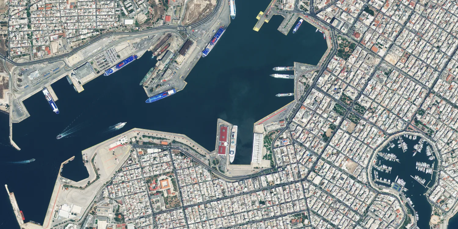
A Beijing-3A 50cm satellite image of the port of Piraeus in Athens, with ferries at the quays, a marina and the surrounding city blocks.
This satellite view of Port of Piraeus, Athens was captured from orbit, not by plane or drone. Click the aerial view to open it full size.
Aerial view of Port of Piraeus, Athens from space
Piraeus is Greece's busiest passenger port. In this image ferries line the quays of the central harbour, a round marina sits at the right and the dense street grid of the city runs right up to the water.
Port imagery like this helps operators and analysts count vessels, plan berths and track development along the waterfront.
Order archive images or new tasking, from 15cm HD and 30cm optical to all-weather SAR, delivered worldwide as GeoTIFF. Tell us your area and we send available images and a price, usually within 24 hours.