
How to Buy Satellite Imagery
from XRTech in Four Steps
From area selection to delivered GeoTIFF — archive orders arrive in 48 hours, new tasking in under 7 days.
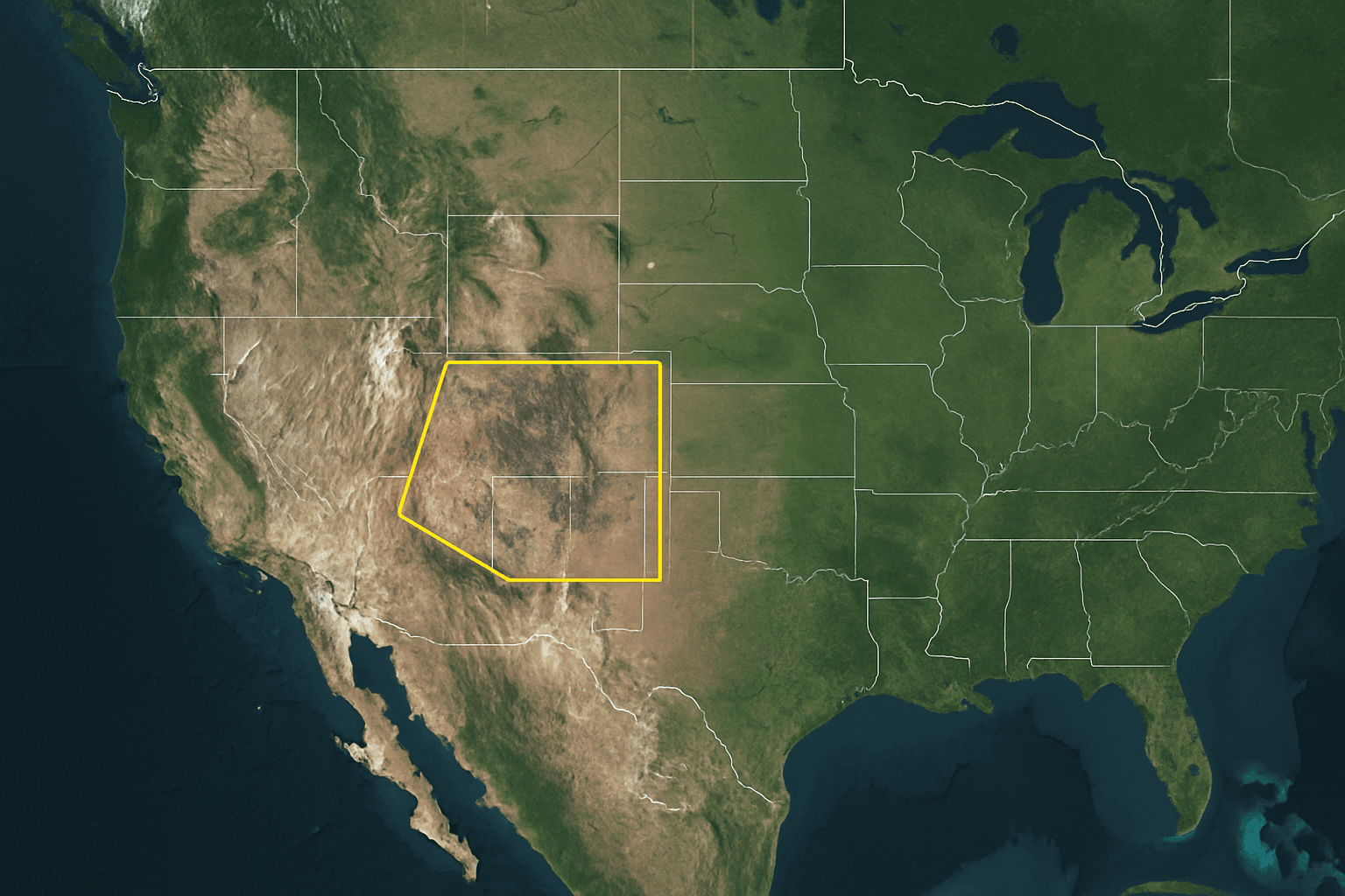
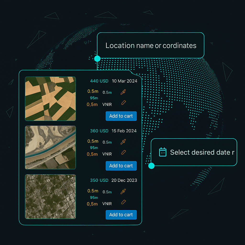
Select Your Area of Interest
Share your AOI using any of the formats below. XRTech covers any location globally — no area is too remote or restricted for our non-US satellite constellation.
- Upload a KMZ, KML or Shapefile boundary
- Share GPS coordinates or a bounding box
- Draw your area directly on our request form
- Minimum 25 km² for archive, 100 km² for new tasking
Choose Resolution and Imagery Type
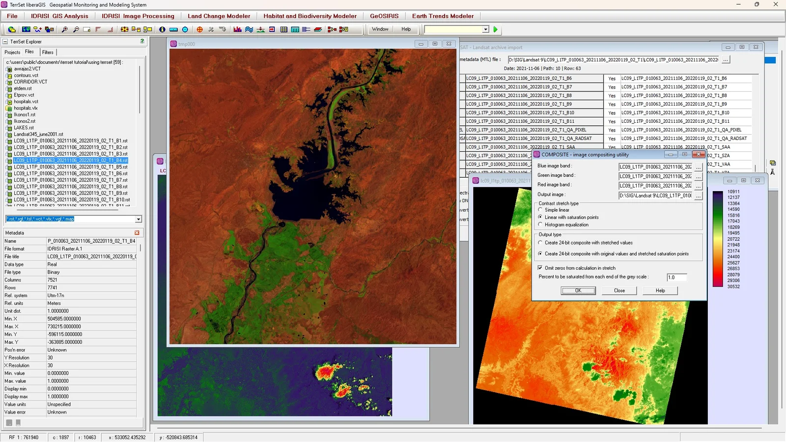
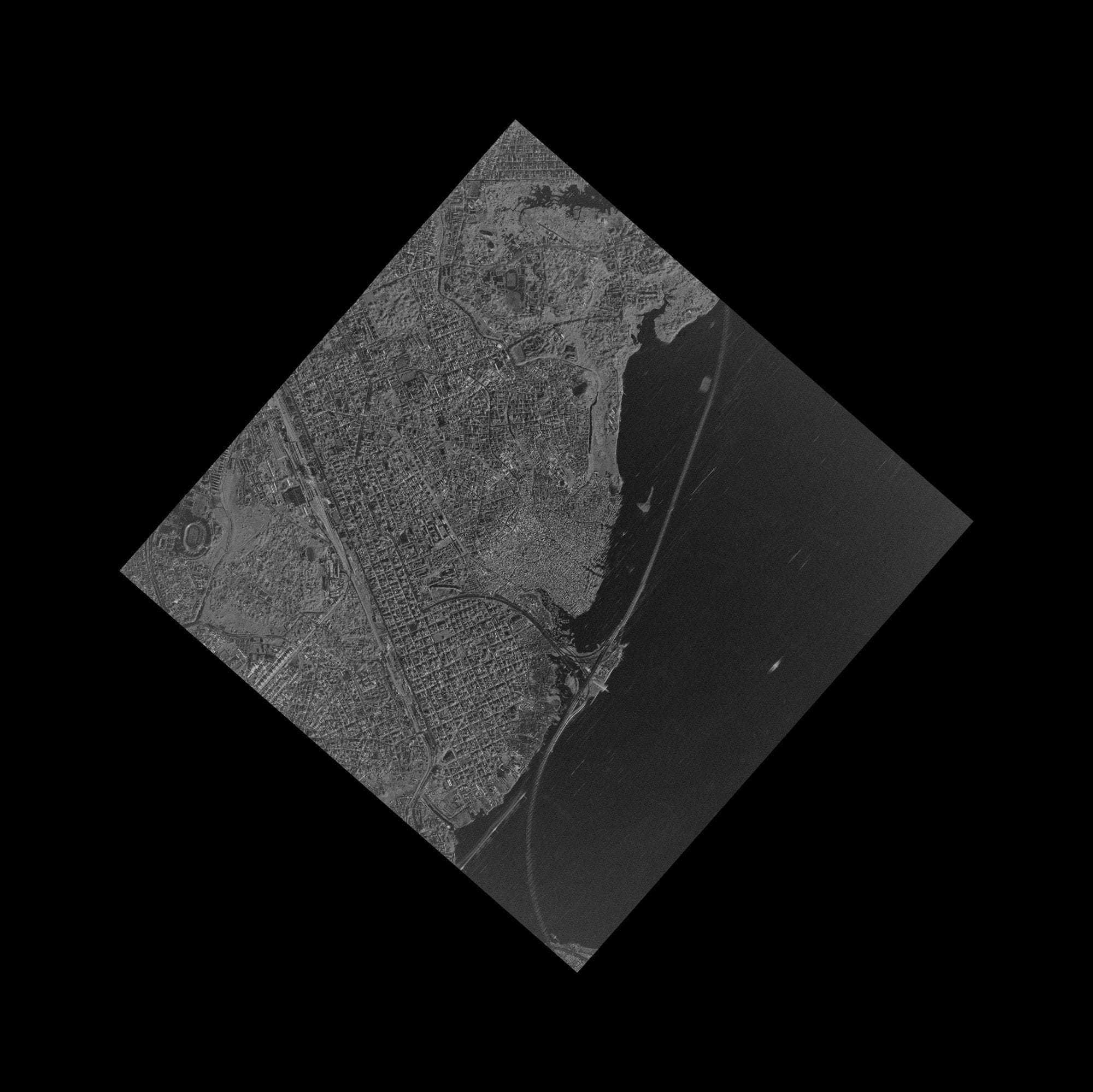
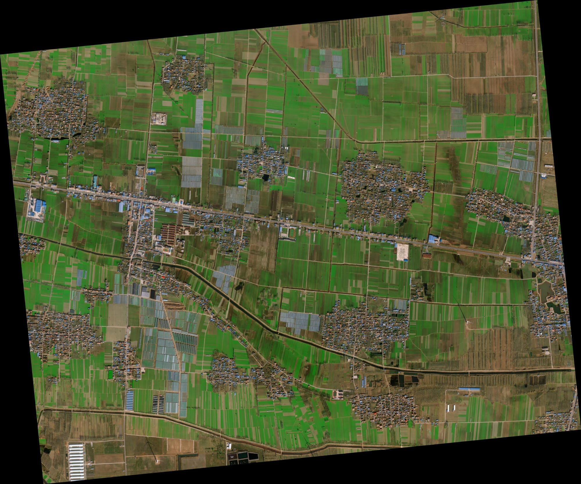
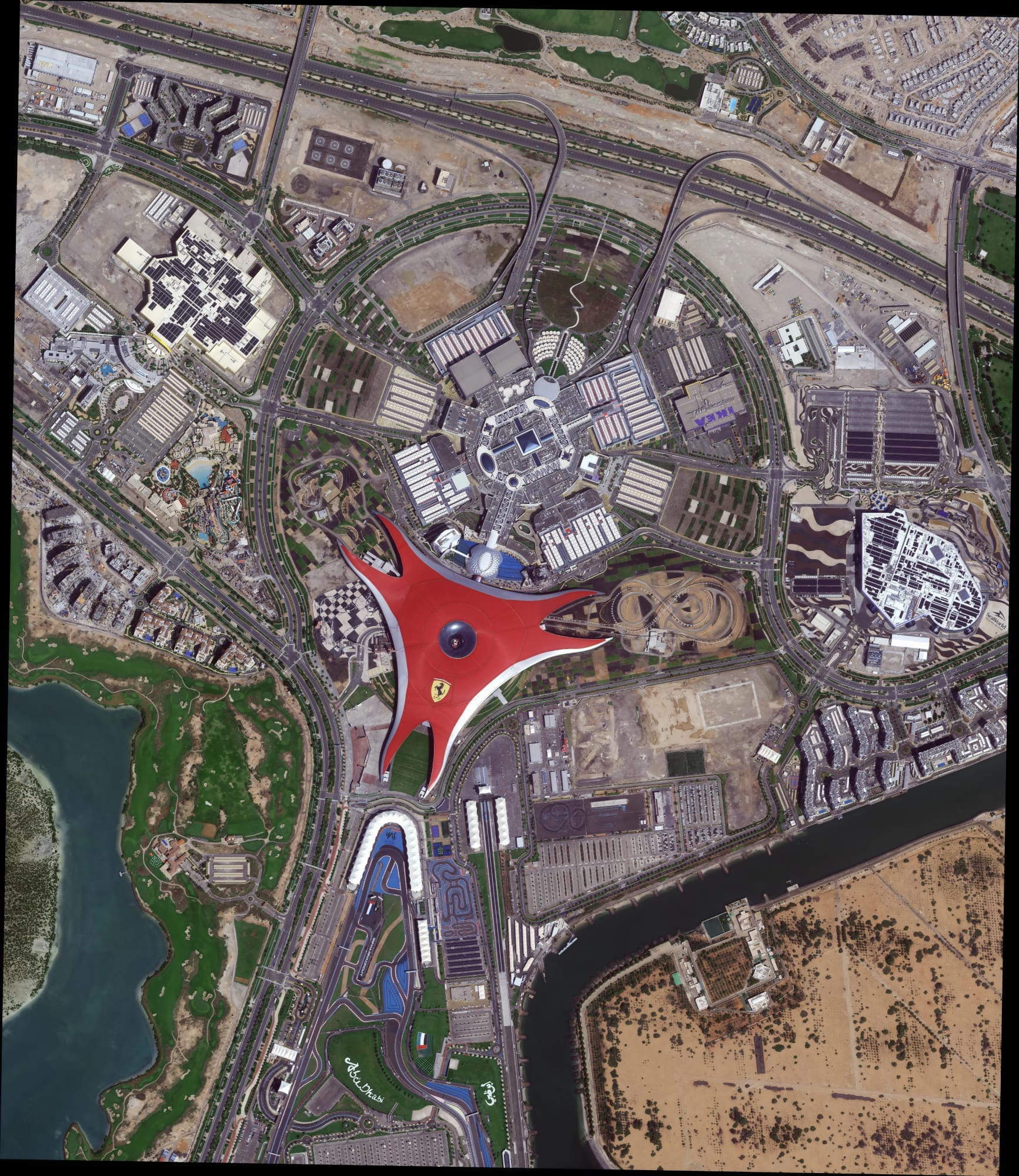
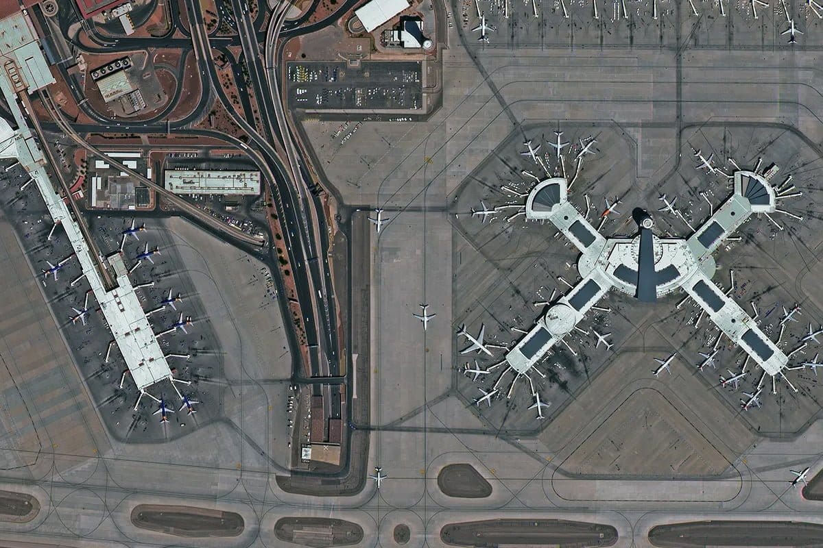
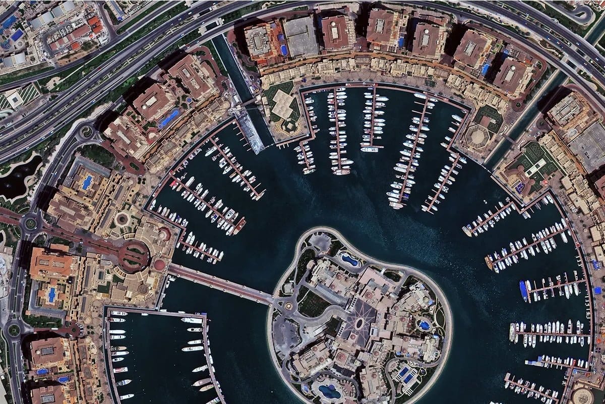
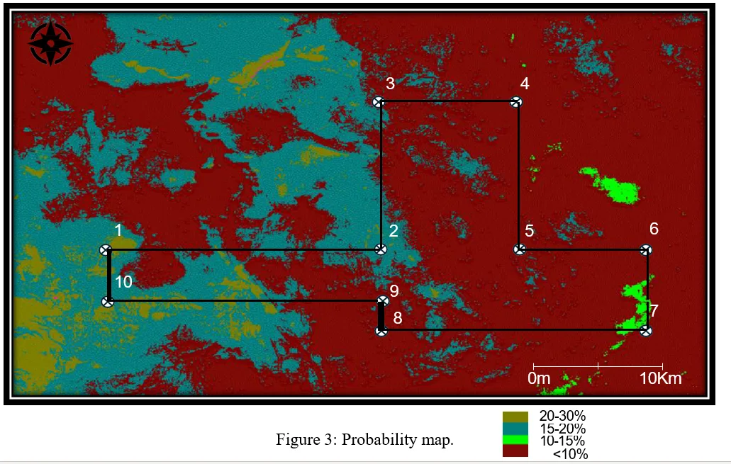
Select from optical, SAR, hyperspectral or DEM data based on your project. Archive imagery from 1999 is the lowest price. New tasking is available at standard, priority or emergency speed.
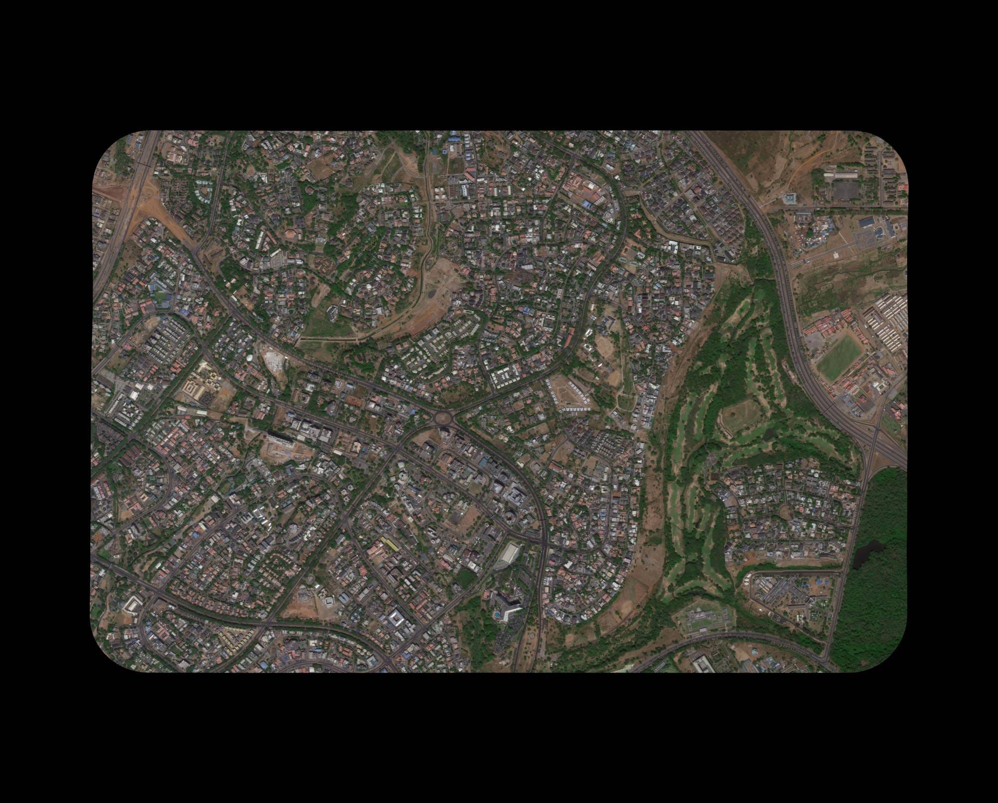
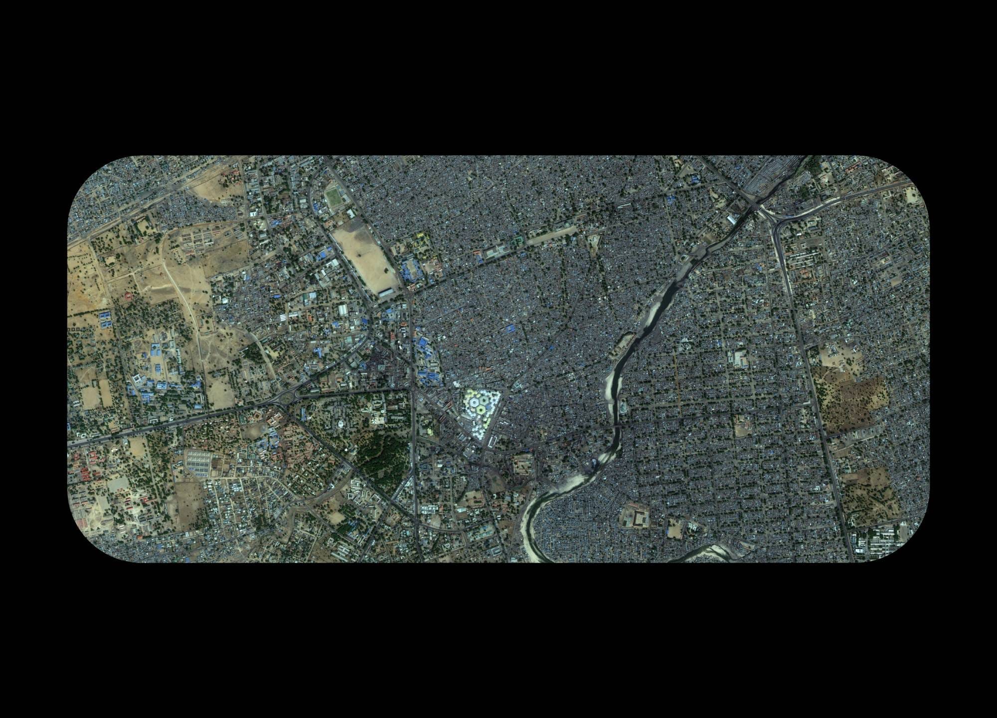
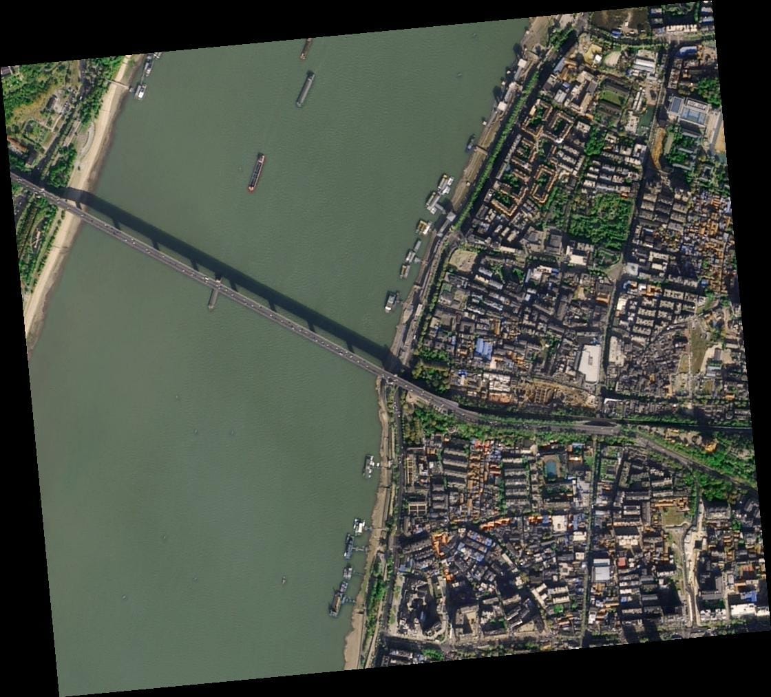
- 30cm to 2m optical imagery — visual analysis and mapping
- SAR imagery — all-weather, day and night imaging
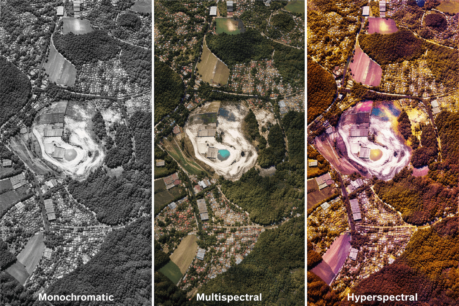
- Hyperspectral data — mineral detection and agriculture
- DEM / DSM / DTM — elevation models for engineering
 View Full Pricing
Receive Your Quote Within 24 Hours
XRTech responds to every enquiry within 24 hours with a firm price, confirmed delivery timeline and a free sample tile for your region. Once you approve we place the order directly with the satellite operator.
- Firm quote with exact price per km² and total cost
- Free sample satellite image tile may be included
- Confirmed delivery date before you pay anything
 Request Free Sample
Download Your Imagery Data
Data is delivered via secure cloud link or physical HDD for large volumes. All formats load directly into QGIS, ArcGIS, AutoCAD and any GIS or CAD platform with no conversion needed.
- GeoTIFF, IMG, SHP and DWG formats available
- WGS84, UTM or custom coordinate projections
- Archive orders delivered within 48 hours of approval
- New tasking delivered in under 7 days from capture
 Place Your Order


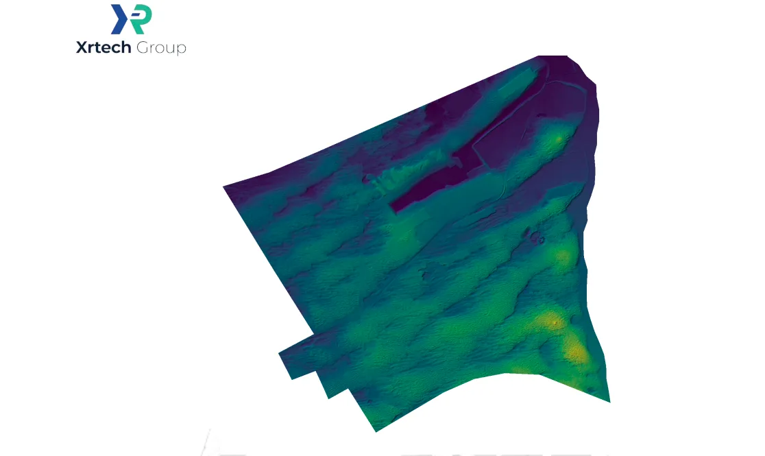
DEM / DSM / DTM
DEM / DSM / DTM
Elevation data derived from stereo imagery. Used for terrain analysis, engineering surveys, and hydrological modelling. 2–10m spacing, ±3m RMSE accuracy.
Learn About DEM →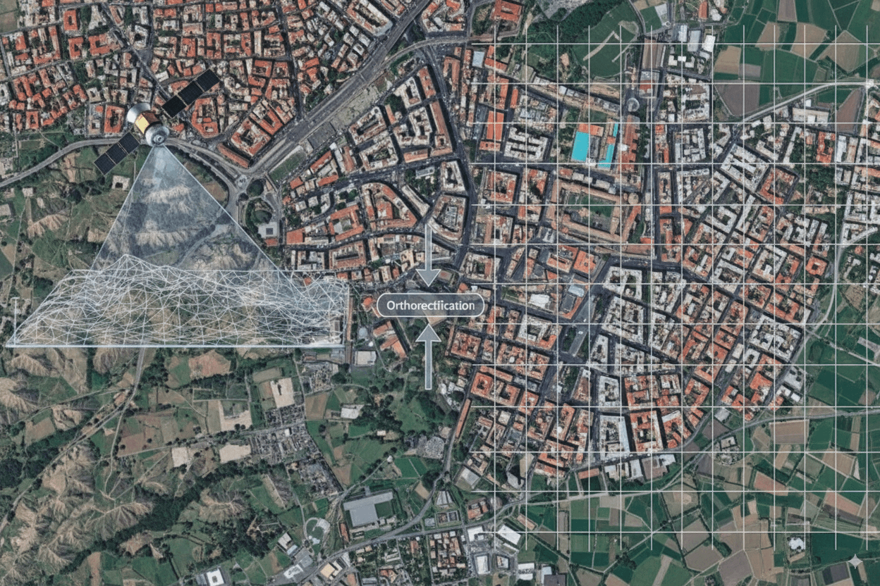
Digital Orthophoto Maps
Digital Orthophoto Maps
Georeferenced, orthorectified image maps with 50cm resolution and 8m CE90 precision. Ready for GIS and CAD. Delivered in GeoTIFF or DWG.
Learn About DOM →
3D City Models
3D City Models
High-resolution 3D city models, building white models with accurate heights, and 3D geological mapping integrating DEM and DOM for urban and mining scenarios.
Explore 3D Models →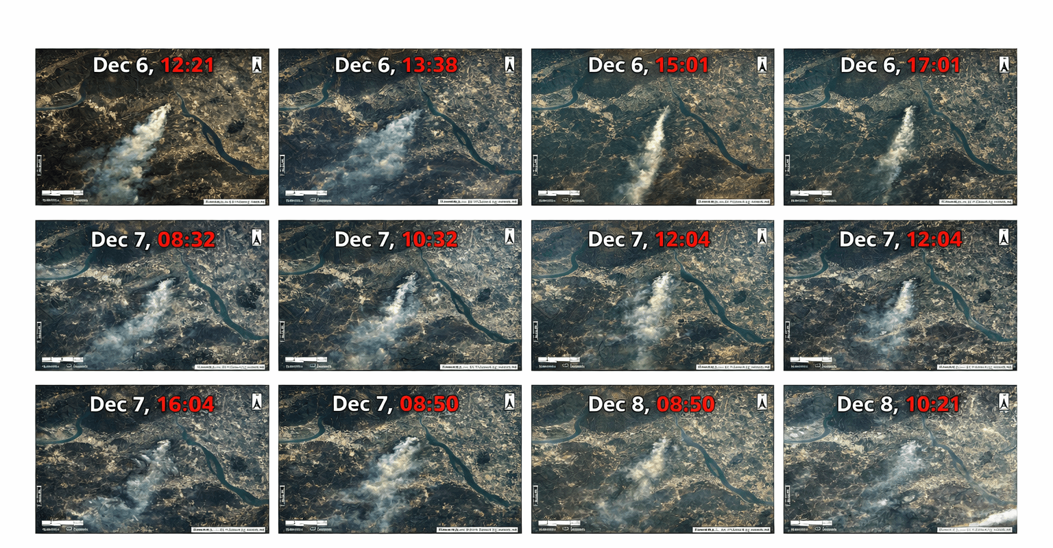
AI Remote Sensing
AI Remote Sensing
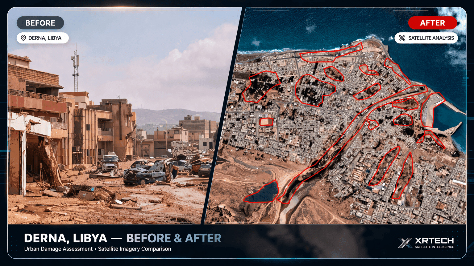
Target detection, semantic segmentation, change detection, and InSAR monitoring — AI-driven analysis applied directly to your satellite imagery.
Request AI Analysis →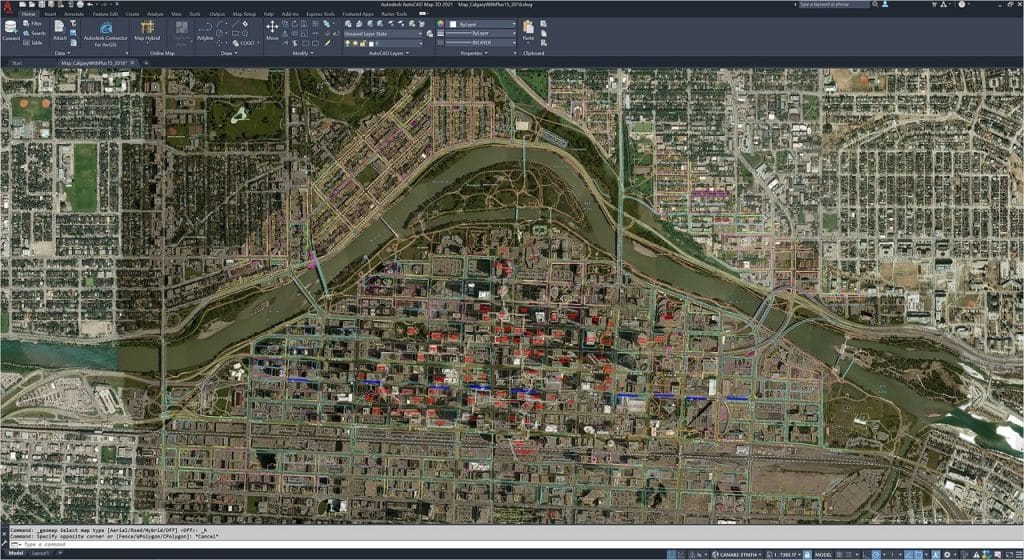
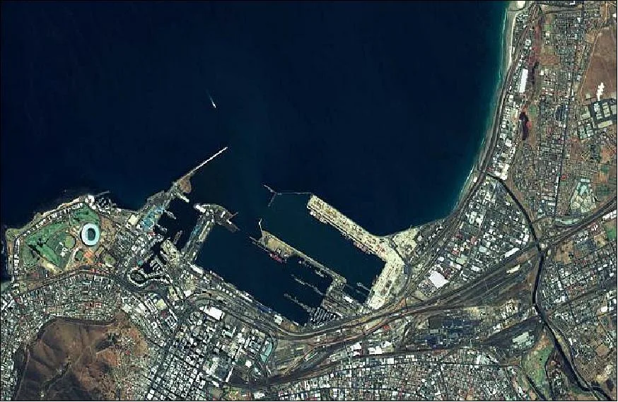
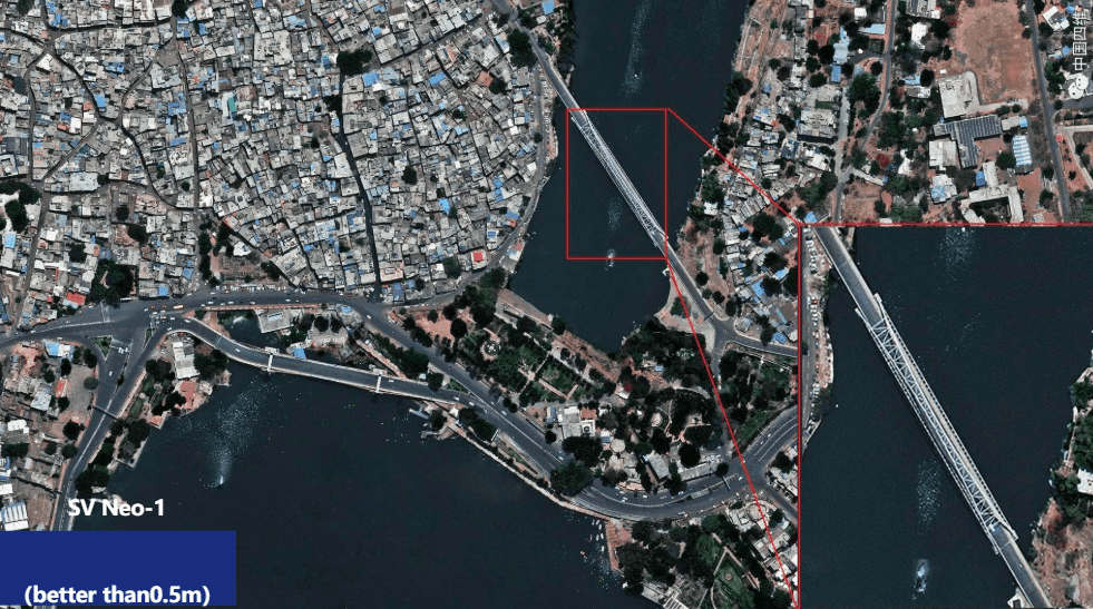
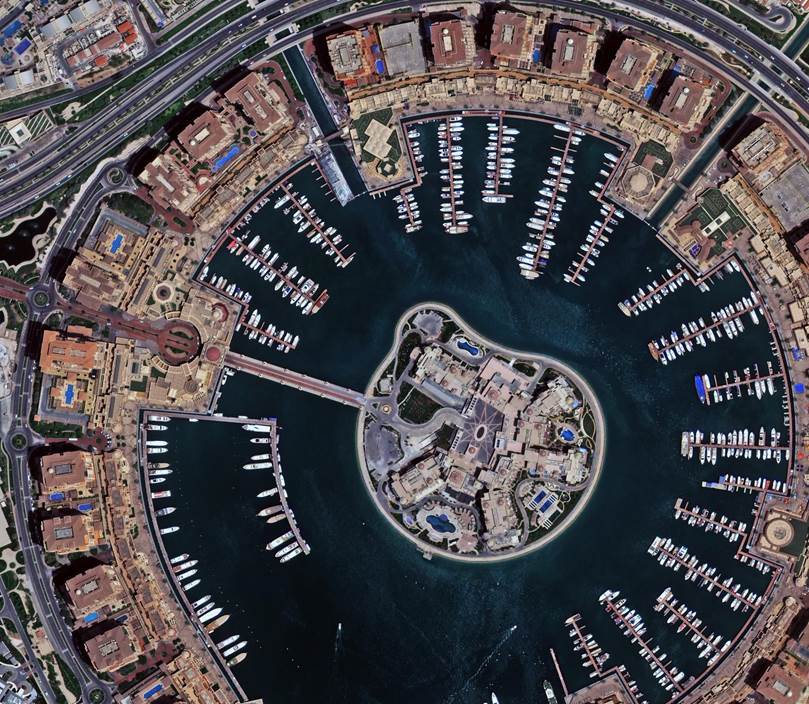
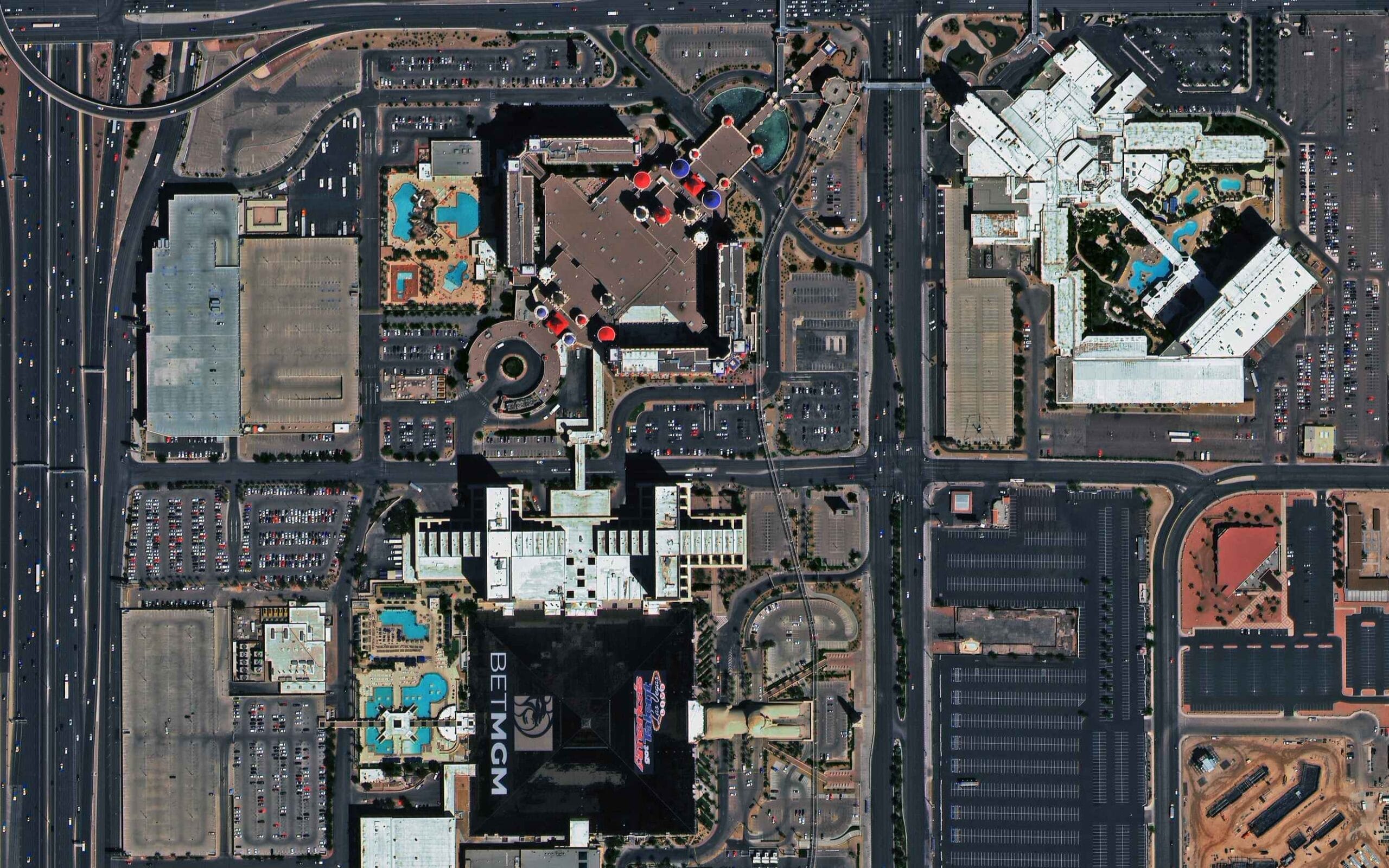
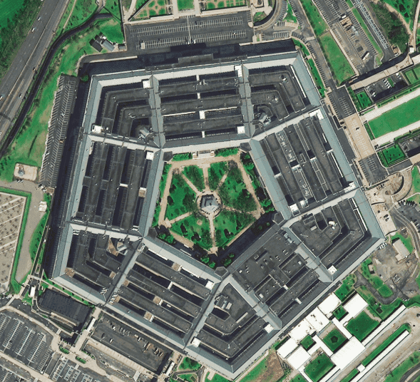
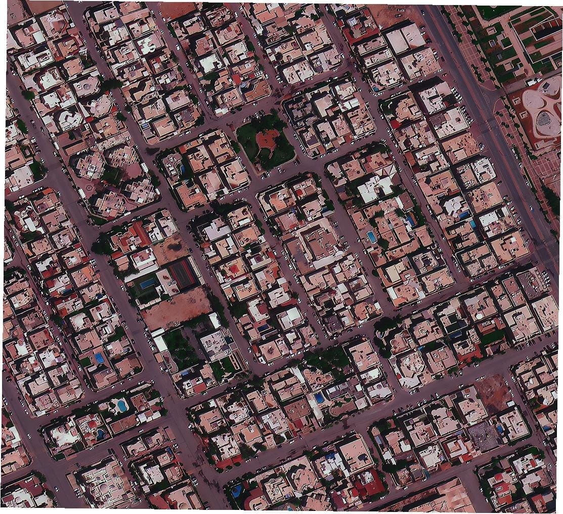
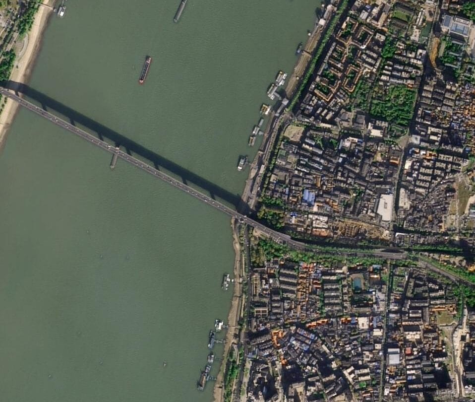
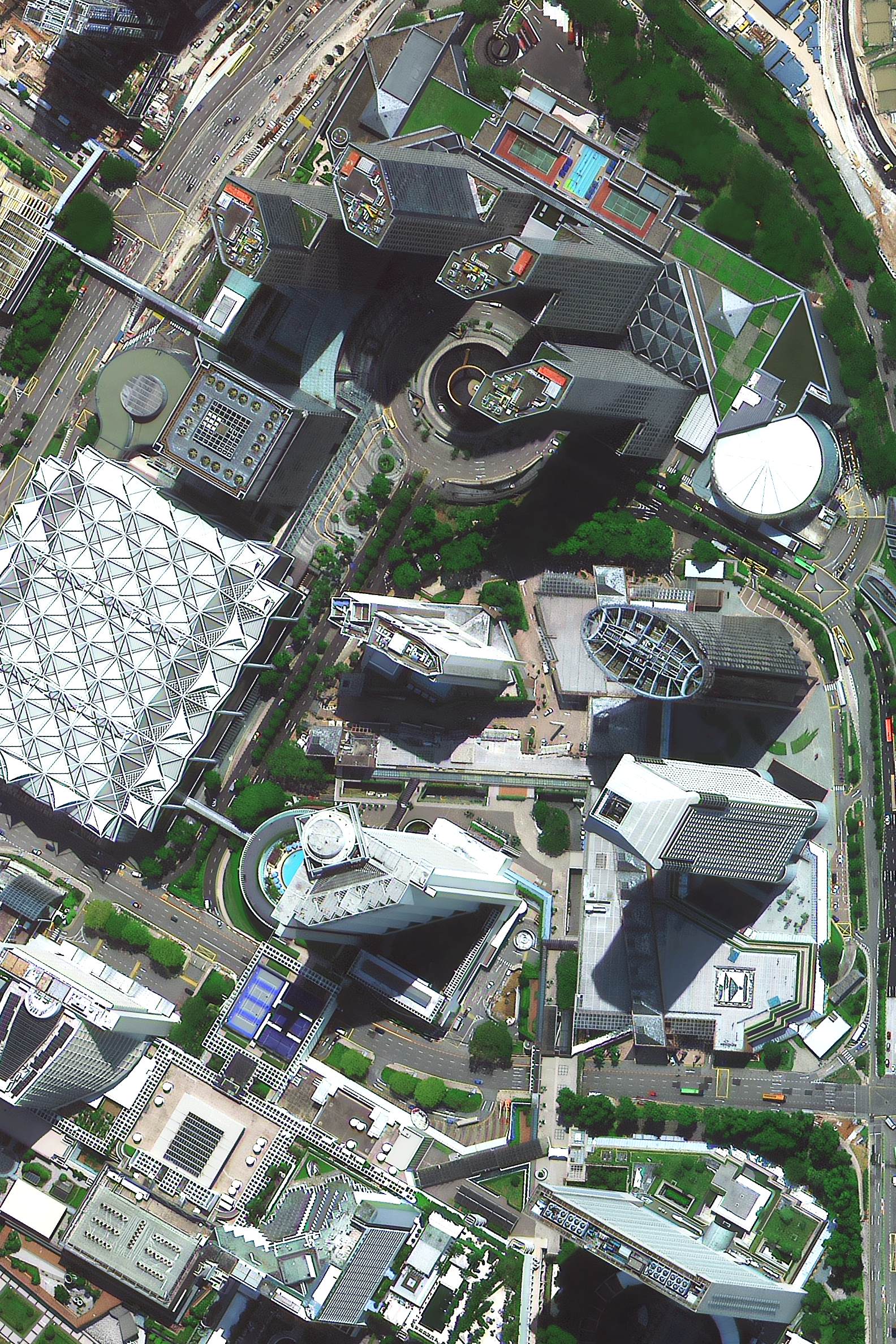
When you decide to buy high-resolution satellite images, you need accuracy, speed, and reliability. XRTech Group partners with leading satellite imagery provider with 130+ Satellites in the space to ensure you get the most detailed and up-to-date data available. With resolutions as sharp as 25 cm per pixel, you can monitor key areas, analyze changes, and make critical decisions with confidence.
Our platform offers:
- High-Resolution Data: We offer up to 25cm resolution for detailed satellite imagery.
- Flexible Collection Options: Choose from archive data, standard requests, priority collection, or emergency imaging.
- Custom Order Sizes: Whether you need 25 km² or 100 km², we have flexible minimum order sizes.
- Competitive Pricing: Affordable rates with transparent pricing for different needs.
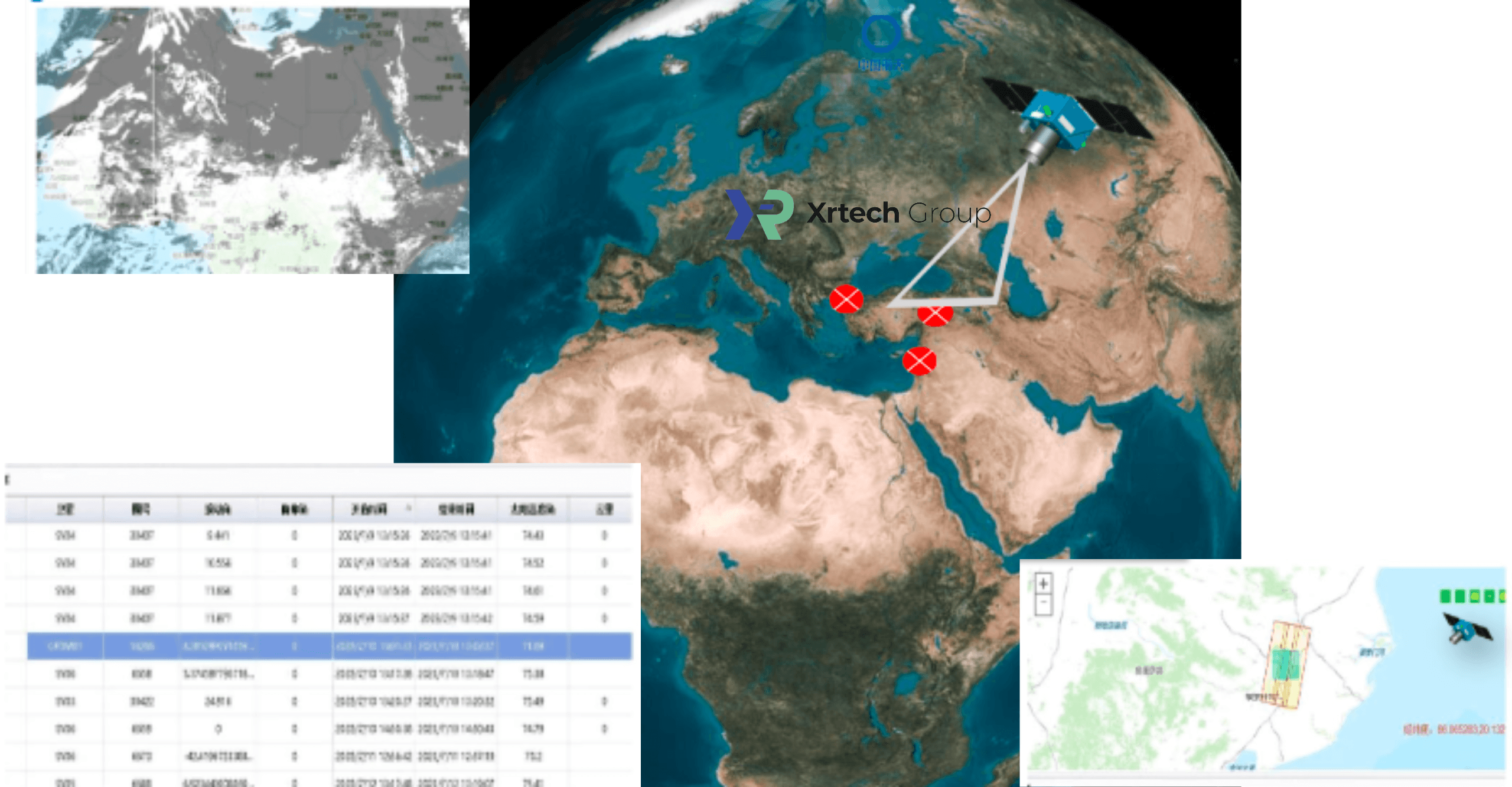
- Real-time satellite awareness for up-to-the-minute data.
- A comprehensive satellite imagery archive for historical analysis.
- The ability to task satellites and acquire new images on demand.
- An easy-to-use online system for quick and secure purchases.