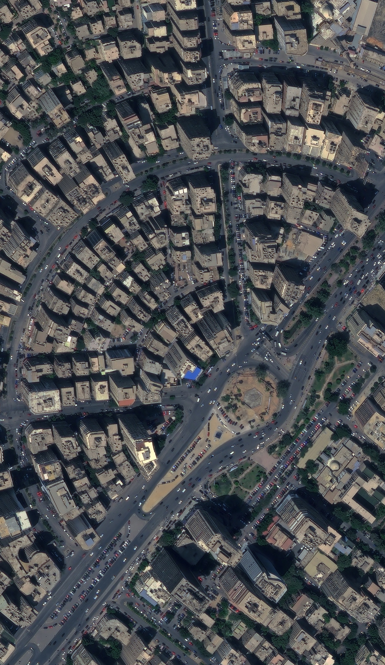
A sub-metre optical satellite image of a dense residential district in Cairo, with tightly packed apartment blocks, a large roundabout and heavy traffic.
This satellite view of Cairo, Egypt was captured from orbit, not by plane or drone. Click the aerial view to open it full size.
Aerial view of Cairo, Egypt from space
Cairo is one of the most densely built cities in the world. In this scene, mid-rise apartment blocks fill almost every plot, rooftops carry water tanks and small structures, and a wide avenue curves around a planted roundabout full of cars.
Fast-growing cities change month by month. Repeat imagery lets authorities track new floors, informal building and road changes without sending survey teams to every street.
What you can see in this aerial view
Mid-rise apartment blocks and rooftop structures
A planted roundabout and curved avenue
Cars, buses and parked vehicles
Street pattern and building footprints
Who uses satellite imagery of places like this
Governments and planners use it for urban growth monitoring and illegal building detection, and developers use it for real estate studies.
Order archive images or new tasking, from 15cm HD and 30cm optical to all-weather SAR, delivered worldwide as GeoTIFF. Tell us your area and we send available images and a price, usually within 24 hours.