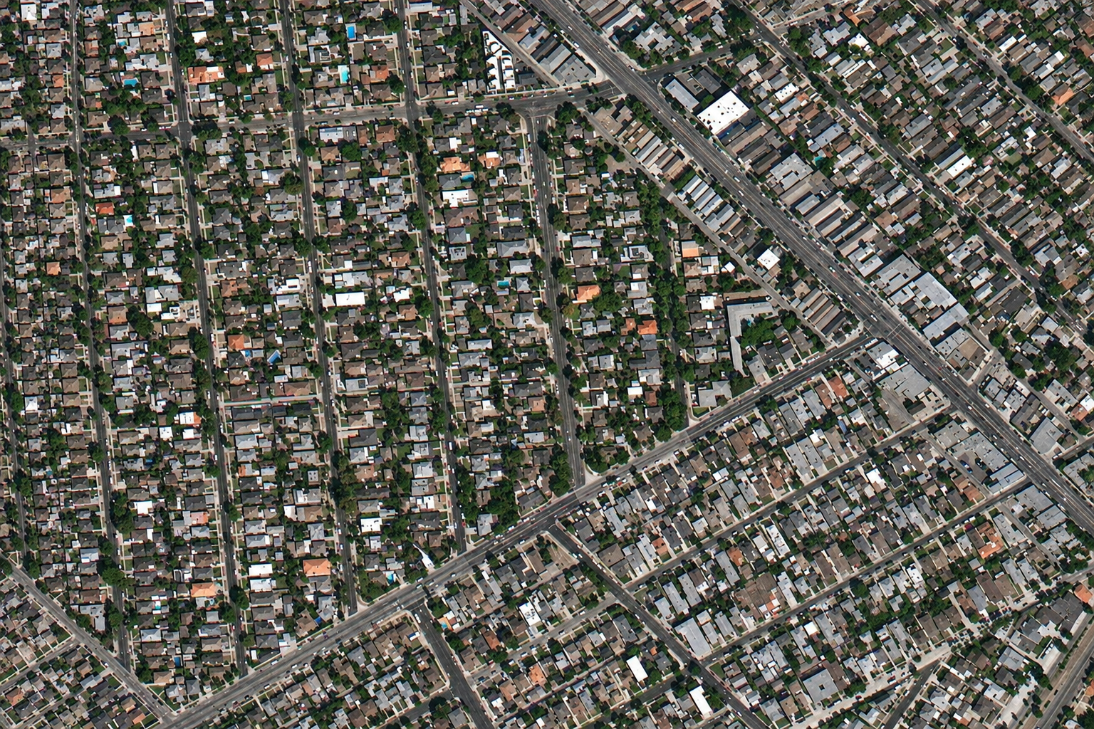
Satellite imagery of a suburban neighbourhood in California at 80cm, with houses, curving streets and tree cover.
This satellite view of Suburban California was captured from orbit, not by plane or drone. Click the aerial view to open it full size.
Aerial view of Suburban California from space
Thousands of single-family homes, gardens and streets fill the scene, with a few larger roads cutting across the grid. Roofs, tree canopy and street layout are easy to read.
At 80cm, whole counties can be covered quickly and at a low cost per square kilometre, which suits regional planning and insurance work.
Order archive images or new tasking, from 15cm HD and 30cm optical to all-weather SAR, delivered worldwide as GeoTIFF. Tell us your area and we send available images and a price, usually within 24 hours.