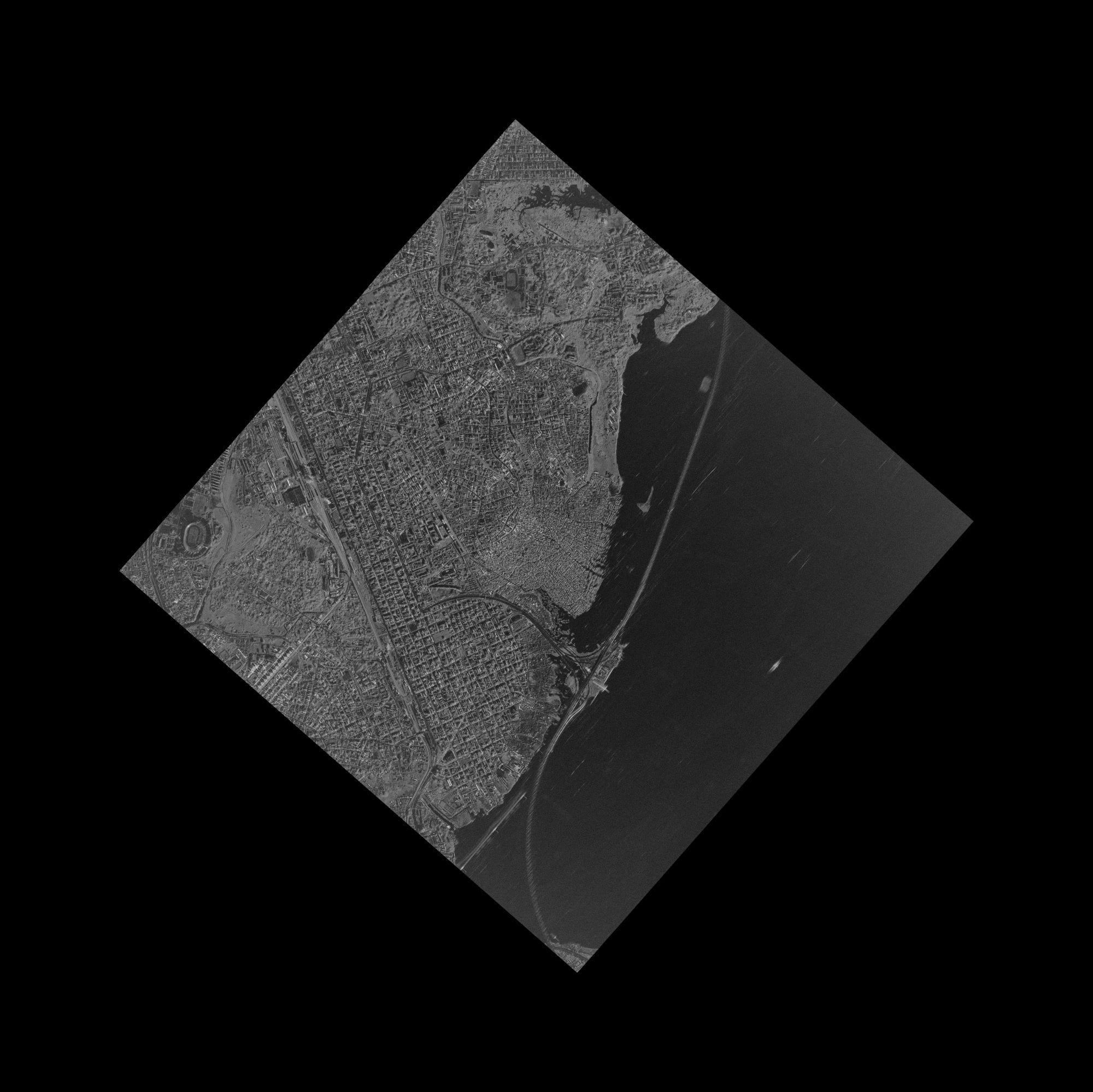
X-band SAR satellite imagery of coastal Nigeria, showing the city, a lagoon, the shoreline and infrastructure in one radar scene.
This satellite view of Coastal Nigeria (X-band SAR) was captured from orbit, not by plane or drone. Click the aerial view to open it full size.
Aerial view of Coastal Nigeria (X-band SAR) from space
The scene is shown as delivered, tilted inside its frame, which is how a radar strip looks before it is cropped. Built-up areas are bright, water is dark and the long straight shoreline runs down the right side.
Coastal West Africa is often cloudy, so radar gives a reliable, dated view of cities, ports and infrastructure.
What you can see in this aerial view
Bright built-up areas
A lagoon and inland water
The long straight shoreline
Roads and infrastructure lines
Who uses satellite imagery of places like this
Telecom, energy and government teams use SAR satellite imagery to map infrastructure and monitor coastlines through cloud.
Order archive images or new tasking, from 15cm HD and 30cm optical to all-weather SAR, delivered worldwide as GeoTIFF. Tell us your area and we send available images and a price, usually within 24 hours.