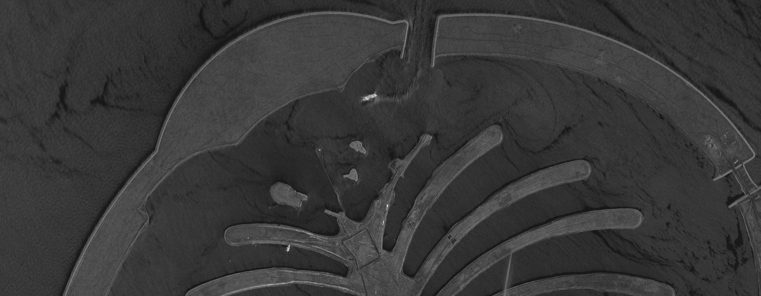
A radar (SAR) satellite image of the Palm Islands in Dubai, showing the fronds, trunk and crescent breakwater in black and white.
This satellite view of Palm Islands, Dubai (SAR) was captured from orbit, not by plane or drone. Click the aerial view to open it full size.
Aerial view of Palm Islands, Dubai (SAR) from space
Radar satellites send their own microwave signal and record the echo, so they image the ground through cloud, haze, dust and darkness. Calm water reflects the signal away from the sensor and looks dark, while land, rock armour and buildings send it back and look bright. That is why the palm shape stands out so clearly against the sea.
Because SAR does not depend on sunlight, it is the go-to choice for regular monitoring of coastlines, ports and offshore assets on a fixed schedule.
What you can see in this aerial view
The palm fronds and central trunk of the island
The outer crescent breakwater and its gaps for water flow
Rough and calm sea surface patterns around the island
Access causeway and bright returns from built structures
Who uses satellite imagery of places like this
Port authorities, coastal engineers and energy companies use SAR satellite imagery for shoreline change, oil and gas asset checks and oil spill detection at sea.
Order archive images or new tasking, from 15cm HD and 30cm optical to all-weather SAR, delivered worldwide as GeoTIFF. Tell us your area and we send available images and a price, usually within 24 hours.