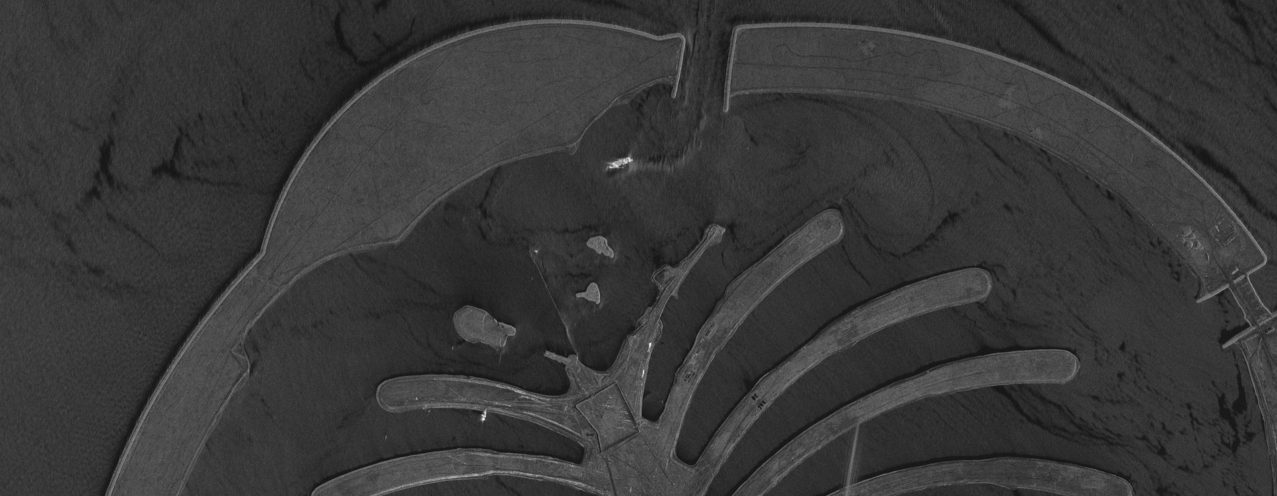
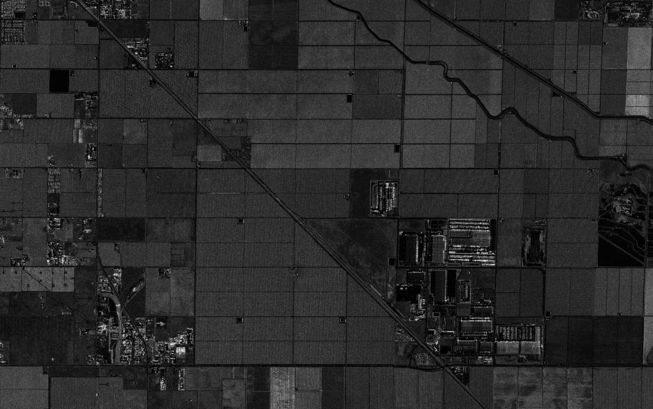
Satellite View of Condamine River, Australia (SAR)
SAR satellite imagery of the Condamine River area in Queensland, Australia, with a winding river channel, centre pivot fields and water storage ponds.
This satellite view of Condamine River, Australia (SAR) was captured from orbit, not by plane or drone. Click the aerial view to open it full size.
Aerial view of Condamine River, Australia (SAR) from space
The river snakes across the scene as a dark line, round centre pivot fields show as circles and the storage ponds at the top appear black because calm water reflects radar away.
Radar is used in farming regions to map water storage, irrigation and flood extent, even during cloudy wet seasons.
What you can see in this aerial view
The winding river channel
Round centre pivot fields
Water storage ponds
Farm roads and field boundaries
Who uses satellite imagery of places like this
Water managers and agribusinesses use SAR imagery for irrigation, water storage and flood monitoring.
Order archive images or new tasking, from 15cm HD and 30cm optical to all-weather SAR, delivered worldwide as GeoTIFF. Tell us your area and we send available images and a price, usually within 24 hours.