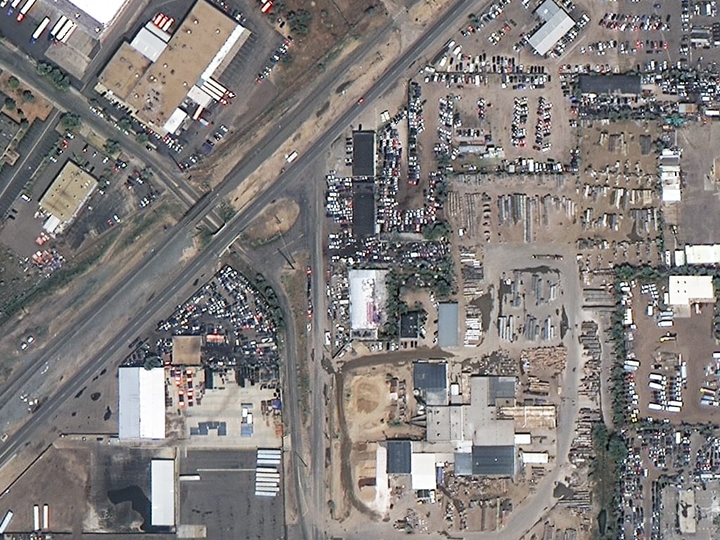
Satellite imagery of an industrial district in Denver from SuperView-1 at 50cm, with warehouses, yards, a highway and parked vehicles.
This satellite view of Industrial District, Denver was captured from orbit, not by plane or drone. Click the aerial view to open it full size.
Aerial view of Industrial District, Denver from space
A highway crosses the scene diagonally, with warehouses, storage yards, a construction site and parking lots on both sides. Vehicles and equipment are easy to count.
Industrial areas change quickly, so repeat 50cm imagery is a simple way to track construction, storage and site use over time.
Order archive images or new tasking, from 15cm HD and 30cm optical to all-weather SAR, delivered worldwide as GeoTIFF. Tell us your area and we send available images and a price, usually within 24 hours.