Satellite View of Downtown Washington DC (SuperView-2)
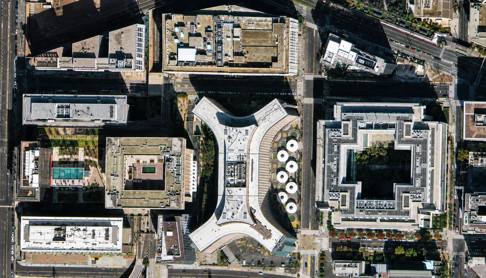
Satellite imagery of downtown Washington DC from SuperView-2 at 42cm native resolution, with office blocks, inner courtyards and rooftop equipment.
This satellite view of Downtown Washington DC (SuperView-2) was captured from orbit, not by plane or drone. Click the aerial view to open it full size.
Aerial view of Downtown Washington DC (SuperView-2) from space
Large office blocks with inner courtyards fill the frame, including a striking white building with curved wings. Rooftop units, a rooftop pool, street trees and vehicles are visible between the buildings.
SuperView-2 delivers native imagery below half a metre, which is useful for city mapping where buildings sit close together.
Order archive images or new tasking, from 15cm HD and 30cm optical to all-weather SAR, delivered worldwide as GeoTIFF. Tell us your area and we send available images and a price, usually within 24 hours.