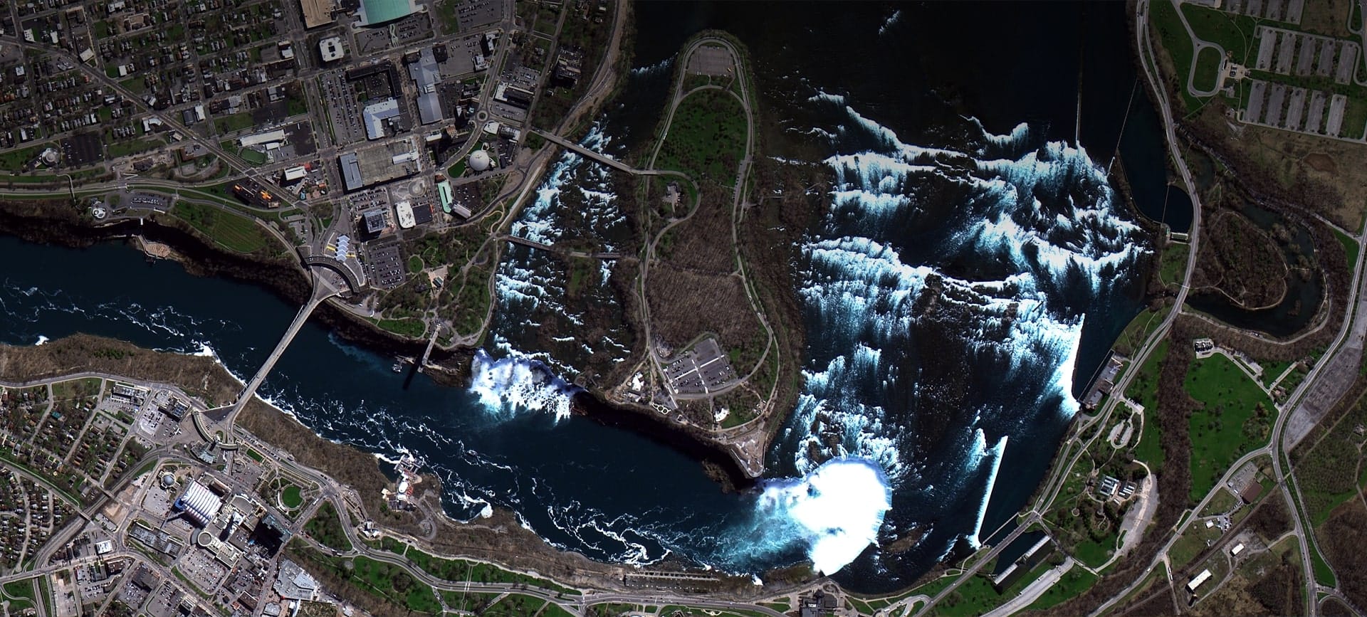
Satellite imagery of Niagara Falls on the border of the USA and Canada, with white water pouring over the falls and the Niagara River below.
This satellite view of Niagara Falls was captured from orbit, not by plane or drone. Click the aerial view to open it full size.
The white spray of the falls stands out against the dark river. Roads, bridges, parks and buildings line both banks.
River and waterfall scenes help engineers and environmental teams study erosion, water flow and tourism infrastructure.
Environmental and tourism teams use satellite imagery for environmental monitoring and site planning.
Need satellite imagery of your own site with the same level of detail? Buy high resolution satellite imagery of any area, or search the archive yourself in the XRTech satellite imagery portal.
Order archive images or new tasking, from 15cm HD and 30cm optical to all-weather SAR, delivered worldwide as GeoTIFF. Tell us your area and we send available images and a price, usually within 24 hours.
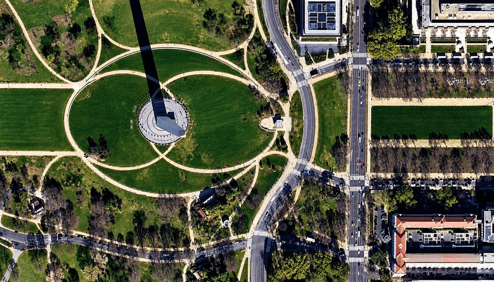
Optical · 50cm native · Washington DC, USA
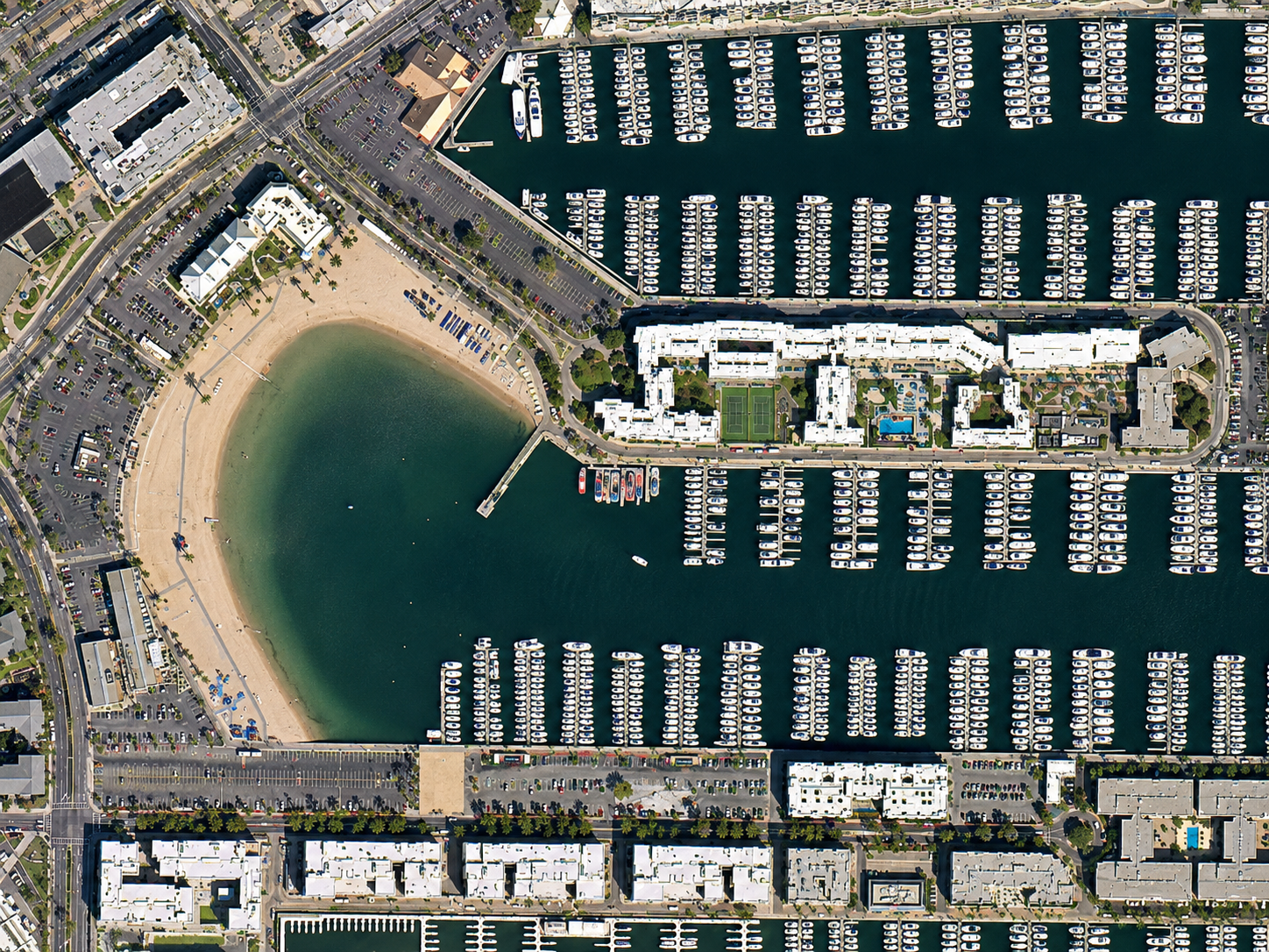
Optical · 80cm · California, USA
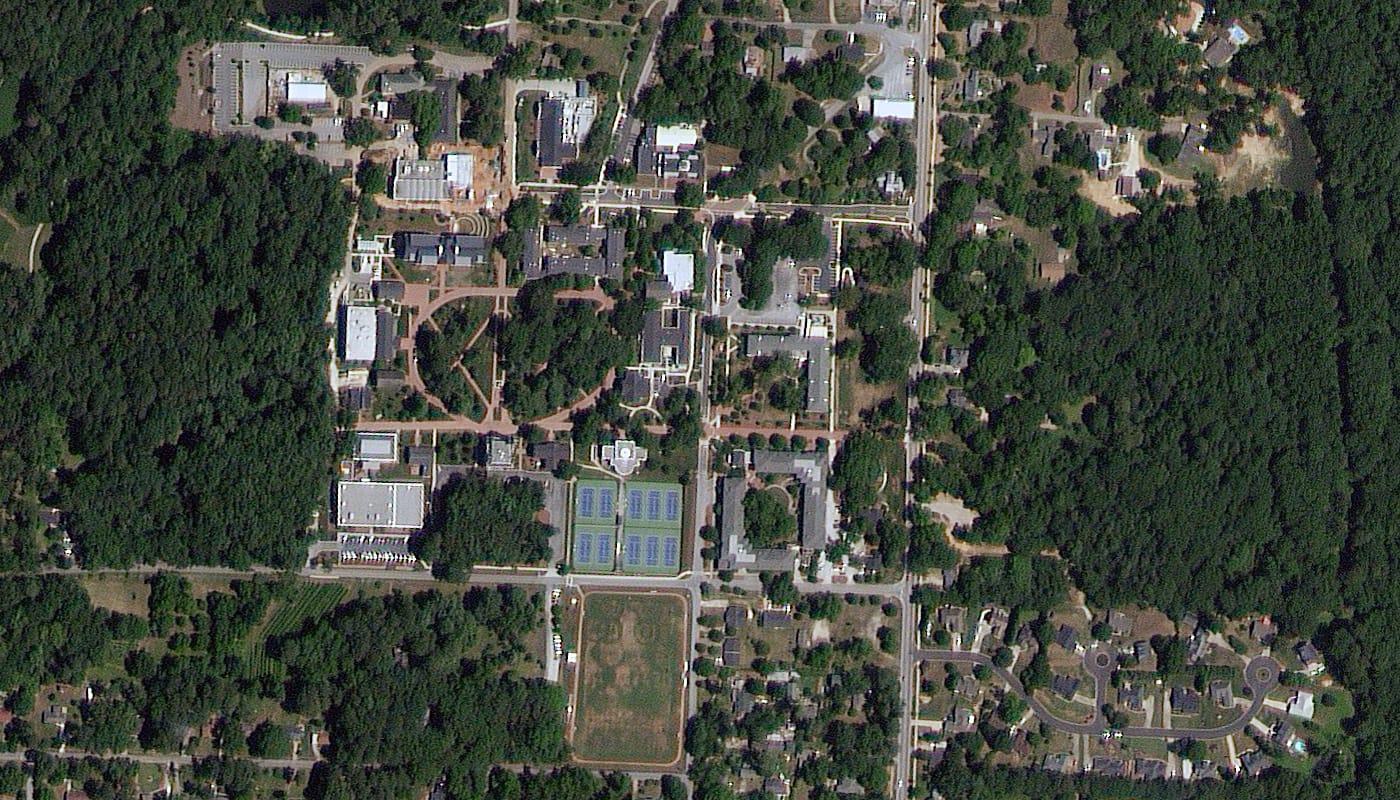
Optical · 80cm · Georgia, USA
Back to the satellite image gallery