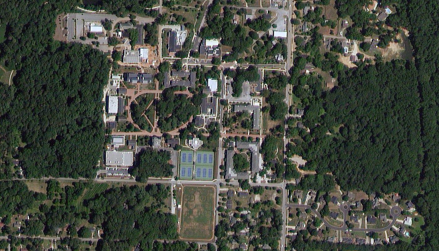
A TripleSat 80cm satellite image of Oxford, Georgia, showing a small town centre and campus surrounded by dense woodland.
This satellite view of Oxford, Georgia was captured from orbit, not by plane or drone. Click the aerial view to open it full size.
Aerial view of Oxford, Georgia from space
The scene shows how a small American town sits inside its landscape: buildings, sports fields and tennis courts cluster around a few streets, with thick tree cover on every side.
Wide-area 80cm imagery like this is popular for county mapping, forestry, utility corridors and land use studies, where coverage matters as much as fine detail.
Order archive images or new tasking, from 15cm HD and 30cm optical to all-weather SAR, delivered worldwide as GeoTIFF. Tell us your area and we send available images and a price, usually within 24 hours.