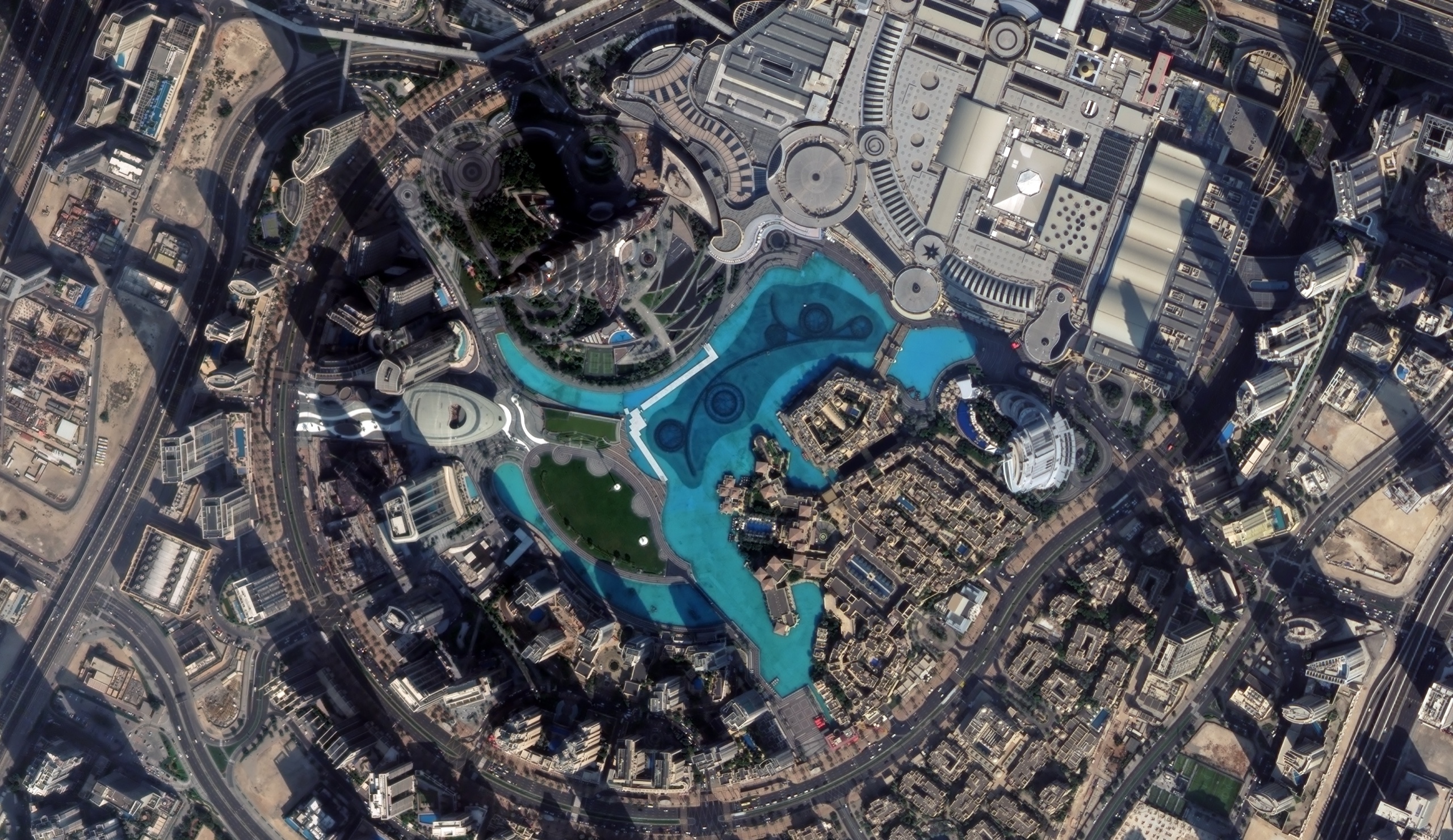
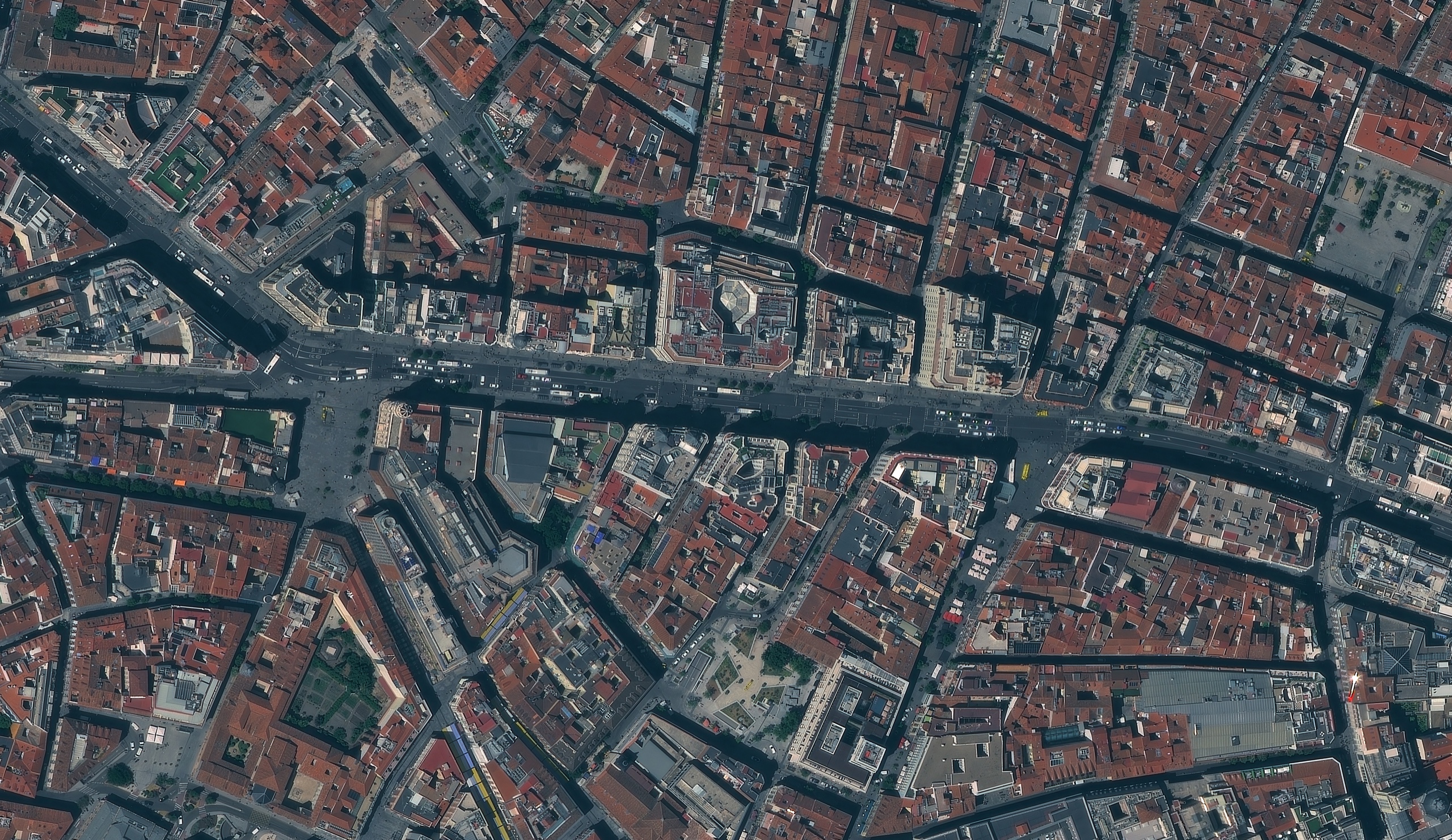
Satellite imagery of a planned city district in China, with a round central park, a lake, apartment blocks and a regular street grid.
This satellite view of Planned City District, China was captured from orbit, not by plane or drone. Click the aerial view to open it full size.
Aerial view of Planned City District, China from space
The district is laid out around a circular park with a lake to the north. Blue factory roofs, red-roofed housing, schools and sports fields fill the blocks between wide roads.
Fast-growing districts like this are mapped again and again to track new building, land use and infrastructure.
What you can see in this aerial view
A circular central park
A lake and green spaces
Apartment blocks and blue factory roofs
A regular grid of wide roads
Who uses satellite imagery of places like this
Planners and governments use satellite imagery for urban planning and growth monitoring.
Order archive images or new tasking, from 15cm HD and 30cm optical to all-weather SAR, delivered worldwide as GeoTIFF. Tell us your area and we send available images and a price, usually within 24 hours.