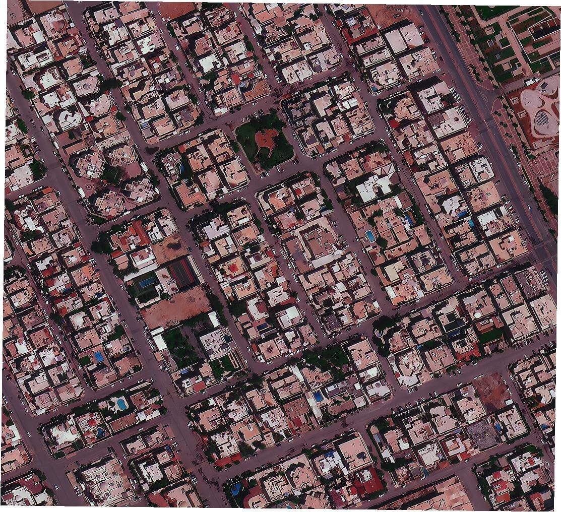
Satellite View of Riyadh, Saudi Arabia

A native 50cm satellite image of a residential district in Riyadh, with villas, walled courtyards and a regular street grid.

This satellite view of Riyadh, Saudi Arabia was captured from orbit, not by plane or drone. Click the aerial view to open it full size.

Aerial view of Riyadh, Saudi Arabia from space

Riyadh neighbourhoods follow a clear grid of streets and plots. Each villa, courtyard, roof and boundary wall is visible, along with a small park and mosque grounds.

Fast-growing Gulf cities use imagery like this to update base maps, check new building and plan services across large urban areas.

What you can see in this aerial view

  • Villas and walled courtyards
  • A regular street grid
  • Small parks and public spaces
  • Cars on streets and driveways

Who uses satellite imagery of places like this

Municipalities and developers use 50cm satellite imagery for urban planning and real estate work.

Need satellite imagery of your own site with the same level of detail? Buy high resolution satellite imagery of any area, or search the archive yourself in the XRTech satellite imagery portal.

Image specifications

Sensor
Optical, natural colour
Satellite
50cm class optical satellite
Resolution
50cm
Location
Riyadh, Saudi Arabia
Scene
Residential district
Delivery formats
GeoTIFF, JPEG, KMZ
Licence
Commercial licence with every order

Get satellite imagery like this of your area

Order archive images or new tasking, from 15cm HD and 30cm optical to all-weather SAR, delivered worldwide as GeoTIFF. Tell us your area and we send available images and a price, usually within 24 hours.
More satellite images

Back to the satellite image gallery

Request Product Details